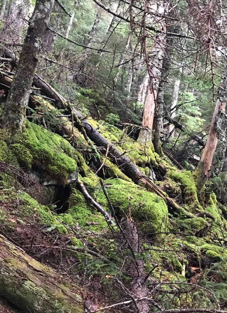
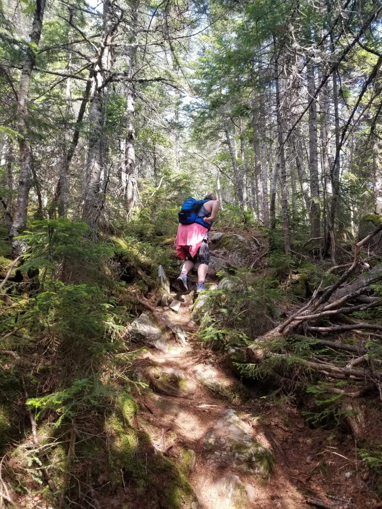
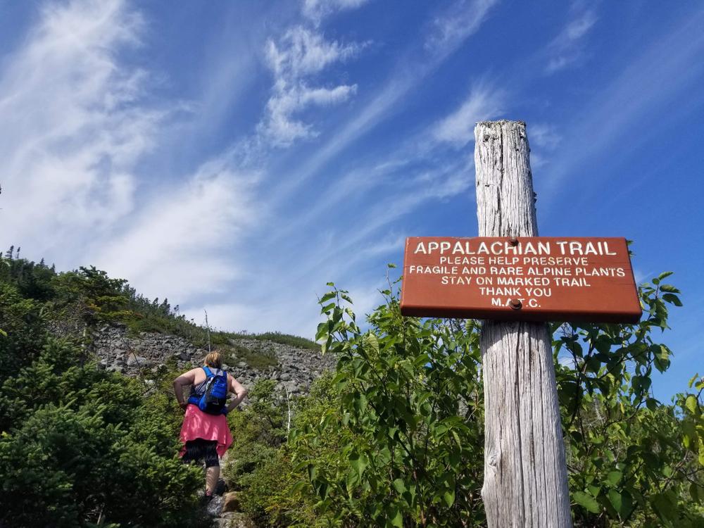
This hike up Mount Abraham, locally referred to as Mount Abram, offers a challenging and rewarding experience for the experienced and advanced hiker. The Fire Warden Trail is the traditional, non-Appalachian Trail approach to the highest of the eight peaks that make up the 4.5 mile ridge line. The ridge line and eastern slopes of the mountain, up which the trail climbs, are a part of a Maine state ecological reserve. The well-worn Fire Warden Trail is easy to follow with blue-blazed markings until just after the campsite/privy where they start to become sparse as the trail gets more steep.
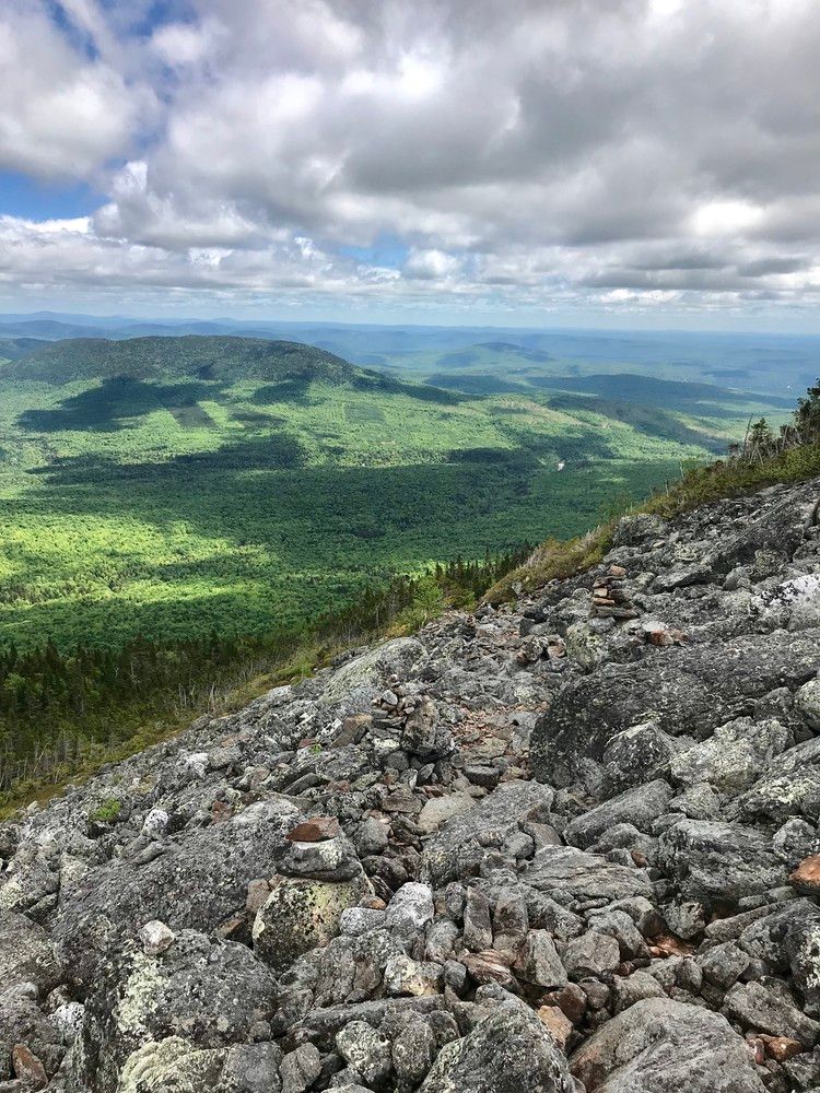
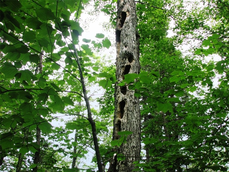
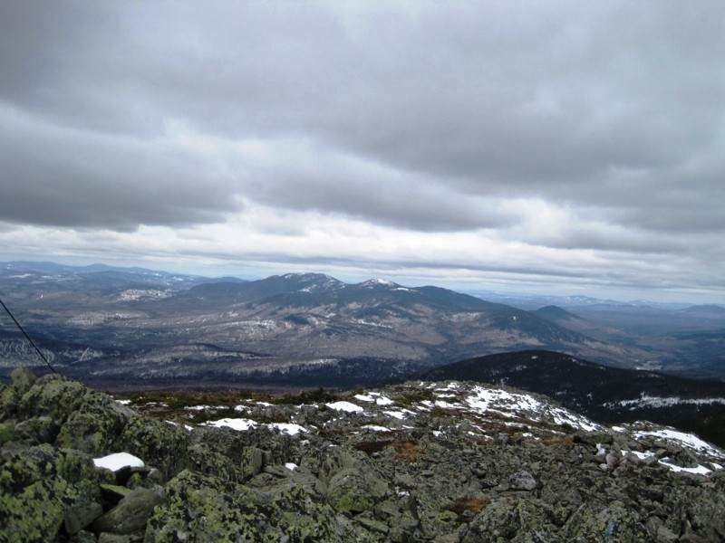
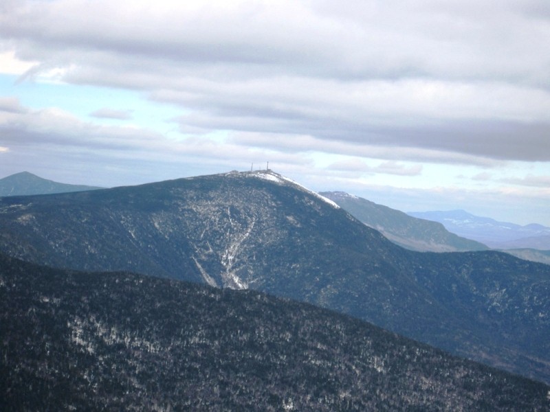
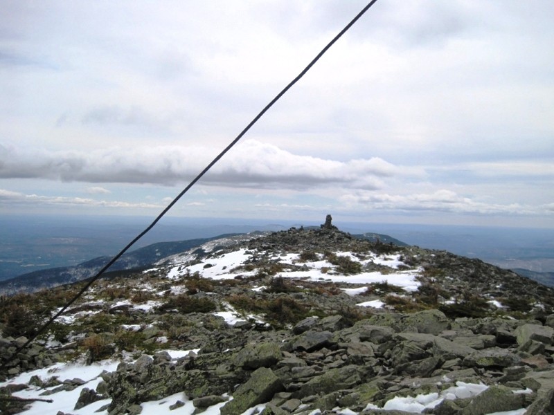
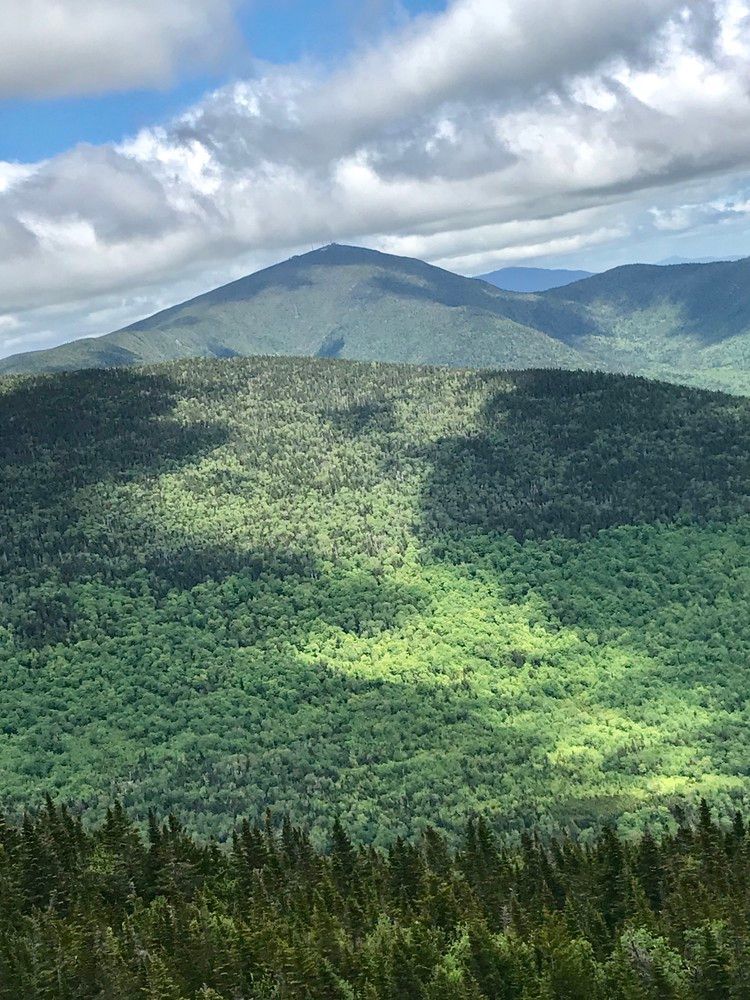
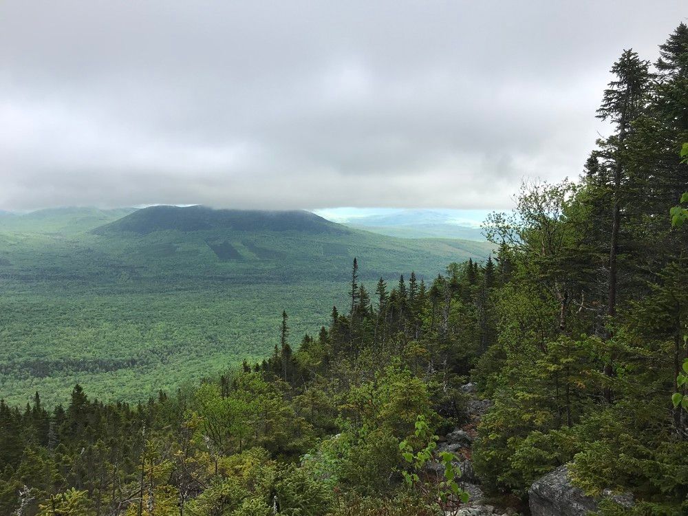
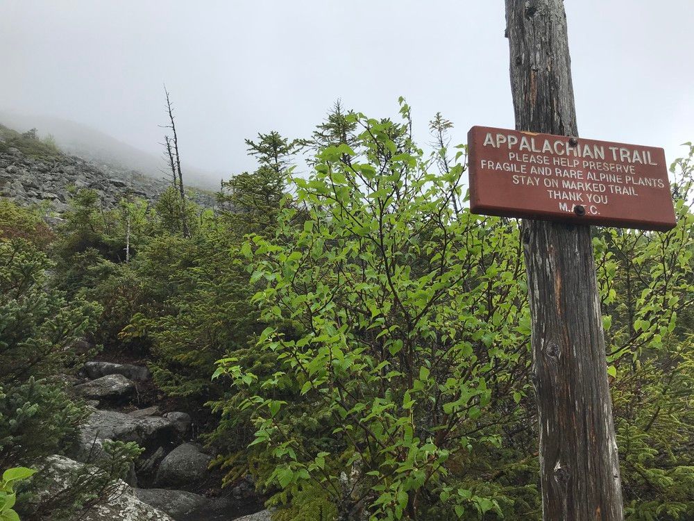
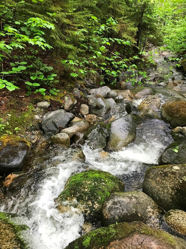
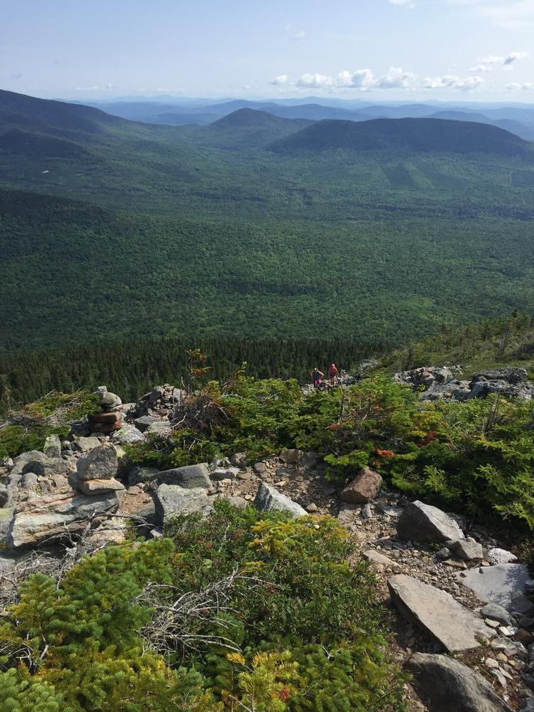
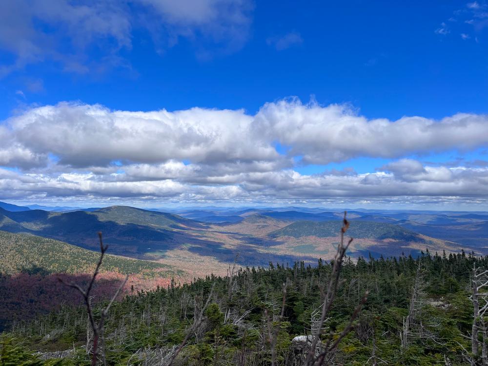
From the trailhead, the trail goes through forest stands of deciduous with open undergrowth, crosses another logging road at just over a mile, and continues to a campsite reached at roughly 2.5 miles from the start of the trail, the trail begins to steadily and sometimes steeply climb towards the 4,045 foot summit of Mount Abram. About three-quarters of a mile from the campsite, the trail breaks above tree line offering great views on a clear day of nearby Spaulding and Sugarloaf Mountains. The remaining half mile of the trail to the summit is a boulder scramble through the second largest alpine zone in Maine. At approximately 350 acres, it is second in area only to Katahdin in the state. This section of trail is very exposed and can be dangerous in bad weather. The trail is well marked by cairns above tree line, but even the experienced and advanced hikers will need to pay attention to stay on the trail, especially in bad weather.
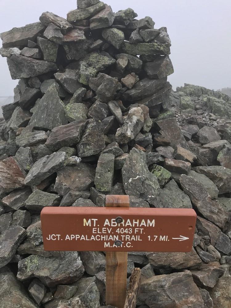
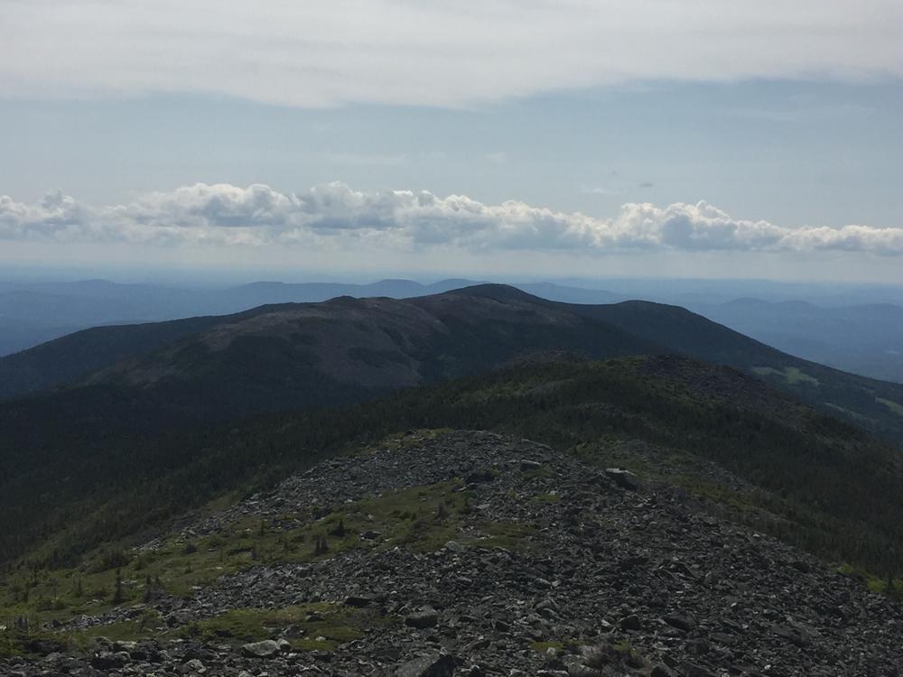
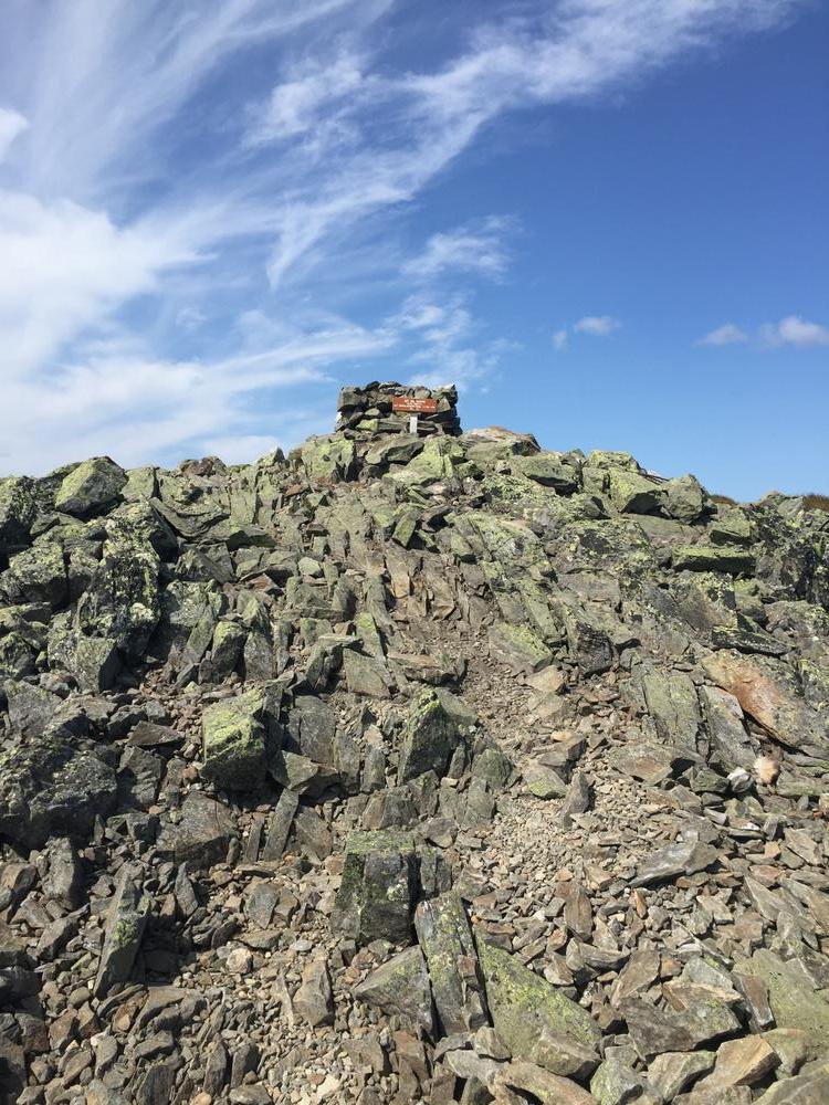
At the summit, there is a large cairn marking the peak. Here, the trail connects to a side trail which runs north to connect to the Appalachian Trail. On a clear day hikers can enjoy 360 degree views of the entire High Peaks region of Maine.
For more information about the interesting geology of Mount Abraham and the features along the trail check out Geology of Mount Abraham in the Maine Geological Survey's website

This trail passes through a property that was acquired in part with funds from the Land for Maine’s Future program. For more information about the LMF program and the places it has helped to protect, please visit the LMF webpage.
 Natural Heritage Hikes is a project of the Maine Natural Areas Program in partnership with Maine Trail Finder. View the "Mount Abraham Public Lands - Fire Warden Trail" guide online here.
Visit Maine Bureau of Parks and Lands online for more information or contact:
Maine Bureau of Parks and Lands, Western Public Lands OfficeFrom the intersection of ME-27 and ME-16 in Kingfield, follow ME-27 north about a half mile and turn left onto West Kingfield Road. This will be the second left after crossing a bridge over a tributary to the Carrabassett River. Stay on West Kingfield Road, which becomes a dirt road. West Kingfield Road ends after 3.5 miles; continue straight onto Rapid Stream Road (also a dirt road), and follow it another 2.5 miles until you reach the first major fork in the road. Take the left fork and park at the grassy pullout before Rapid Stream.
High clearance vehicles can continue on past this first parking area and across two bridges over Rapid Stream. After the second crossing, there is a fork, follow the right fork for approximately 1 mile until the trailhead, where parking is also available.
Success! A new password has been emailed to you.