The Mount Phillip Trail is a loop trail and can be followed in either direction; counterclockwise is described here.
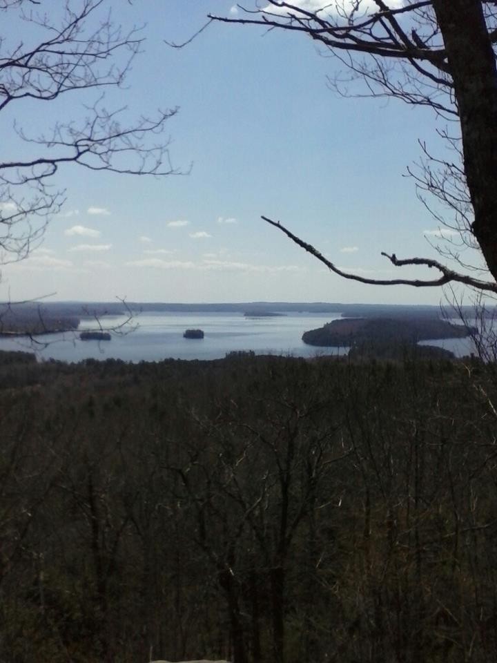
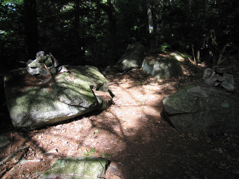
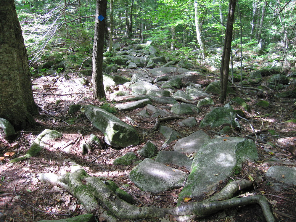
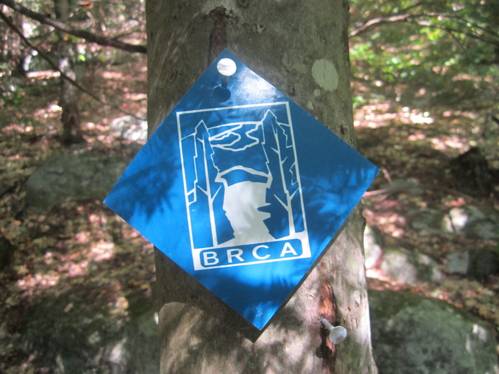
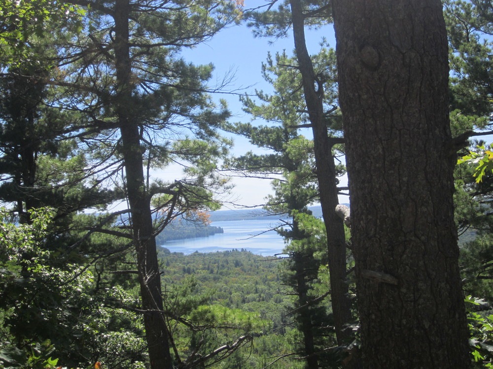
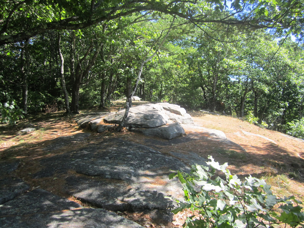
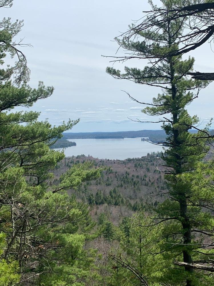
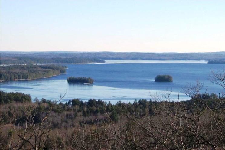
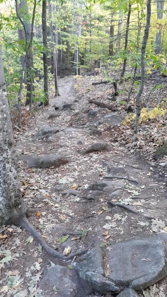
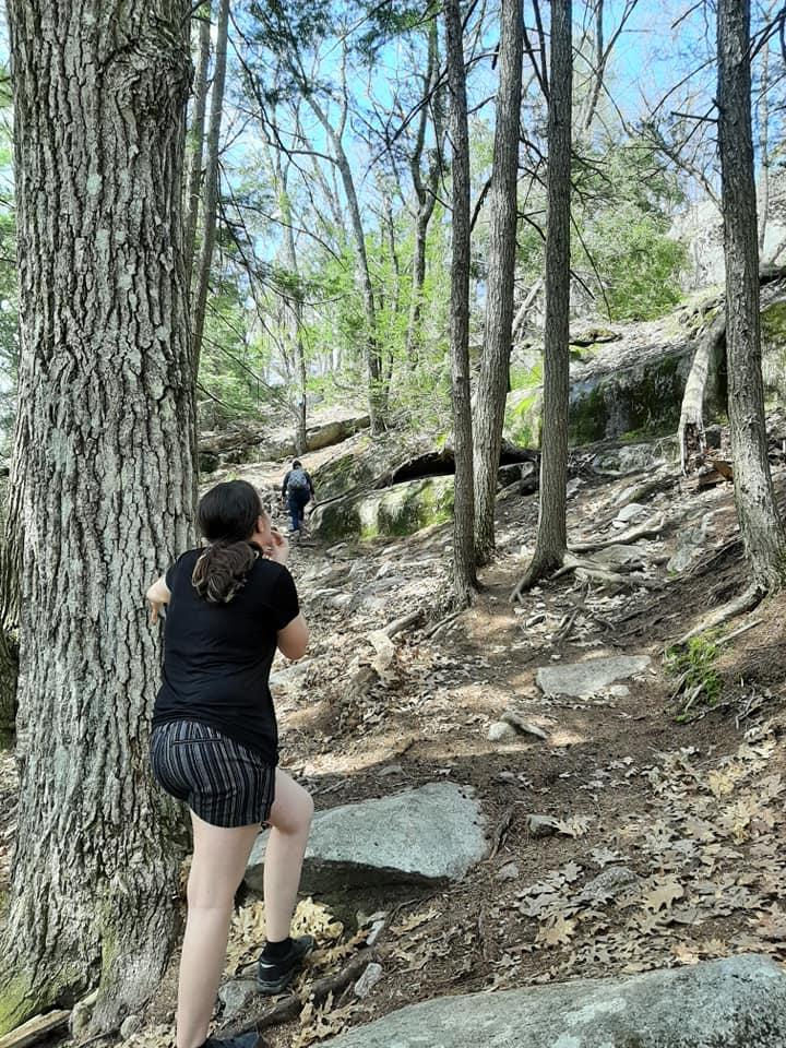
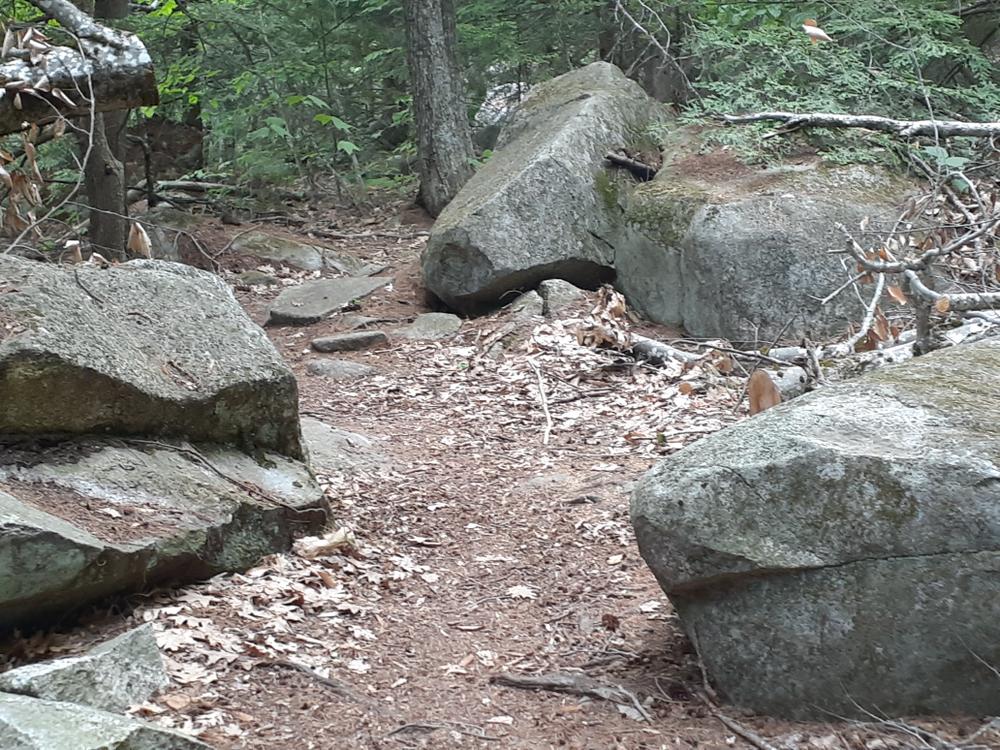
The trail, marked with blue blazes, leaves from the northeast corner of the parking lot heading east and in less than 0.1 miles splits. Bear right to follow the trail counterclockwise. The trail passes though a grove of tall mature pines then heads northwest up Mount Phillip’s eastern slope, gently climbing through a mixed forest of hardwoods and evergreens. It continues up to a rocky ledge on Mount Phillip’s eastern side at 0.6 miles and crosses the ledge westward to a rocky, partial summit clearing (755'). After enjoying views of Great Pond to the south and the Kennebec Highlands to the west, continue the loop trail by descending to the west, then turning in a southerly direction and dropping down into a stand of mature hemlock. Follow the trail back to the junction and the parking lot.
A connector trail links an overflow parking lot with the main Mount Phillip trail. The trail itself is well constructed with foot bridges and rock work on the tread to improve hikers' experience. It is a good way to extend a hike up Mount Phillip or to get to the main trail if the main Mount Phillip Lot is full.
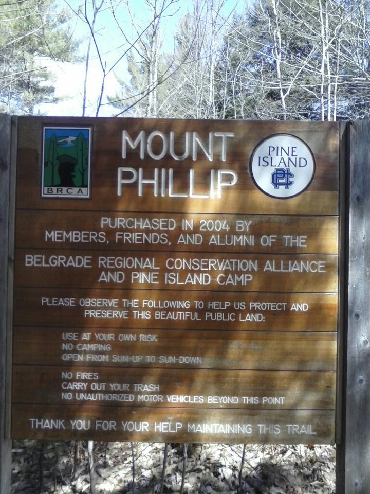
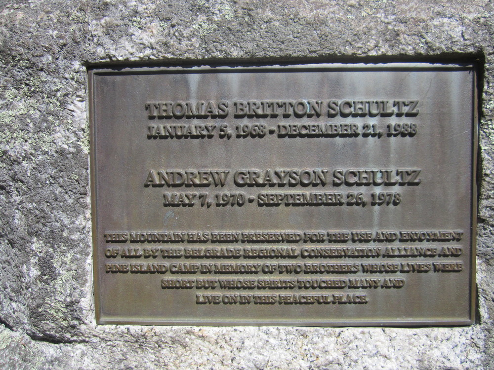
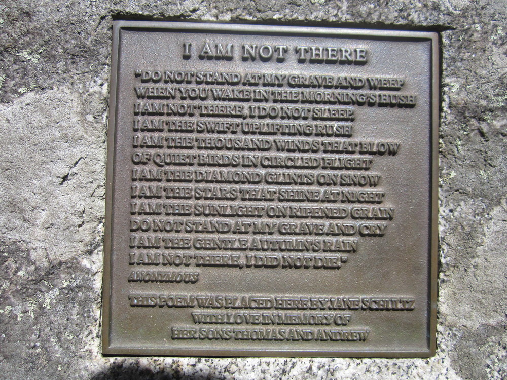
In 2004 Belgrade Regional Conservation Alliance (now the 7 Lakes Alliance), in collaboration with Pine Island Camp, acquired 207 acres on Mount Phillip (755'), including the hiking trail and summit.
Visit 7 Lakes Alliance online for more information or contact:
7 Lakes AllianceThe trailhead and parking lot for the trail are located on the north side of ME-225, directly across from Starbird Lane, 1.5 miles east of the Rome Corner (the junction of ME-27 and ME-225).
There is an overflow parking lot located just a few tenths of a mile west of the main Mount Phillip parking area.
Success! A new password has been emailed to you.