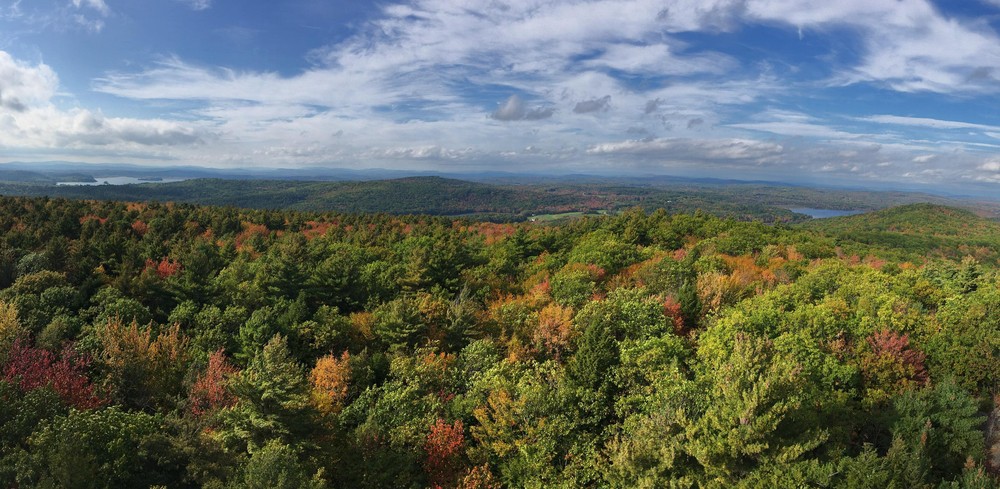
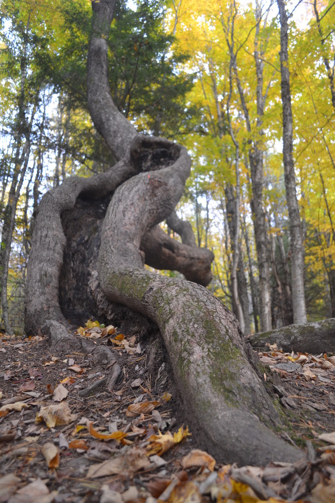
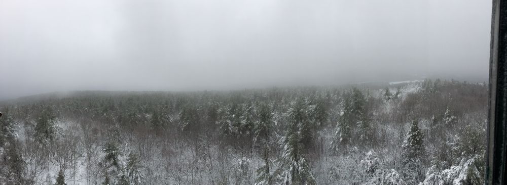
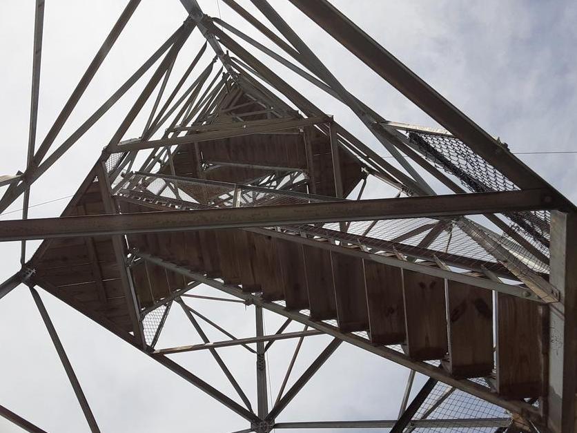
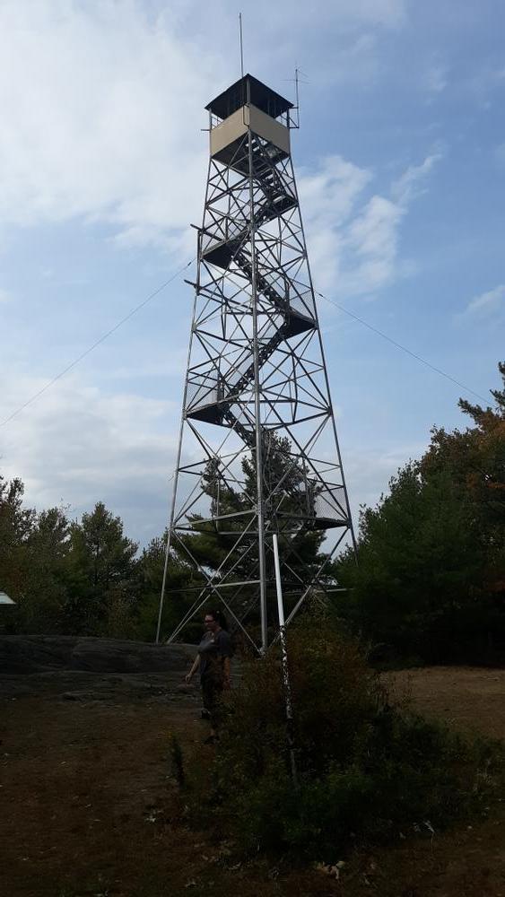
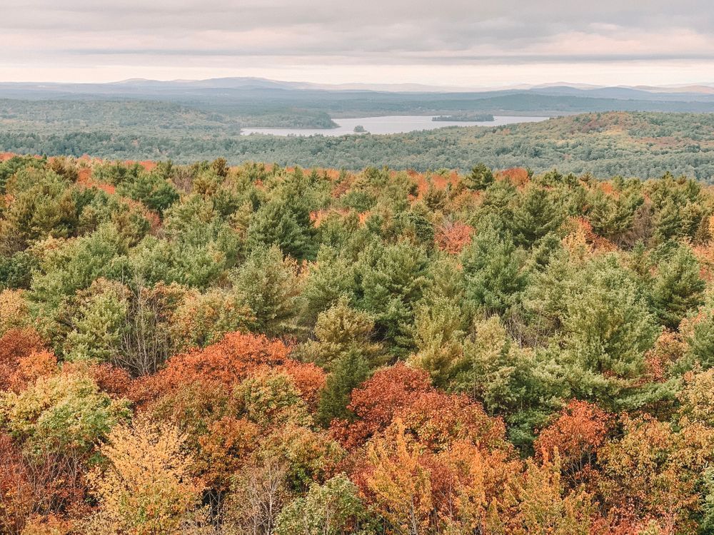
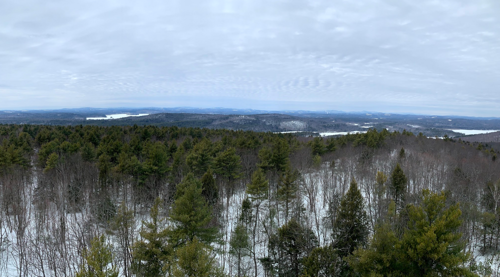
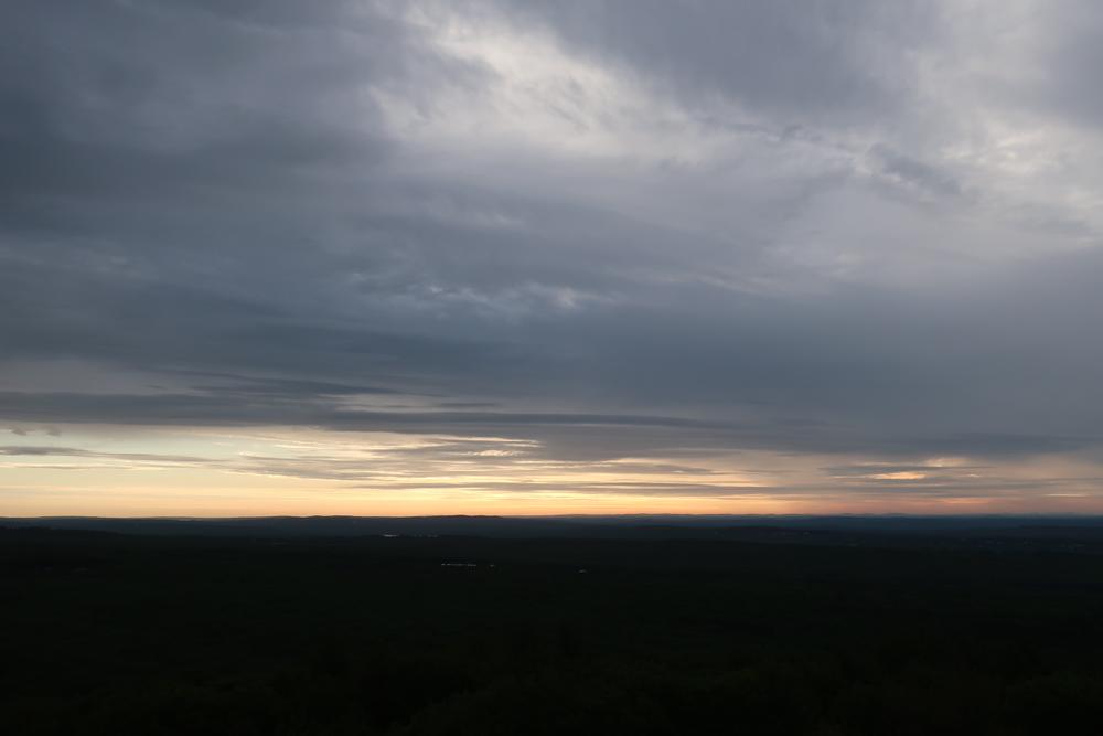
The fire tower allows visitors to view Mt. Washington and the Camden Hills on a clear day. The trails are moderately difficult, including some elevation gain through a conifer-hardwood forest that includes many old sugar maples. The Mount Pisgah Conservation Area contains over 1,000 acres of permanently conserved land, including 94-acre Mount Pisgah Fire Tower property, owned by the Town of Winthrop.
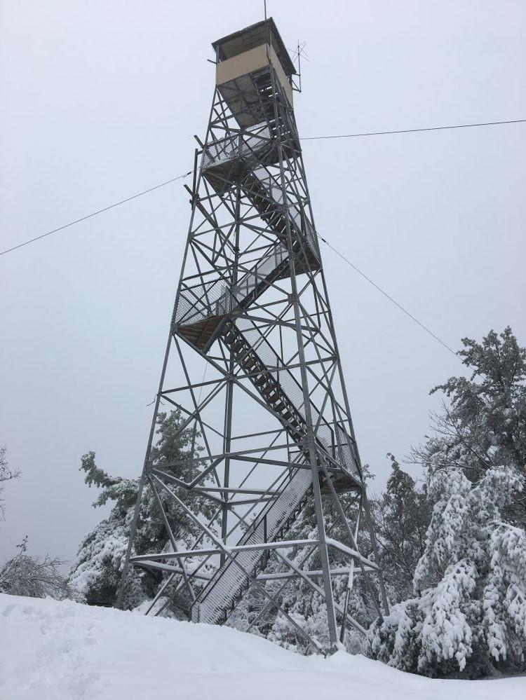
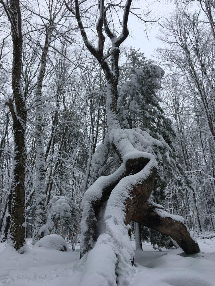
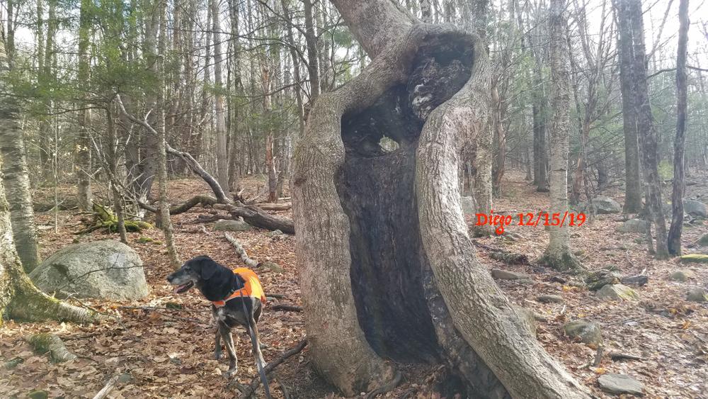
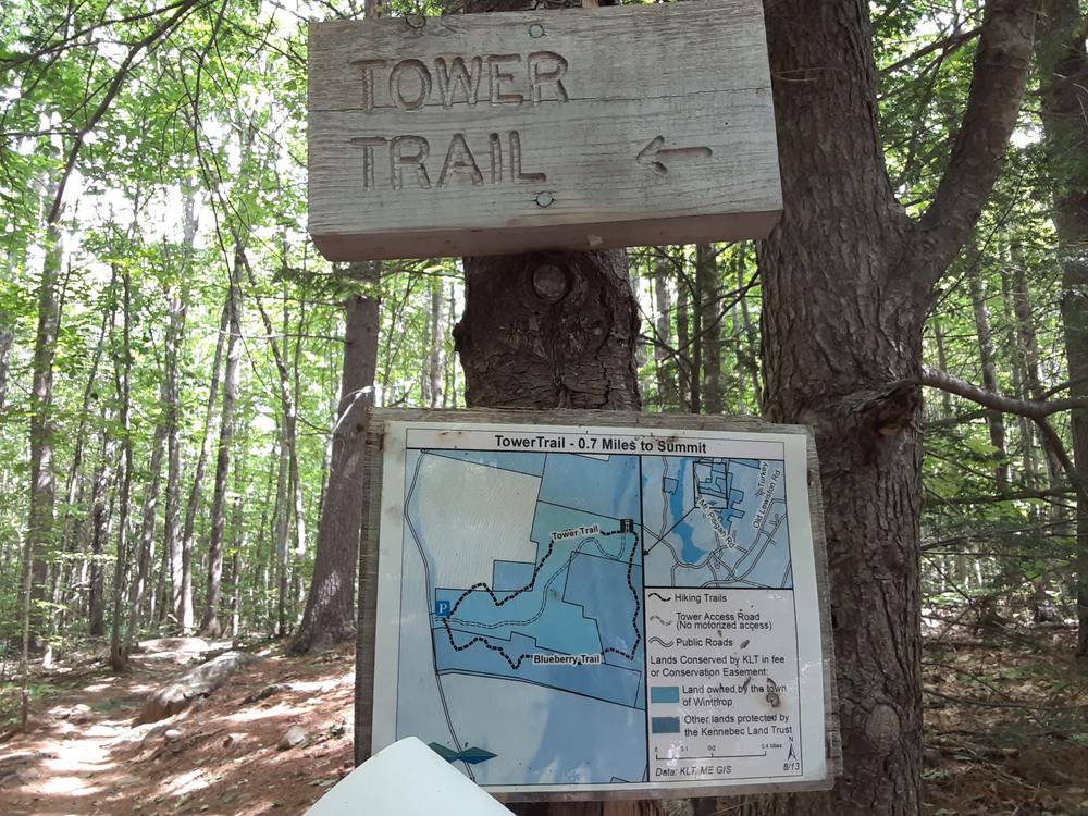
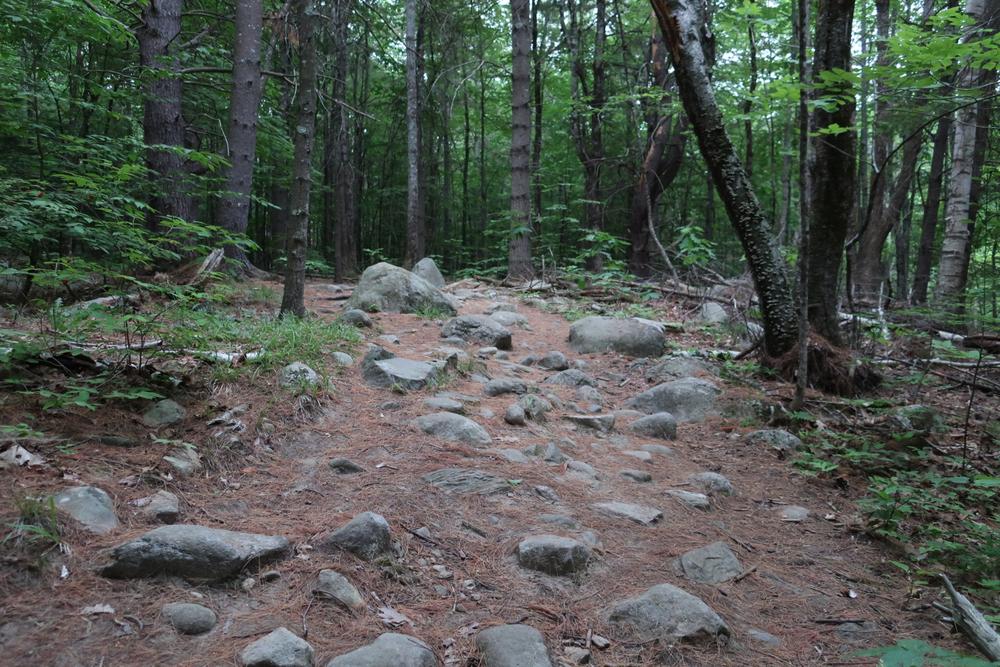
The moderate Tower Trail (0.7 miles) passes by gnarly old sugar maples and climbs to the 60-foot tower, which is open to the public.
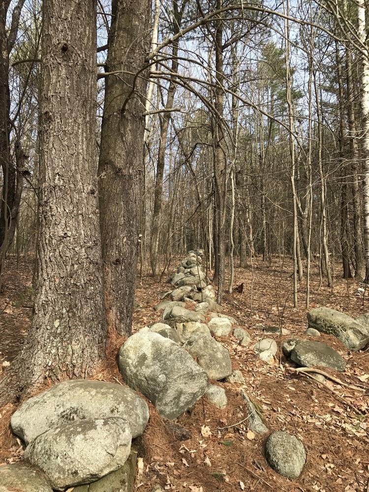
The Blueberry Trail (1.3 miles), on KLT-owned land, features stone walls, former fields now grown up to woodlands, and wintertime views to eastern hills. The trail crosses a small clearing which was used as a seasonal cattle pasture and has been cleared to encourage the growth of wild blueberries.
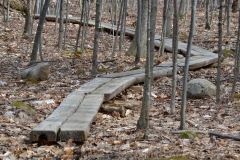
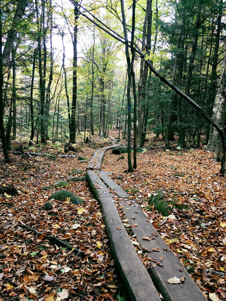
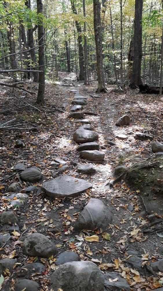
The Ledges Trail (1.4 miles) allows for a longer loop connecting the Tower Trail with the Blueberry Trail on a ridge line north of the summit. The trail winds through a dense forest of hemlock and mixed hardwoods descending to a point at 590 ft on the northern ridgeline of Mt. Pisgah. The trail then heads south and crosses a small stream with impressive ledges to the west of the trail.
Snowmobiles permitted only on clearly-marked trails.
For more information about the land or the trails, visit the Kennebec Land Trust online, or contact:
Kennebec Land TrustFrom ME-133 in Wayne turn south onto Fairbanks Road. At the end, turn left onto the Mt. Pisgah Road. Travel south about 1.7 miles – the parking lot is on the left.
From ME-202, turn onto North Main Street and go into North Monmouth. After about 0.7 miles, turn right on New Road, which becomes Mt. Pisgah Road. Continue for approximately 1.6 miles – the parking lot is on the right.
"No Parking" restrictions are in place alongside the roadway to help with crowding and traffic/road safety. DO NOT park on abutting property of the neighbors or block access to their property.
Success! A new password has been emailed to you.