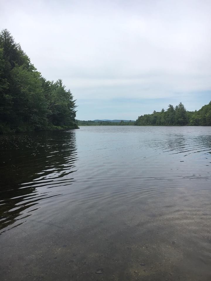
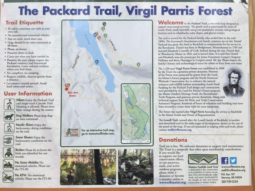
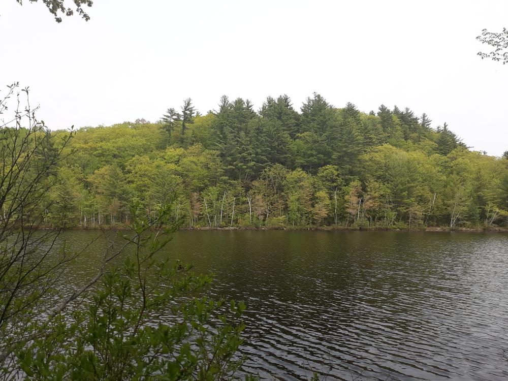
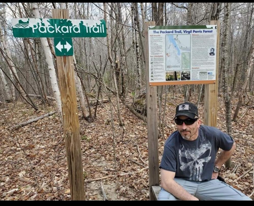
The Packard Trail is a 2-mile trail network designed to support year round activities such as hiking, running, snowshoeing, mountain biking, and wildlife observation. The trail loop rests within approximately 150 acres of the 1,236-acre Virgil Parris Forest property and uses a forested area situated along and above the western shore of the undeveloped and protected 49-acre South Pond. The route is punctuated by innumerable scenic features including views of the pond, several marshes, and North Hill, as well as a dozen or so significant glacial erratics, and small waterfalls along two prominent streams. The trail network offers five short side trails to various scenic points including an historic family cemetery. A 0.5-mile outer loop trail departs the main loop at its southern end offering access to a waterfall on the South Pond outlet and birdwatching in the marsh.
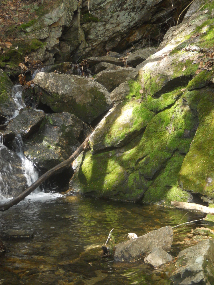
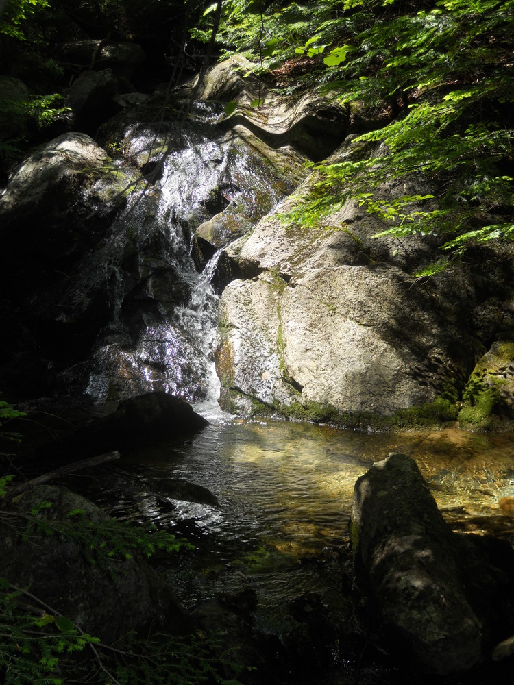
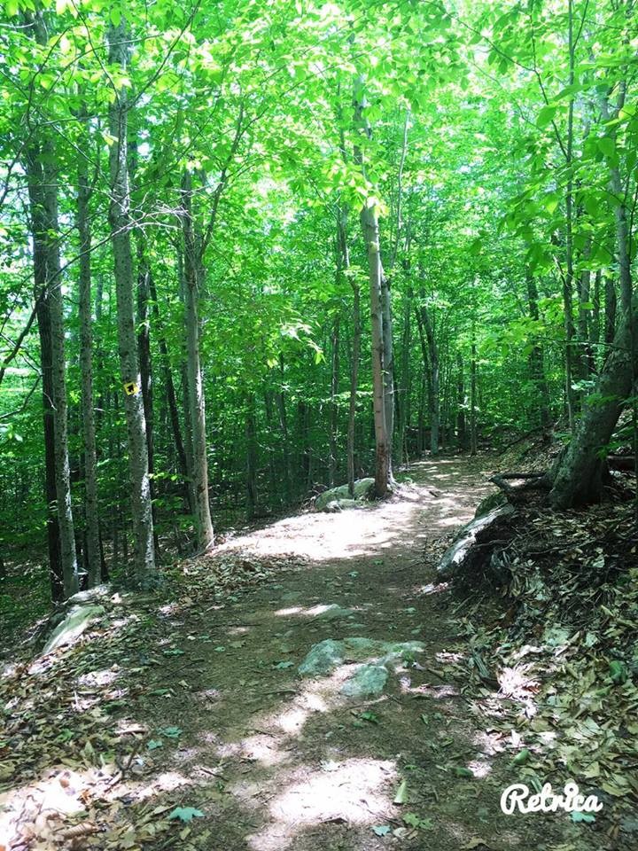
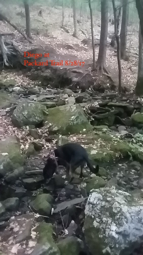
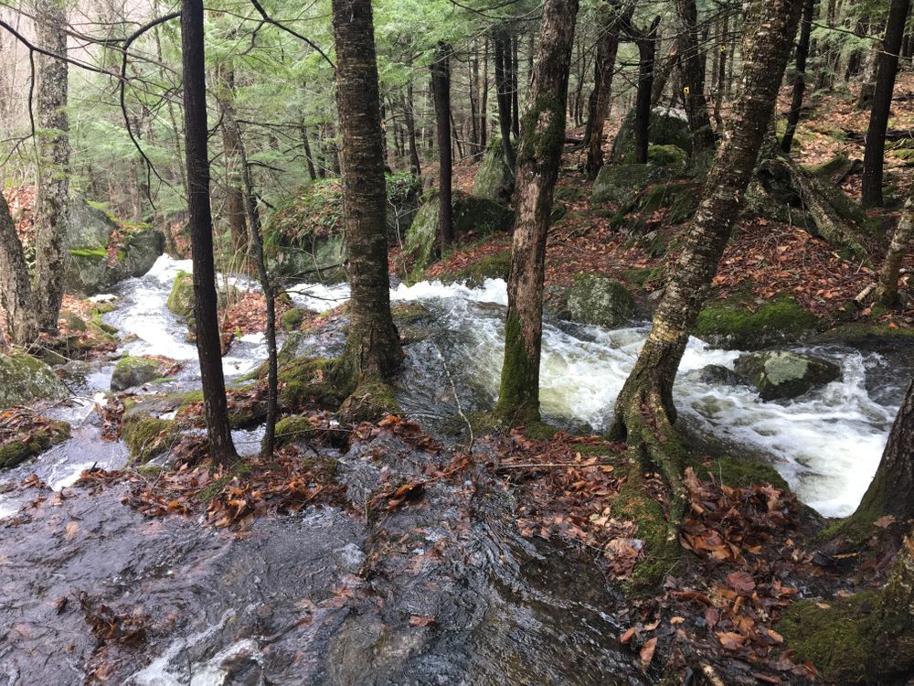
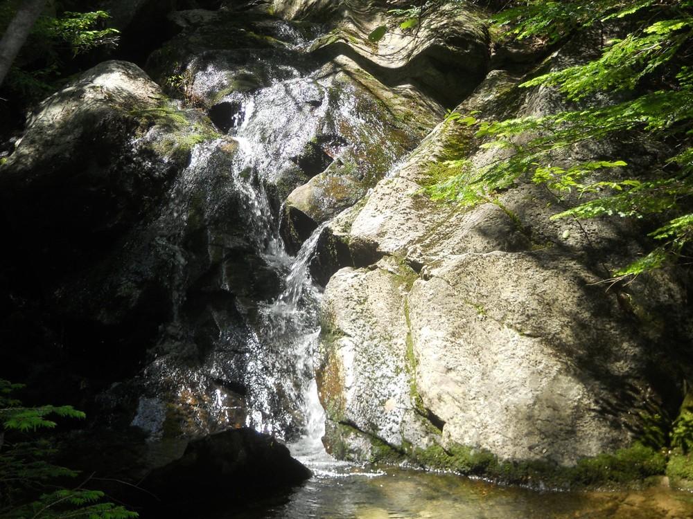
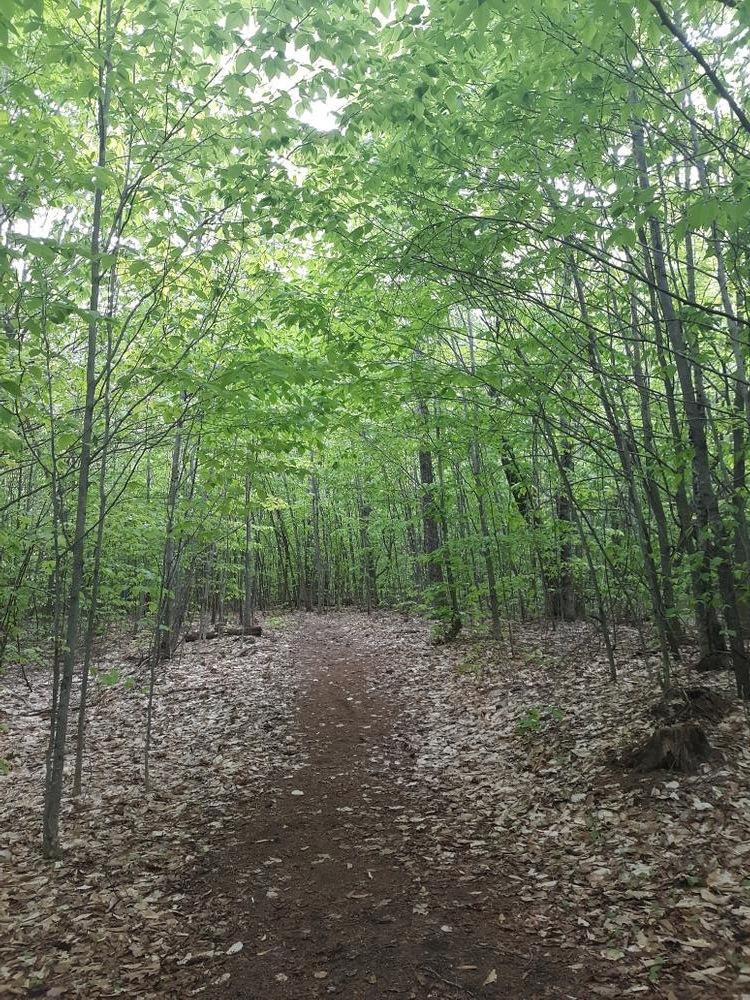
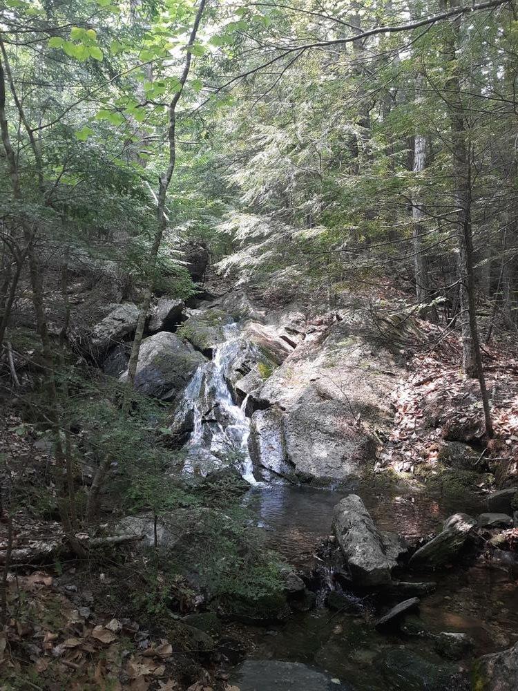
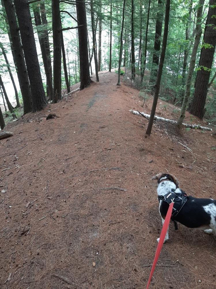
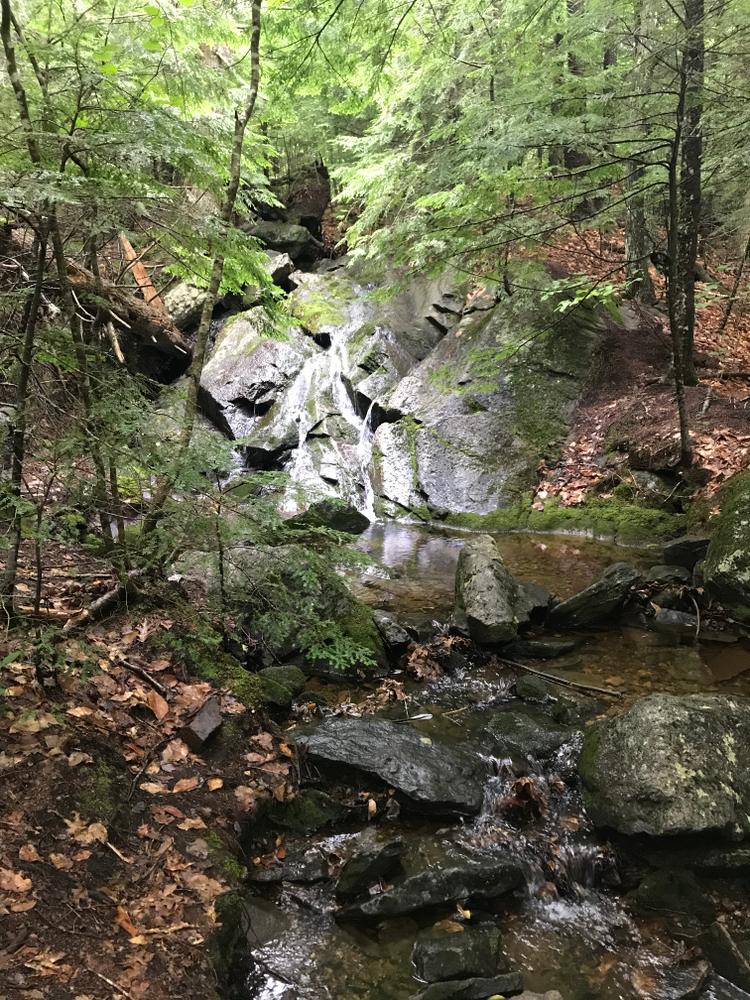
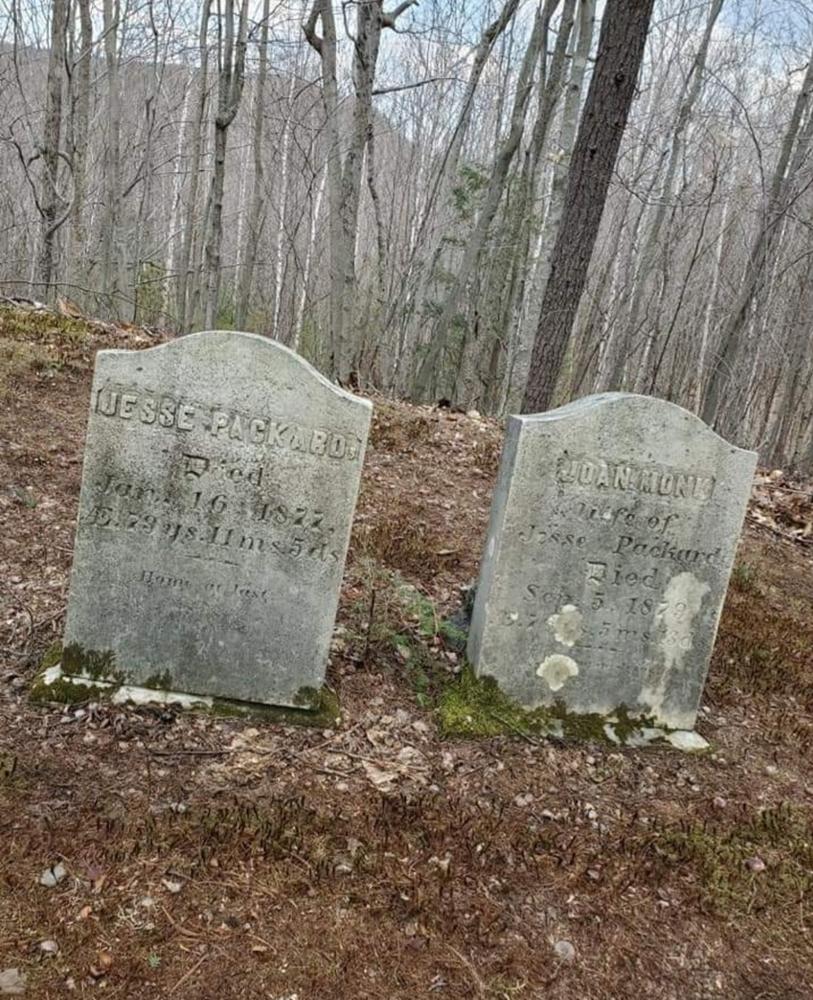
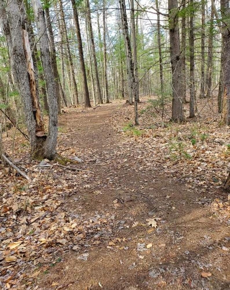
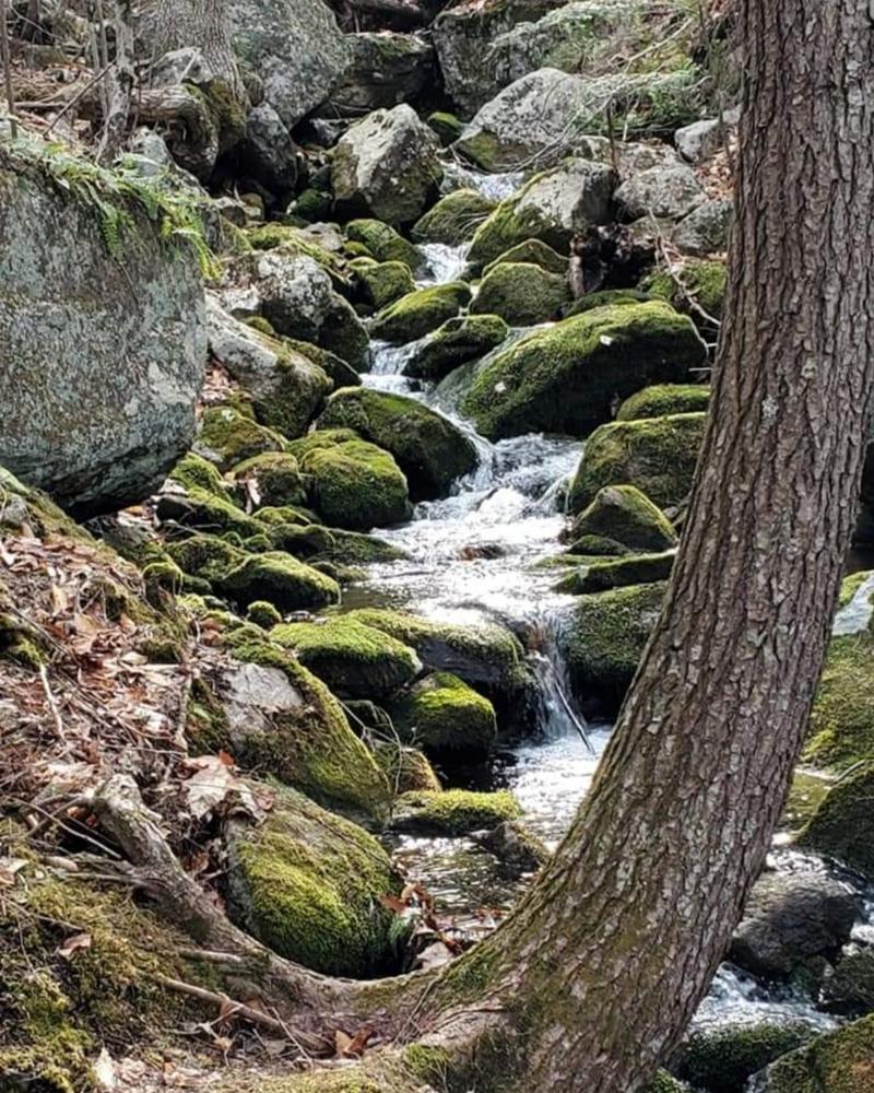
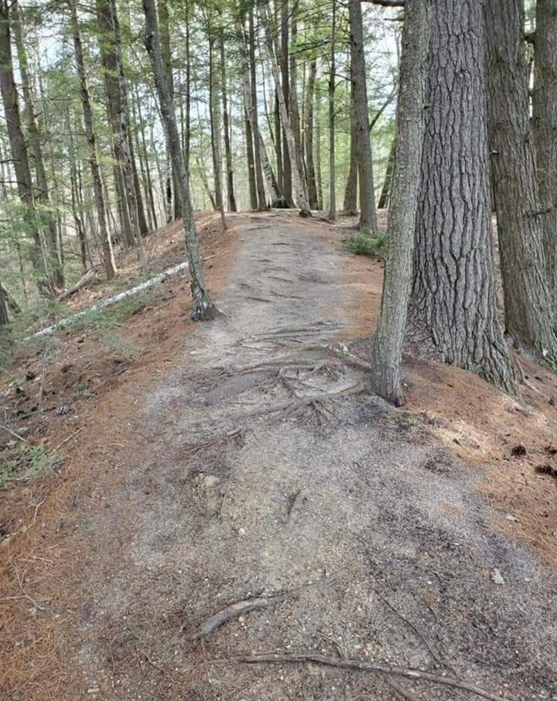
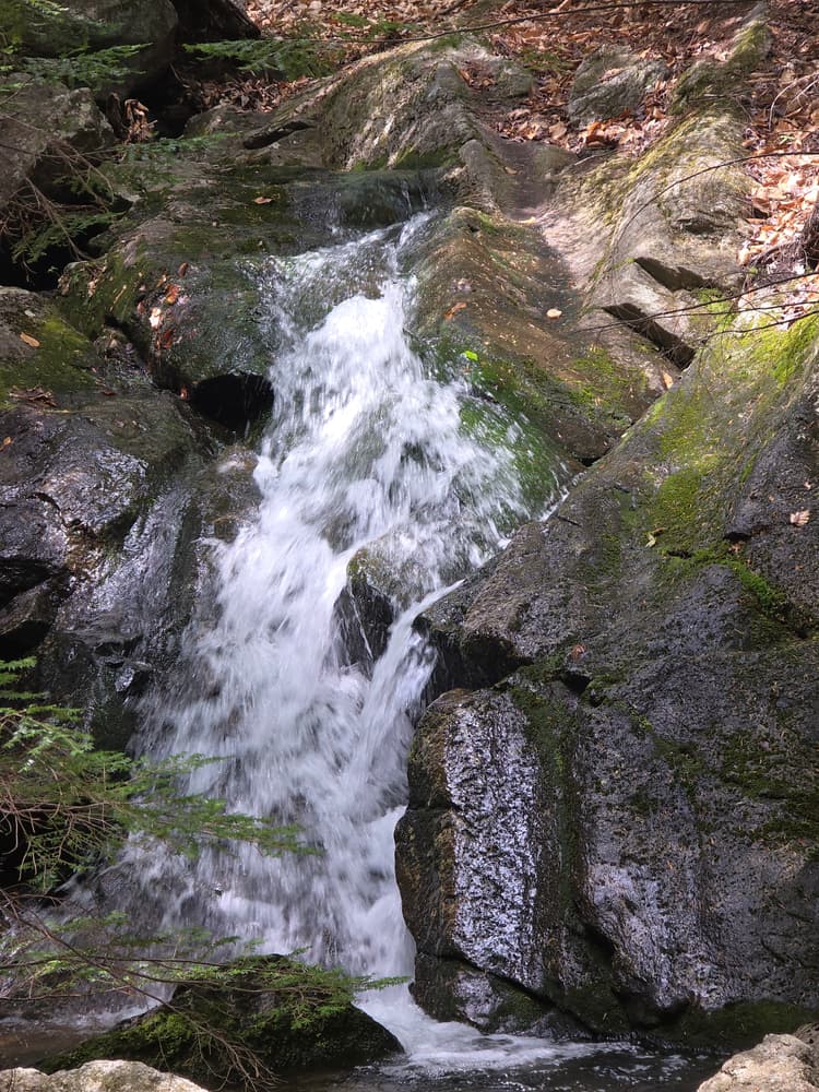
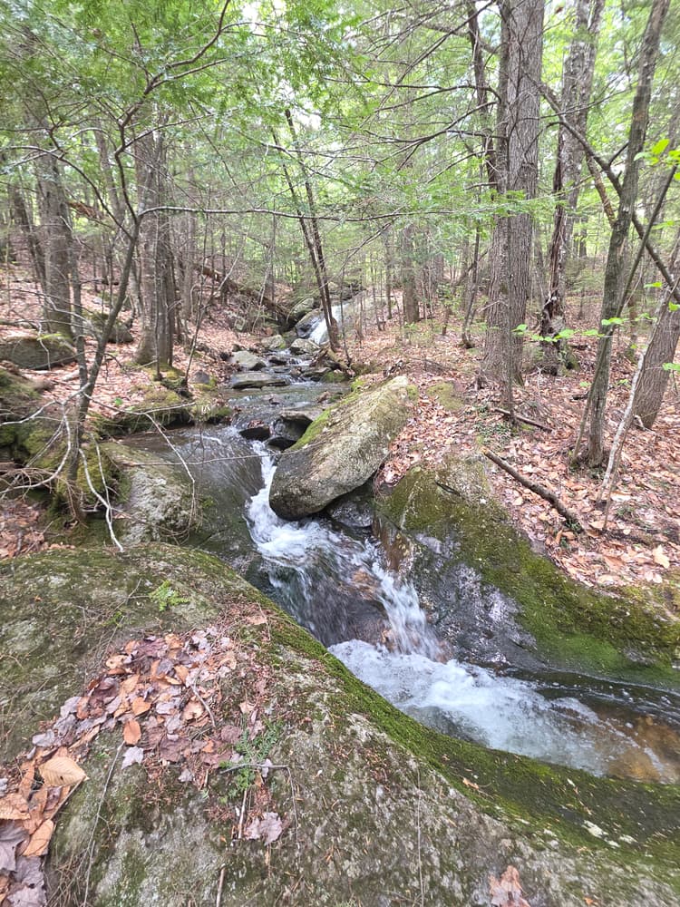
The 2-mile loop trail has a mechanically prepared tread surface with a width of about four feet, which allows two people to walk abreast. The overall grades of the trail are kept to a minimum, offering gently rolling hills that are suitable for the very young as well as the elderly. The trail begins at the parking area, and after 100 feet, forks to the north and south. Following the trail to the north, it winds past several stone foundations, and a short side trail to the right leads to Packard Cemetery. The loop trail continues by skirting below the cemetery and in about a quarter of a mile, a very short spur trail will lead to view the first of two significant streams. The main trail turns away from the stream, and passes over the top of a rocky knoll to begin a series of switchback turns. At the bottom of the hill, another spur trail on the left leads to a scenic waterfall bordered by low cliff bands.
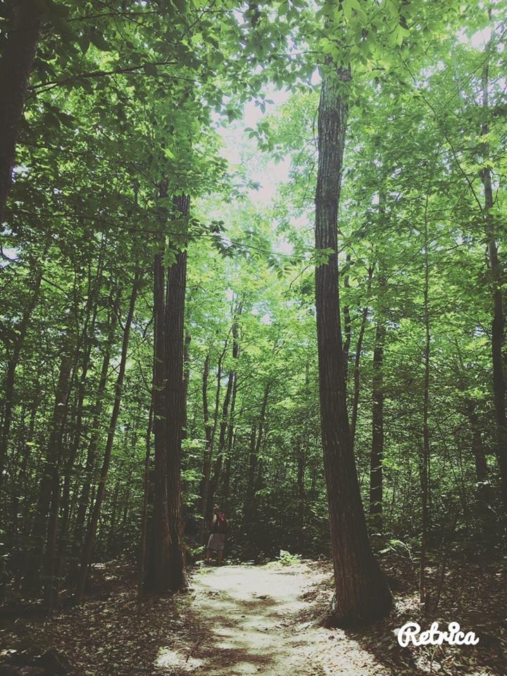
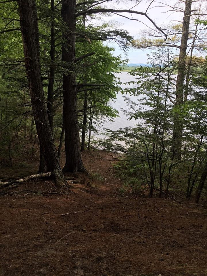
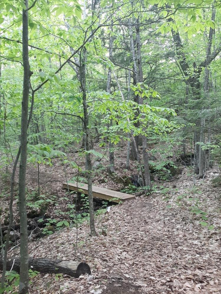
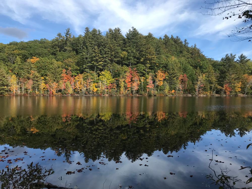
The trail continues along the stream, and as the land begins to gradually form into a small esker, red and white pines become the predominant forest. The ridge ends on a prominent point on South Pond and offers clear views of the pond and North Hill. The trail works along and above the shore, but turns back from the pond to maintain moderate grades in descending and climbing a second esker. Here more scenic views of the pond are had. The trail again turns away from the pond, passing over a bridge on a small stream, then climbing to the largest of the three eskers. Here the red and white pine forest is open and the views of the pond are expansive. The trail dips down to follow the shoreline for a short stretch before turning and heading uphill away from the pond, over the tops of two smaller eskers.
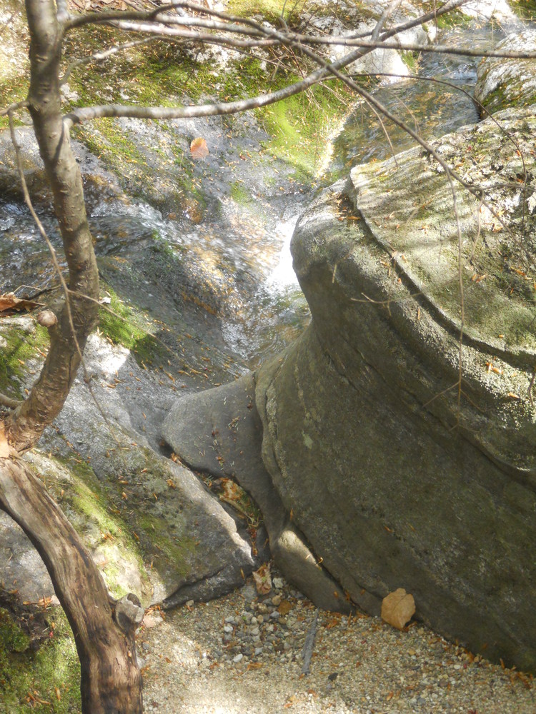
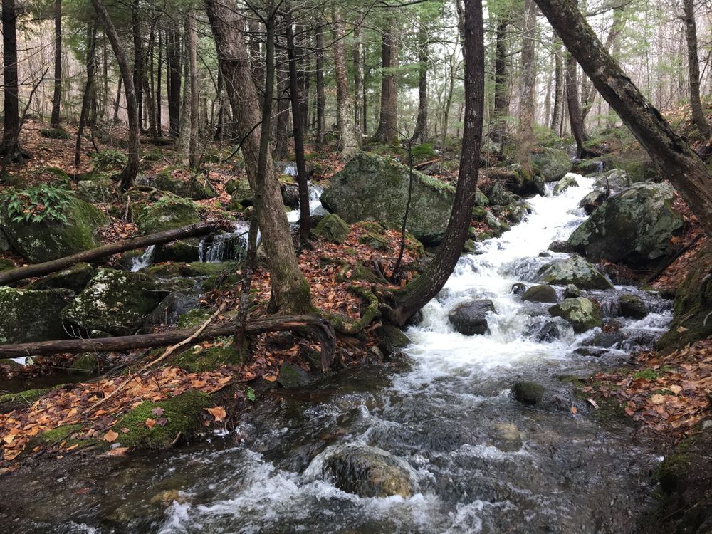
Here, the outer loop trail leads left to the marsh and offers beautiful views and birding opportunities. The outer loop continues on to a significant waterfall on a stream bordered by impressive glacial erratics before rejoining the main loop at its southern extent. Past the first junction, the main loop trail crosses a small stream and starts a gradual climb. It winds through hardwood forests dominated by red oaks and is dotted with numerous hefty boulders. Near the high point, the outer loop trail rejoins from the left. The main trail at this junction continues gradually climbing, taking the trail user past more large boulders while winding through a maple and oak forest. The route passes over two streams and then rejoins the access trail near the parking area.

This trail passes through a property that was acquired in part with funds from the Land for Maine’s Future program. For more information about the LMF program and the places it has helped to protect, please visit the LMF webpage.
Visit Western Foothills Land Trust online for more information and a printable map or contact:
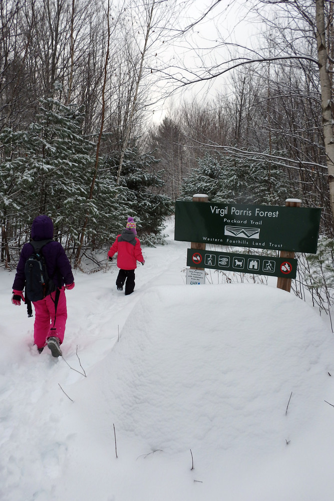
Western Foothills Land TrustThe modest parking area and trailhead are located 1.2 miles south of ME-117 on the east side of the Sodom Road, which is maintained by the town in the winter.
Note: When driving east from South Paris on ME-117, after crossing over Streaked Mountain, drivers should slow down as soon as Frechette's shop is in view. The right turn onto the Sodom Road is very sharp.
Address: 352 Sodom Road, Buckfield
Success! A new password has been emailed to you.