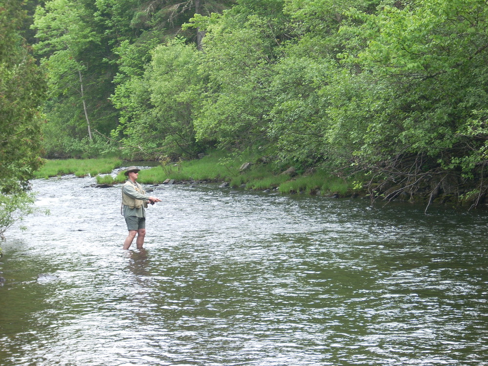
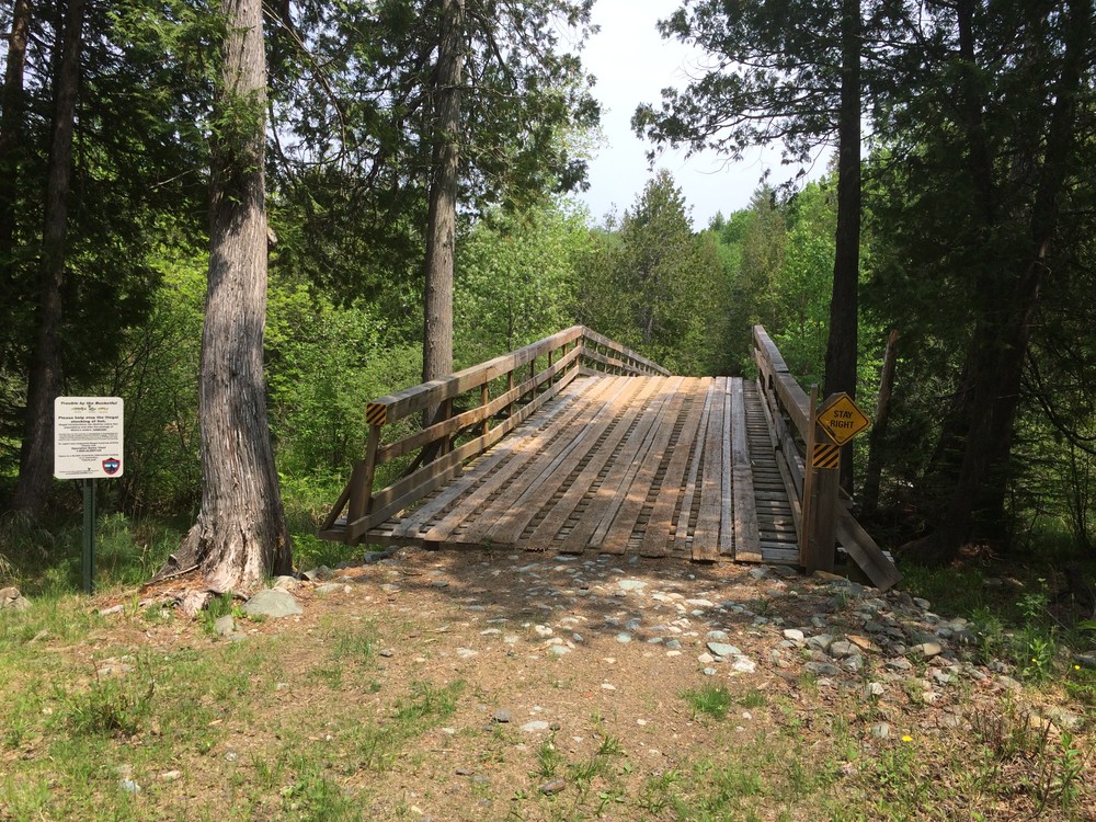
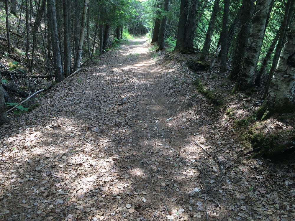
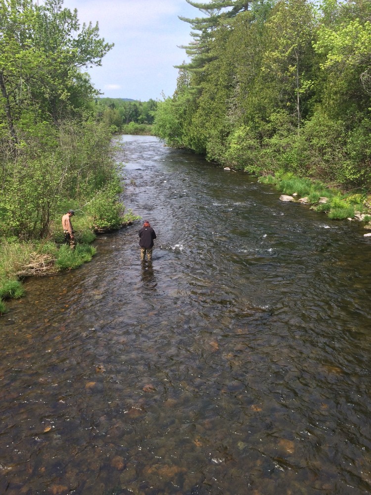
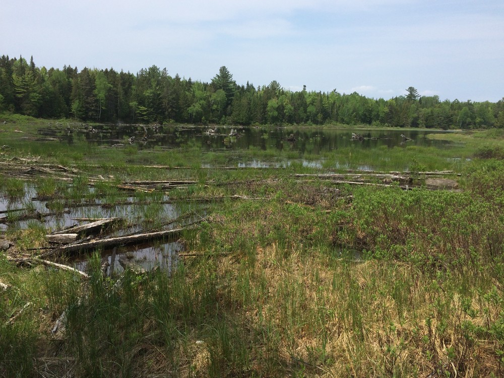
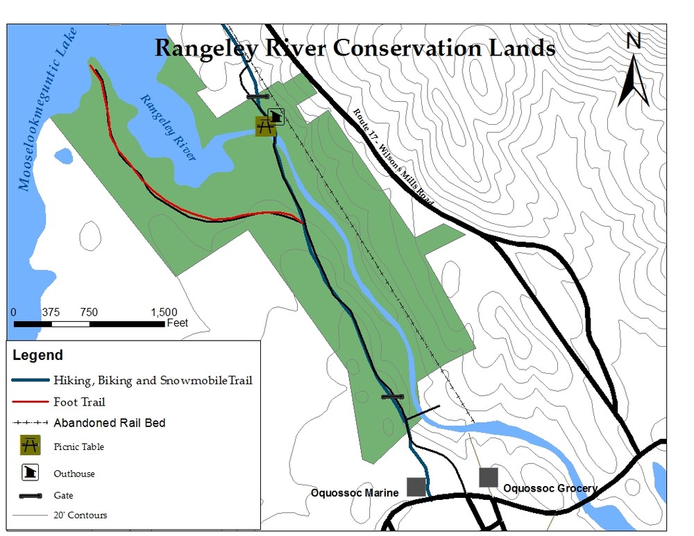
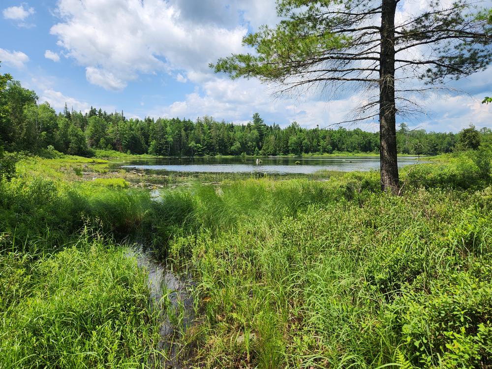
This short section of shared-use trail provides access to the shores of the Rangeley River and Mooselookmeguntic Lake for hikers, anglers, bikers and snowmobilers. Two stream-side picnic tables and a 0.5-mile side trail to the lake allow trail users to explore the Rangeley River area at their own pace. After crossing the river at its northern terminus, visitors can venture down the narrow gauge railroad bed which runs across the steep opposite bank of the river.
Find out more about how accessible this trail is to wheelchair users on Enock's Adventures.
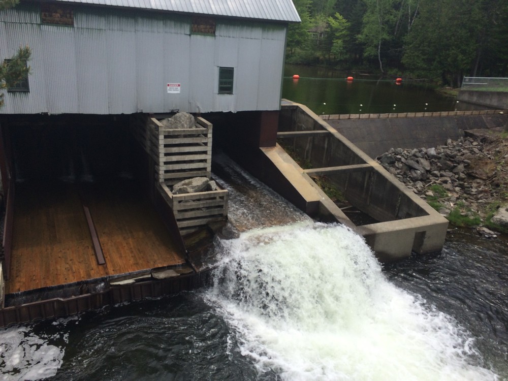
Rangeley Lakes Heritage Trust purchased this 150-acre property from Union Water Power Company in 1995. Prior to this, the Union Water Power owned the property for more than a century after buying it in 1878 from Squire Rangeley, the Town’s namesake. Squire Rangeley built the dam in 1836 to power his gristmill. Situated within the Upper Androscoggin River Watershed, the Rangeley Dam is still used today to control the water level in Rangeley Lake.
The old rail bed that runs through the property was part of a section of the Maine Central Railroad.
The property has a long history of recreational use, including fishing, hunting, and biking. The popular ITS-84 snowmobile trail runs through this property and connects riders to the Village of Oquossoc.

This trail passes through a property that was acquired in part with funds from the Land for Maine’s Future program. For more information about the LMF program and the places it has helped to protect, please visit the LMF webpage.
For more information and a print map, please visit RLHT's website, or contact:
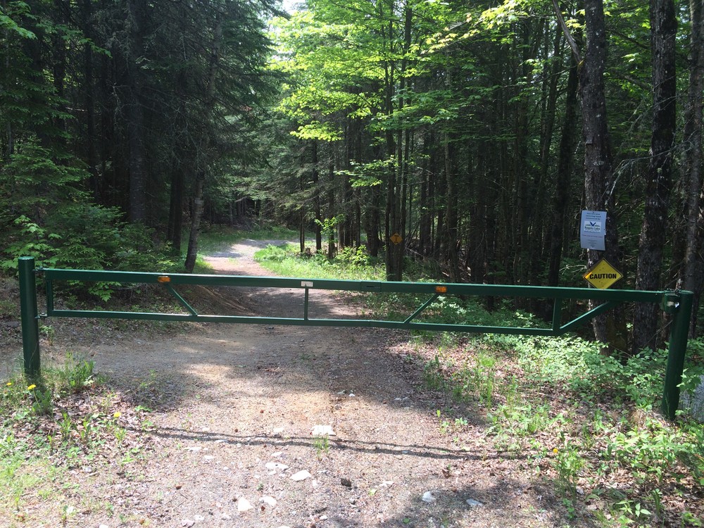
Rangeley Lakes Heritage TrustThe Rangeley River Trailhead is located on Hatchery Road 0.2 miles behind (north of) the Oquossoc Grocery in Oquossoc, Maine. Park in the lot on the left side of the road and walk past the gate which blocks automobile access to the hiking, biking and snowmobile trail.
The trail may also be accessed from its northern end. Travel north on ME-16 for 1.1 miles past its junction with ME-4 in Oquossoc. Turn left onto a gravel road and bear left past the gravel pit on the right. Park in the small dirt lot before the gate 0.2 miles from ME-16.
Success! A new password has been emailed to you.