White Mountain National Forest - Albany Mountain Trail

This is the print view for this trail. View the full trail posting.

This trail leads to the summit of Albany Mountain, a series of rocky openings with panoramic views. It is a popular spot for blueberry picking in the summer and offers great views of colorful foliage in the fall.
Trail Activity
Snowshoeing Hiking
Length
1.90 miles, Network
Difficulty
Moderate
Towns
Albany Twp, Mason Twp, Stoneham
Surface
Dirt/Forest Floor, Rock/Ledge
Pets
Permitted
Fees
No

Description

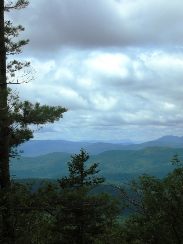
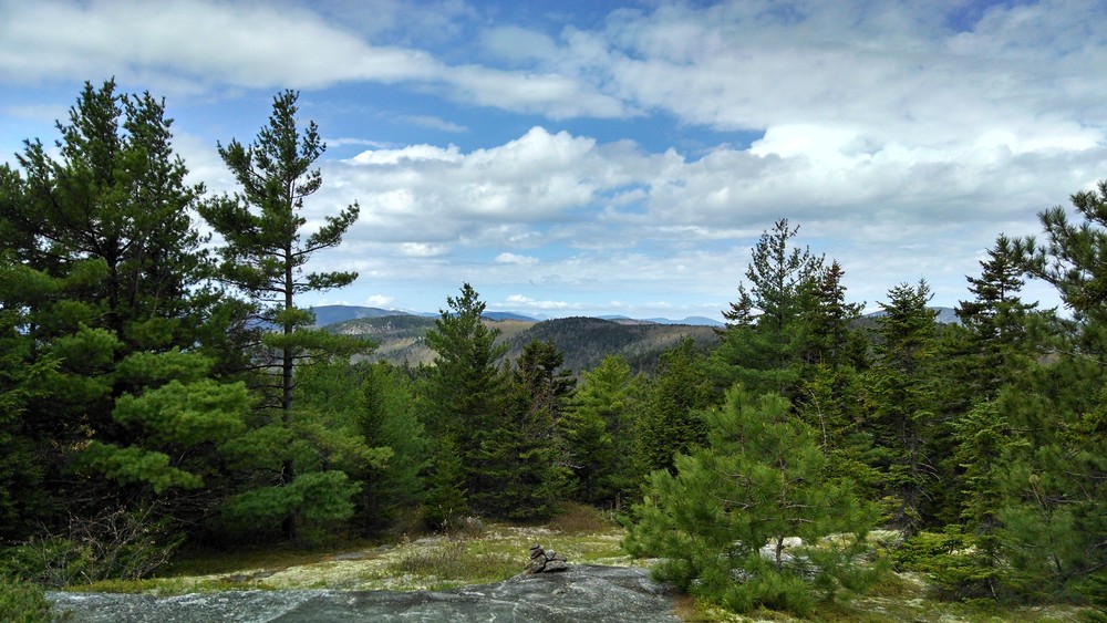
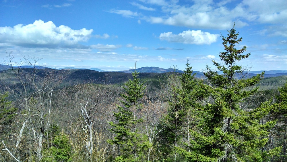
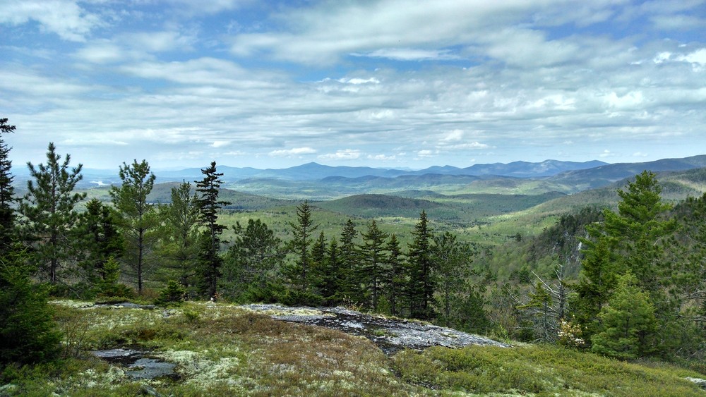
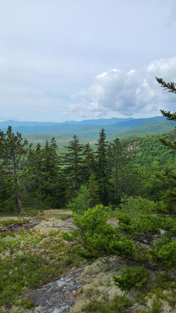
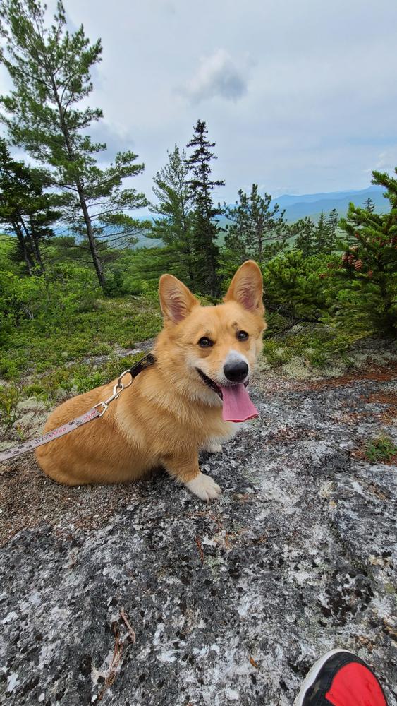
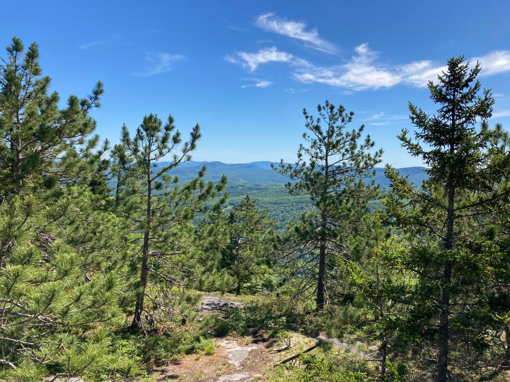
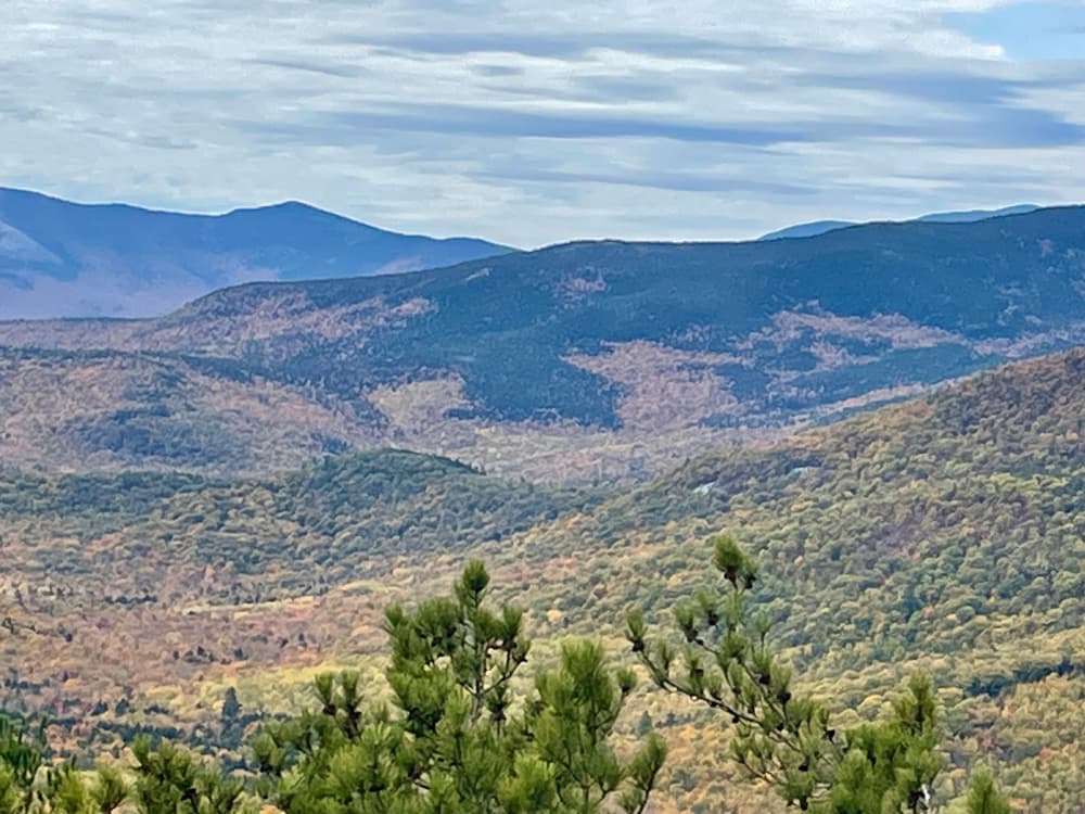
This trail provides access to the summit of Albany Mountain, an open summit that affords panoramic views in all directions with the best being to the south and east. Many lakes and ponds are visible and this particular view point is recommended for fine fall foliage viewing opportunities.

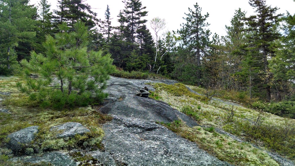
Begin on the Albany Notch Trail, turning left onto the Albany Mountain Trail at 0.6 miles. It is not recommended to follow the Albany Notch Trail past the Junction with the Albany Mountain Trail at this time as beaver activity has made the trail impassable. The Albany Mountain Trail follows and crosses several old logging roads as it ascends the north side of the mountain. Close to the summit, the trail begins crossing sections of open ledge and softwoods to the summit with it's wide open views. The distance from the Albany Notch Trailhead on Crocker Pond Road is 2.0 miles.

Other Information

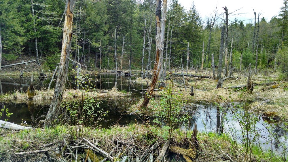
Beaver activity has caused flooding of the trail some years. Currently the trail is dry and passable as the beavers have moved on elsewhere.

This trail shares the trail with the Albany Notch Trail which continues for another 3.4 miles after they split.

Trail Manager

Visit the White Mountain National Forest online for more information or contact:

White Mountain National Forest
300 Glen Road
Gorham, NH 03581
Phone: (603) 466-2713
tpellerin@fs.fed.us
View website

Nearby Events

VIEW EVENTS CALENDAR

Trail Tips

Minimize Campfire Impacts
Use only small pieces of dead and down wood for campfires and let them burn down to ash. Please extinguish your campfire before leaving.

Trailhead Information

From Bethel take ME Route 5 south past Songo Pond and turn right onto the Patte Brook Road at the sign indicating National Forest Camping. Follow signs toward Crocker Pond Campground turning left onto Forest Road 18 (Crocker Pond Road). Travel 0.6 miles on Forest Road 18 to the trailhead on the right.

Legend
Hide All
Join In on the Fun!
Log in or create an account below to unlock all the great features of Maine trail finder: keep track of trails you want to do, preserve memories of trails you’ve done, earn badges, and more!
Your log in attempt was not successful. Please try again.
    Lost your password? Reset your password
    Don't yet have an account?
    There was an issue with your submission. Please try again.
      * Indicates required field
      Already have an account? Login here
      Enter your username, and we will send you a new, randomly generated password to your email account.
      There was an issue with your submission. Please try again.

        Success! A new password has been emailed to you.

        Log in now

        Please wait…