Enock, Outdoor Accessibility Specialist, ventures way down east to conclude his trip to eastern Maine, and checks out an in-town trail along the St. Croix River in Calais.
Hey fellow hikers! My last stop on my trip downeast was to check out the Calais Walkway. I had never been to Calais, and other than it being a long drive to get there, I found it to be an awesome historical town.
When it comes to the walkway I definitely saved the best for last. WOW! What a fantastic trail. The MTF description doesn’t do it justice but it does accurately describe the trail itself.
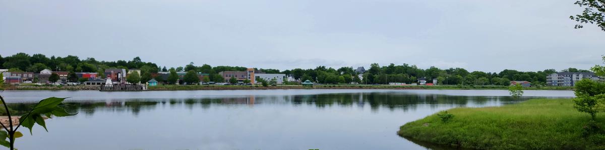
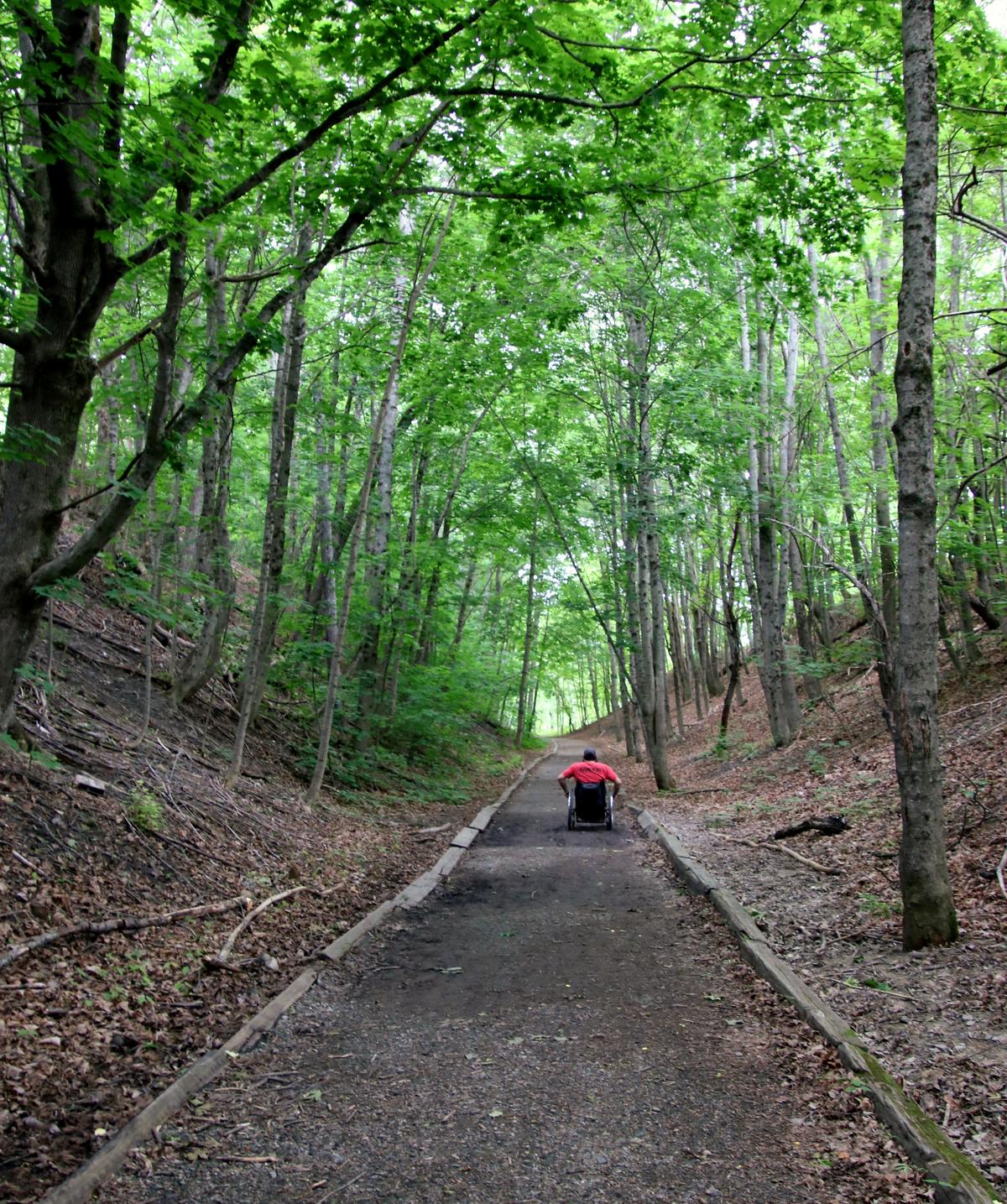
The Calais Waterfront Walkway is a one and half mile trail following the route of the former Maine Central Line to the heart of downtown Calais, Maine. The railroad right of way has been transformed into a spectacular promenade, which follows the St. Croix River from the Library at Pikes Park to Todd Street and to South Street. This is the original bed of the Calais Railway (Chartered 1832), the first charter issued by the State of Maine. The Walkway's gravel surface is about 6 feet wide and of a mostly level grade, making it accessible to hikers of a wide range of abilities and challenges and wheelchair users.
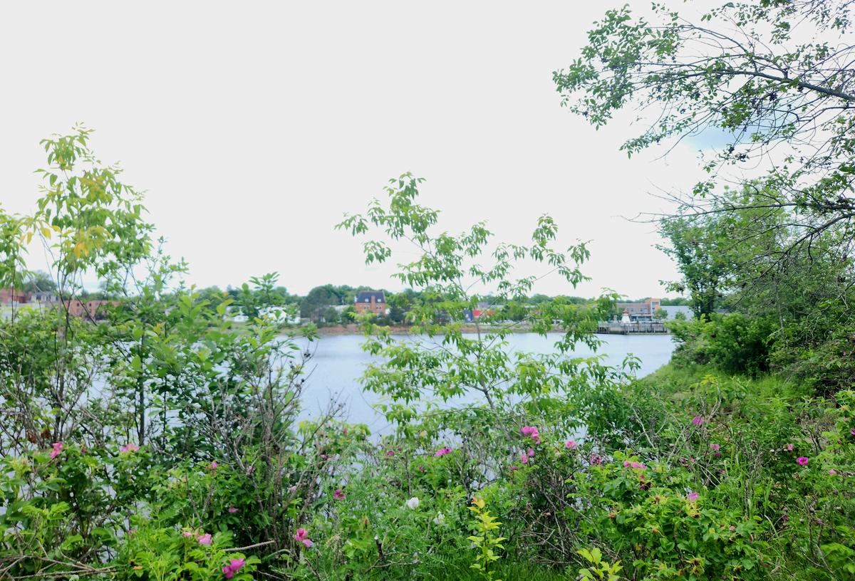
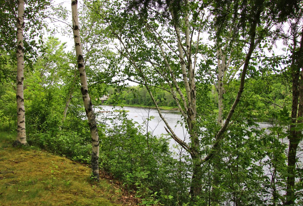
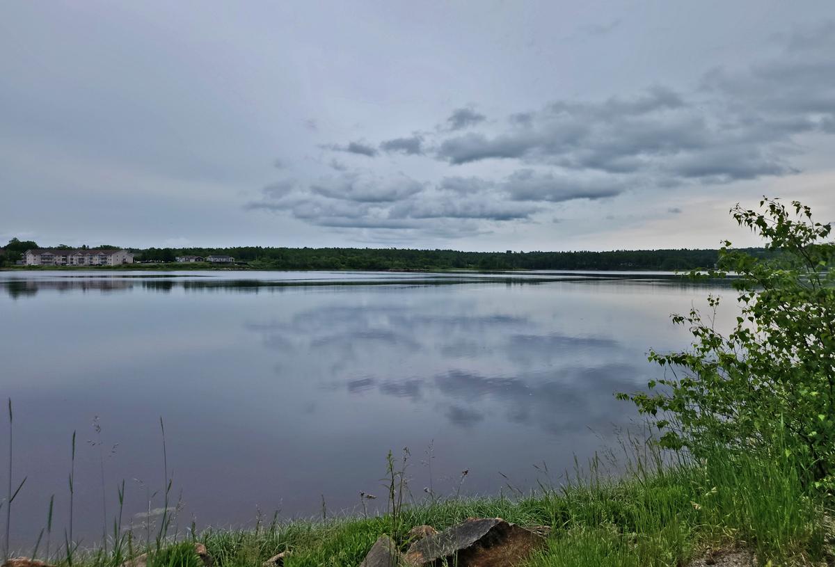
Visitors can enjoy the transition from the bustle of the downtown to the tranquility several hundred feet down the trail after passing through the Main Street underpass. The historic river offers many outstanding vistas along the way. Bald Eagles scan the waters for prey from several perches located only feet from the trail. The opposite shore is St. Stephen, New Brunswick, Canada, where a system of parks and trails is also being developed on the waterfront, and within easy walking distance via the international bridge 100 yards from the Waterfront Walkway.
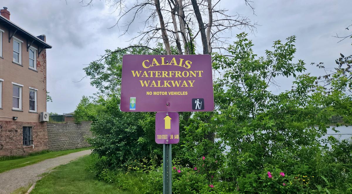
When we first arrived we had some trouble figuring out if we were in the right place. The signage wasn’t very obvious. It took a minute to realize we were starting in the middle of the trail and not at one end of it.
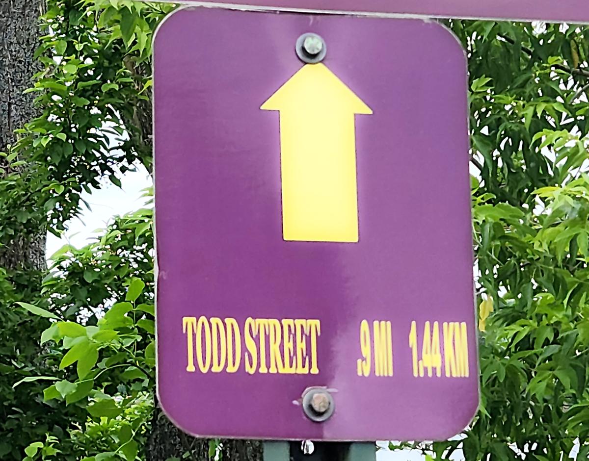
I did love the fact that the sign had the distance to the next street on it. Being so close to Canada, it included the distance in miles and kilometers.
This section of the description is exactly right. This trail is amazing for a wheelchair user.
The Walkway's gravel surface is about 6 feet wide and of a mostly level grade, making it accessible to hikers of a wide range of abilities and challenges and wheelchair users.
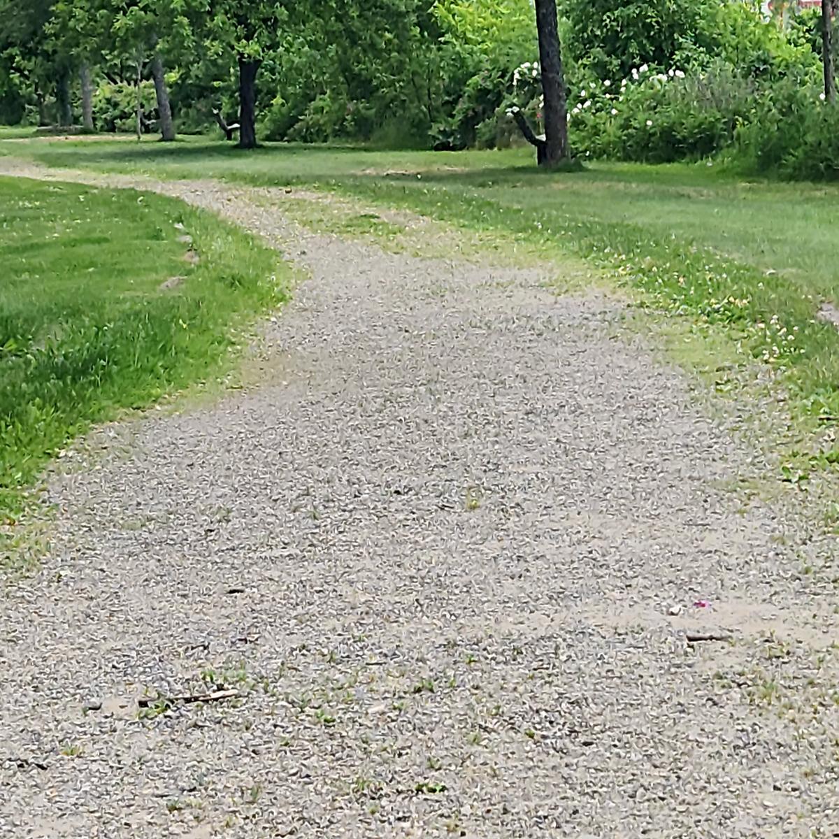
The trail starts out with a more coarse gravel surface.
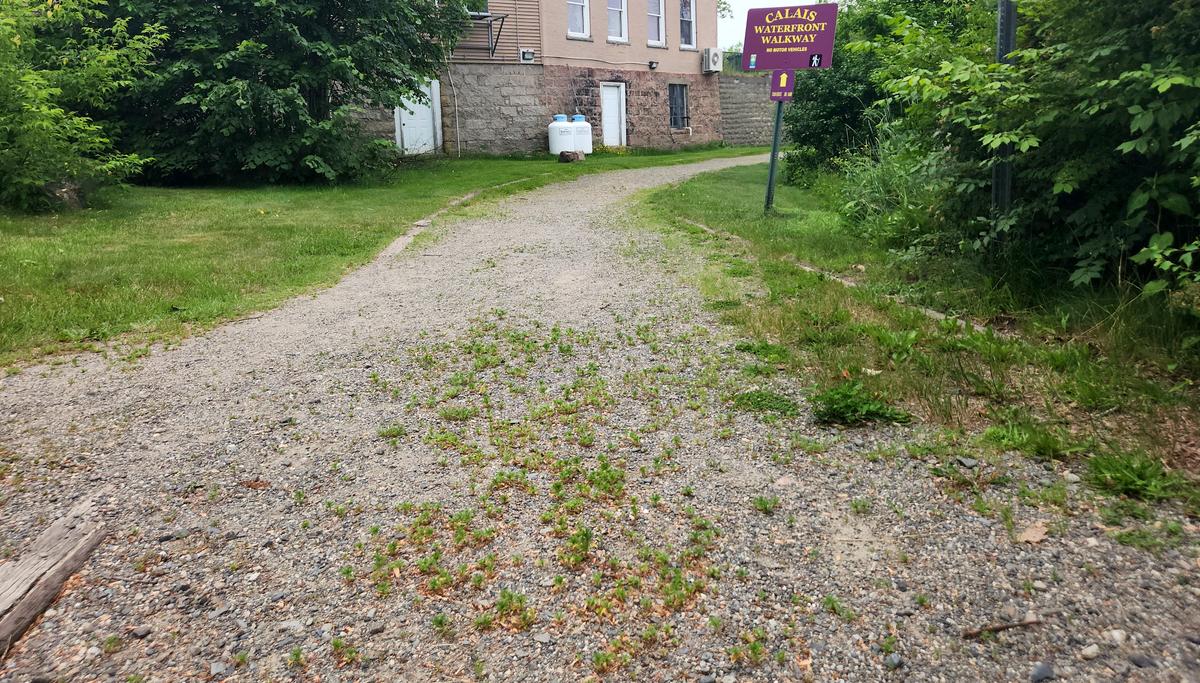
Overall the surface is very flat and firm, with mostly small gravel, and in some sections more like a hard clay surface.
The views along the St. Croix River are extraordinary. (Click image to view full-size.)
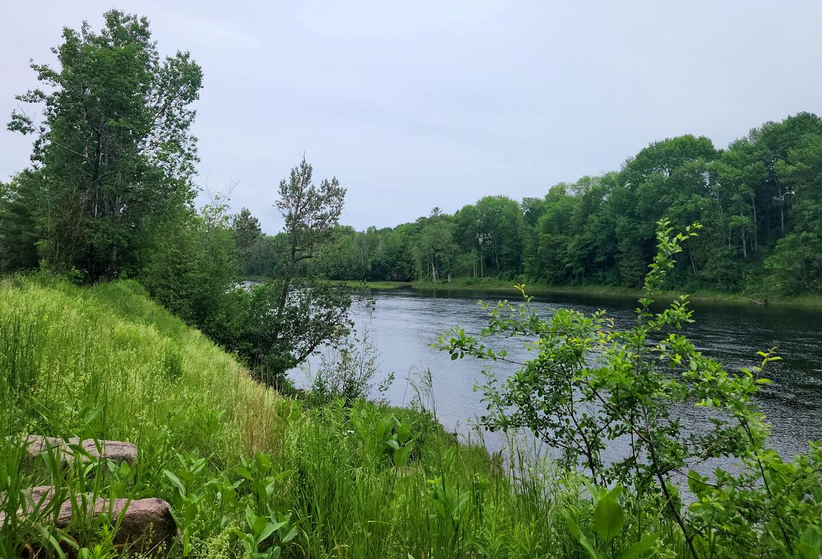
Remember the eagles mentioned in the description? We saw one tree with eight eagles in it!


We came to one are that was actually a little spooky. It was a dark section covered by trees, and there seemed to be an unusual amount of crows lurking above. They kept screeching as we passed through, and even flew alongside for a while.
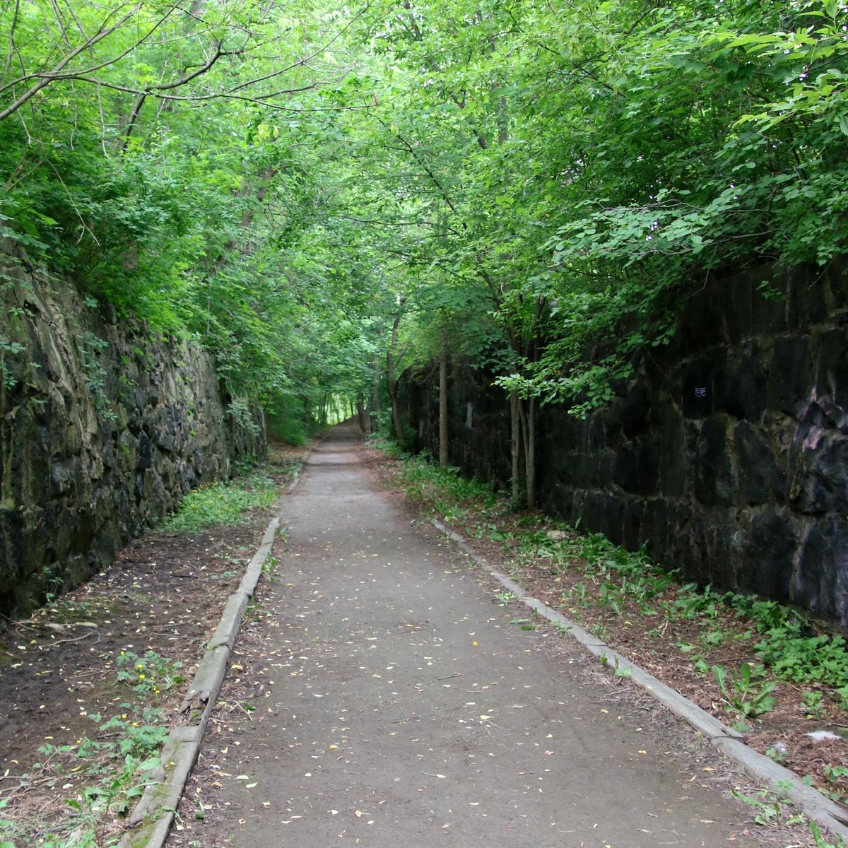
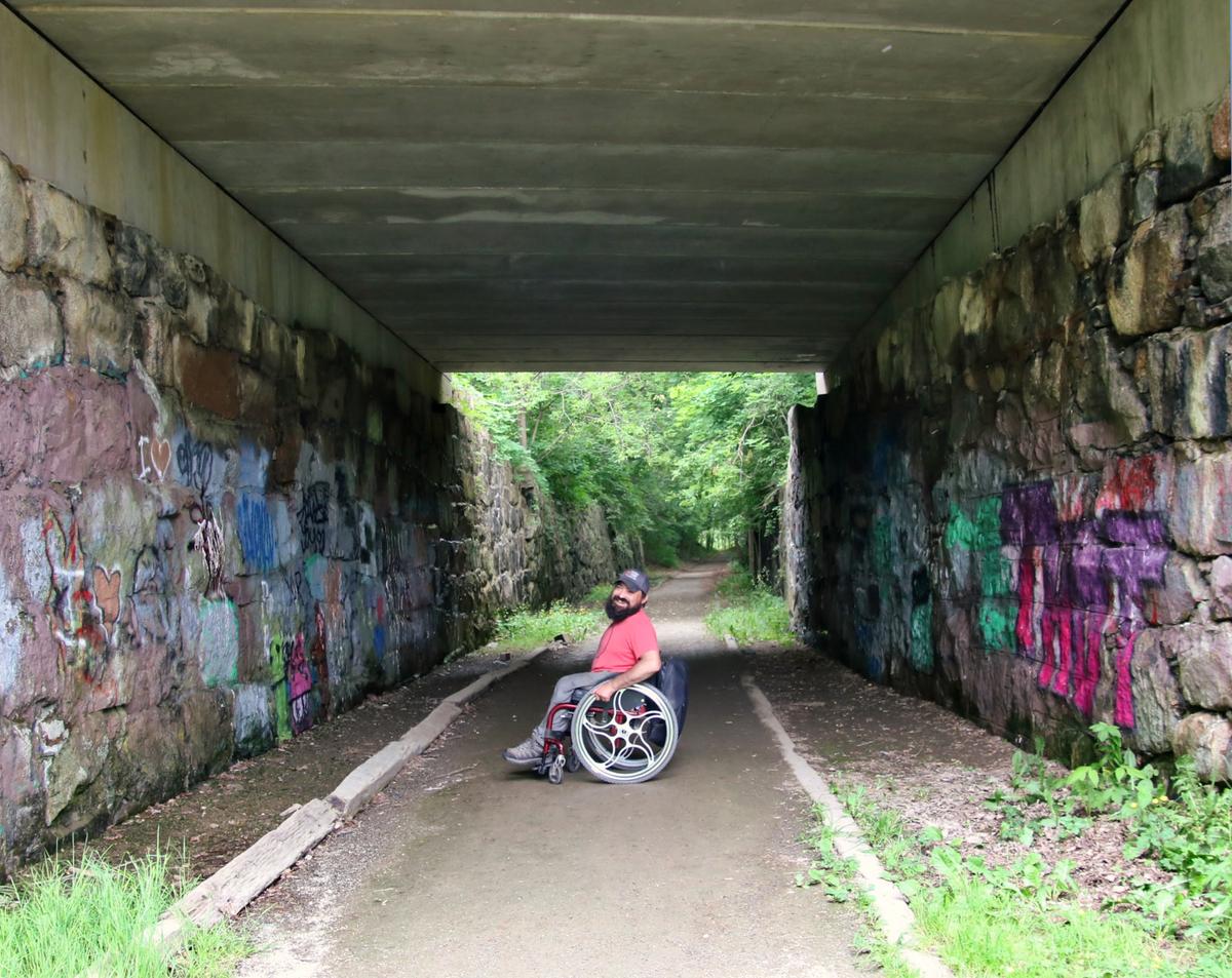
Right before we encountered the crows, there was a really interesting old railroad tunnel with tons of graffiti. You can still see the drill marks in the rock where they harvested it from a quarry.
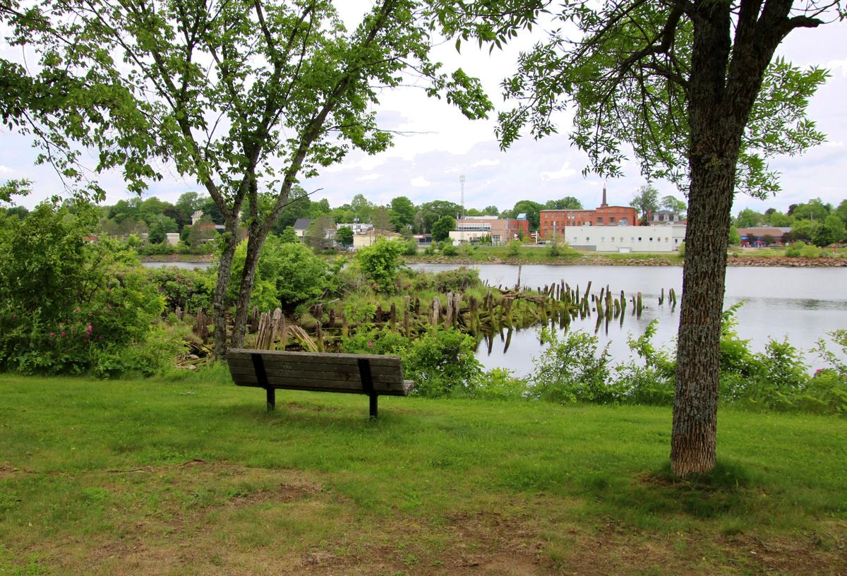
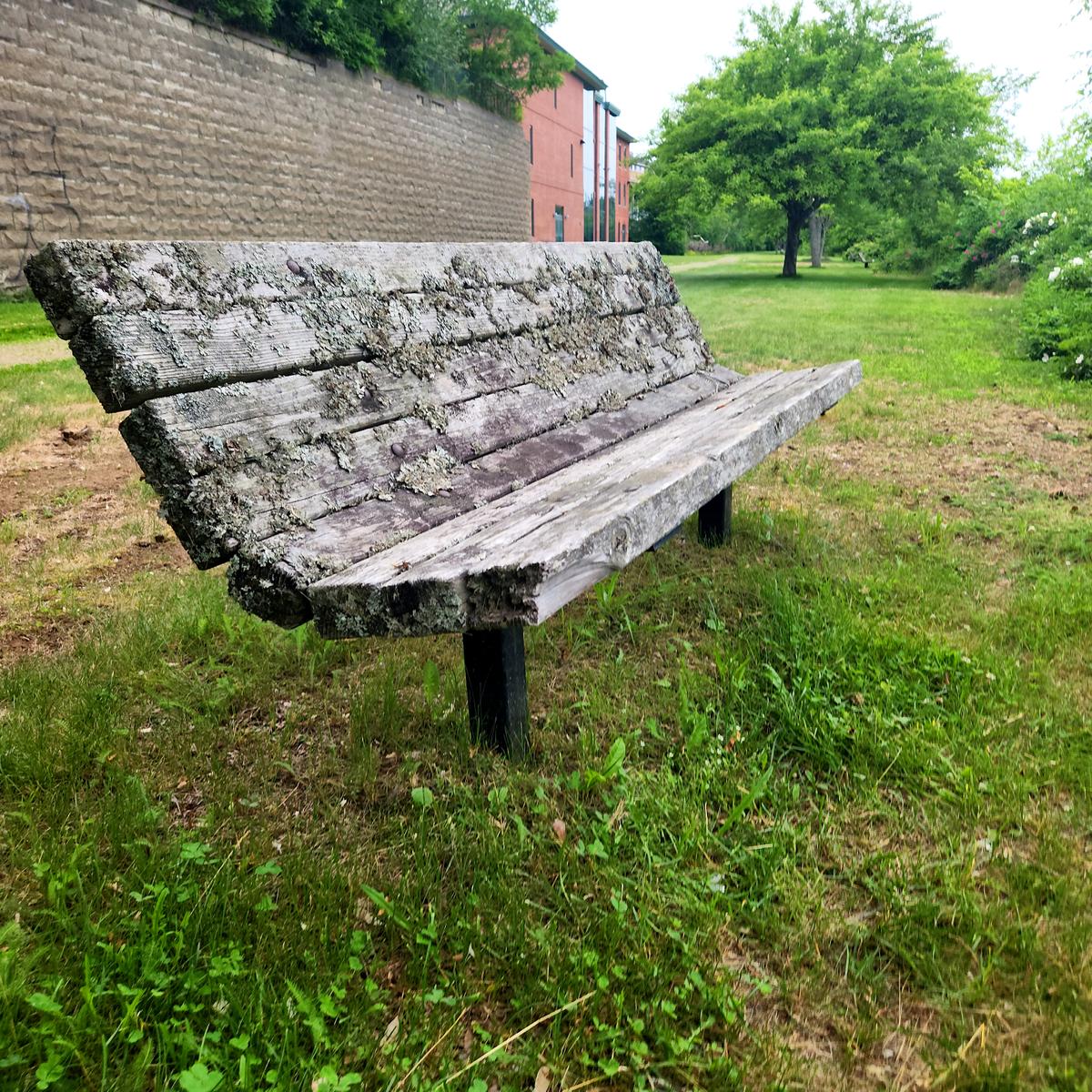
There are a few benches scattered along the trail where there are views to see. They aren’t accessible but do have ample room to park a wheelchair by them.

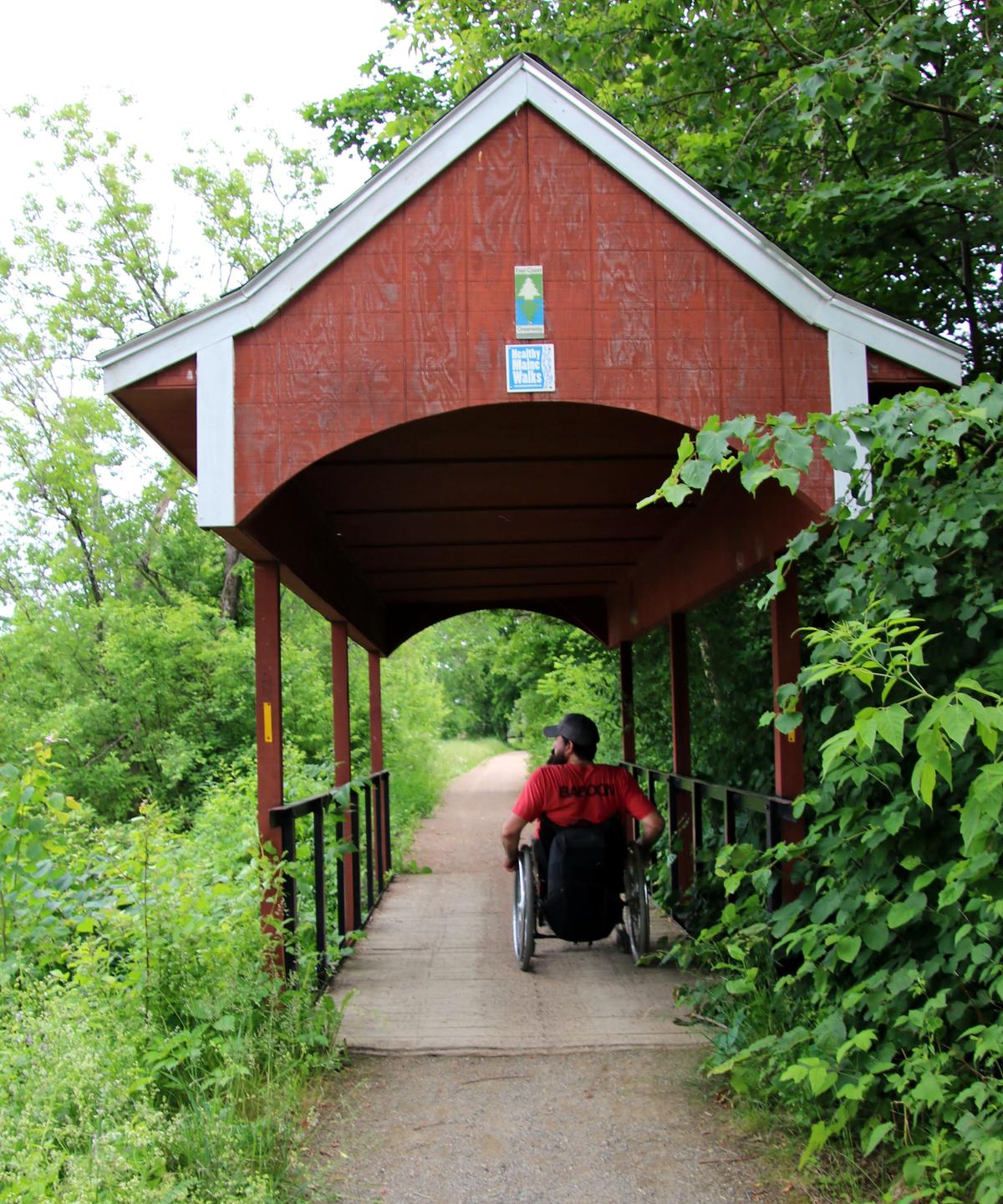
Once you get to Todd Street, that is one end of the trail. We turned around here and headed back to finish up the other end. When arriving back at the parking lot there is a really cool covered bridge. That is the start of the other end of the trail. The trail leading up to the bridge is narrow but only because the grass has filled it in.
From here the trail gets a little more difficult as the surface becomes soft in some sections. The material was more like pink sand.

There are a couple more great views of the river along this section.
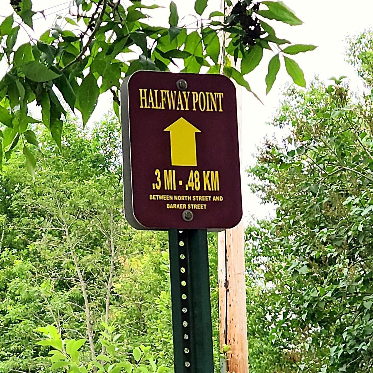
There is also a distance marker in this direction letting you know you are halfway to the end of this side of the trail.
When you eventually get to Barker Street there is a business building but not much else to see.
Overall the trail is 1.5 miles if you could do it one way, or about 3 miles round trip. It is a super easy push other than that little bit of pink sand. I would highly recommend it if you are in the area. The views and wildlife are stunning!
If you have a different type of mobility issue or a different disability and you visit this trail or others, please comment on this post and give us your feedback. The more knowledge we gather and share, the more people we can get outside using the trails of Maine!
Success! A new password has been emailed to you.