Hey hikers! One of my final adventures in The County took me to Madawaska, to the Farm Brook Trails. The description on MTF is pretty good, in the sense that all the trails are named and it describes that there are loops for shorter hikes. It also does a good job identifying trailheads and describing what you will encounter from the trailhead as far as routes.
Unfortunately it doesn’t describe the terrain very well.
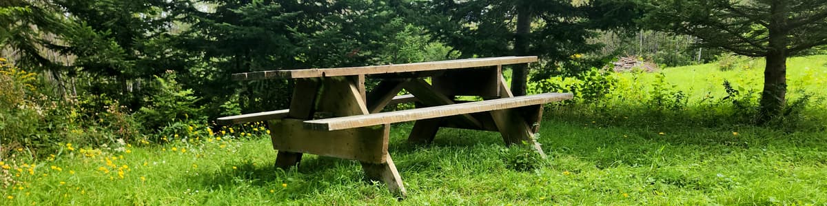
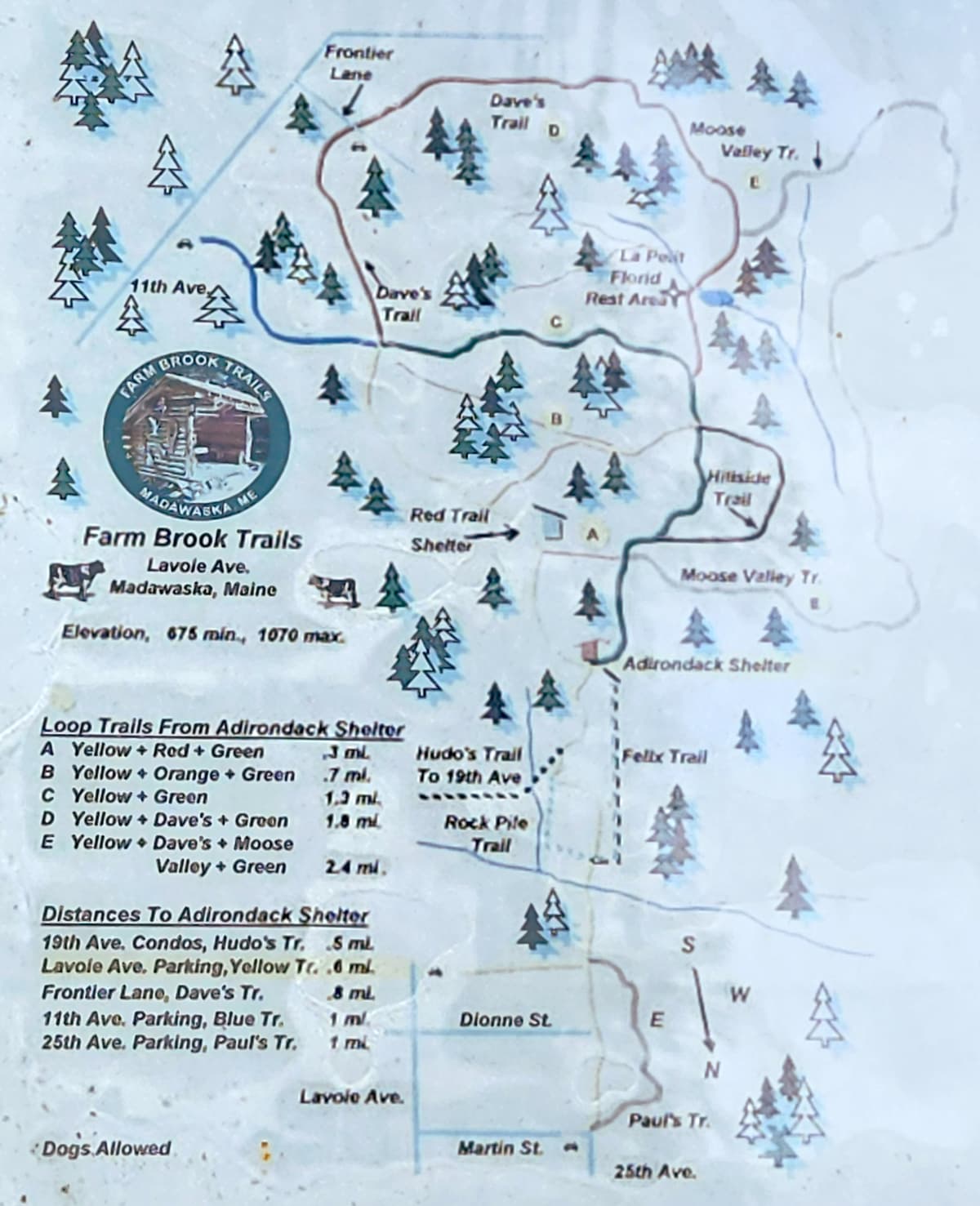
Farm Brook Trails offers 5.4 miles of looping wooded paths with international vistas and quiet solitude. There are rest benches along the trails including an Adirondack shelter with picnic tables, an information kiosk, and a fireplace for cooking in winter. Some of the old farm tools are displayed here along with a history of the old dairy farm.
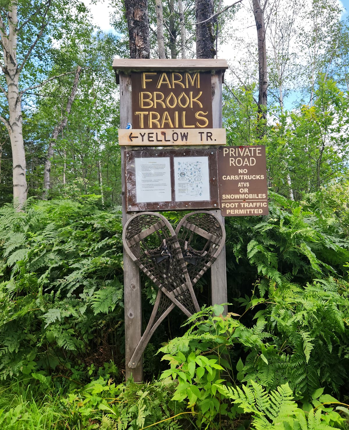
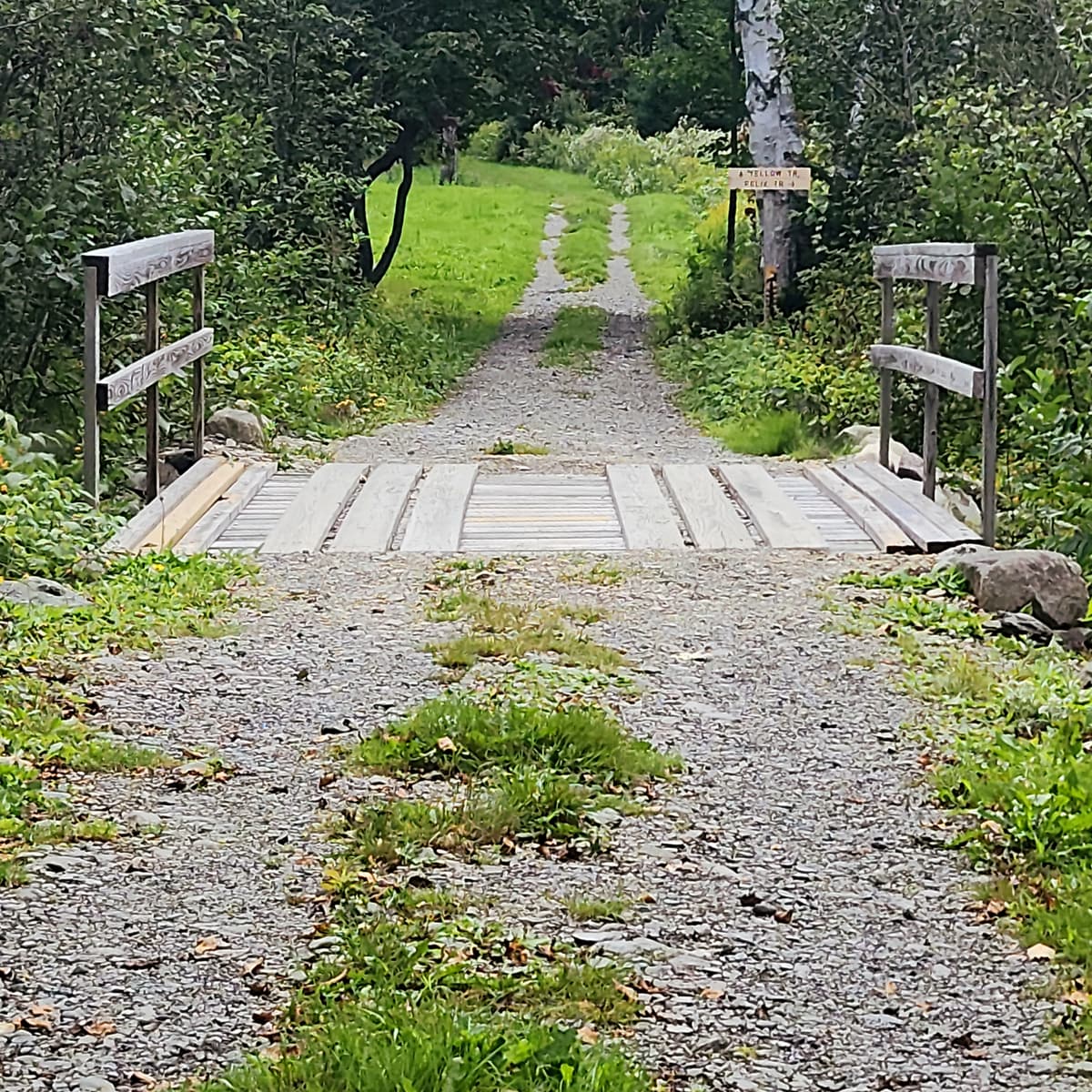
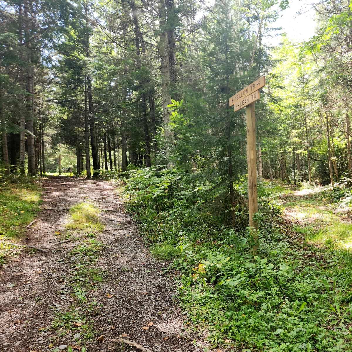
The Yellow Trail from the trailhead will bring you to a small bridge after which one may choose to take a left onto the Rock Pile Trail or a right onto the Felix Trail or stay on the Yellow Trail. Any of these brings you to the Adirondack Shelter which is the start of the upper trails in the system. The trails are designed with crossover connector trails so a person is able to return back at any time for a shorter loop hike. The trail intersections have location maps and other information in the winter. All trails may be used in the summer but signage is reduced beyond the Red Trail shelter although they are flagged and are not difficult to follow.
Lavoie Avenue Trailhead to Adirondack Shelter (0.6 miles)
Loop A- Yellow, Red, Green Trails (0.3 miles)
Loop B- Yellow, Orange, Green Trails (0.7 miles)
Loop C- Yellow and Green Trails (1.3 miles)
Loop D- Yellow, Dave's, Green Trails (1.8 miles)
Loop-E Yellow, Dave's, Moose Valley, Green Trails (2.2 miles)
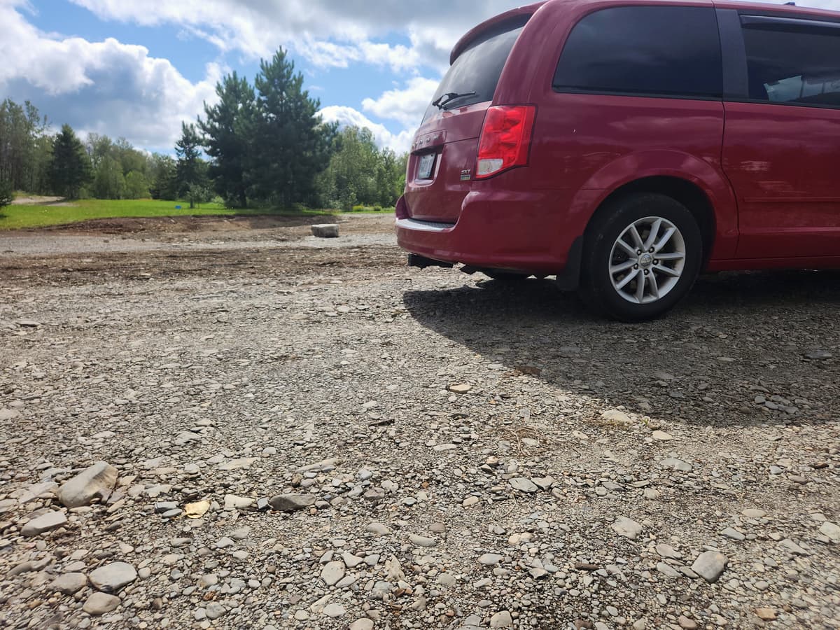
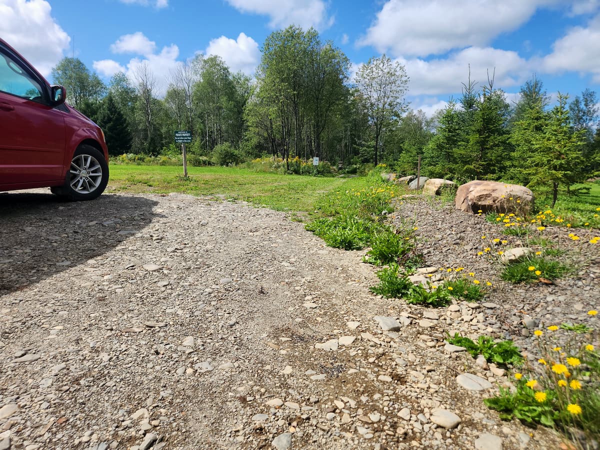
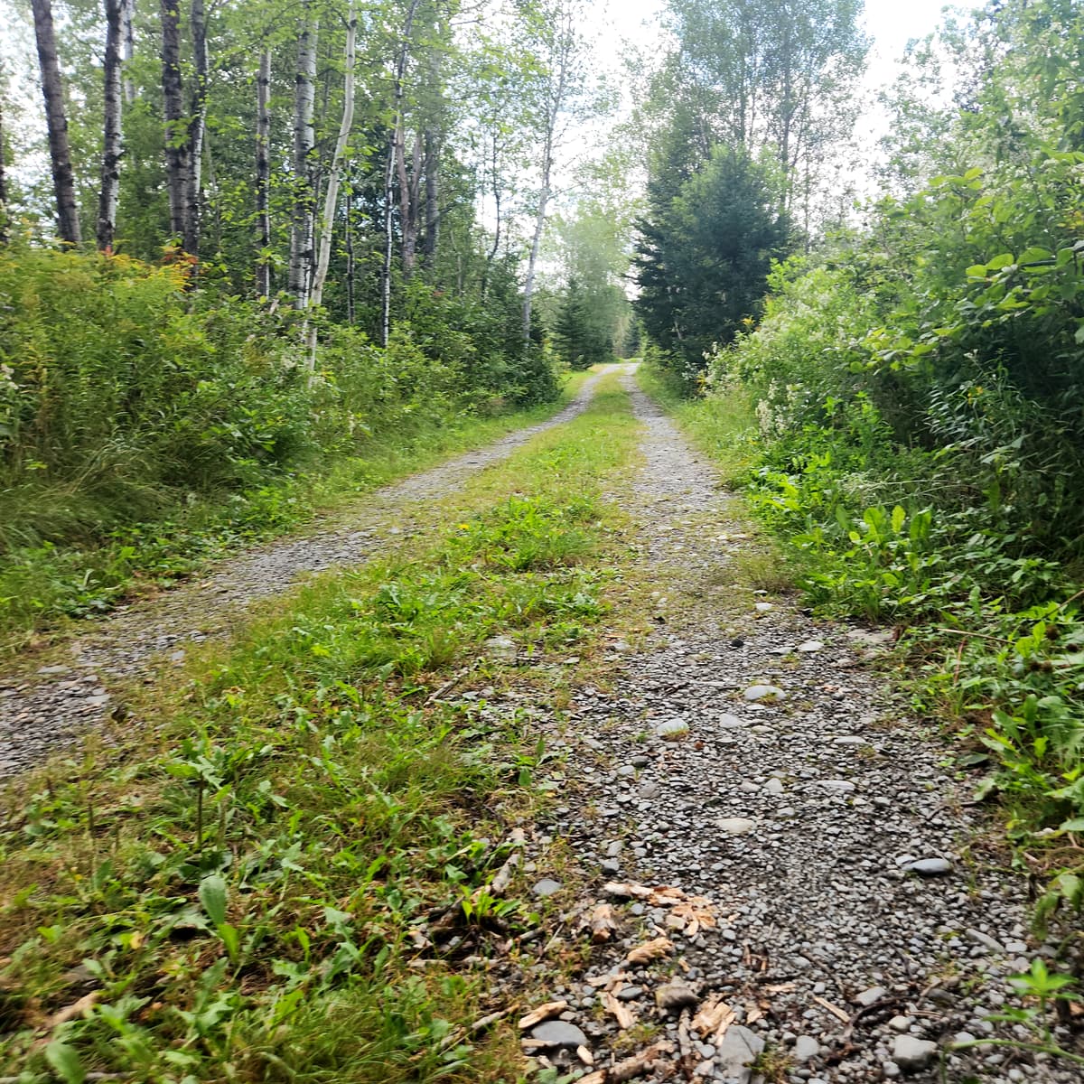
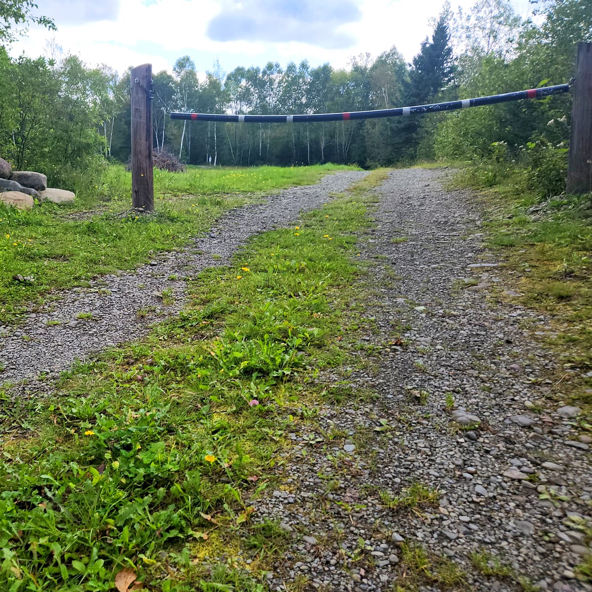
I chose to do the Yellow Trail and attempt to get to the Adirondack Shelter. I started at the Lavoie Avenue Trailhead. The parking lot is a dirt surface, but was purposefully built and is quite firm in most places, though some caution is needed in a couple places with big rocks and soft spots. It is also seems to be right on someone's lawn, which made me wonder if I was in the right place until I saw the trailhead signs in the distance.
The map on the kiosk is very good, showing the various routes a person can take through the property. It also gives the minimum and maximum elevation of the property, as well as the distances of all the routes, though I do wish it had been color coded based on the trail names.
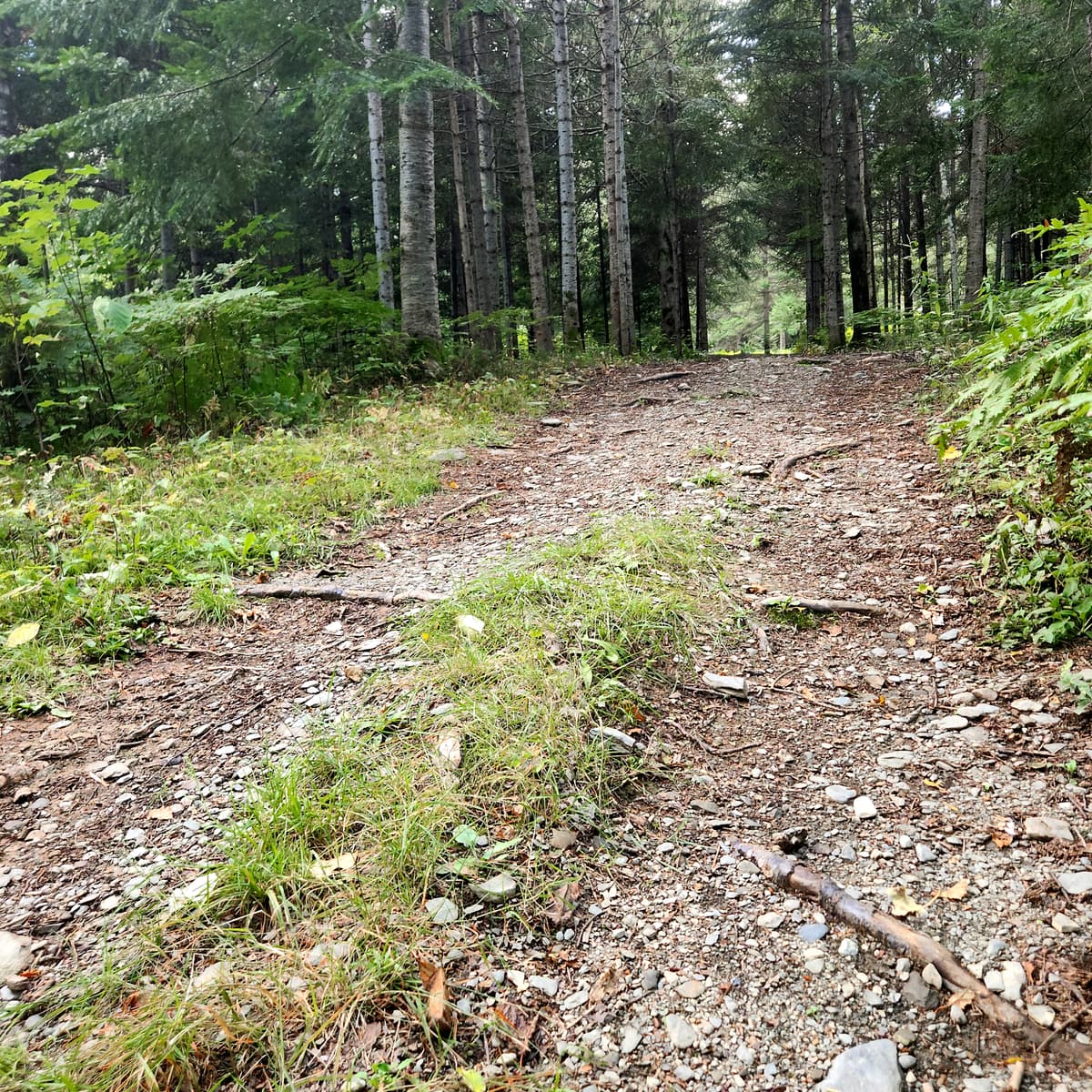
I proceeded toward the signs. For the most part, I found the trail quite firm and smooth, but that was somewhat deceiving, It usually is at the start of most trails that I have often said “Oh this doesn’t look too bad.“ and then found the bad parts farther down the trail. I will get to the later...

The trail is an old road through the property. If you have read my previous blogs, you know I love old farm and logging roads. They generally make for mostly accessible trails for wheelchair users. They are wide and hard packed, and for the most part obstacle free. If there is an obstacle, the trail is wide enough to go around it. There was grass in the center of this road, but the paths on either side were easily rolled on by my wheelchair.
There is also a really wide bridge that I assume was meant for log trucks, or at least farm vehicles to be able to access the property.
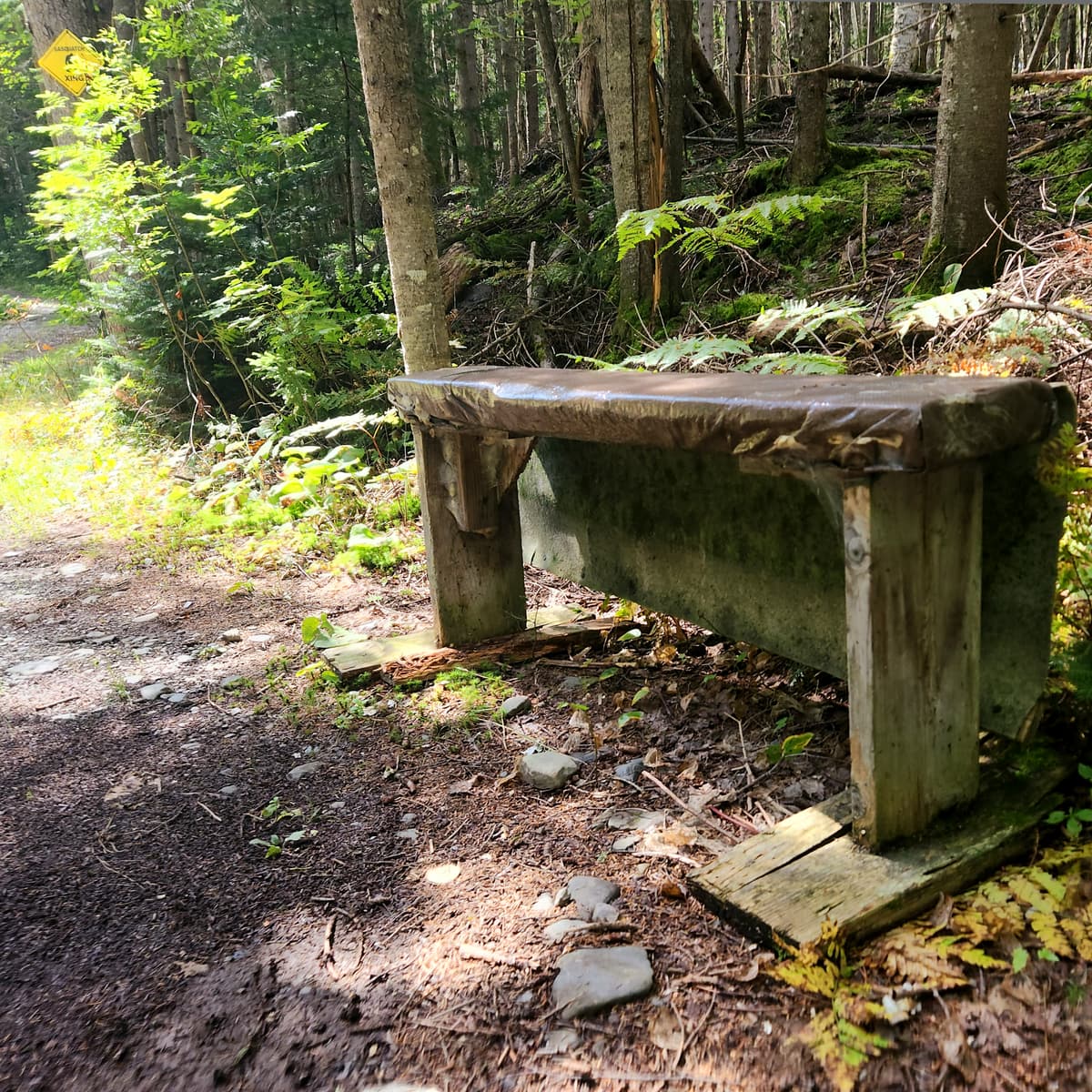
There are also benches at a few locations. They aren’t technically accessible benches due to their construction, but could be used as a rest spot.
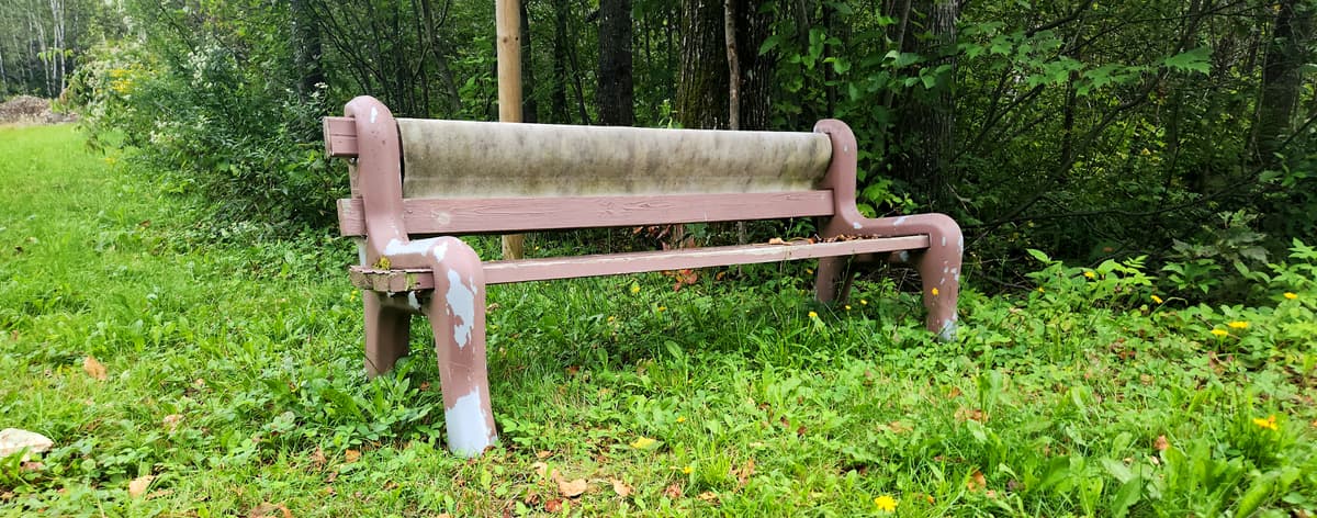
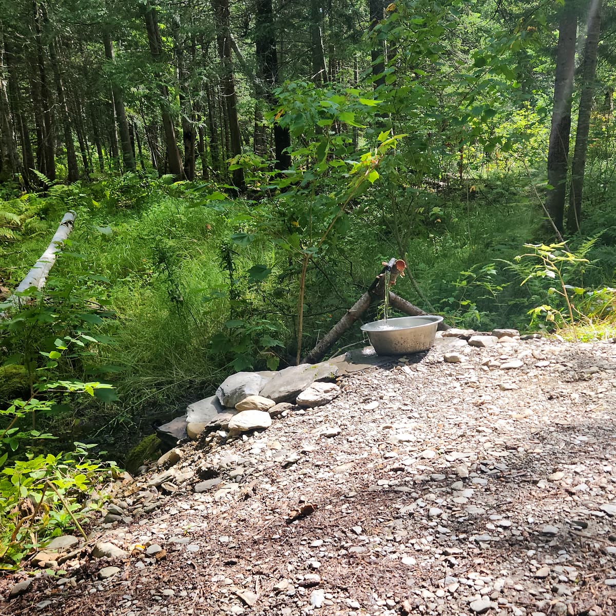
I am not sure I would sit on the bench pictured below. It was there for dog owners to sit on while their dogs take a drink from a bowl next to it, fed by a spring. I had never seen that before, and thought it was a really cool idea.
About 0.4 miles into the Yellow Trail I found my stopping point. There was a hill that was just too steep and rocky for me to risk trying to make it up on my own. I am quite sure I was very close to the Adirondack Shelter. It pained me to turn around and not get to my goal.
I would love to go back to these trails sometime with help and do some more exploring. I did really enjoy the trail, and would recommend trying it at least to my turn-around point. If you have help, maybe continue on further. And get a picture of that shelter for me!
If you have a different type of mobility issue or a different disability and you visit this trail or others, please comment on this post and give us your feedback. The more knowledge we gather and share, the more people we can get outside using the trails of Maine!
Success! A new password has been emailed to you.