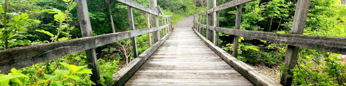
Enock, Outdoor Accessibility Specialist, checks out a waterfront trail in downtown Milbridge as a part of his exploration of downeast trails.
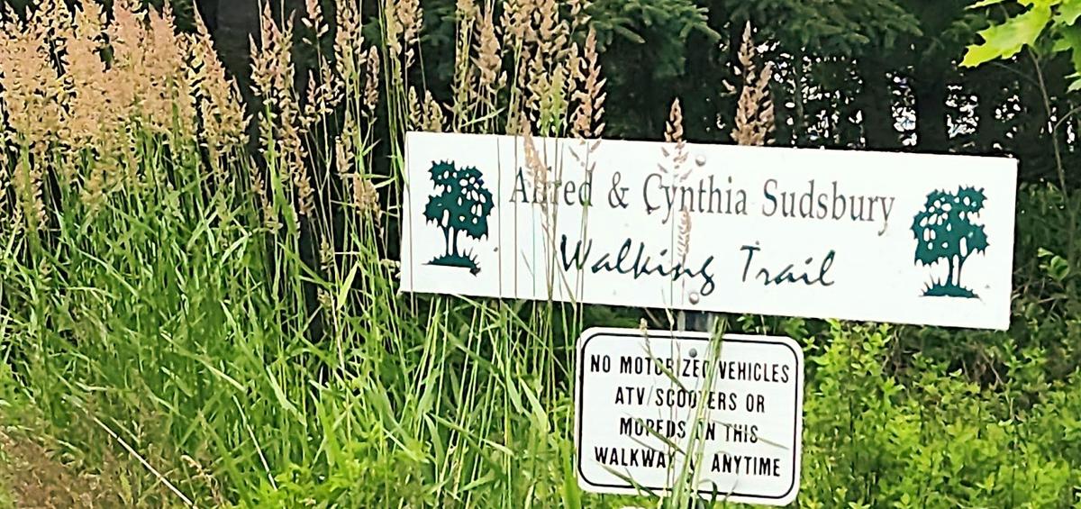
One of my stops in Milbridge, as a part of my trip downeast, was at the Alfred & Cynthia Sudsbury Walking Trail. This is a fully paved path that starts at the Milbridge Public Library.
First I want to commend whoever wrote the description on MTF. While it doesn’t give numbers for slopes it does describe the trail better than most trail descriptions.
The paved trail is about 4 feet wide. There is a smooth transition from the parking lot to the trail. Almost immediately it descends at a moderately steep grade for the first 10 feet or so, and then continues to descend more gradually, curving through maple trees, until it reaches the shore. The first bench is located here, and the trail turns sharply left to follow the shoreline.
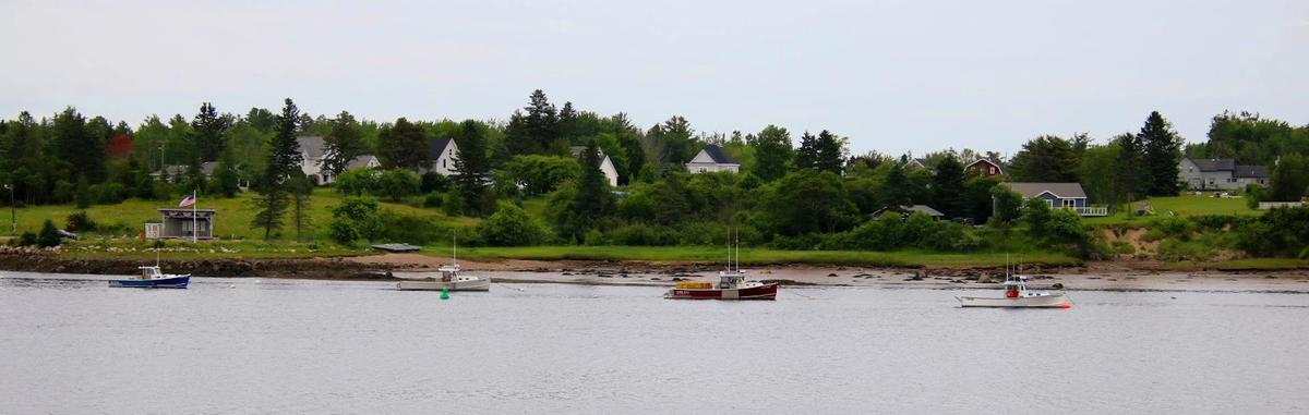
There are views of the river, and little gradient change, from this point until the end of the trail. The trail soon crosses a bridge, slightly narrower than the trail and with railings on either side, over a small stream running into the river. There are two additional benches located along the trail before it reaches its end at US-1.
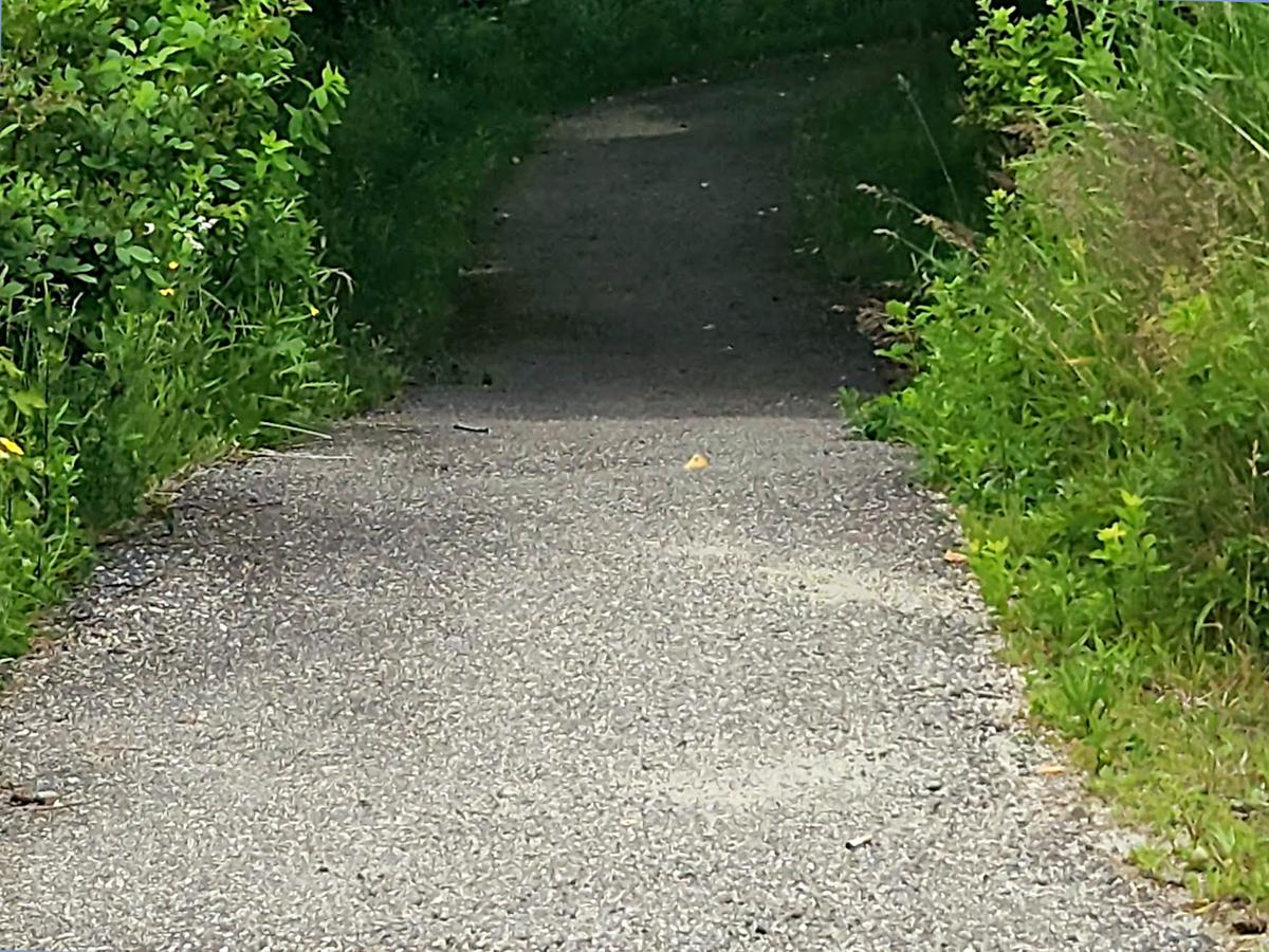
There is a significant frost heave in the pavement near this end of the trail; and a 6-8 inch curb between the trail and the roadway. There is no good way to loop back to the trailhead on the road, it is recommended to turn around and return by the same trail for an out-and-back walk totaling a quarter-mile.
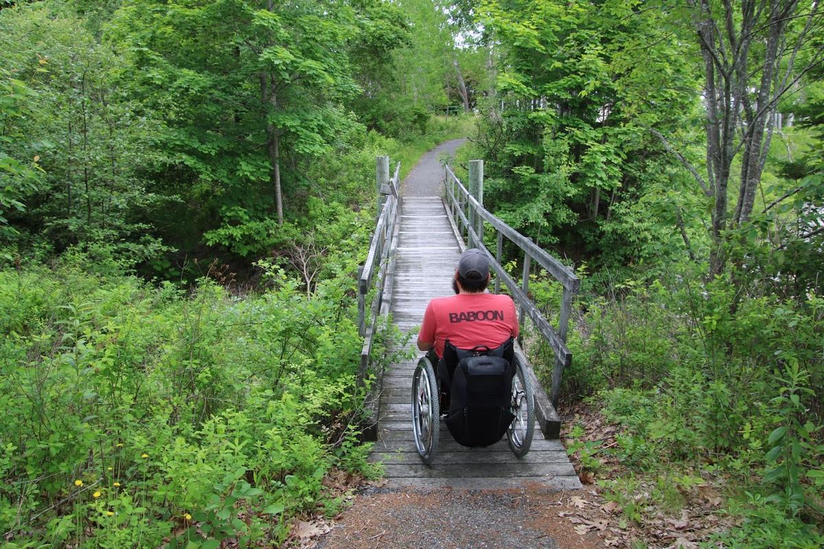
It really is true that the trail has a smooth transition from the parking lot and then descends rather steeply for about 10 feet or so. The exact slope of that section is actually about 12 percent. I had to have my partner, Sandy, help me back up the hill on the way back.
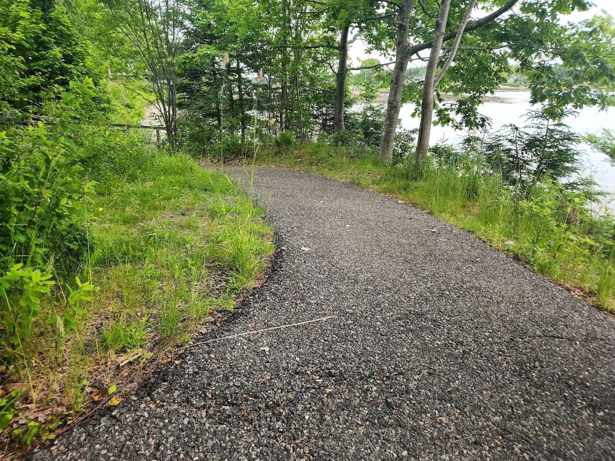
The hill does get more gradual as you approach the bridge as you can see in this photo (the bridge just visible to the left in the photo).
The bridge is slightly more narrow than the trail, as described. It is more than 36 inches wide.
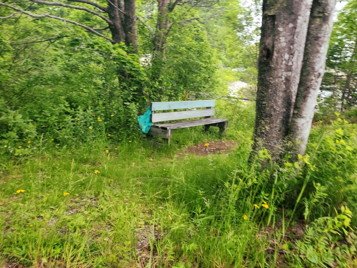
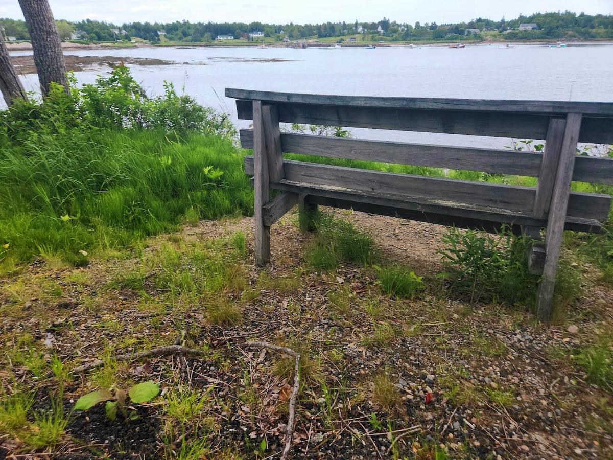
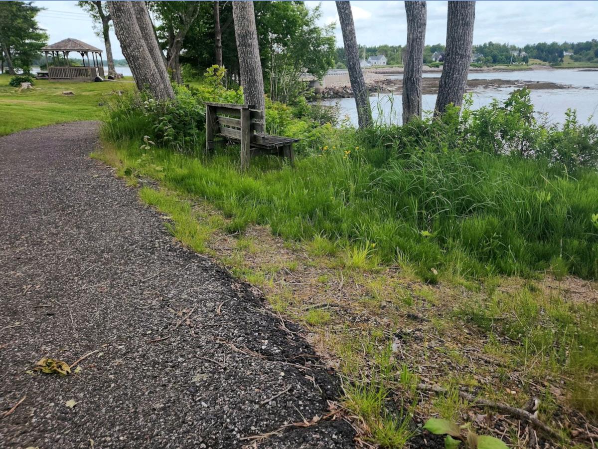
The benches mentioned in the description are not built to accessible standards and are not placed well to be accessible. That is something to keep in mind if you might need a place to sit and rest.
I love this line from the description:
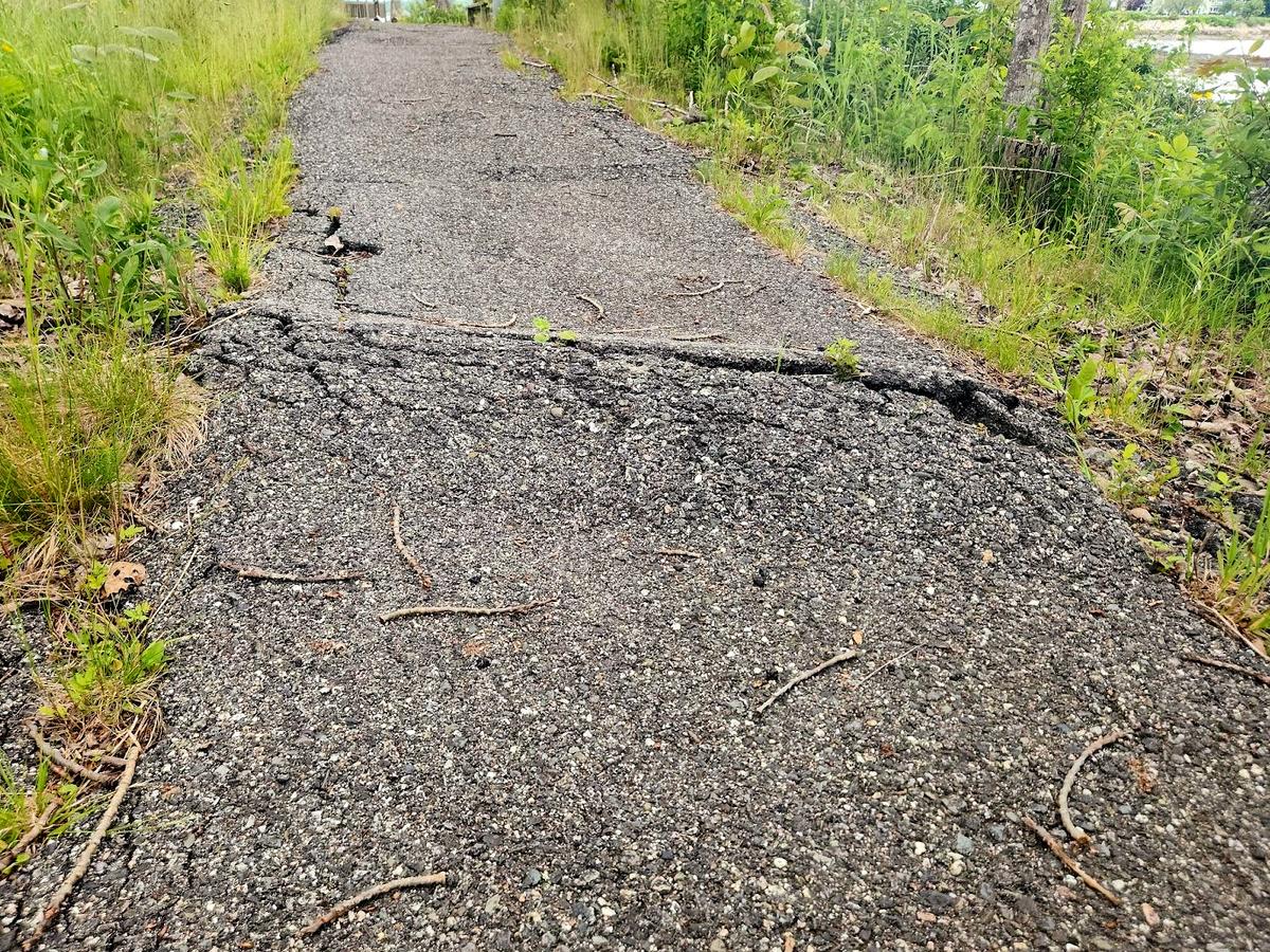
There is a significant frost heave in the pavement near this end of the trail; and a 6-8 inch curb between the trail and the roadway.
I almost never see mentions of obstacles in descriptions and there are very few on this path. It is awesome they took the time to notice that and realize it may be an issue for some people. I took a picture of it for you to see.
I also love the fact they let you know that there isn’t a good way to loop back via the road and to just turn around and go back on the path. They even tell you how long the total trip is so you can judge the distance.
There is no good way to loop back to the trailhead on the road, it is recommended to turn around and return by the same trail for an out-and-back walk totaling a quarter-mile.
The fact this path is paved does enhance the usability from a wheelchair user's perspective. It would be much harder to get up the initial hill if it was dirt. It also allows for controlling speed easier on the way down. The views from the path are quite spectacular also.
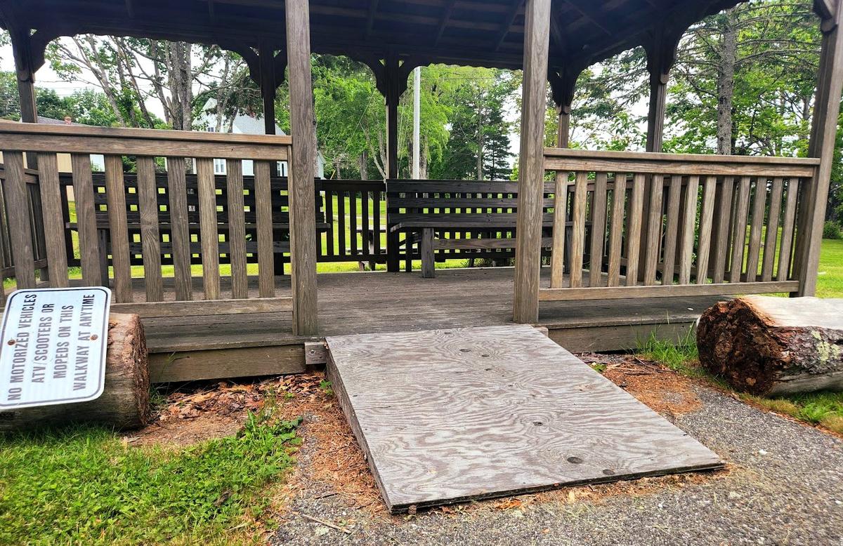
The pavilion mentioned in the description does have a ramp. It is a bit steep since it is so short. That could be lengthened to make it more gradual. The ramp could also be made out of more suitable materials as the plywood will probably deteriorate over time. The pavilion does have benches for a nice place to sit out of the weather and take in the views.
This really is a well thought out path for the most part. As always, there could be improvements.
If you have a different type of mobility issue or a different disability and you visit this trail or others, please comment on this post and give us your feedback. The more knowledge we gather and share, the more people we can get outside using the trails of Maine!
Success! A new password has been emailed to you.