Hey hikers! My final few stops in the county were short trails and some not so doable trails. I did one final trail in Fort Kent, and checked out a couple more that were not so doable in Madawaska and the Presque Isle area. I will focus on the Fort Kent trail, and just touch on those other less doable trails so you have the information.
CROCKER BEACH TRAIL
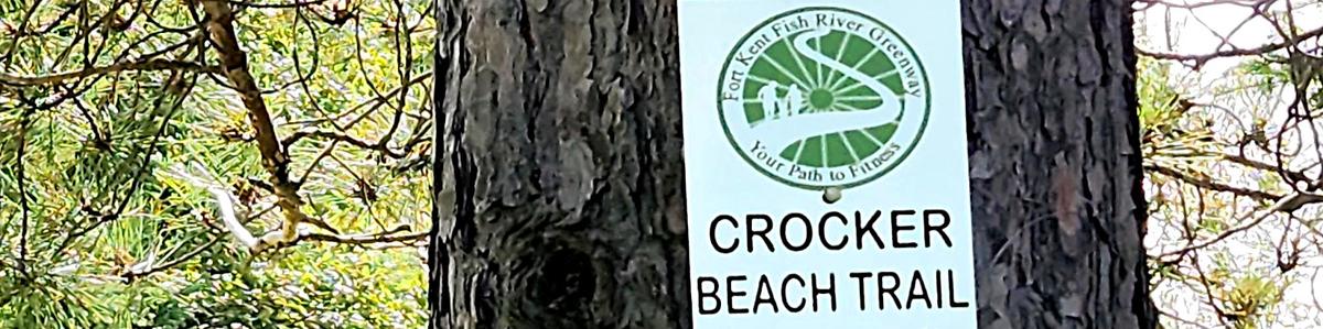
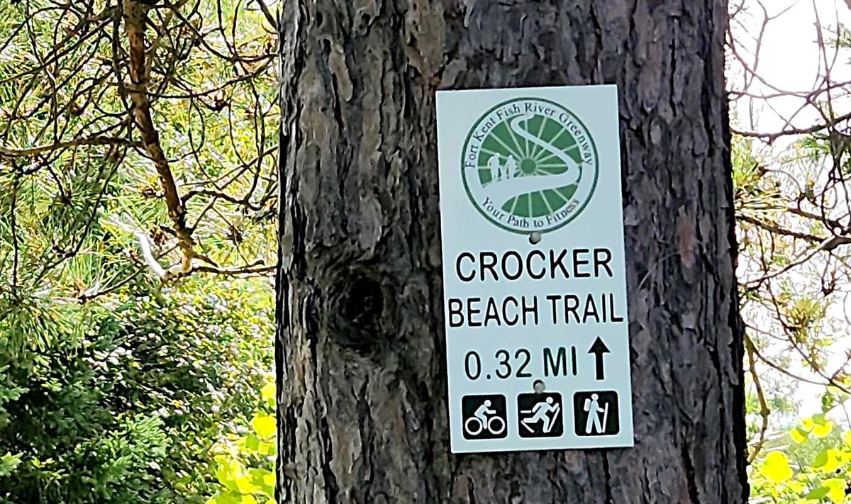
My last stop in Fort Kent was the Crocker Beach Trail. It is very short, at about 0.3 miles. It is located right behind the University of Maine at Fort Kent.
The description on Maine Trail Finder is mostly accurate.
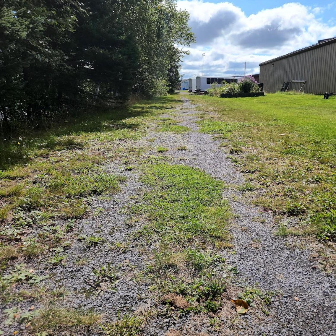
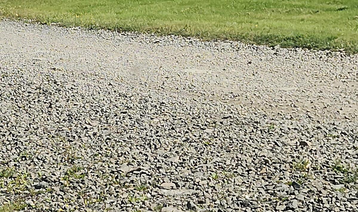
This gravel-surfaced trail is about 6-8 feet in width. It winds along the wooded edge of the Fish River for 0.3 miles, providing scenic views along the way. For part of its length, the trail parallels the high school track and multi-use fields then winds near to the public pool. The northern trailhead is located near the University of Maine Fort Kent, and abuts the Riverside West Trail. The southern trailhead connects to both the St. John Valley Heritage Rail Trail and the Jalbert Park Trail, both of which can be added onto the Crocker Trail to extend a user's walk.
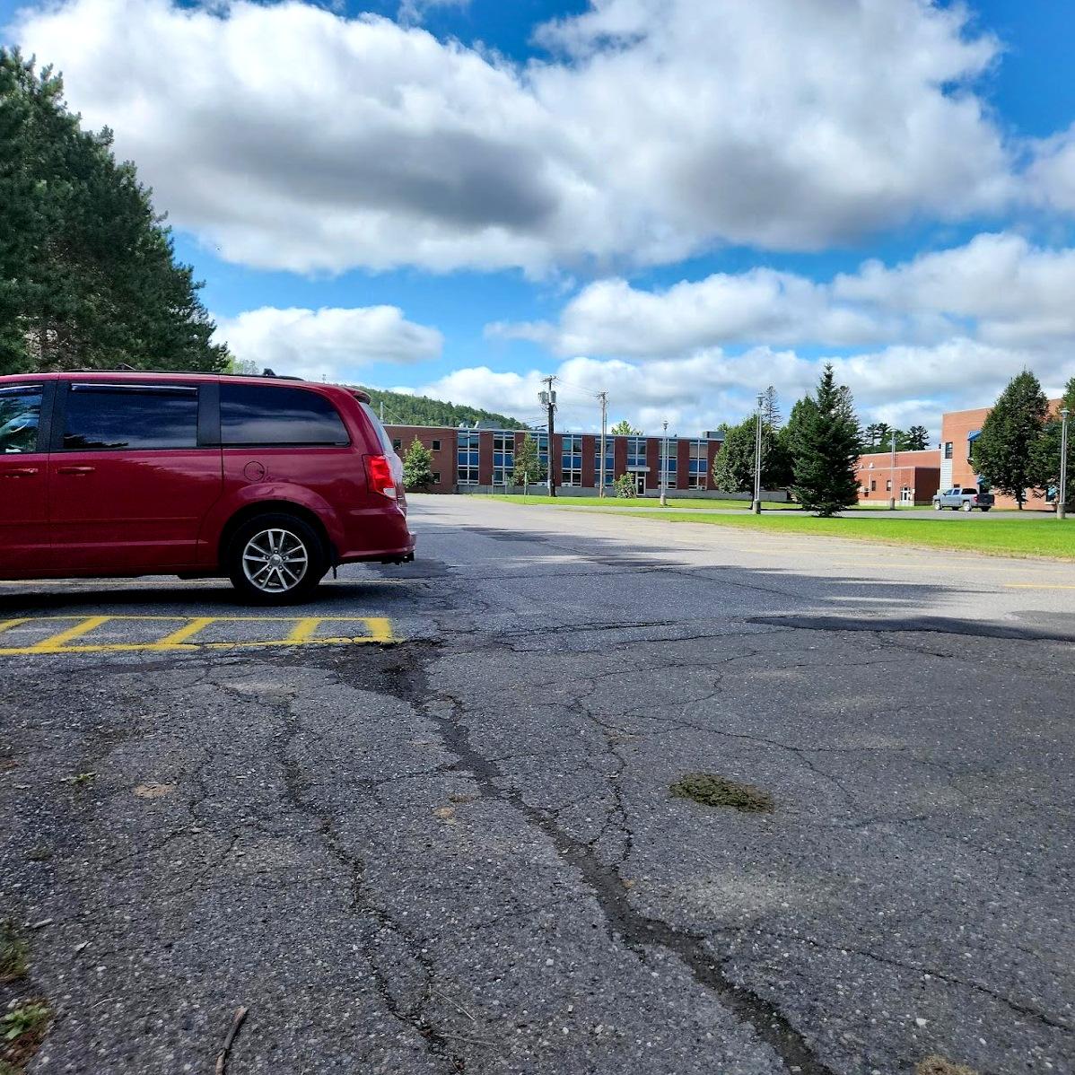
The trail starts off the parking lot behind the university. I had a hard time finding the start of the trail. This was actually my second attempt. I tried during my trip to Fort Kent the year before also. This time I was able to locate it. I had such a hard time because the only sign indicating the trail is a very small one on a tree.
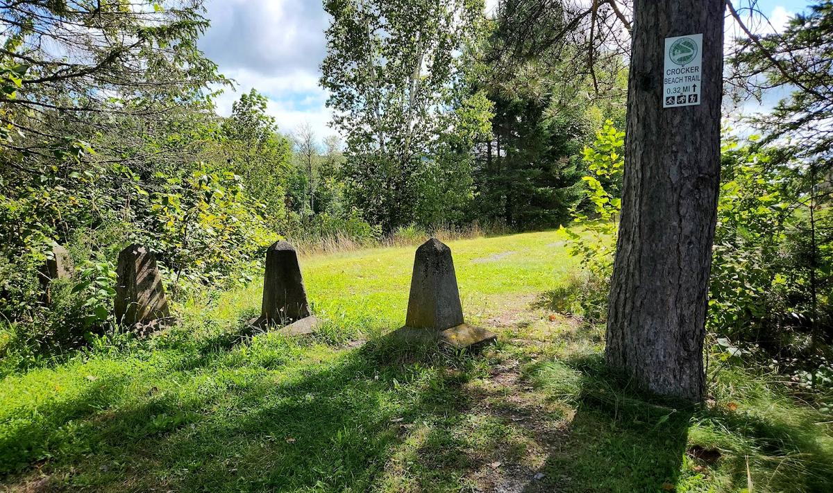
In the photo you can see three concrete pillars creating a barrier for vehicles. They are spread far enough apart to make it passable to anyone else who might want access.
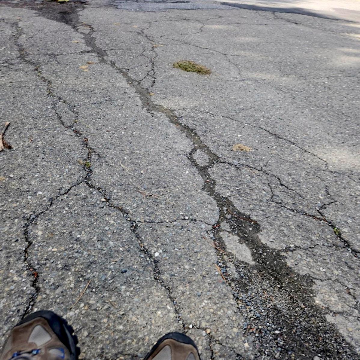
The surface isn’t completely gravel; there are some grassy areas. The trail is so wide that it is easy to find paths around those areas.
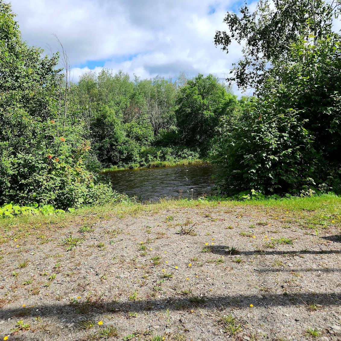
The views in the description are essentially impossible to see from a wheelchair due to the trees and other overgrown vegetation. I am also not sure why it is called Crocker Beach Trail unless there is some access to a beach I couldn’t find. This is a great short trail if you just want an out of the way place to get some exercise.
MULTI TRAIL TO CROSS TRAIL
The next trails I tried were in Madawaska. You can read about the one successful trail I found in my Farm Brook Trails post. The others were not very doable and I didn’t attempt to try. I went to both ends of the Multi to Cross Trail and found it was really an ATV trail not necessarily a hiking trail.
I also figured out why it has the odd name of "Multi to Cross Trail." It starts at the Madawaska Multi Purpose Center, and ends at a giant cross on top of a hill overlooking the Saint John River. The Acadian Landing Site, also known as the Acadian Cross Historic Shrine, is a site historically significant to the French-American Acadian population of far northern Maine. Marked by a large marble cross, it is the site traditionally recorded as the landing point of the first Acadians to settle this region of the upper Saint John River. The site was listed on the National Register of Historic Places in 1973.
It was quite an amazing sight to see and the view from the cross is stunning.

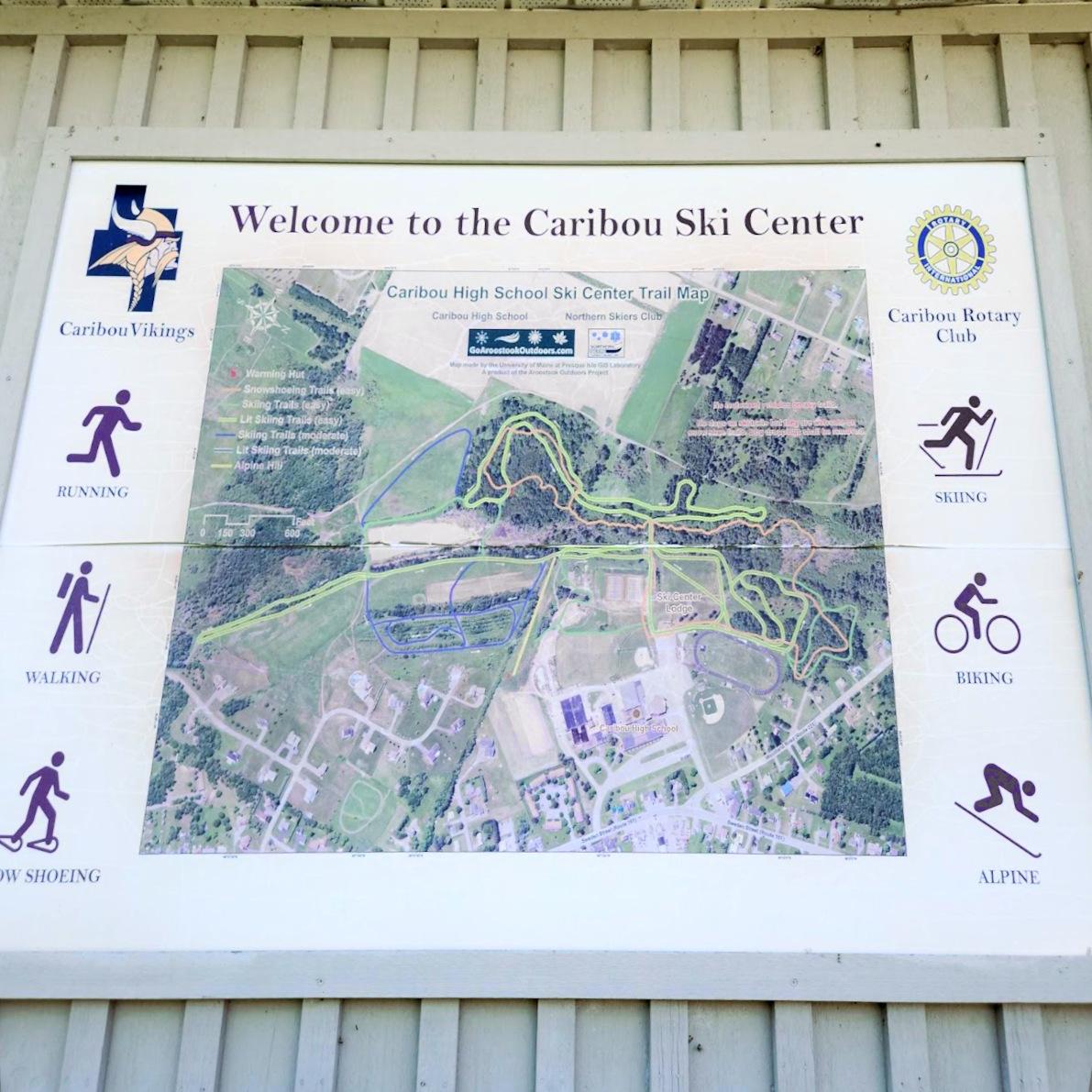
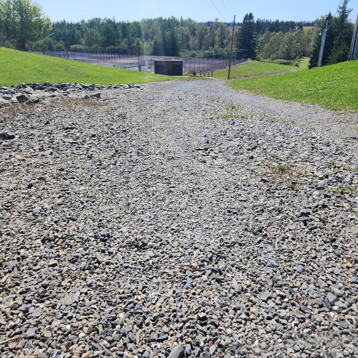
CARIBOU SKI CENTER
I also tried the cross country ski trails behind Caribou High School. Unfortunately it was just too steep an incline to access the trails from the ski center, and the road was not suitable for a wheelchair. My pictures never seem to show just how steep an incline really is, but it was definitely steep and rough.
AROOSTOOK VALLEY TRAIL
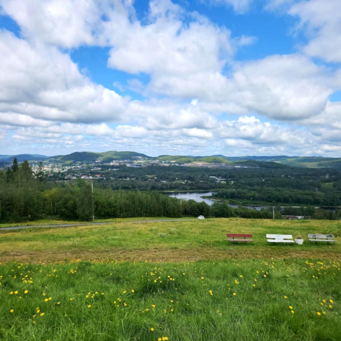
My final stop on this trip to the County was the Aroostook Valley Trail. This trail was chosen because it has sections close to schools. The description on MTF does make it obvious that it is mostly suited for ATV use, as it is 28 miles long.
The Aroostook Valley Trail is a 28-mile trail that connects the towns of Presque Isle, Caribou, Washburn, Woodland, and New Sweden. Riders will find a gravel surface trail that is open to multiple use, year round. Scenery varies from open fields to deep woods, and meanders along many streams and the Aroostook River. Most of this trail is very remote and riders should be prepared for a backcountry experience. Enjoy the trail and please remember it is multi-use; motorized users must yield to non-motorized users and are asked to demonstrate courtesy and ethics to all trail users as well as abutting landowners.
However, it was still worth checking out in case the sections near the school were OK for walking. They probably would be, but there are so many other trails purposely built for hiking around the area that hiking on these trails suited primarily for ATVs doesn’t make sense.
I hope these posts give you a good sense of what is available in the County for hiking recreation. It is definitely worth getting up there when the weather returns to being more favorable for hiking. As I write this it is currently snowing heavily. I made a few stops on my way home south from the County, so be on the lookout for those posts coming up!
If you have a different type of mobility issue or a different disability and you visit this trail or others, please comment on this post and give us your feedback. The more knowledge we gather and share, the more people we can get outside using the trails of Maine!
Success! A new password has been emailed to you.