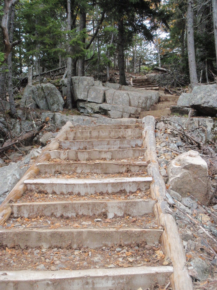
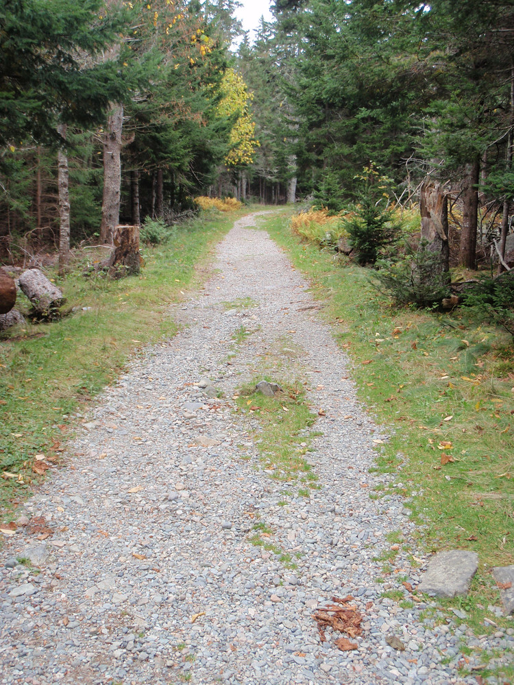
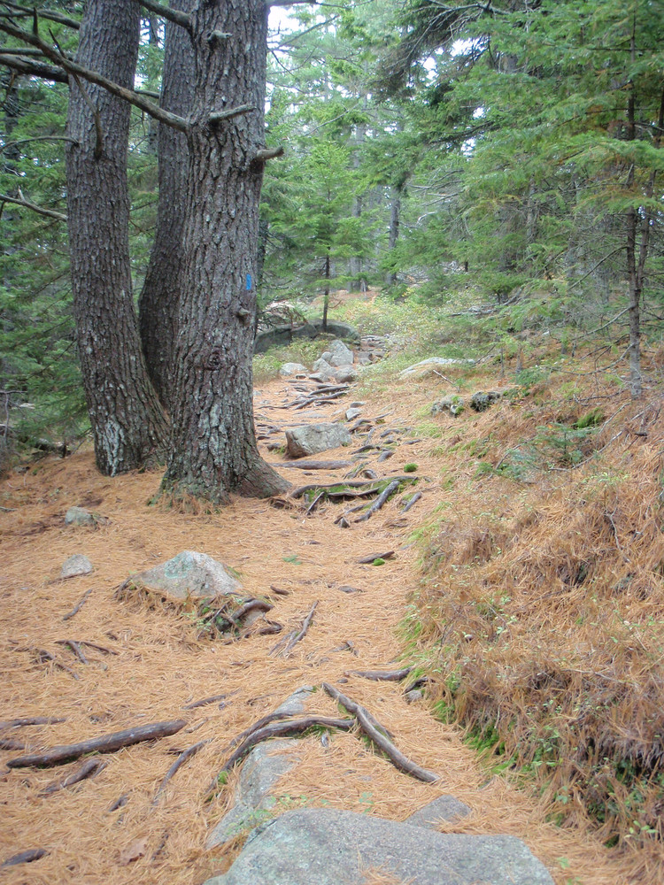
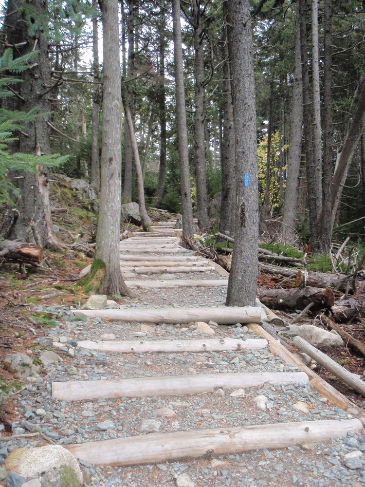
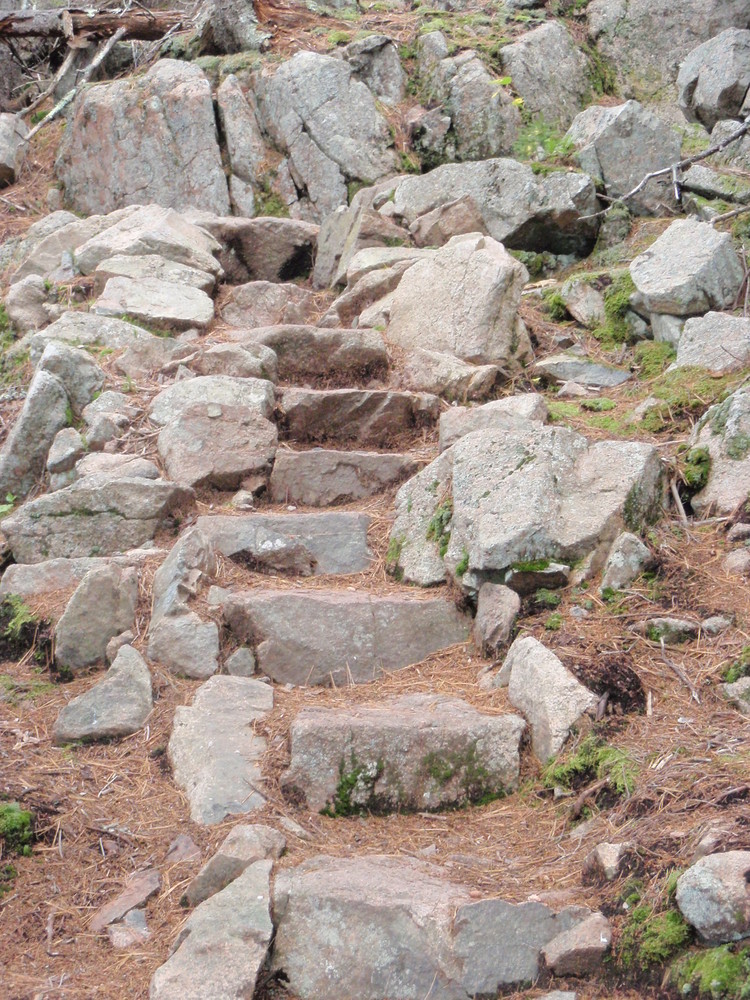
The trail gradually ascends through forest via log and gravel steps. Sections become more rugged, traversing rocks and roots. Just before reaching the peak the trail ascends steeply over exposed ledges. Several overlooks provide excellent views of Somes Sound to the east and the ocean and offshore islands to the south. The hike continues to the north along the ridge, passing the summit marker before descending to Valley Cove over rocky ground and stone steps. The hike returns through the woods to the parking lot on the Valley Cove Road (now considered a trail for foot traffic only).
Flying Mountain was named by the Wabanaki Indians, since the mountain appeared to have flown off nearby Acadia Mountain. British war ships used Valley Cove for shelter and to replenish their drinking water supplies at Man O' War Brook Waterfall. Somes Sound is frequently called a Fjord. Recently it was reclassified as a Fjard because its slopes are not as steep nor the entrance as deep as a Fjord.
Geocaching is prohibited within Acadia National Park; however, the park does sponsor an EarthCache Program for those seeking a virtual treasure hunt!
Visit Acadia National Park online for more information or contact:
Respect Maine’s “Open Land” Tradition: In many places, private landowners allow recreational access. Show your appreciation by seeking permission, treading carefully, and educating yourself on this uniquely Maine tradition.
After reaching Mount Desert Island on ME Route 3, stay to the right to follow ME Route 102 toward the towns of Somesville and Southwest Harbor. Just before reaching Southwest Harbor, turn left on Fernald Point Road. Continue on this road to an Acadia National Park parking area on the left.
These cliffs and surrounding areas are used by Peregrine Falcons, a state-listed endangered species, for nesting and rearing young fledglings. Peregrine falcons are very sensitive to disturbance near the nest site. To protect the peregrine chicks, certain areas are closed when the peregrines are nesting, generally from March 15 to August 15. Check your hiking route to make sure that the trails you wish to use are open. Acadia closures are listed here.
Success! A new password has been emailed to you.