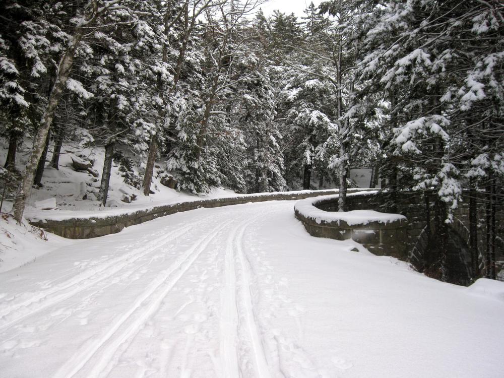
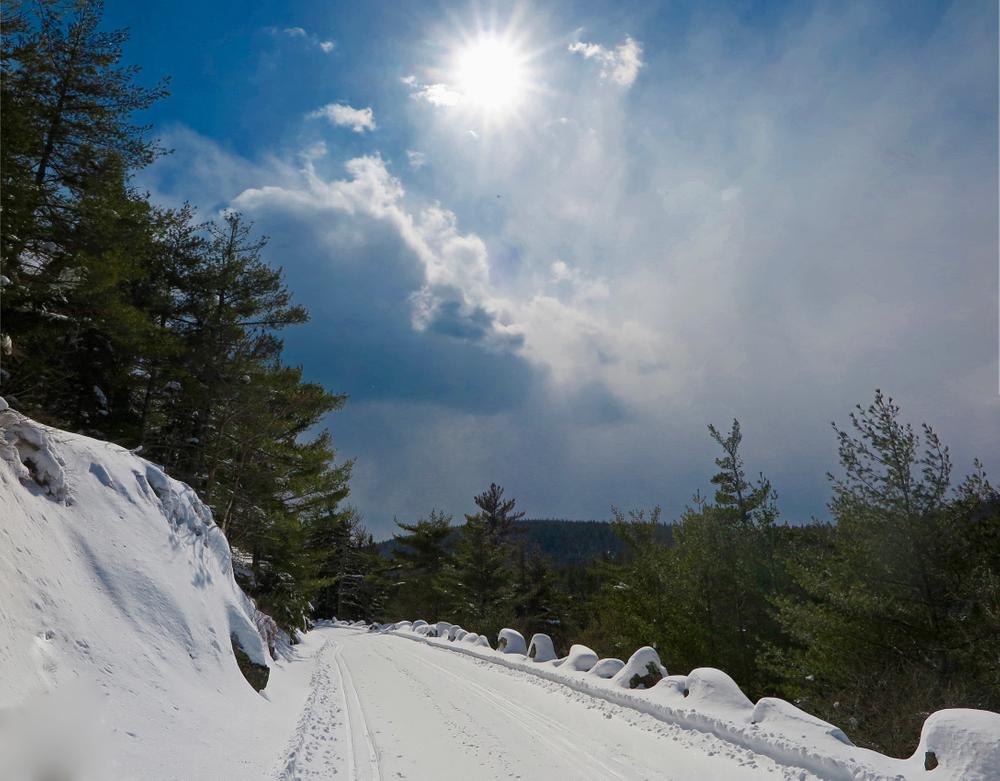
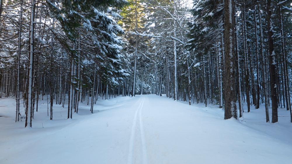
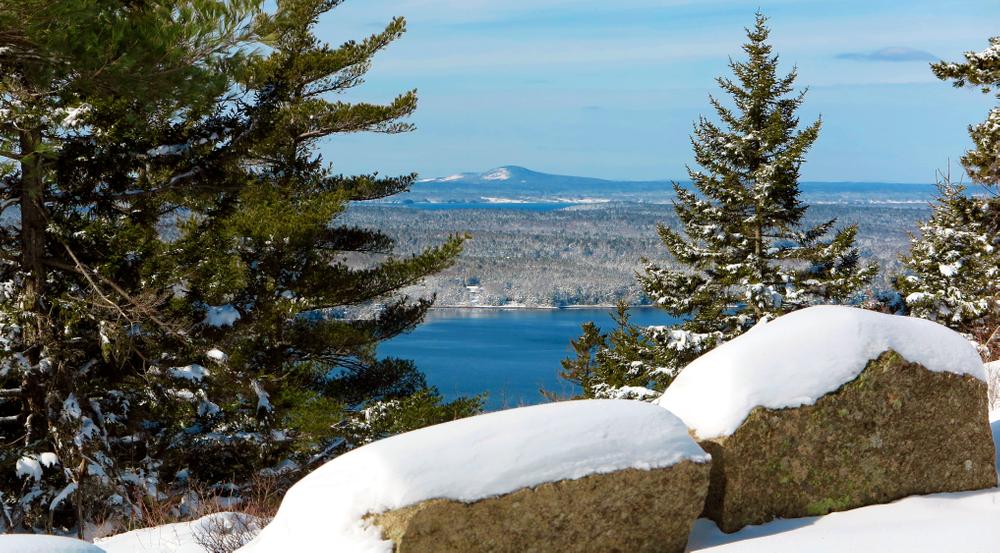
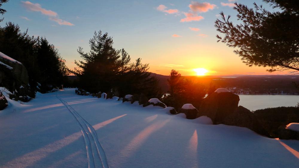
The pristine crushed-stone surfaces of Acadia’s carriage roads make them ideal for cross-country skiing in wintertime. Add the park’s spectacular scenery and trail grooming by the volunteers of the Acadia Winter Trails Association (consult the Winter Trails Association page of the Friends of Acadia website for current grooming status), and it’s no wonder that skiing is a highlight of the season for many area residents and winter visitors alike. The network of trails provides routes for all abilities, from short flat routes to longer treks up mountainsides. The following are among the most popular routes.
Witch Hole Loop (4.3 Miles, 5.5 Miles via Eagle Lake Connector)
This loop begins from the Hulls Cove Visitor Center. A groomed ski path leads uphill - with one rather steep stretch - through the woods for a half mile before reaching the carriage roads proper. From there, the mostly relatively flat route travels past five small ponds, including Which Hole Pond, marshes, and some views of Bar Harbor and the ocean to the north. Adding the short Paradis Hill loop to the route adds a 1.1 miles, with a long but gentle climb up the hill offering additional views over Bar Harbor. The loop may also be accessed via Duck Brook Bridge, or via the 1 mile Eagle Lake Connector from the Eagle Lake Parking Lot.
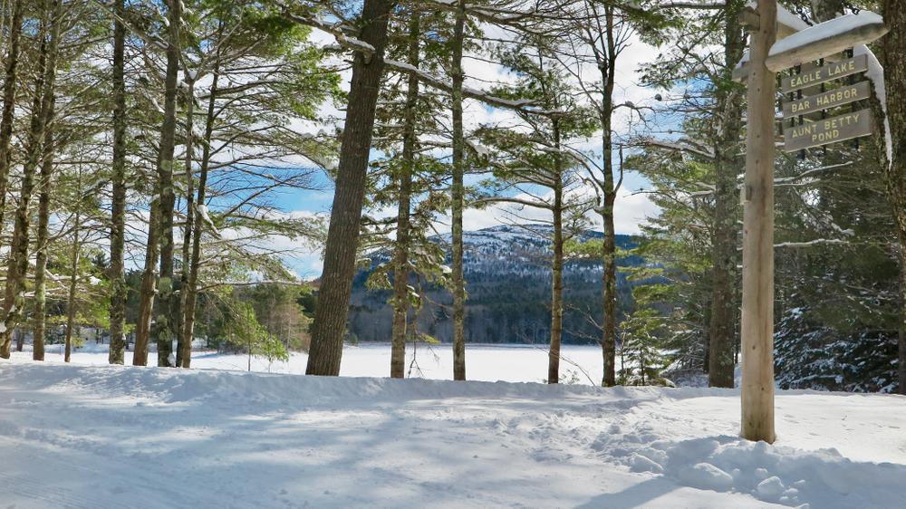
Aunt Betty Loop (5.6 Miles)
This loop is best accessed from the Eagle Lake parking lot. The route begins to the south of ME-233, a left from the parking lot then under the stone bridge. In a counter-clockwise direction, the route proceeds to the right at the first junction by Eagle Lake (#6), and then almost immediately comes to another junction (#9) where it takes a right again, away from the lake. The next 1.5 miles consist of a gentle incline followed by a gentle decline mostly through mostly spruce-fir forests, with some views over Eagle Lake at the highest point.
After passing by Aunt Betty Pond on the right, the trail is mostly flat to the next junction (#11) by a small pond, which offers nice views of Sargent and others of Acadia's mountains. The next 1.1 miles is a long climb, up the scenic and winding section of carriage roads called "Seven Bridges" (if you count you will note there are in actuality only six bridges!)
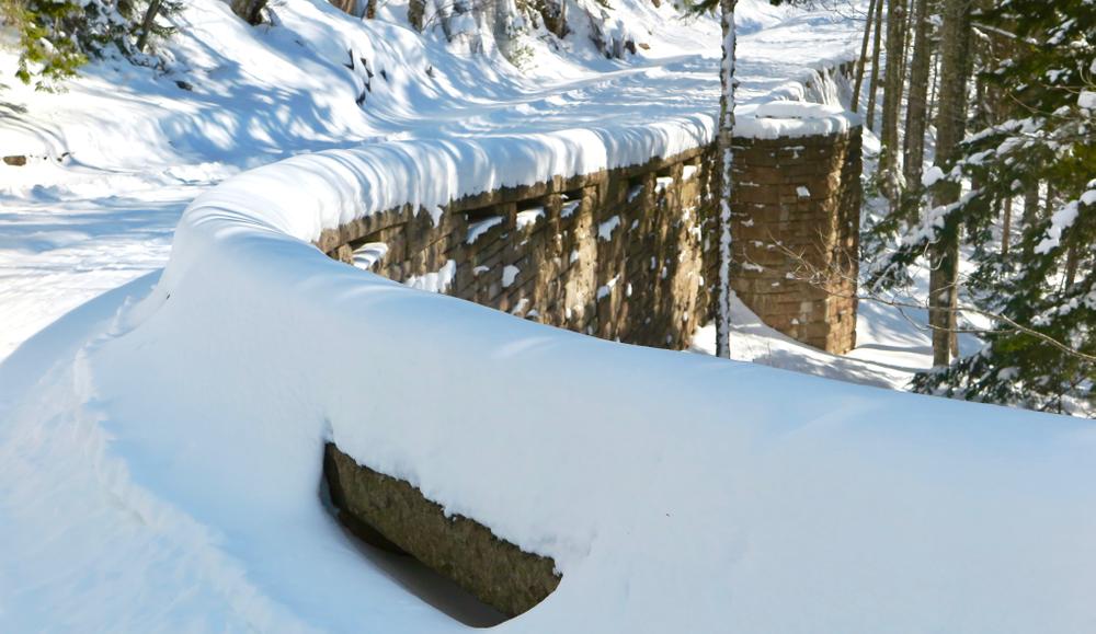
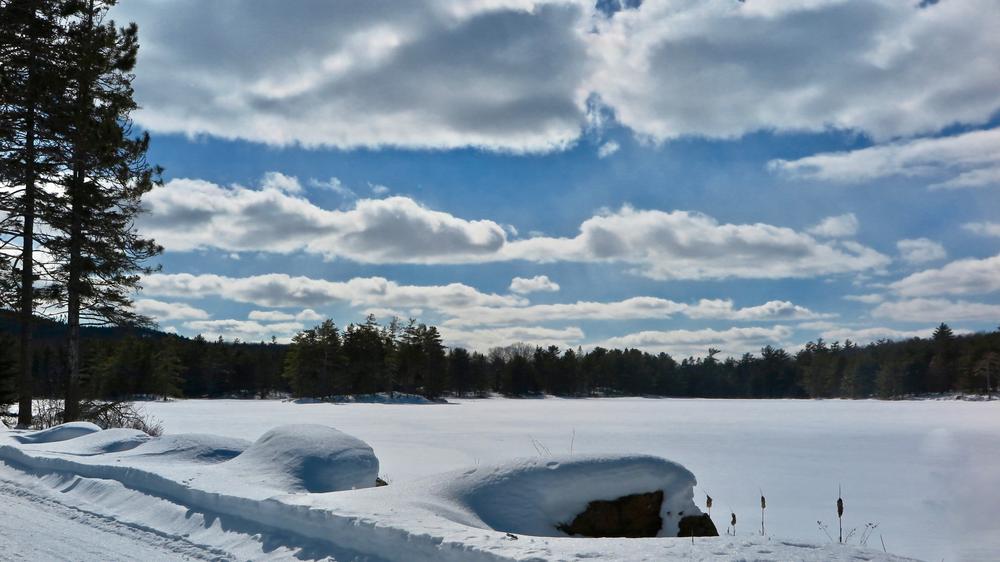
The route proceeds to the left at the next two junctions (#10N & #10S), one following just after the other, and then after only 0.1 miles to the left again (#8). A long, moderate descent is the reward for the climb up Seven Bridges. After just under 1 mile the route reaches the southern end of Eagle Lake on the right, and proceeds over mostly flat terrain the final mile back to the parking lot. Please note that because of the exposure by the lake, this section often has many hummocks over which to traverse, created in the snow by the wind.
Hadlock Loop (3.8 Miles)
This loop may be accessed from either the Parkman Mountain parking lot of the Brown Mountain Gatehouse. From the Gatehouse, a very short stretch of carriage road leads to the loop proper. Heading left at this first junction (#18) to proceed around the loop clockwise, the route travels through the woods over gentle inclines and declines for about mile, passing by Upper Hadlock Pond on the left, and over a low stone bridge spanning Hadlock Stream. About 0.25 miles past the bridge, the route begins a long but moderate climb up to the next junction (#13) near the Parkman Mountain parking lot. The route continues upward, more steeply now with one particularly short but steep section curving sharply to the right at the start, for the next 0.3 miles to the junction at the highest elevation of this loop (#12). From this location there are views to the south of Upper Hadlock Pond, Northeast Harbor, and out to the islands.
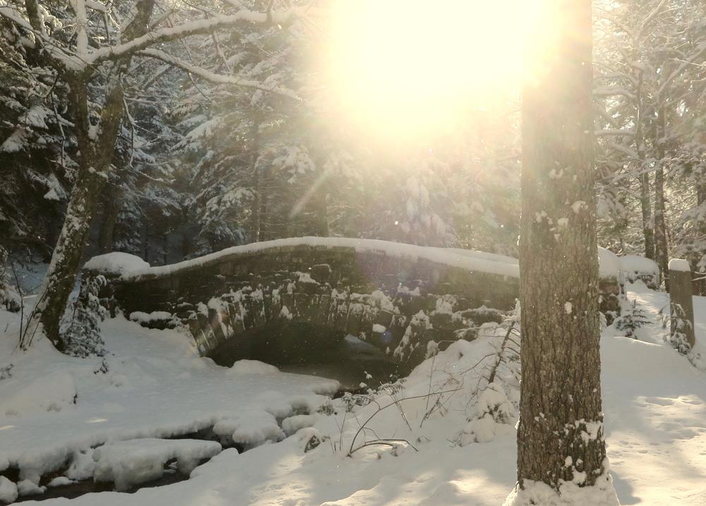
The next 0.5 miles includes a mix of woods, sporadic views, and two photo-worthy stone bridges. The final mile is a long pleasant gentle descent, with icy cliffs to the left, and to the right (west), views of and over Hadlock Pond and Somes Sound to the neighboring mountains. At 0.25 miles from its end, the route goes right at junction #19, then left at junction #20, before returning to the Brown Mountain Gatehouse parking lot.
Amphitheater Loop (5 Miles)
This lollipop loop begins from the Brown Mountain Gatehouse. From the Gatehouse, a very short stretch of carriage road leads to the first real junction (#18) with the amphitheater route to the right. It proceeds one mile over gentle ups and downs through mixed forest, with a nice view overlooking Northeast Harbor to the south near the end of this section. After this 0.9 miles, the loop part of this route begins at the next junction (#20). Proceeding counter-clockwise, the route heads to the right, heading down a long moderate descent through deciduous forest, into the amphitheater. At the bottom of the amphitheater is a low stone bridge crossing Little Harbor Brook.
From here, the route begins a moderate ascent, which continues about 0.5 miles to junction #22. The ascent continues to junction #21 and then past it, with views to the left (west) overlooking the amphitheater, for another 0.25 miles before leveling out to gentle ups and downs. This final stretch of the loop proper (1.2 miles from junction #21 to #20) passes over an impressive stone bridge at the north end of the amphitheater valley, before returning once again the junction at which the loop began (#20). The final 1.1 miles return to the Gatehouse on the same stretch on which the route began.
Around Mountain Loop (11.7 Miles / 12.8 Miles)
This loop is best started from the Brown Mountain Gatehouse or the Parkman Mountain parking lot. From the Gatehouse, a very short stretch of carriage road leads to the first real junction (#18). For a counter-clockwise circuit from the Gatehouse, the loop starts on the Amphitheater route as described above. At junction #21, instead of heading left around the amphitheater, the Around Mountain Loop heads right. This 1 mile stretch cuts across to Jordan Pond, crossing over two photogenic stone bridges, with some views through the bare deciduous trees. The route takes a left at junction #14, at south end of Jordan Pond. It continues north for 2 miles, with open views of Jordan Pond to the right (east) for the length of the pond.
After staying to the left at junction #10S, junction #10N is just beyond. At this intersection, there are two options. "Lower Around Mountain" is 1.1 miles longer, but avoids a long mountainside climb. "Upper Around Mountain" is shorter, and the spectacular views make the long climb - and sometimes bitter winds - worth the effort.
LOWER AROUND MOUNTAIN heads right at junction #10N. It proceeds downhill through the scenic and winding "Seven Bridges" section of carriage road. 1.1 miles later, after leveling out, Around Mountain goes left at junction #11, just past a small pond on the left, onto the 3.3 mile Parkman Connector. This stretch is entirely wooded, the deciduous trees transitioning to spruce and fir after about a mile. There are some very gentle ups and downs, but it is relatively flat. The Parkman Connector meets up with the Hadlock Loop at junction #13. A left here takes a steep but short 0.3 mile climb up to junction #12.
UPPER AROUND MOUNTAIN heads left at junction #10. It immediately begins climbing the side of Sargent Mountain. The climb is long, but of a moderate grade. There are two places where switchbacks ease the steeper ascents. Impressive views of the surrounding peaks and ponds are afforded from much of this section. After about 1.5 miles, the road dips down into the woods, then back up, before beginning its descent in earnest. There are views to the west for much of the way down this gentle and extended descent. Upper Around Mountain meets up with the Hadlock Loop, 3.6 miles from the diversion with Lower Around Mountain, at junction #12.
The next 0.5 miles includes a mix of woods, sporadic views, and two photo-worthy stone bridges. The final mile is a long pleasant gentle descent, with icy cliffs to the left, and to the right (west), views of and over Hadlock Pond and Somes Sound to the neighboring mountains. At 0.25 miles from its end, the route goes right at junction #19, then left at junction #20, before returning to the Brown Mountain Gatehouse parking lot.
Guidelines
Pets must be kept on a leash.
If snowshoeing or walking, please respect the skiers and the efforts of the groomers by walking on the side of the trail, rather than in the set ski tracks or the smoothed center section groomed for skate skiers.
A trail map as well as current conditions and grooming status are available on the Winter Trails Association page of the Friends of Acadia website.
About the Acadia Winter Trails Association
Started in the late 1980s as a personal mission of several local ski enthusiasts, the Acadia Winter Trails Association (AWTA) formally partnered with Friends of Acadia and Acadia National Park in 1990. FOA began providing regular financial and fundraising assistance to the loyal groomers, and the park added maintenance and other support. Gradually, homemade grooming rigs (bed springs and cinder blocks) were replaced with specialized equipment.
In 2005, the family of Elizabeth R. (Leila) Bright established an equipment fund and an endowment in Leila’s memory and in honor of her love for skiing in Acadia. These provide annual grants to underwrite the purchase and maintenance of grooming equipment, safety training and equipment, fuel, volunteer and staff training and support, and other annual and capital needs of cross-country trail grooming in the park, supporting grooming activities in perpetuity.
With the additional equipment and program support, an expanded cadre of volunteers has been able to groom more ski routes—including the Aunt Betty’s Pond, Around Mountain, and Witch Hole carriage roads—sooner, taking full advantage of Mount Desert Island’s unpredictable snow season. Two teams of volunteers now operate from bases at the Hulls Cover Visitor Center and the Brown Mountain Gatehouse, setting tracks for classic and skate-style cross country skiing on routes established in the grooming agreement with the park.
For more information, visit the Friends of Acadia website, or contact:
Follow Fire Restrictions: Maine’s dry seasons mean fire bans—always check first. Many areas of Maine will require you to have a permit for your campfire. Check here first to avoid issues later.
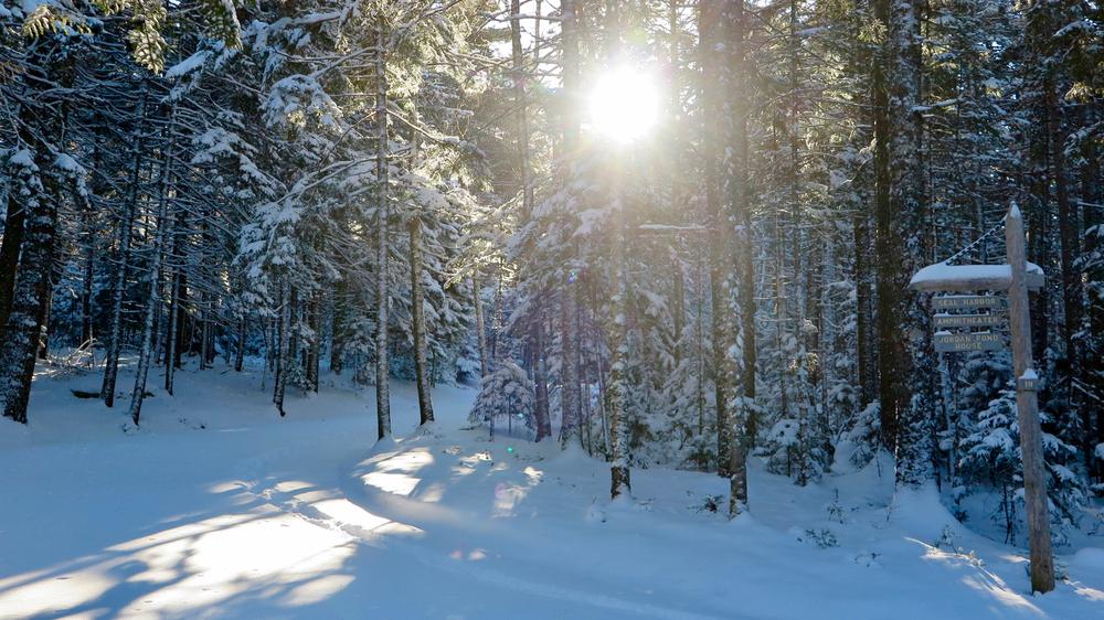
There are four places to readily access these trails. Each trailhead has a parking lot and, excepting the Visitor Center, a vault toilet.
Hulls Cove Visitor Center
From the head of Mount Desert Island, bear left at the stoplight to stay on ME-3. Go 7.6 miles on ME-3 to the Visitor Center on the right. From Bar Harbor, the Visitor Center is 2.5 miles down ME-3 from the village, on the left. The carriage roads are accessed from the right (west) side of the parking lot. The Hulls Cove Visitor Center itself is closed during the winter.
Eagle Lake Parking Lot
From the head of Mount Desert Island, bear right at the stoplight onto ME-102/ME-198. Go south for 4.3 miles to the stoplight in Somesville, and take a left onto ME-198/ME. After 1.4 miles turn left on ME-233 (Eagle Lake Road). The parking lot is 3.4 miles from the turn, on the left. From Bar Harbor, the lot is 2.5 miles on ME-233 from the village, on the right. On crowded sunny weekends this lot sometimes fills. Parking is allowed along some segments of the road but not others; please heed the "No Parking" signs and find a safe spot to fully pull off the road if the lot is full.
Parkman Mountain Parking Lot
From the head of Mount Desert Island, bear right at the stoplight onto ME-102/ME-198. Go south for 4.3 miles to the stoplight in Somesville, and take a left onto ME-198/ME towards Northeast Harbor. (From Bar Harbor, take ME-233 to reach ME-198.) Go 3.9 miles on ME-198 to the parking lot on the left.
Brown Mountain Gatehouse
From the head of Mount Desert Island, bear right at the stoplight onto ME-102/ME-198. Go south for 4.3 miles to the stoplight in Somesville, and take a left onto ME-198/ME towards Northeast Harbor. (From Bar Harbor, take ME-233 to reach ME-198.) Go 5.1 miles on ME-198 to the top of a rise, and the parking lot is on the left. The Brown Mountain Gatehouse, also on the left, is just past the parking lot.
Success! A new password has been emailed to you.