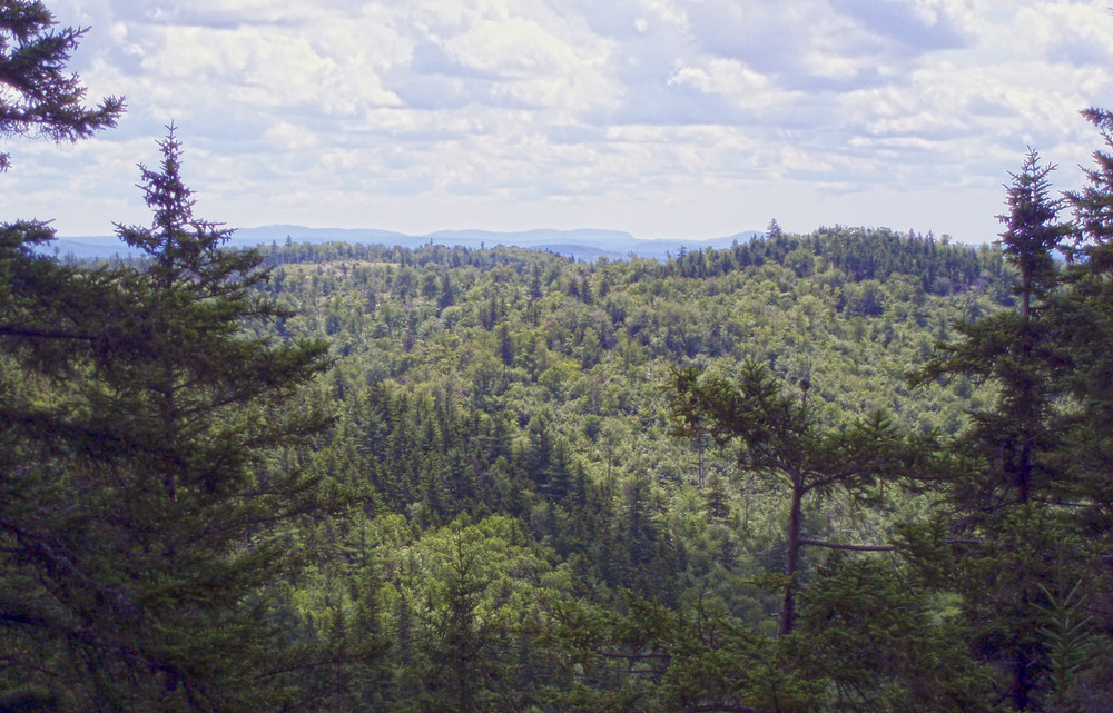
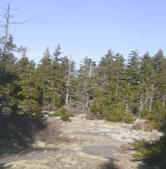
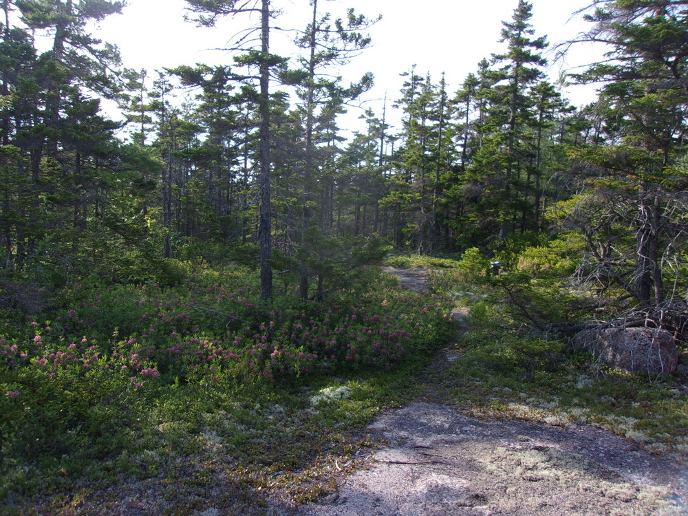
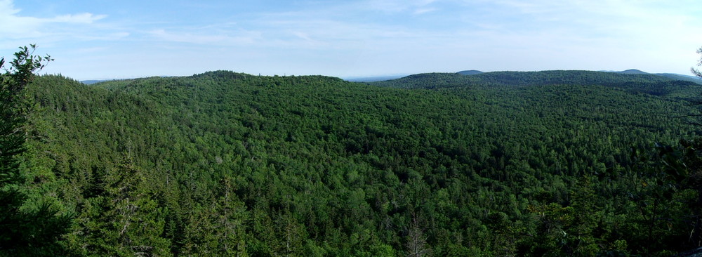
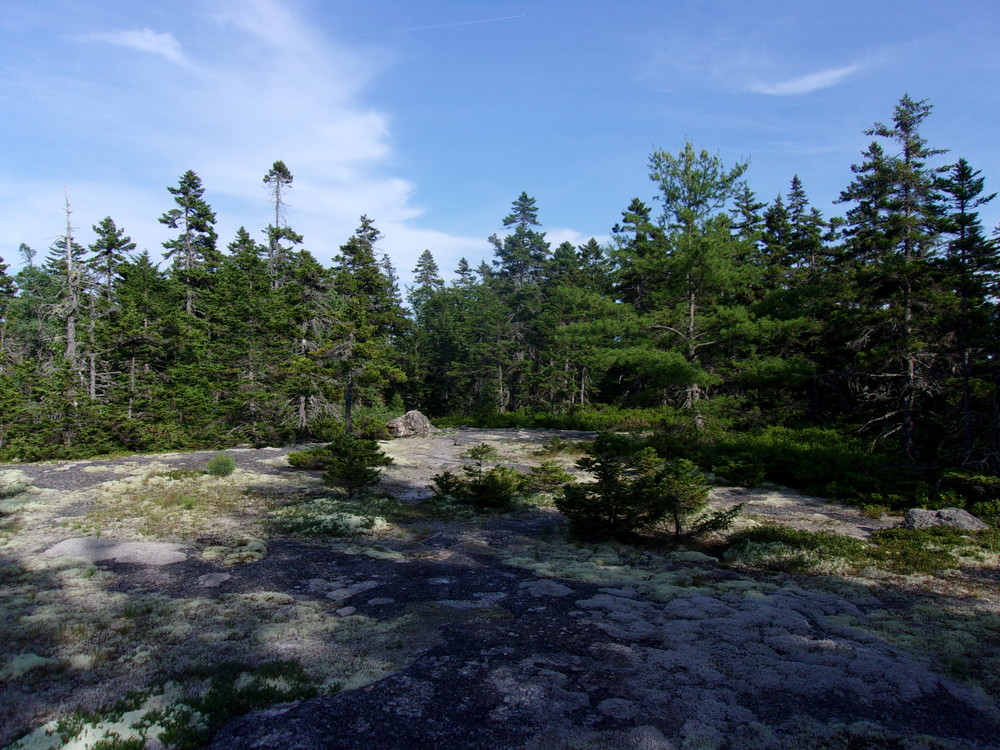
The Bald Bluff Trail provides roughly a two-mile hike loop hike including two scenic viewpoints looking over the forested hills of Amherst and beyond to the lower Penobscot River valley. The first section of trail involves some moderately steep grades, including sections of exposed ledge. The trail is quite worn and eroded in places. At approximately 0.4 miles, a 0.2-mile narrow trail juts south to an attractive viewpoint with views to the west and southwest over a rolling, forested landscape. New trail beyond this viewpoint heads roughly east for approximately 0.5-miles before reaching the eastern vista point, a ledge with south-facing views. From here, it is roughly 1 mile back to the trailhead as the footpath first winds through an open spruce-fir-broom-moss forest showing little if any signs of harvesting in recent history.
On June 18, 2009 the Bureau purchased the 4,974 acre Amherst Mountains Community Forest parcel with funding from the federal Forest Legacy Program and the Land for Maine’s Future Program. The property is to be managed through a unique state-municipal-private partnership – the Maine Bureau of Parks Lands owns the property but it will be managed jointly with the Town of Amherst, which will receive assistance from the Forest Society of Maine.

This trail passes through a property that was acquired in part with funds from the Land for Maine’s Future program. For more information about the LMF program and the places it has helped to protect, please visit the LMF webpage.
Visit Maine Bureau of Parks and Lands online for more information and a detailed trail guide or contact:
![]()
Recognize Working Forests and Waters: Maine’s landscapes are not just for recreation—they’re also active, productive environments that support local livelihoods and communities. Forests may be actively logged; waterways are used for lobstering, clamming, aquaculture, and transport. For everyone’s safety, maintain a safe distance from active logging operations, and do not disturb working docks, fishing equipment, traps or buoys.
The Amherst Mountains Community Forest property is accessed via ME-9 ("the Airline") in the Town of Amherst. Look for a blue yard-arm sign indicating the access road for the property, which is on the north side of the road. Shortly after turning onto the gravel access road listed on Google Earth and DeLorme atlases as the Ducktail Pond Road, there is a set of signs with distances to recreation sites listed. Continue past the Ducktail and Partridge Ponds trailheads passed at approximately 2 miles and take a left onto the 22-00-0 road (unmarked) at a road split at 3.8 miles. At 5.5 miles, cross a small stream next to a swamp with standing dead timber. The trailhead is just ahead of this wetland, at approximately 6.1 miles. The trailhead is on private land; please use the site responsibly and avoid leaving any trash, etc.
Success! A new password has been emailed to you.
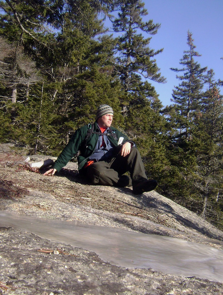
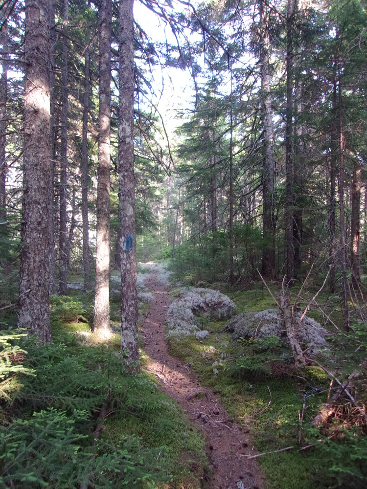
Missed the trailhead as it's not marked coming northbound; absentmindedly went up a false trail that starts near the parking area and continues on for about 100-150 yards before hitting a deadfall. Actual trailhead starts right at the sign for Bald Bluff, and the duration of the trail is pretty well marked with blue paint. Initial climb into the woods is a bit steep, but levels off considerably in the area where the loop starts. Black flies (while annoying) were nowhere near as bad as Sunkhaze. The scenic overlook that faces south is a gorgeous sight. Hike back down is fairly easy as long as you're mindful of the rocks. A good time overall, would do it again.
Does anyone know the name of the mountain with the radio tower that appears in the far distance of the southern-facing scenic overlook?