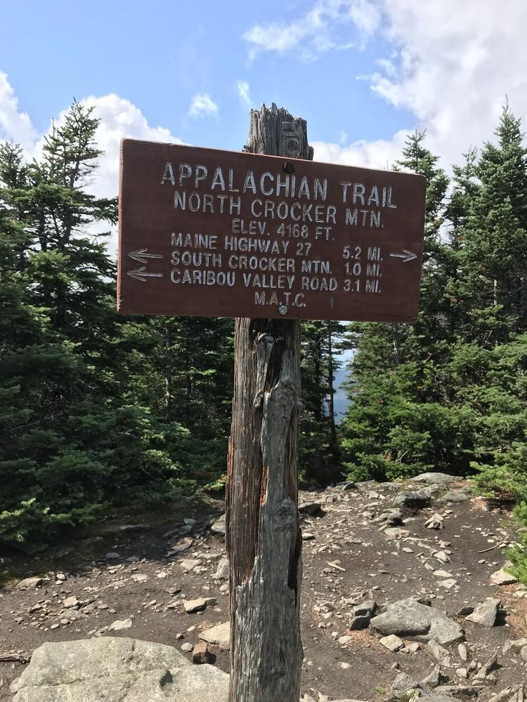
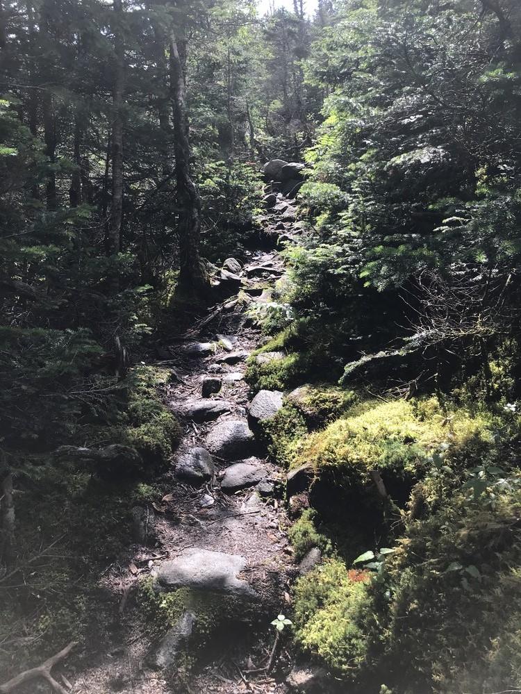
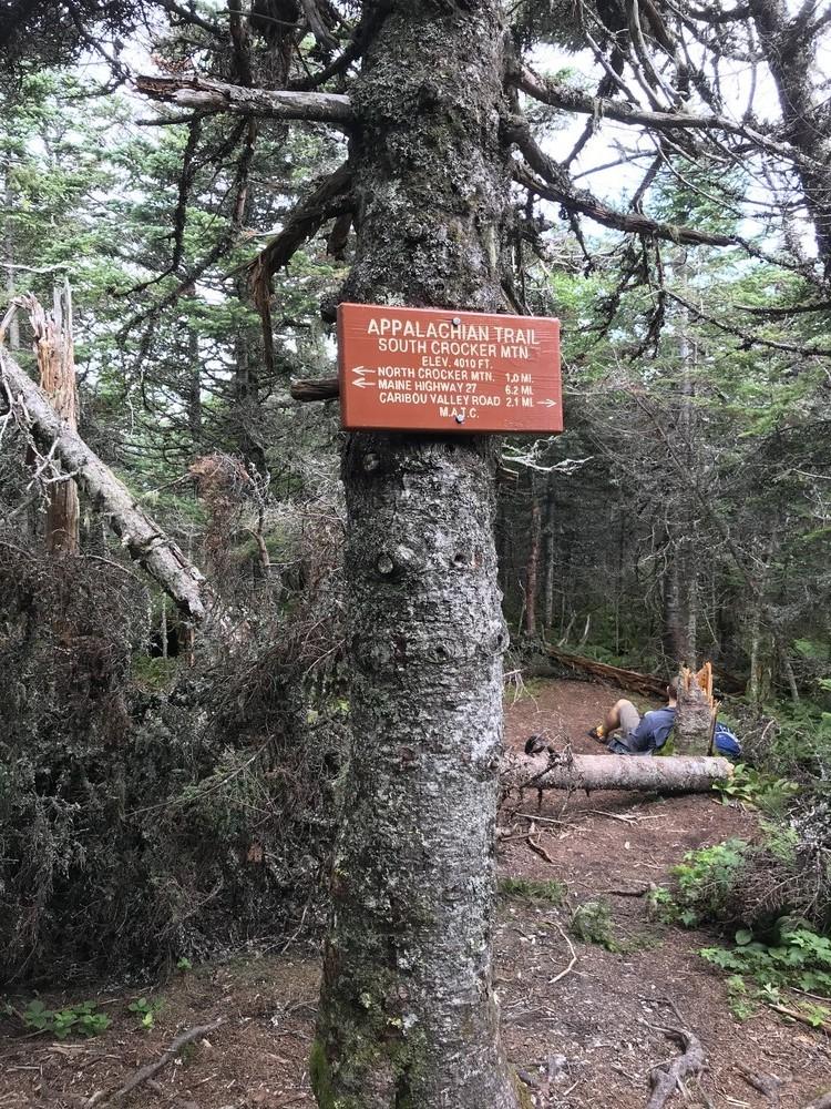
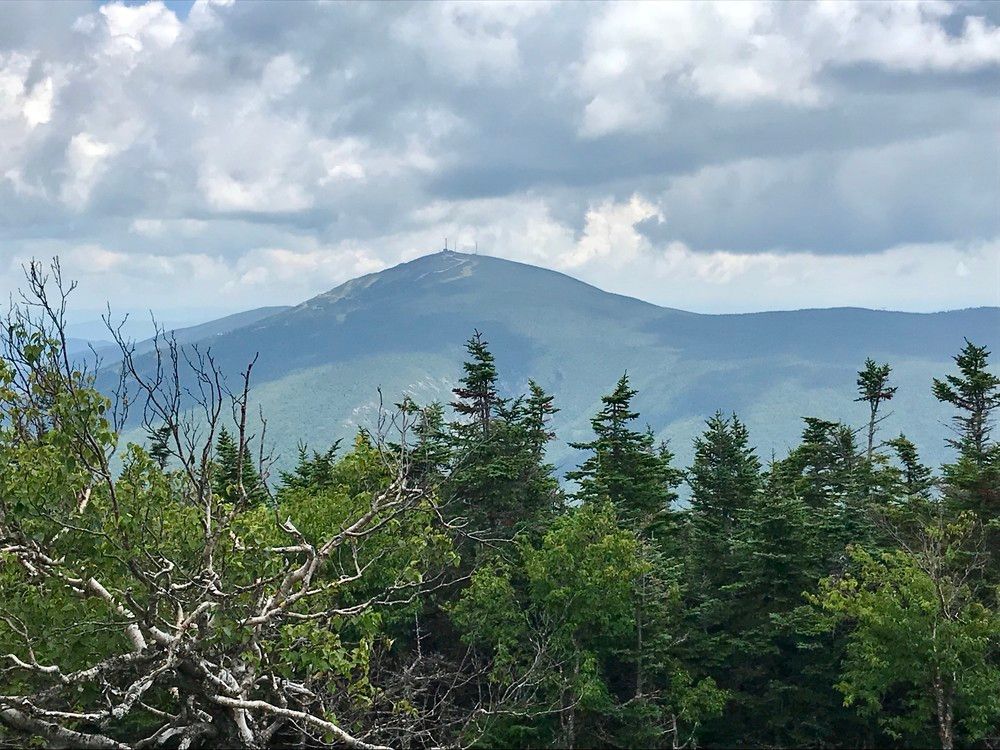
Southbound hikers start a long moderate ascent of the north-south ridge forming Crocker Mountain reaching, in 1.4 miles, a knob on the ridge with limited views. A further 3.5 miles and hikers enjoy open views of the Bigelow Range and Stratton on their way to the wooded summit of North Crocker Mountain (4228') with limited views. After hiking through the saddle between the North and South Peaks of Crocker Mountain, hikers pass a side trail (150') near the summit of South Crocker (4010') which leads to the rocky outcrop which is the true summit of the South Peak. Hike through a steep rocky area on the side wall of the Cirque. At the floor of a large glacial cirque is the 0.2 mile side trail to Crocker Cirque Campsite. Hiking southbound 1.0 mile brings you to the Caribou Valley Road which affords the “loop” option in either direction.
The Crocker Cirque Loop (15 miles returning to the A.T./ME 27/16 crossing) is created by hiking the Caribou Pond Road, aka Caribou Valley Road, described in the Trailhead section above and in the More Information section below in conjunction with the Appalachian Trail. An ambitious and strenuous hike, with an approximate elevation gain of 2000 feet this hike is best enjoyed over a two day period.
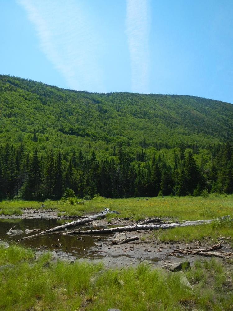
The Caribou Pond Road is, at most, a 4.3 mile walk parallel with the A.T. and in the shadow of Crocker Mountain. There are bridge crossings in various stages of disrepair, this road will take you to the foothills of the North Peak (4228') of Crocker. Starting from an elevation of about 1600' you will ascend to about 2000' when you reach the A.T. crossing.
If entering using the Caribou Pond Road, at the junction of the Caribou Pond Road and the A.T. you will turn right, or northbound on the A.T. toward the Crocker Cirque Campsite. This is a convenient spot to spend a relaxing night and explore the Cirque. There are tent platforms, a fire-place and a privy located at this campsite. Crocker Cirque is the result of glacial activity that carved out a naturally occurring bowl, in the shape of an amphitheater, on its way down from South Crocker. If you use this then the hike needs to be changed to a "round trip" of 15 miles.
Do not underestimate the difficulty of hiking the mountains of Western Maine. Be sure to carry equipment and supplies necessary for this undertaking. If you do not have the information or skills, be sure to research and educate yourself in order to have an enjoyable and safe hike. Be very aware of past, present, and predicted weather.
Fires are only allowed in the provided fireplace ring at the Crocker Cirque Campsite. In the state of Maine, it is illegal to build a fire anywhere except within a certified fire ring. Camping is not allowed above the tree line (a very delicate and vulnerable area to hike in), please stay on the trail.
The Maine Appalachian Trail Club (MATC) is an all volunteer organization that exists to maintain and protect the 267-mile section of the Appalachian Trail in Maine extending between Katahdin in Baxter State Park and Grafton Notch at ME Route 26. In addition, MATC maintains over 60 miles of side trails as well as a system of regularly spaced shelters and campsites in order that wild, backcountry hiking remains accessible in Maine. MATC publishes The Official Appalachian Trail Guide to Maine, which includes seven maps, please visit their website for information on how to purchase the guide or to learn more about becoming a member of MATC.
Please contact the Bigelow District Overseer by email (bigelow@matc.org) to report any trail or shelter conditions that may require maintenance or special attention.
Visit Maine Appalachian Trail Club online for more information or contact:

Yield to Others on Trails: Uphill hikers, equestrians, and working vehicles or equipment have the right of way.
There are two access points to this trail loop. One is the Appalachian Trail and ME Routes 16/27 crossing, 18 miles north of the junction of ME Routes 16 and 27 in the town of Kingfield or 5.2 miles south of the junction of ME Routes 16 and 27 in the village of Stratton. Park in the lot on the west side of ME Routes 16/27. In the winter, a small portion is plowed. Please park in the parking area. The other is the Caribou Pond Road, aka Caribou Valley Road, an old, deteriorating logging road, located about 1.75 miles south of the A.T. crossing heading towards Kingfield or 1.0 mile north of the Sugarloaf ski area access road.
NOTE: The road conditions of the Caribou Pond Road, aka Caribou Valley Road, vary greatly and are always questionable due to the lack of maintenance and weather conditions. If, at your own risk, you do attempt to use the road for vehicular travel, be sure to pull completely off of the road to park. Otherwise, it is recommended for foot travel. From ME Routes 16/27 to where the A.T. crosses is 4.3 miles. If making a loop of the trail with this road, total distances will be closer to 15 miles.
Success! A new password has been emailed to you.