This is an ambitious and strenuous hike; the 7th edition of the Maine Guide to the Appalachian Trail states "the length of the section is no criterion of the effort involved." At the junction of the Caribou Pond Road (also called Caribou Valley Road) and the A.T. turn left or southbound on the A.T. From this point to the summit, there is an elevation gain of approximately 2200 feet.
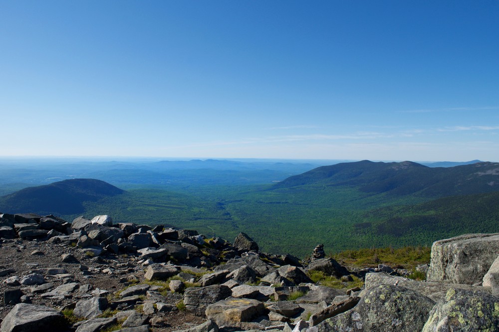
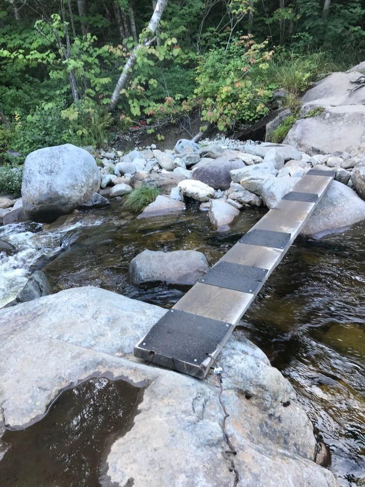
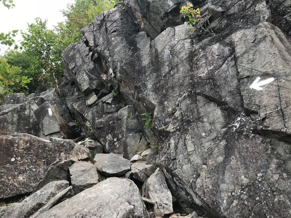
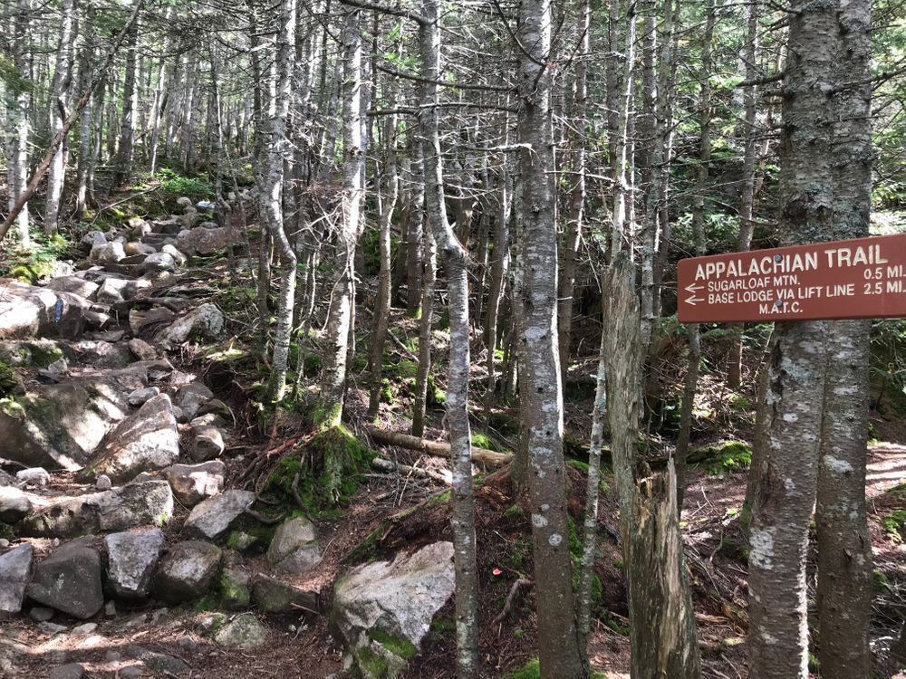
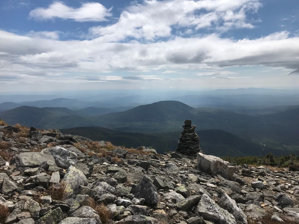
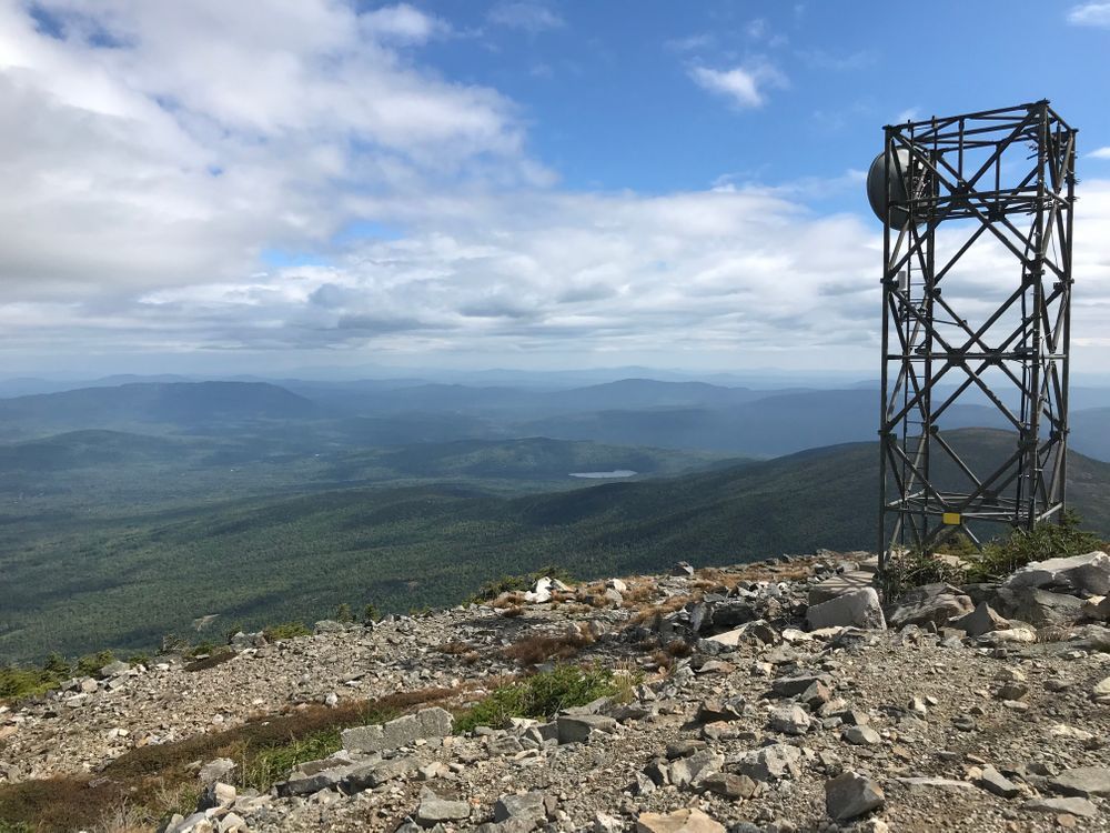
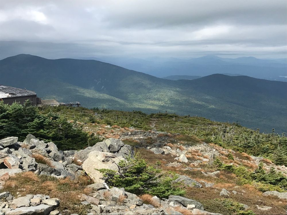
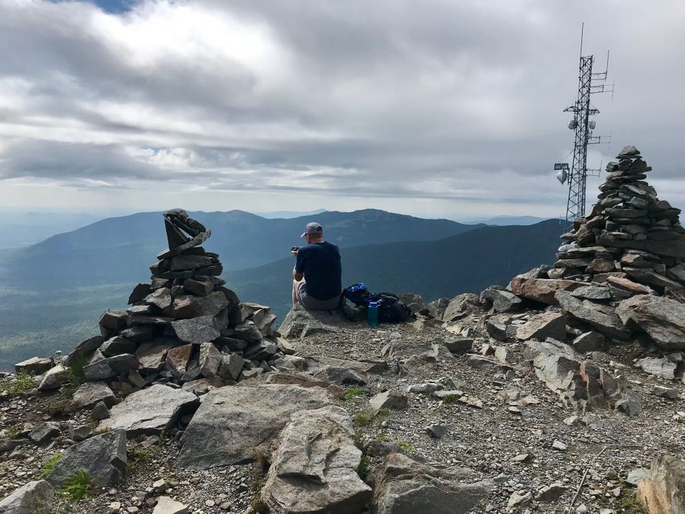
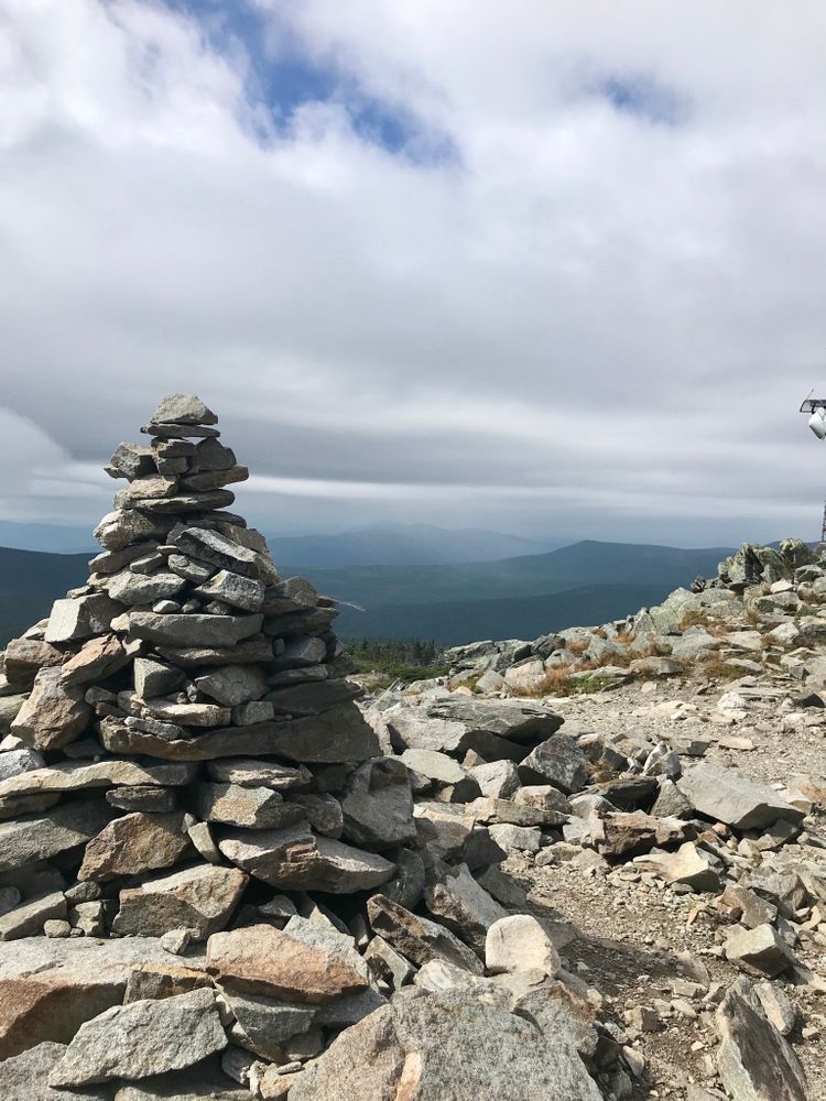
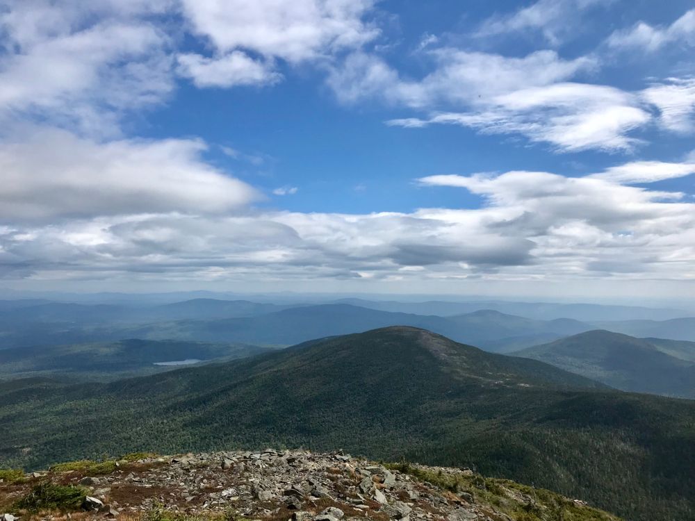
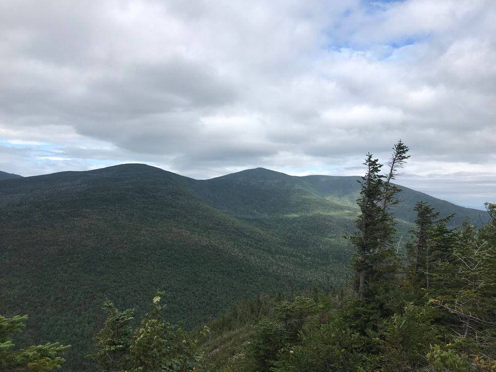
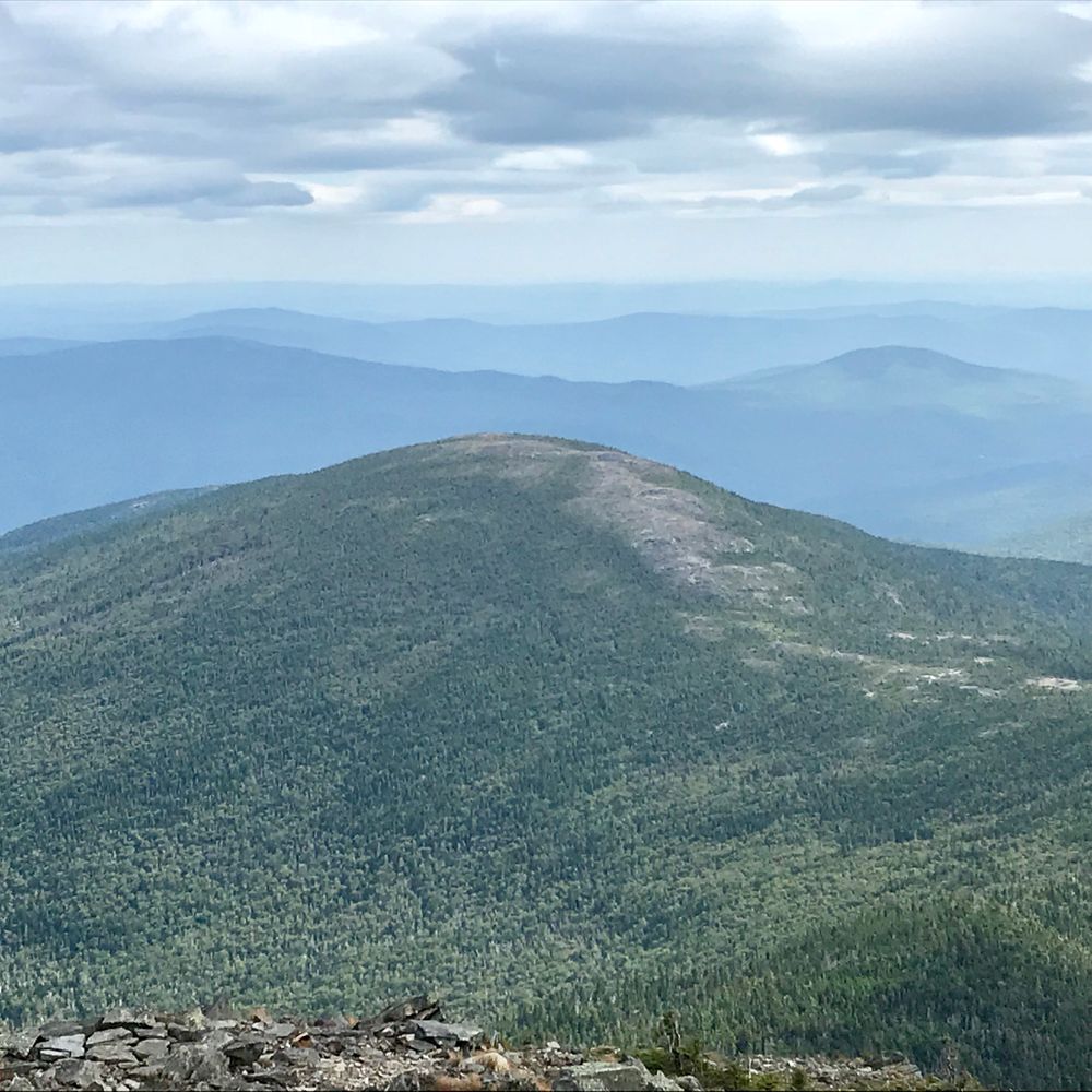
In 0.1 miles a ford of the South Branch of the Carrabassett River is required (crossing can be dangerous in high water). The trail is steep at first but at about halfway up the mountain it becomes slightly flatter until the junction with the blue-marked Sugarloaf Mountain side trail on the left (1.9 miles from Caribou Pond Road). It is another 0.6 miles to the summit were hikers are rewarded on a clear day by expansive views of the surrounding area. The summit has a symmetrical, bare cone, which gives the mountain its name.
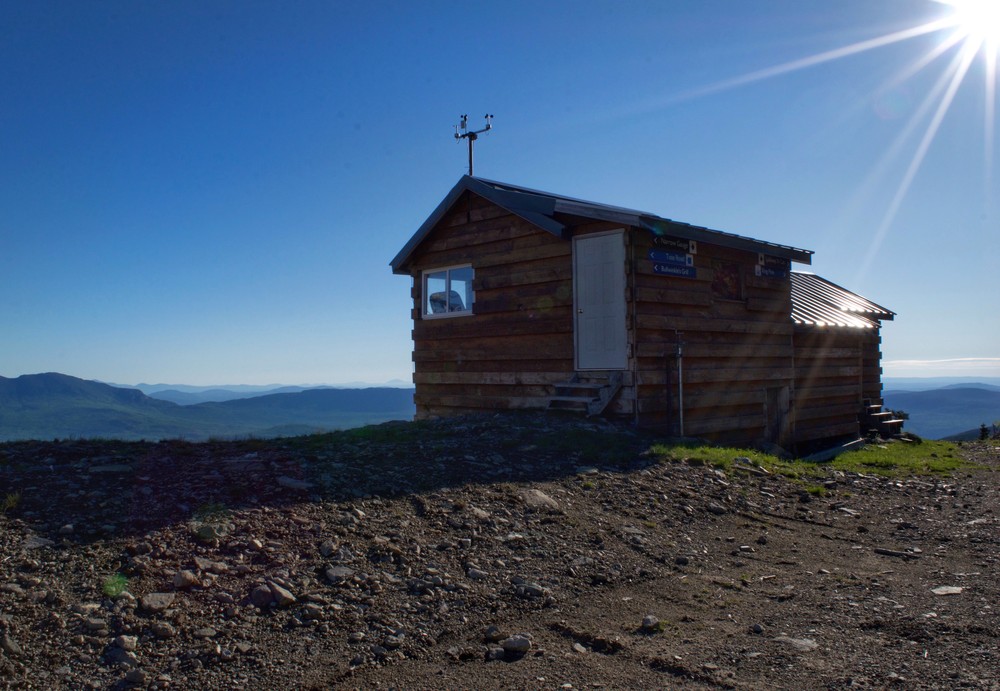
At one time, the Appalachian Trail in Maine passed over the summit of Sugarloaf Mountain, Maine's second highest mountain (4237'). There was also a lean-to near the summit, but this was moved along with the trail during the major relocation from 1971-1974 to avoid conflicts with the ski area on the northern side of the mountain.
Do not underestimate the difficulty of hiking the mountains of Western Maine. Be sure to carry equipment and supplies necessary for this undertaking. If you do not have the information or skills, be sure to research and educate yourself in order to have an enjoyable and safe hike. Be very aware of past, present, and predicted weather. Though the preserve is managed only for summer-time uses, winter uses like cross-country skiing, snowshoeing, and winter camping are allowed and popular.
Fires are only allowed in the provided fireplace ring at the Piazza Rock Lean-to. In the state of Maine, it is illegal to build a fire anywhere except within a certified fire ring. Camp stoves are permitted. Camping is not allowed above the tree line (a very delicate and vulnerable area to hike in), please stay on the trail.
The Maine Appalachian Trail Club (MATC) is an all volunteer organization that exists to maintain and protect the 267-mile section of the Appalachian Trail in Maine extending between Katahdin in Baxter State Park and Grafton Notch at ME Route 26. In addition, MATC maintains over 60 miles of side trails as well as a system of regularly spaced shelters and campsites in order that wild, backcountry hiking remains accessible in Maine. MATC publishes The Official Appalachian Trail Guide to Maine, which includes seven maps, please visit their website for information on how to purchase the guide or to learn more about becoming a member of MATC.
Please contact the Bigelow District Overseer by email (bigelow@matc.org) to report any trail or shelter conditions that may require maintenance or special attention.
Visit Maine Appalachian Trail Club online for more information or contact:

Use Fire Rings: Only build fires in approved sites.
There are two access points to this trail loop. One is the via the Appalachian Trail southbound from the Appalachian Trail/ME Route 27 crossing (over the Crocker Mountain Cirque). The A.T. crossing is 18 miles north of the junction of ME Routes 16 and 27 in the town of Kingfield or 5.2 miles south of the junction of ME Routes 16 and 27 in the village of Stratton. Park on the old road on the west side of ME Route 27. The other trailhead is the Caribou Pond Road, aka Caribou Valley Road, an old, deteriorating logging road, located about 1.75 miles south of the A.T. crossing heading towards Kingfield or 1.0 mile north of the Sugarloaf ski area access road.
NOTE: The road conditions of the Caribou Pond Road, aka Caribou Valley Road, vary greatly and are always questionable due to the lack of maintenance and weather conditions. If, at your own risk, you do attempt to use the road for vehicular travel, be sure to pull completely off of the road to park. Otherwise, it is recommended for foot travel. From ME Route 16/27 to where the A.T. crosses is 4.3 miles. Trip distances will vary depending on how close you are able to get to the trailhead. 5.3 miles round-trip is from the A.T.'s intersection with Caribou Pond Road, but round trip distances could be as much as 14 miles.
Success! A new password has been emailed to you.