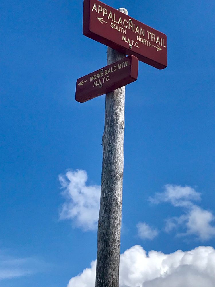
From the parking area on Troutdale road, walk north on the road a very short distance until you see the brown and white MATC trail sign. Turn right onto the A.T.
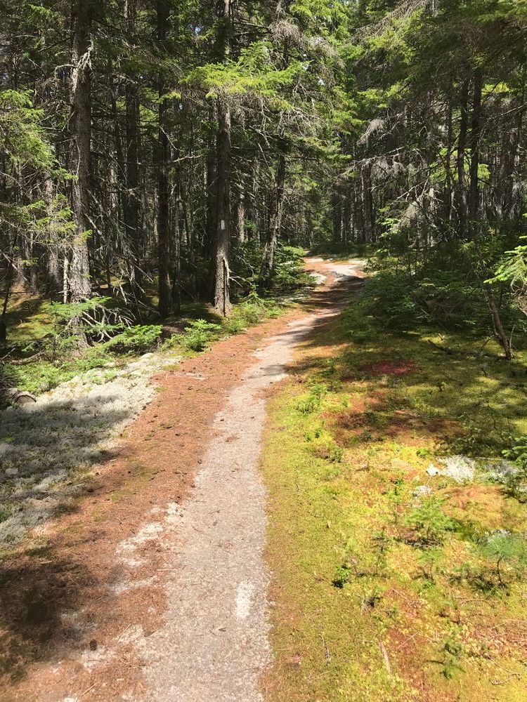
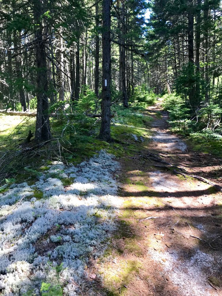
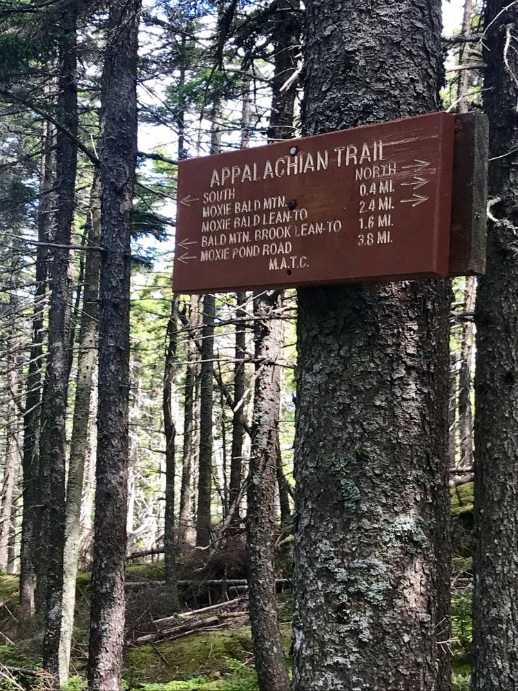
After crossing Baker Stream at Joe's Hole (a ford at high water), the trail climbs moderately through mixed forest to Bald Mountain Brook. Bald Mountain Brook Lean-to is located on a blue-blazed side trail that intersects with the A.T. just after the brook crossing. Downhill from the lean-to, the brook follows a series of pretty cascades.
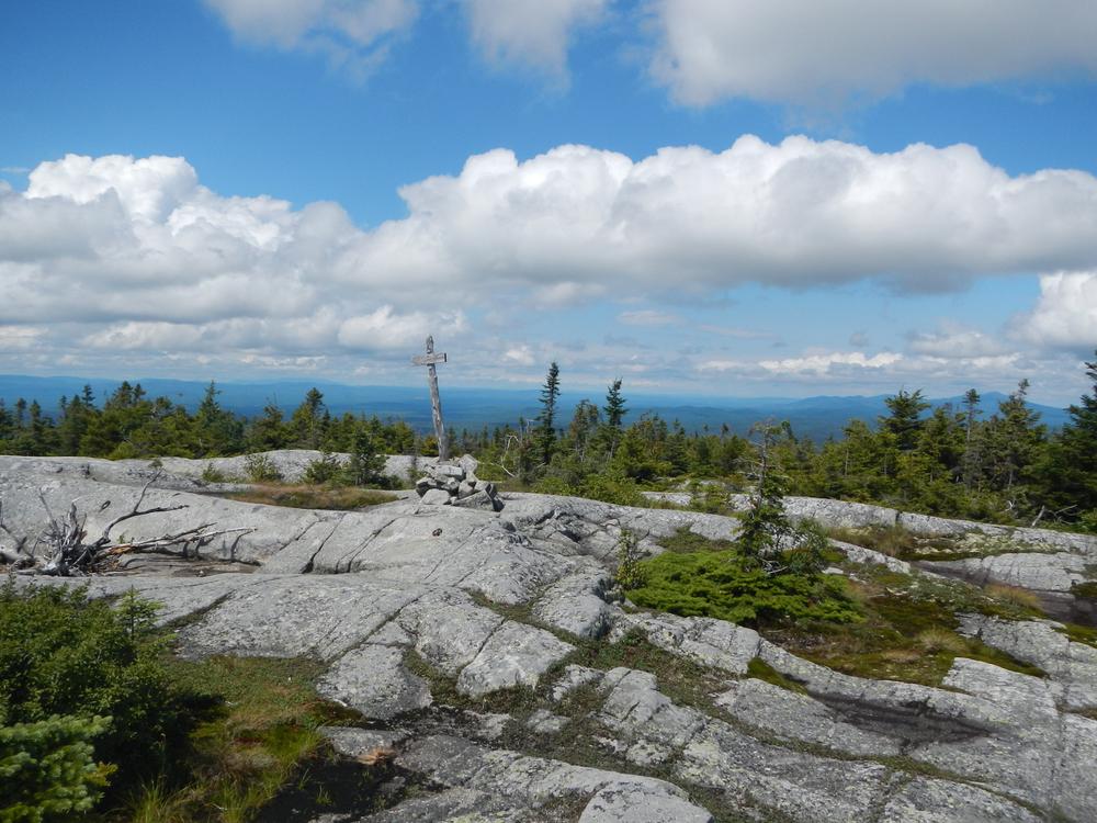
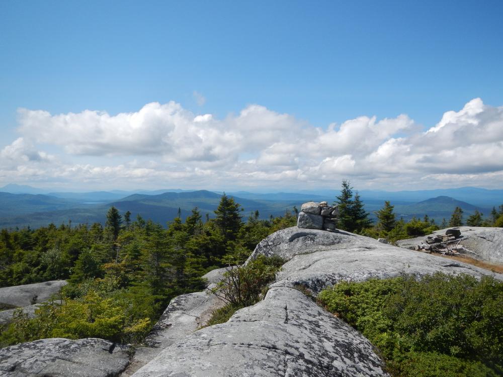
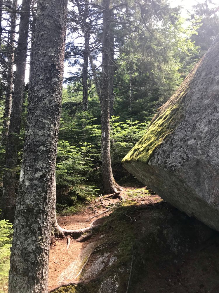
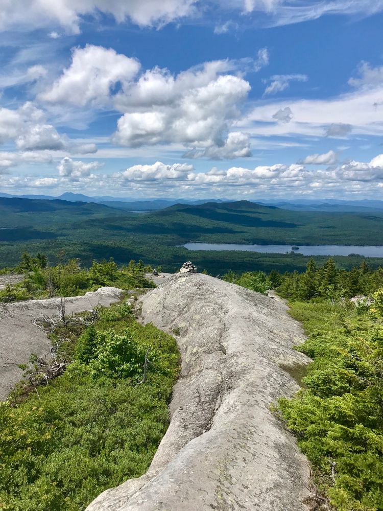
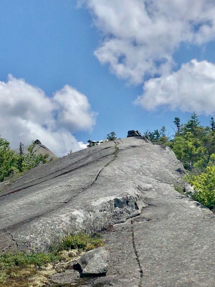
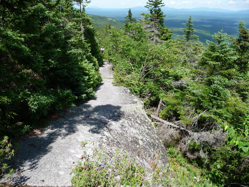
The A.T. crosses an ATV trail/logging road a couple hundred feet beyond the lean-to side trail and then starts rising steeply toward Moxie Bald Summit. Just over a mile past the lean-to, there is a foul weather bypass trail to the left. It connects back to the A.T. north of the exposed summit. The last quarter mile to Moxie Bald summit is quite steep and follows exposed ledges. The trail is marked by cairns.
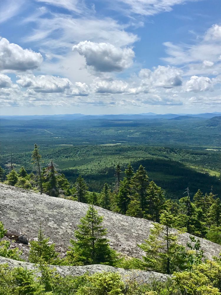
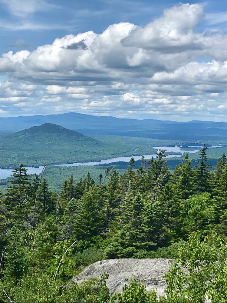
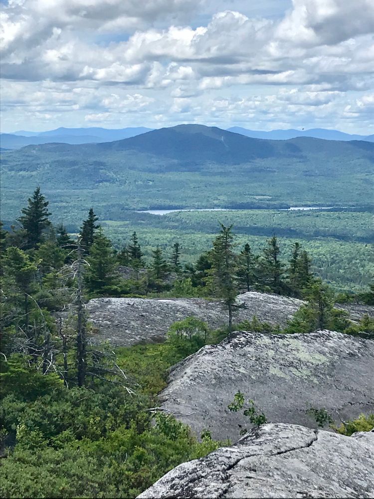
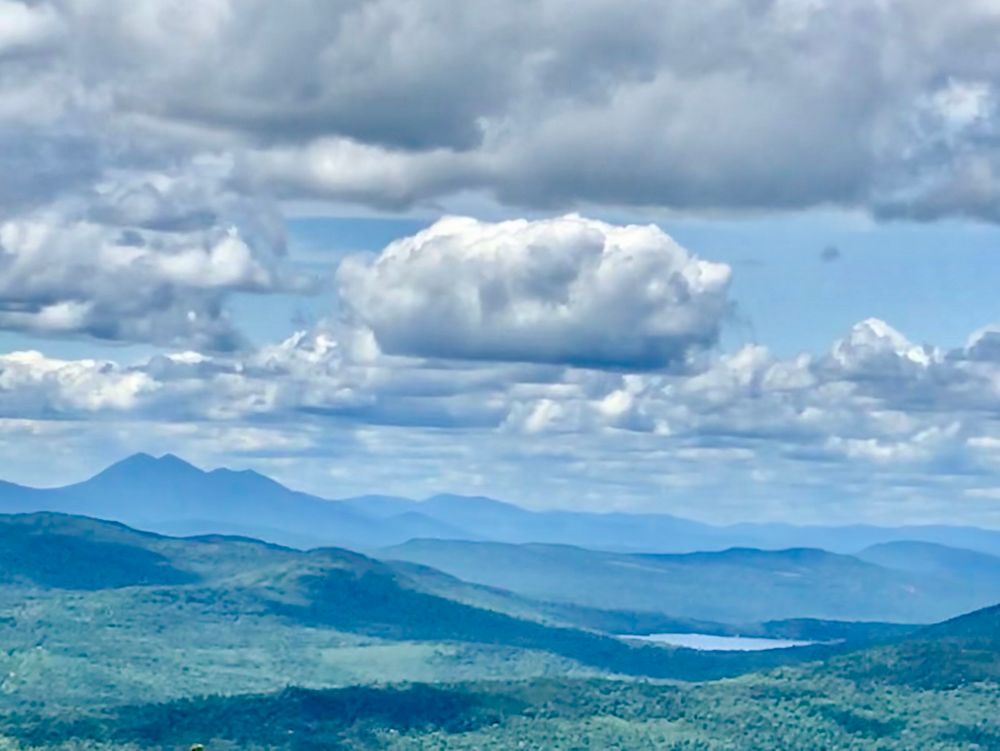
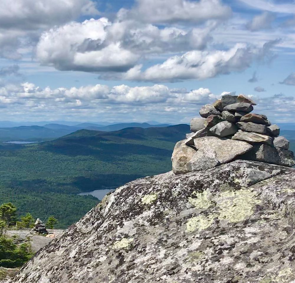
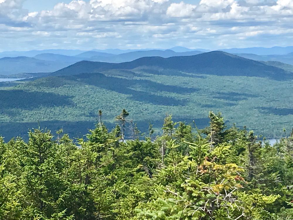
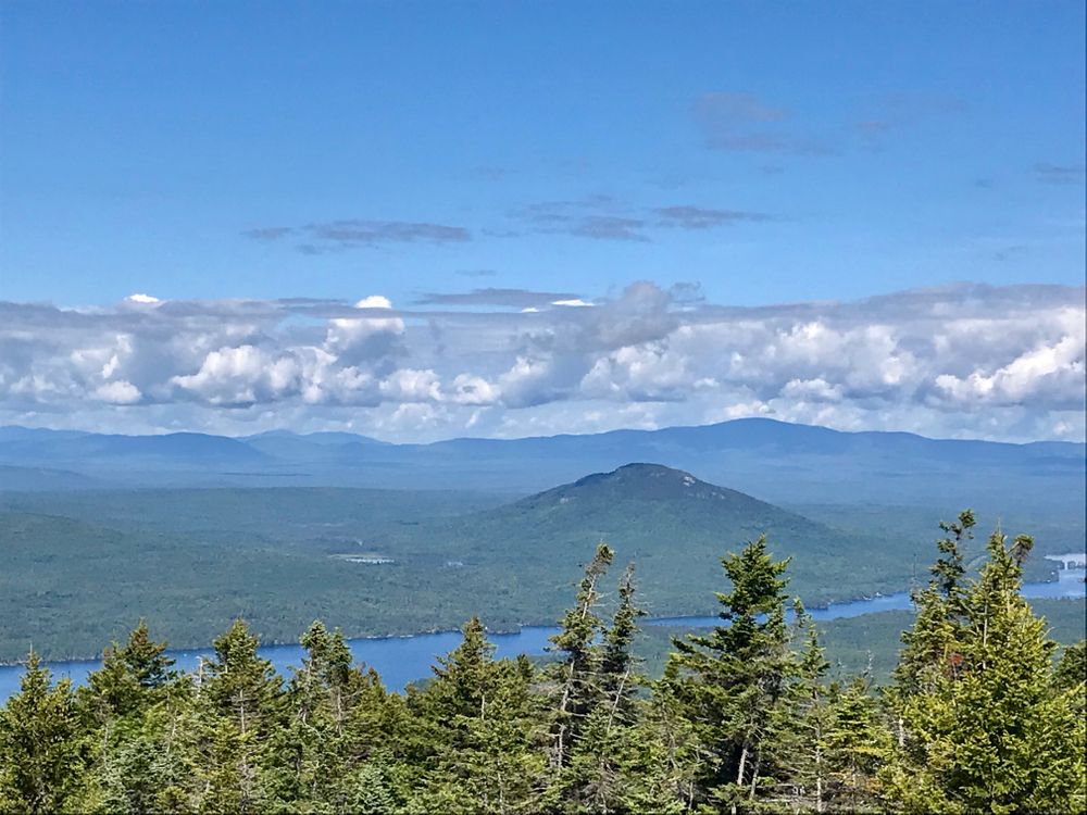
From the summit, hikers can look to the west toward Maine's High Peaks in the distance and Moxie Pond in the foreground. Bald Mountain Pond is to the southwest.
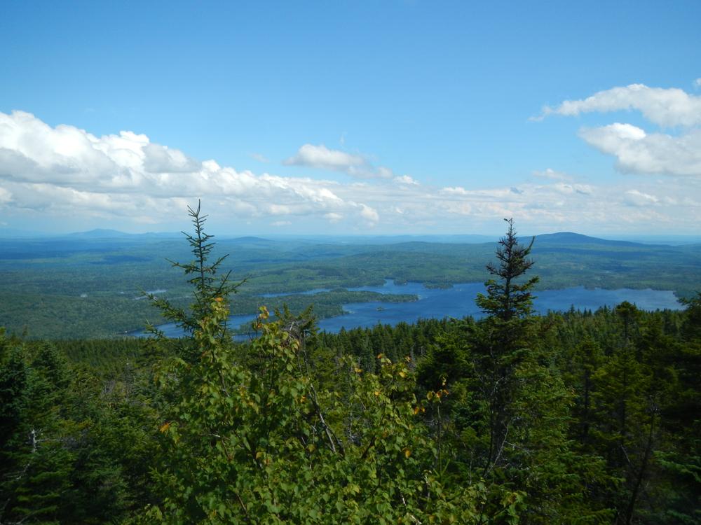
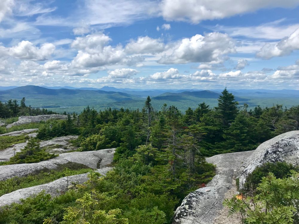
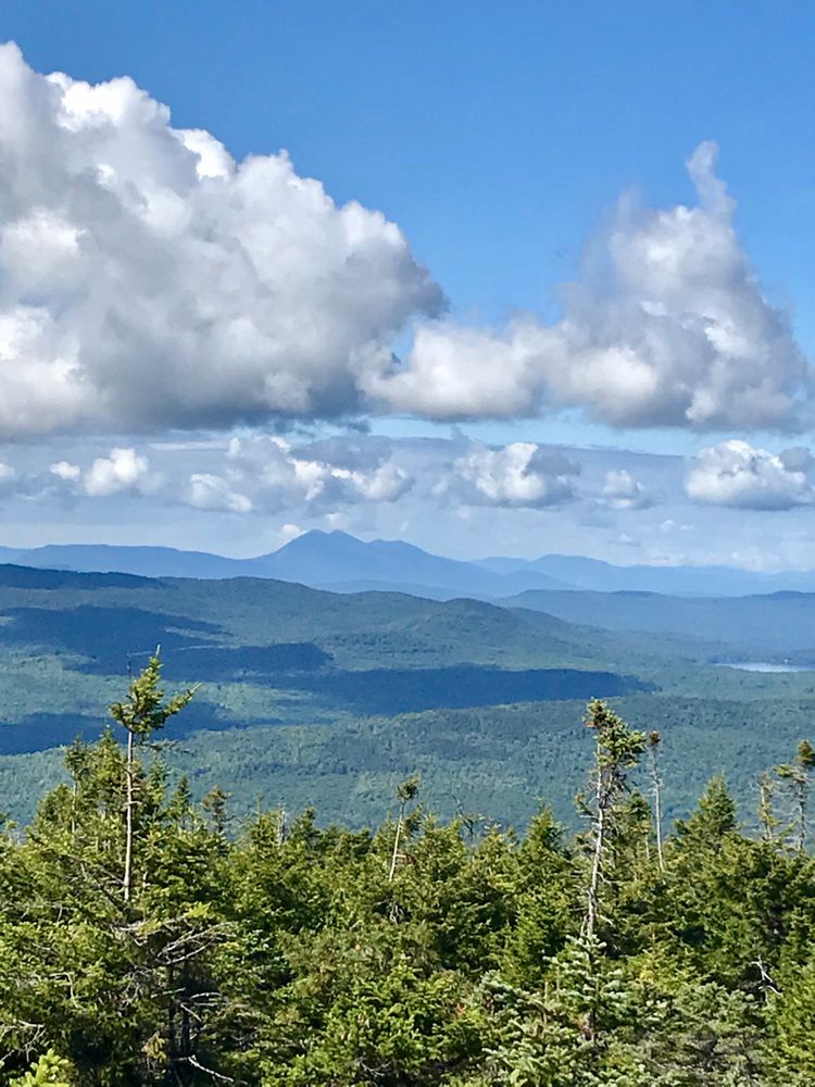
The trail continues past the summit across a high elevation bog and along ledges to the intersection with the North Peak Trail. The summit of North Peak, 0.7 miles down the blue-blazed and cairn-marked side trail, is exposed and affords hikers views of the Moosehead Lake region to the north. Hikers should take care to stay on the marked trail to avoid damaging high elevation plants.
Do not underestimate the difficulty of hiking the Appalachian Trail (A.T.) in Maine. Be sure to carry equipment and supplies necessary for this undertaking and be prepared for challenging weather conditions. Please educate yourself before hiking, so that you can have the knowledge and skills necessary for an enjoyable and safe hike. Fires are only allowed in the provided fireplace ring at established campsites; it is illegal in Maine to build a fire elsewhere.
The Appalachian National Scenic Trail runs from Maine to Georgia along the spine of the Appalachian Mountains. It is managed cooperatively by the National Park Service, the Appalachian Trail Conservancy, and 31 trail-maintaining clubs along with other federal and state land managers whose land the trail crosses. Over 3 million people visit the A.T. every year. Since its inception in the 1920s, thousands of volunteers have worked tirelessly to maintain, manage, and protect the Appalachian Trail.
In Maine, the all-volunteer Maine Appalachian Trail Club (MATC) maintains and protects the 267-mile section of the Appalachian Trail extending from Katahdin in Baxter State Park to Grafton Notch at ME-26. In addition, MATC maintains over 60 miles of side trails as well as a system of regularly-spaced shelters and campsites to preserve access to wild, backcountry hiking in Maine. MATC publishes The Official Appalachian Trail Guide to Maine, which includes seven maps, please visit their website for information on how to purchase the guide or to learn more about becoming a member of MATC.
Visit Maine Appalachian Trail Club online for more information or contact:

Travel Thoughtfully Through Maine’s Towns: Responsible visitation makes a difference in town, too. Some Maine communities have local norms for respectful visitors. Among other things, parking in designated spots is essential. Please also be respectful of pedestrians, cyclists and speed limits when in town.
From US-201 in Bingham, turn right (east) on ME-16 and drive 5.3 miles. Turn left on Town Line Road. Begin new mileage here. At 0.7 miles, bear right at a fork. Turn right at a T-intersection at 2.6 miles. At 4.8 miles, bear right at another fork. This is Troutdale road. Reach the A.T. trailhead and parking at 11.2 miles from ME-16.
Success! A new password has been emailed to you.