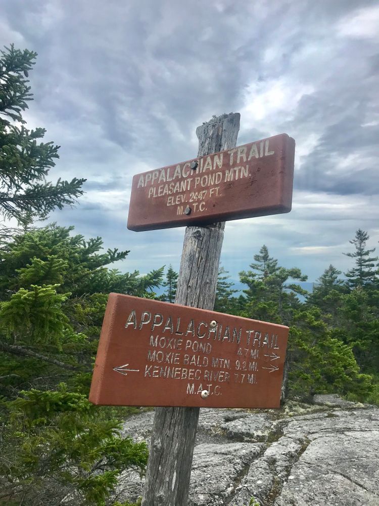
From the west: (1.7 miles one-way) Follow the Appalachian Trail from the parking area and past a side trail leading to the Pleasant Pond Lean-to, after 0.3 miles. Pass another side trail leading 0.2 miles to a small sand beach on Pleasant Pond (which is also accessible from the lean-to). The rocky trail leads steeply uphill through dense woods. The trail climbs over rock ledges which open up for great views at the summit and site of the former fire tower.
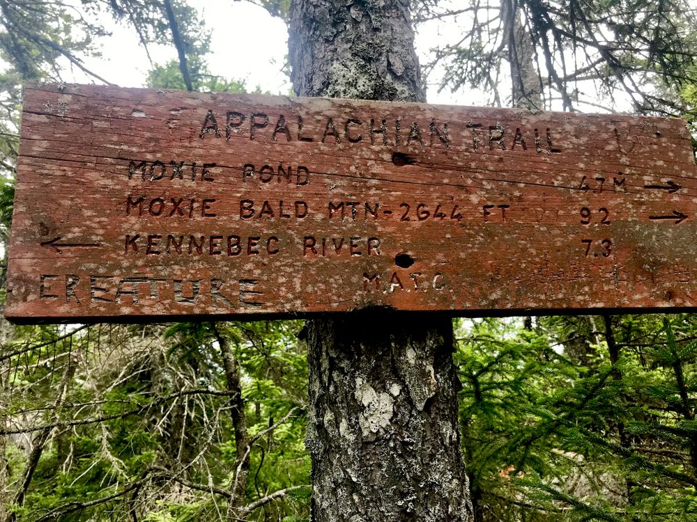
From the east: (4.7 miles one-way) Walk north from the parking area along Troutdale Road for 0.2 miles to where the trail leads west up the mountain from a spot near Joe's Hole at the southern end of Moxie Pond. At 0.1 miles, the trail crosses under a powerline, then passes through a low area of beaver bogs. The trail crosses a brook at 0.5 miles. Beyond, the trail ascends over Middle Mountain and to the long southerly ridge of the mountain, which the trail follows until finally reaching the open summit.
Hikers may also choose to set a shuttle and hike from one trailhead to the other, enjoying the summits of Pleasant Pond and Middle Mountains (6.4 miles).
Do not underestimate the difficulty of hiking the Appalachian Trail (A.T.) in Maine. Be sure to carry equipment and supplies necessary for this undertaking and be prepared for challenging weather conditions. Please educate yourself before hiking, so that you can have the knowledge and skills necessary for an enjoyable and safe hike. Fires are only allowed in the provided fireplace ring at established campsites; it is illegal in Maine to build a fire elsewhere.
The Appalachian National Scenic Trail runs from Maine to Georgia along the spine of the Appalachian Mountains. It is managed cooperatively by the National Park Service, the Appalachian Trail Conservancy, and 31 trail-maintaining clubs along with other federal and state land managers whose land the trail crosses. Over 3 million people visit the A.T. every year. Since its inception in the 1920s, thousands of volunteers have worked tirelessly to maintain, manage, and protect the Appalachian Trail.
In Maine, the all-volunteer Maine Appalachian Trail Club (MATC) maintains and protects the 267-mile section of the Appalachian Trail extending from Katahdin in Baxter State Park to Grafton Notch at ME-26. In addition, MATC maintains over 60 miles of side trails as well as a system of regularly-spaced shelters and campsites to preserve access to wild, backcountry hiking in Maine. MATC publishes The Official Appalachian Trail Guide to Maine, which includes seven maps, please visit their website for information on how to purchase the guide or to learn more about becoming a member of MATC.
Visit Maine Appalachian Trail Club online for more information or contact:

Respect Maine’s “Open Land” Tradition: In many places, private landowners allow recreational access. Show your appreciation by seeking permission, treading carefully, and educating yourself on this uniquely Maine tradition.
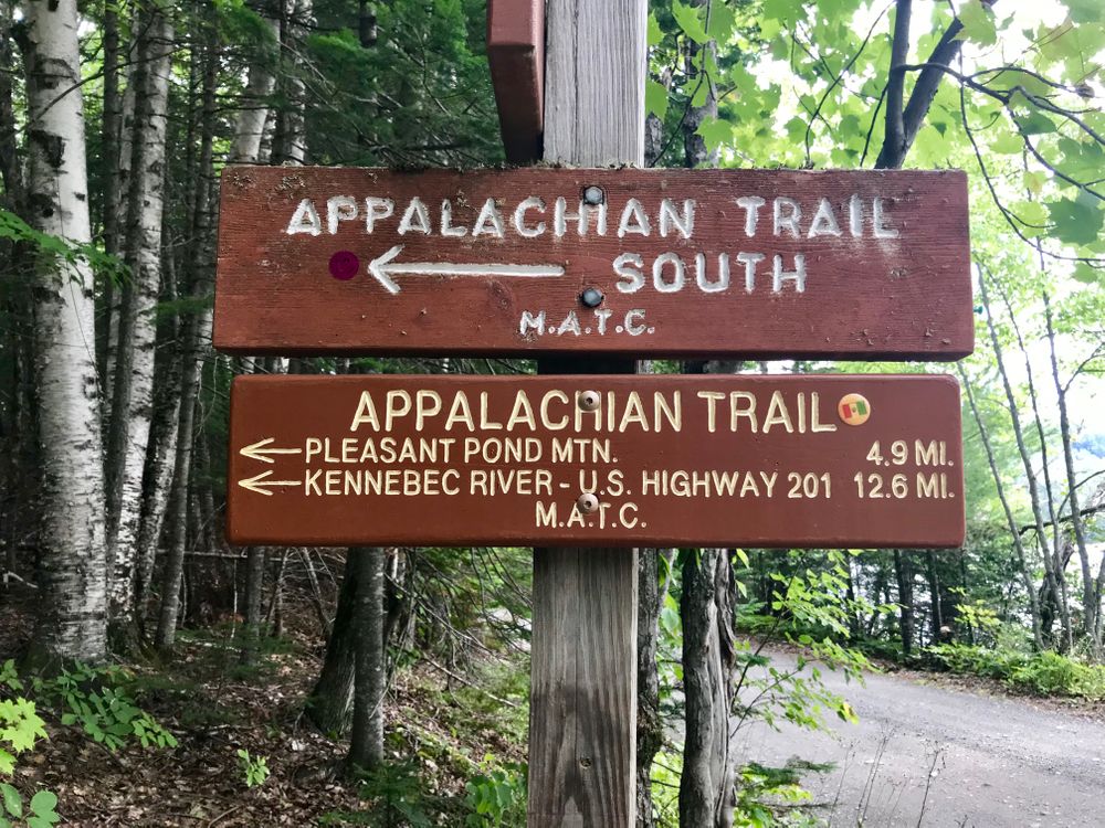
Pleasant Pond Mountain is accessible by hiking the Appalachian Trail from the west (Northbound AT) or east (Southbound AT) to reach the summit.
To summit from the west: Travel 14 miles on US-201 north of the US-201/ME-16 junction in Bingham. Turn right at a sign for Caratunk and Pleasant Pond. Proceed 0.8 miles to Caratunk Village, then turn right and head uphill on Pleasant Pond Road. At 3.9 miles, take the left fork onto North Shore Road. At 4.2 miles, the pavement ends. At 5.3 miles, bear right into the woods where Boise Crossover Road bears left. Trailhead parking signs become evident as you proceed to a grassy opening and the AT at 5.5 miles from US-201.
To summit from the east: From US-201 in Bingham, turn right (east) on ME-16 and drive 5.3 miles. Turn left on Town Line Road. Begin new mileage here: at 0.7 miles, bear right at a fork. Turn right at a T-intersection at 2.6 miles. At 4.8 miles, bear right at another fork. Reach the AT trailhead and parking at 11.2 miles from ME-16.
Success! A new password has been emailed to you.