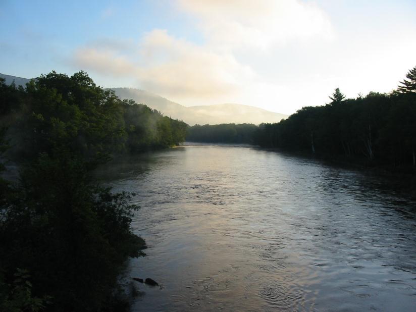
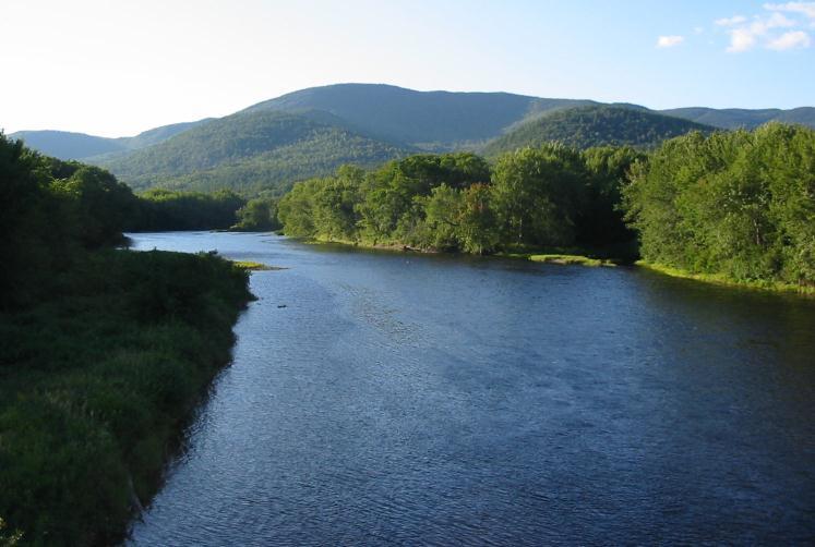
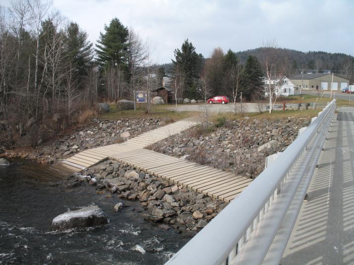
The North Woods section of the Androscoggin River Trail is primarily in New Hampshire, flowing from the headwaters at Lake Umbagog and ending across the Maine border in Gilead. This section features rapids in Errol, flatwater in the Pontook Reservoir, serious whitewater below Pontook Dam, and calmer water to Berlin. There is a gap in access between the historic mill towns of Berlin and Gorham and the town of Shelburne. From Shelburne bridge, paddlers can venture upstream toward Shelburne Dam or downstream to Gilead Bridge in the flatwater.
Paddlers will most commonly visit portions of the Androscoggin River Trail most suited to their skills and available time, rather than paddling the entire navigable trail. Please refer to the Androscoggin River Trail's interactive River Trail Map to find the most up-to-date information to plan your trip, including information about access points and river conditions upstream and/or downstream from these points. Sites along the Androscoggin River Trail are regularly being improved and added. Maps are also located at kiosks at popular access points.
The Androscoggin River Trail also exists upstream (Magalloway River) and downstream (Mahoosucs) from this section; see "Connector Trails" for more information.
The Androscoggin River Watershed Council is working with numerous groups and individuals to promote a water trail along the full length of the Androscoggin River from Lake Umbagog in Northern New Hampshire to the easterly end of Merrymeeting Bay in Maine. The trail provides access for a wide variety of uses including paddling, fishing, and motor boating in appropriate parts of the river.
The Androscoggin River flows 168 miles and there are more than 40 mapped, publicly-available access sites to the river which provide access to most of the river. Full development of the trail will include improvements to existing sites and the establishment of new sites. In addition, there are plans for improved portages, water-access only sites, and day use areas.

This trail was made possible in part with funds from the Maine Outdoor Heritage Fund (MOHF). For more information about MOHF and the wildlife and conservation projects it has contributed to, please visit the MOHF webpage.
For more information, visit the Androscoggin River Watershed Council online or contact:
Yield to Others on Trails: Uphill hikers, equestrians, and working vehicles or equipment have the right of way.
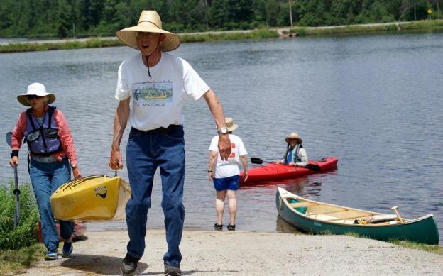
Many trailer or hand-carry boat launches are available on this stretch of the Androscoggin River. Please refer to the map to find their specific locations. For more detail about launch sites, refer to the Androscoggin River Trail's interactive River Trail Map.
Success! A new password has been emailed to you.