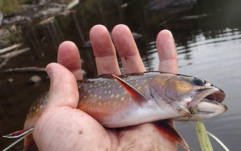
The Blue Ridge Trail system, north of the Katahdin Iron Works (KI) Rd. and east of Greenville, provides hiking, remote pond fishing access, backcountry (primitive) trail running, camping, and wildlife watching opportunities. Two trailheads and multiple trail segments let you explore three ponds and the ridgeline above the surrounding working forests owned by the Weyerhauser Company.
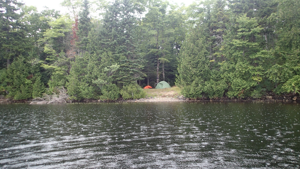
Heading clockwise, the trail continues generally northward eventually passing a pleasant stand of mature softwood along Rum Pond. Shortly thereafter, the trail reaches a short spur to an established campsite on the shore of Rum Pond. The trail crosses the same woods road encountered at the start of the trail as it continues away from the pond, gaining elevation and passing through fairly recent timber harvest.
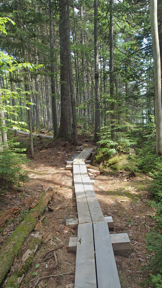
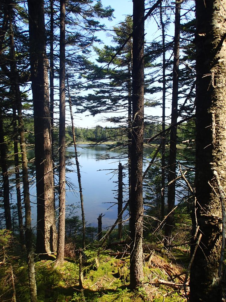
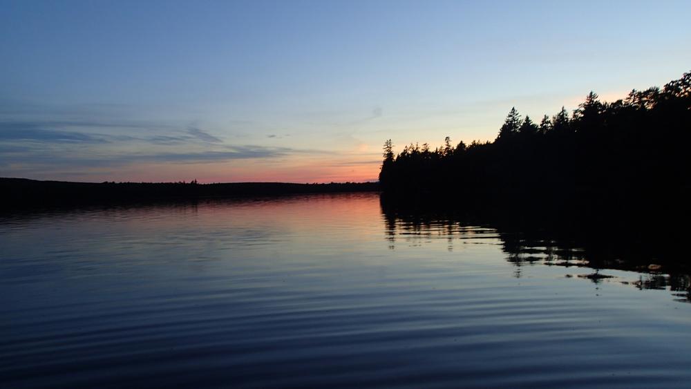
After cresting the low ridge between Rum Pond and Cranberry Pond, the trail begins its relatively gentle descent to the low ground around Cranberry Pond. Just before reaching Cranberry Pond, a spur trail to a planned campsite runs roughly 600' to the north, where the mostly wetland-fringed pond's outlet dumps out steeply northward towards Upper Wilson Pond. This 1.1-acre campsite parcel, now owned by Bureau of Parks and Lands, is available for primitive, low-impact camping though no facilities are yet developed and fires are not permitted at this time.
The main trail continues eastward loosely along the south shore of the pond before reaching a junction with the blue-marked Blue Ridge Trail. To loop back to the Rum Pond trailhead, continue on the yellow-marked Rum Loop Trail by turning south. At approximately a half-mile south of the junction by Cranberry Pond, there is a junction with the Headwaters Trail (heading east, red-marked). Continue past this junction on the Rum Loop Trail another 0.8 miles to reach the trail split close to the trailhead.
Blue Ridge Trail (additional 3.9 miles one-way)
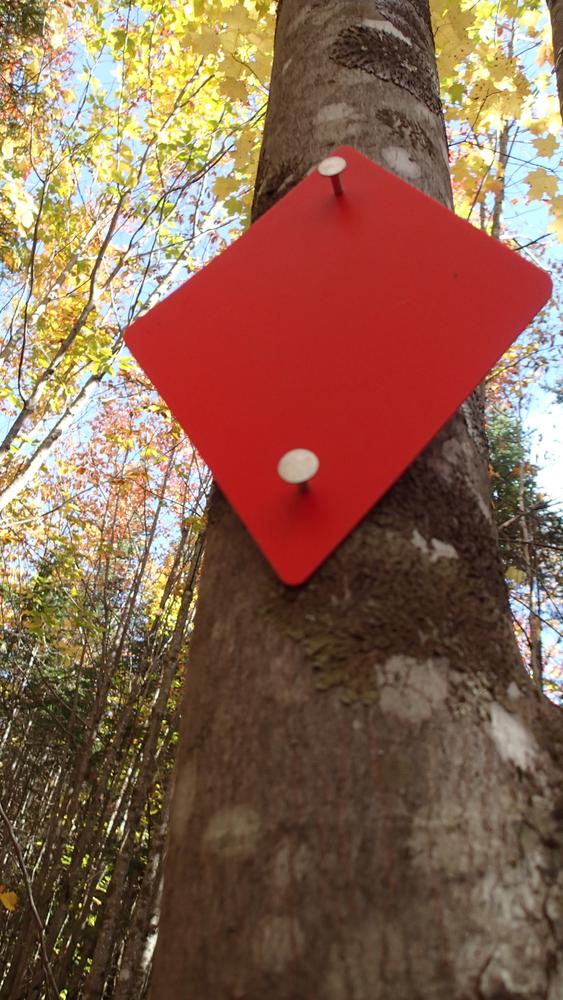
Starting at the junction of the Blue Ridge Trail and the Rum Loop Trail, continue east on the blue-diamond-blazed Blue Ridge Trail. After climbing away from Cranberry Pond, head along the hillside (filtered views) until reaching Notch Pond. This 1.4-acre campsite parcel traversed by the trail and now owned by Bureau of Parks and Lands is available for primitive, low-impact camping though no facilities are yet developed and fires are not permitted at this time. From here, it is another 2.5 miles before reaching an unnamed logging road atop the ridge. Partial views in varied directions emerge along this section. A quarter mile past (east of) the logging road, there is a small spur to an attractive view of Elephant Mt. The trail continues past this spur for less than one mile, where it meets property and a trail owned by the Appalachian Mountain Club. This linkage will be described in a future Barren-Blue Loop backpacking listing.
Headwaters Trail (2.2 miles one-way)
The Headwaters Trail starts at the Vaughn Stream trailhead (shared with the southward-heading Vaughn Stream Trail). Head northward on the red diamond blazed trail. The trail skirts a clearcut to the west as it heads generally northwesterly. Grades are easy. At approximately 1.5 miles, the trail crosses an unnamed logging road before continuing across a small stream. Then, it continues climbing slightly towards the junction with the Rum Loop Trail.
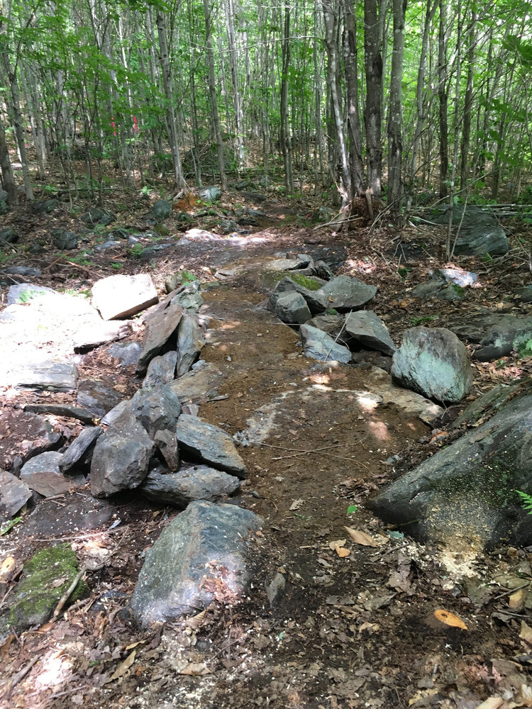
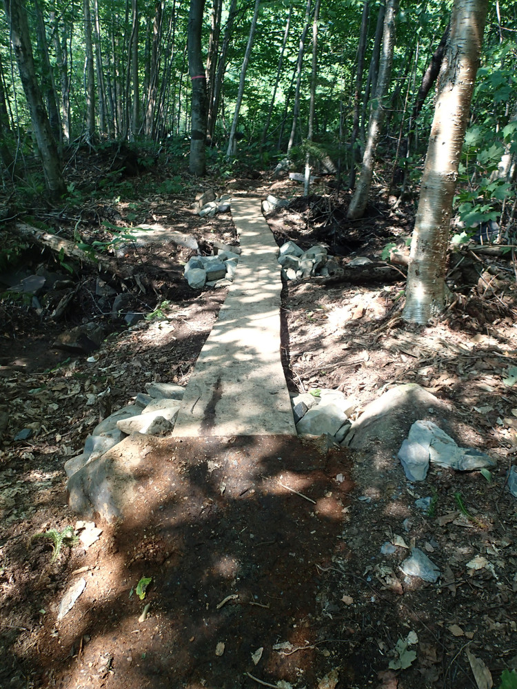
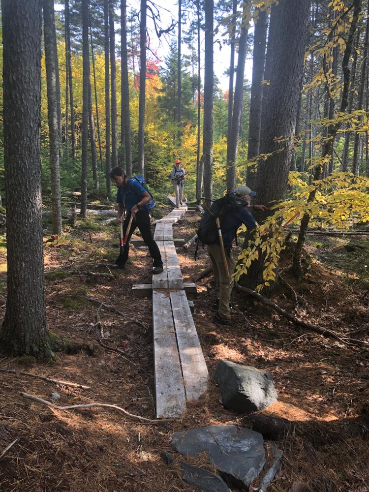
Trailheads and campsite areas donated to the Maine Bureau of Parks and Lands by the Weyerhauser Company are still in varied states of development. The trails are predominantly located on publicly-owned trail easements; the land is still owned by Weyerhauser as are adjacent lands. Please follow low-impact guidance (such as Leave No Trace) and respect both private and public lands/resources.
At this point, there is no plan to provide plowed winter parking access. Snowshoeing and ungroomed ski trail use is permitted, but not specifically managed for. Similarly, mountain biking is allowed, but trail design and conditions are very primitive and challenging for bike use.
Visit Maine Bureau of Parks and Lands online for more information or contact:
![]()
Two trailheads lie roughly 7-miles east of Greenville. Leave downtown Greenville and drive east on Pleasant Street/East Road past the Greenville Municipal Airport. The road becomes gravel-surfaced and passes over Wilson Stream becoming known as the Katahdin Iron Works Road (KI Road). Alternatively, access from the east via Brownville is possible, though road fees apply.
Rum Pond Trailhead: Just over 7 miles from Greenville, turn north on Rum Pond Road, a somewhat rough gravel road, and follow for a little over a mile to the Rum Pond trailhead parking area.
Vaughn Stream Trailhead: Instead of turning onto the Rum Pond Road, continue traveling east on the KI Road for approximately 2.1 miles. The trailhead is on the north side of the road, just before crossing Vaughn Stream (parking is available at this former log yard/side road site - though the trailhead is not yet redesigned).
Success! A new password has been emailed to you.
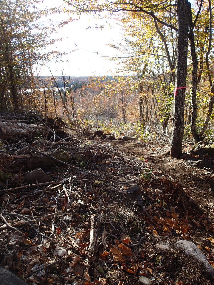
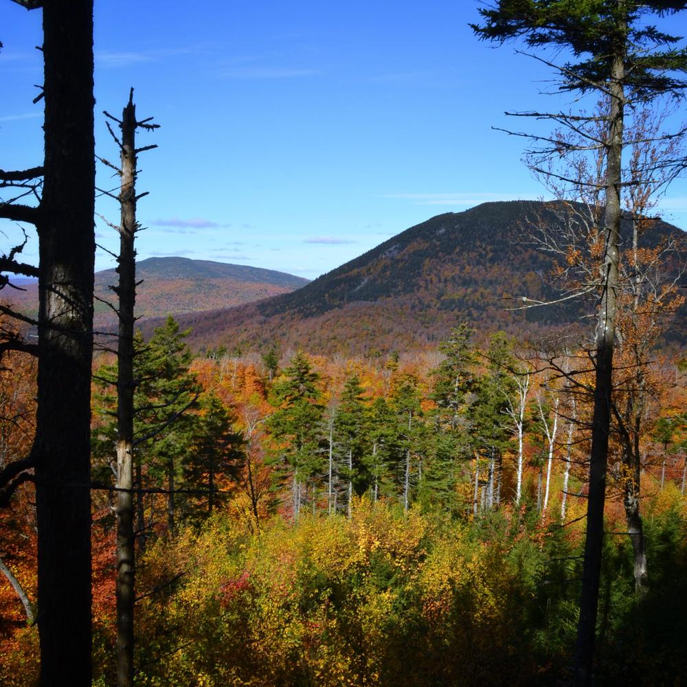
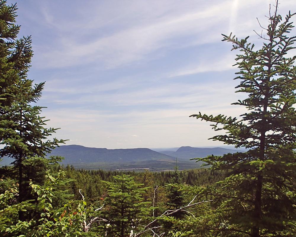
It is unfinished after all. Sporadic but consistent blue markers or pink flagging tape to the boundary. Sometimes a defined trail-bed, sometimes down woody debris obscuring the way. Blowdowns galore. Not a leaf peeper’s paradise, but heaven to solitude seekers and moose lovers. View window after view window on this long wooded ridge.
As a previous commenter noted, the trail blazes stop at the AMC boundary. It does not yet connect to AMC trails. The Trailfinder map and description is otherwise correct.