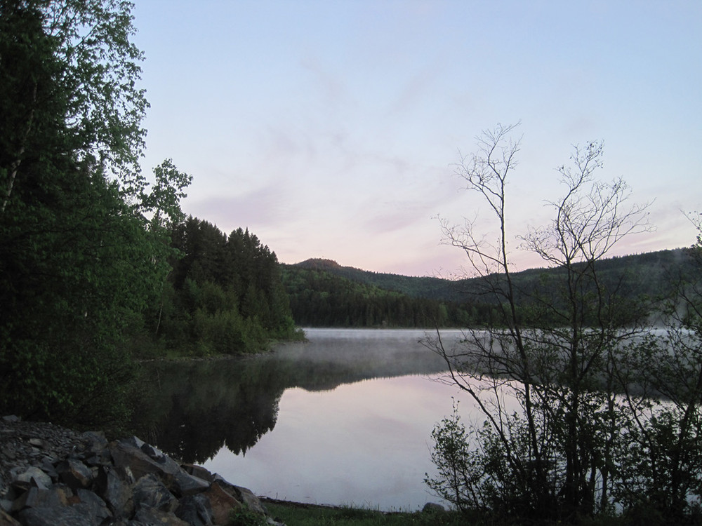
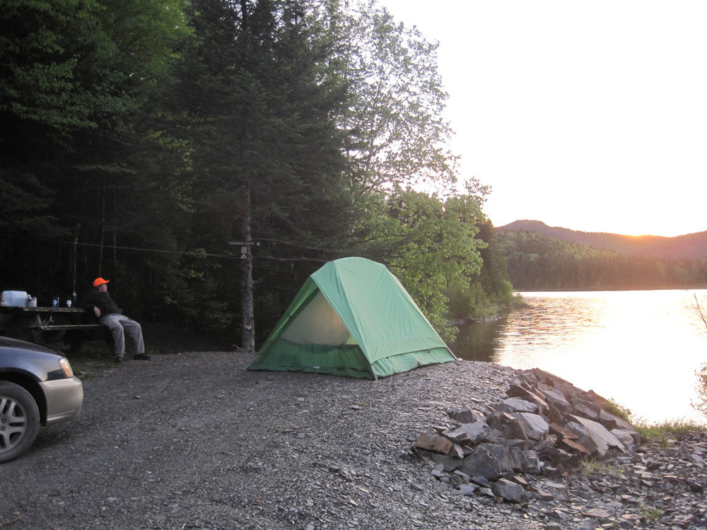
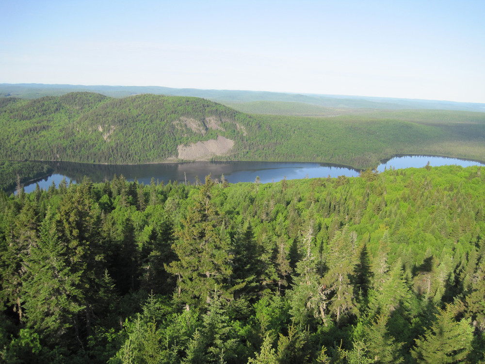
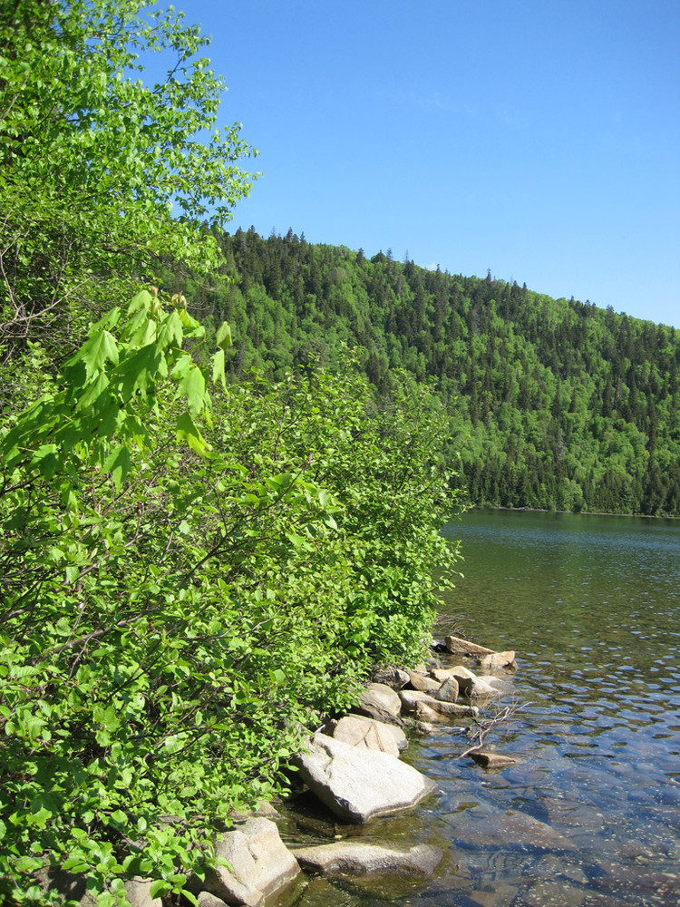
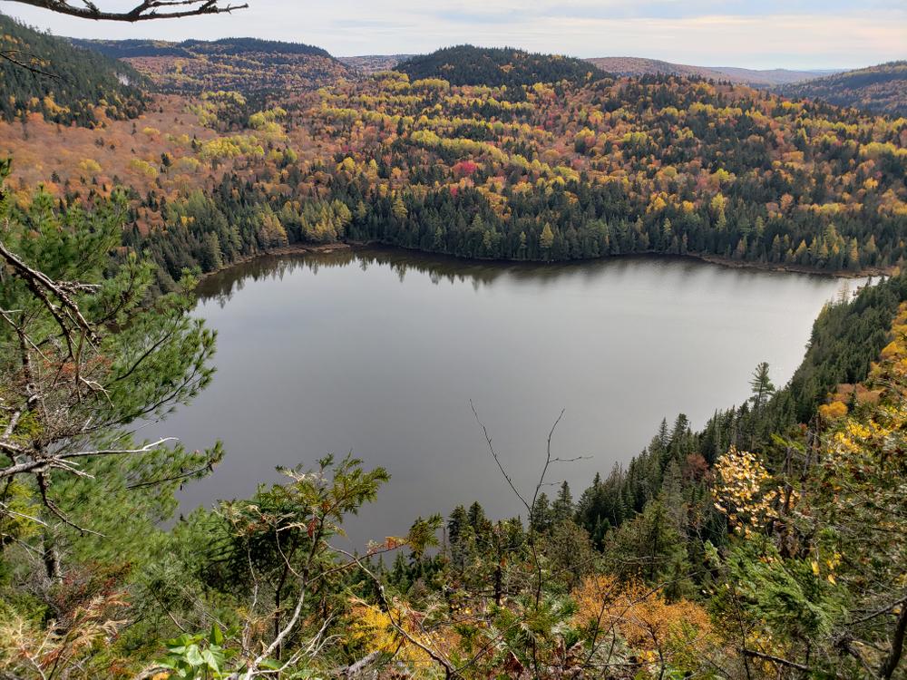
Deboullie Public Lands offer remote campsites on crystal-clear trout ponds surrounded by low rugged mountains. These lands, encompassing 17 ponds ranging in size from 8 to 341 acres, lie in northernmost Maine, east of the Allagash Wilderness Waterway and 30 miles from the Canadian border. The name Deboullie is an adaptation of the French word, débouler, which means to tumble down—referring to the talus fields (former rock slides) at the base of several mountains.
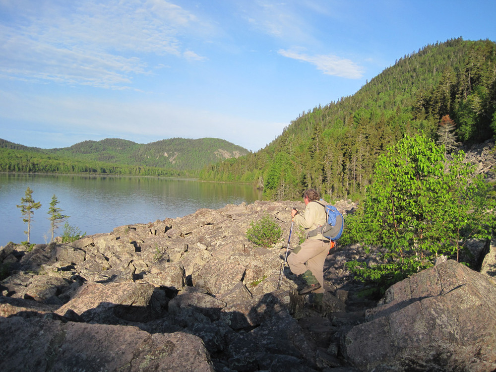
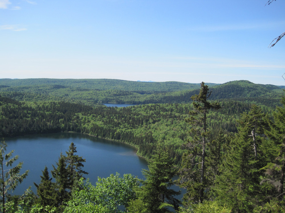
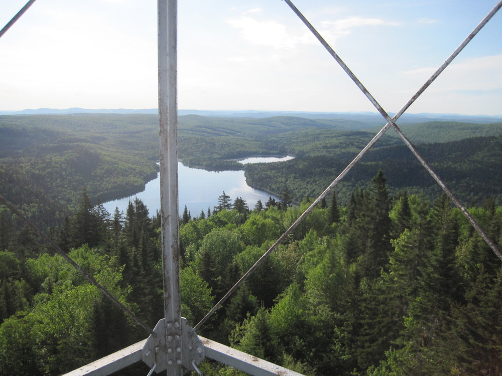
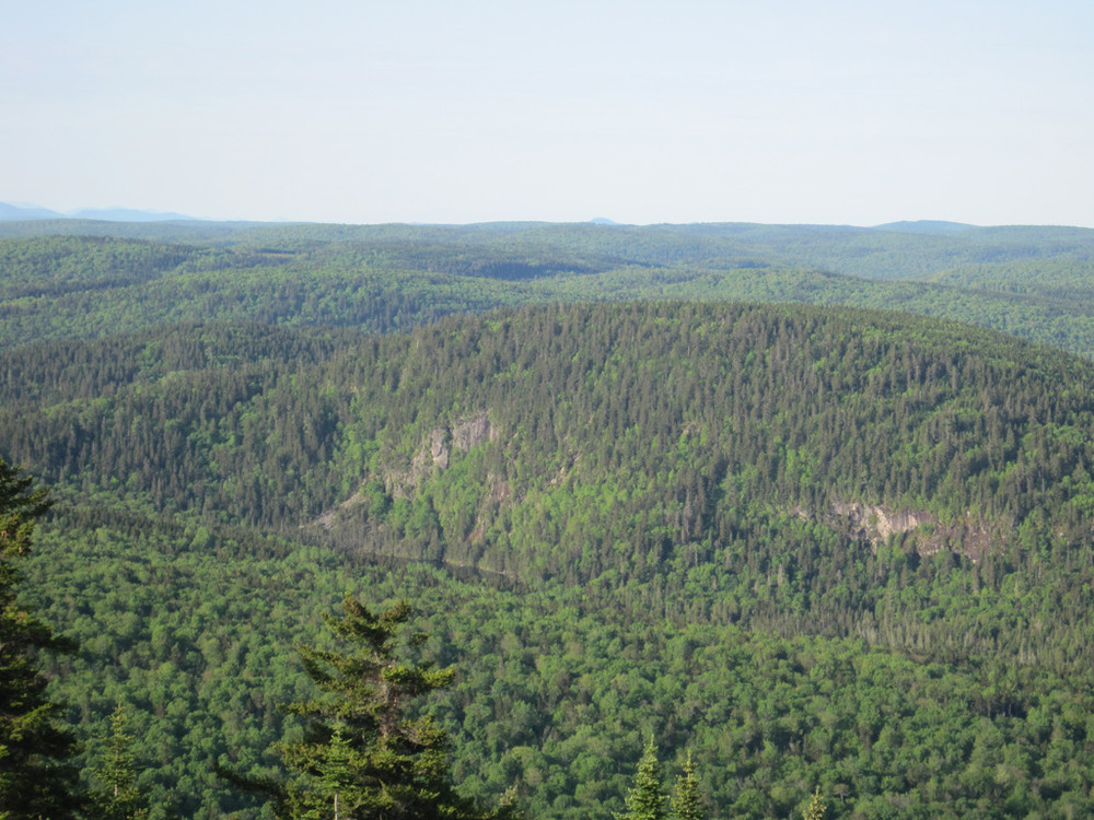
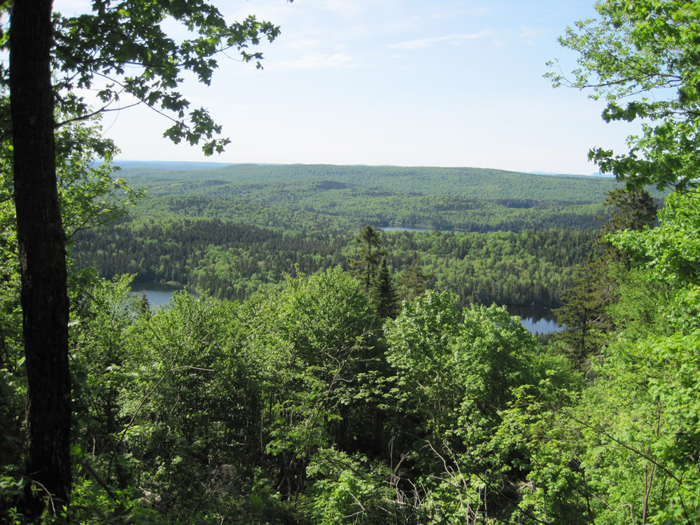
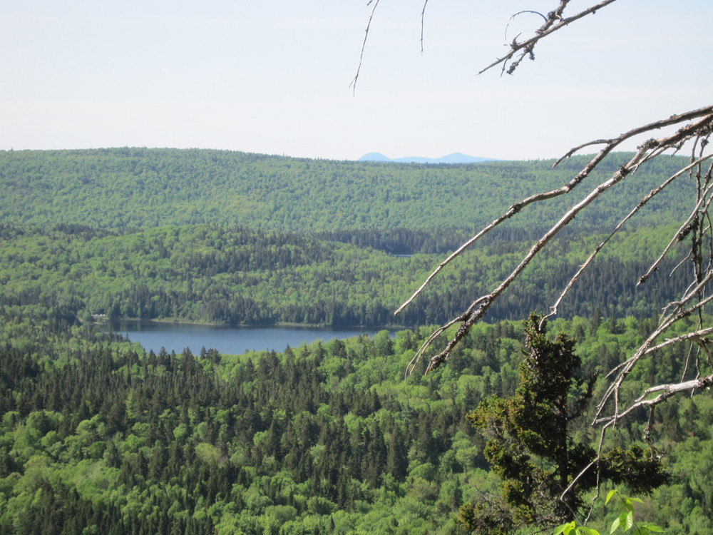
A 12-mile trail network with several loop options leads to many remote ponds and to Deboullie Mountain (1,981 feet) where a former fire tower offers expansive views of the surrounding region. Hikers can enjoy mountaintop blueberries in August and find “ice caves” – narrow, shaded crevices where snow and ice can remain year-round, supporting unusual plants such as the arctic sandwort.
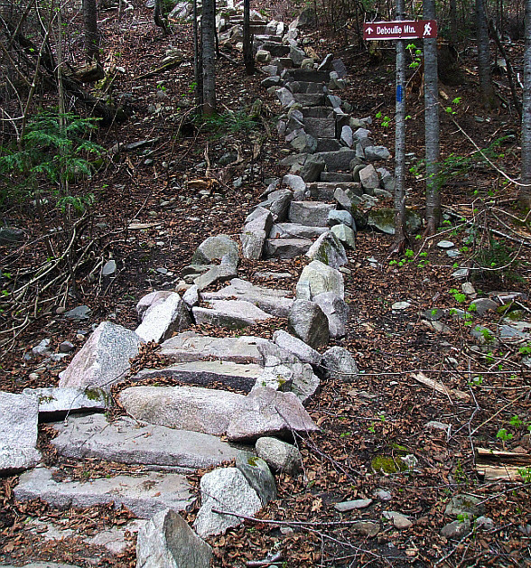
Deboullie Mountain Trail (4 miles round-trip, allow 4 hours): The Deboullie Mountain Trail begins by a parking area at the east end of Deboullie Pond. The trail follows the pond shore west for 1.3 miles and crosses a large rock-slide before entering a clearing with a picnic site—where a side trail heads steeply up for six-tenths of a mile to the summit with views in all directions from the 48-foot fire tower. Look for ice caves along the way.
Deboullie Loop Trail (6 miles round-trip, allow 4 hours): The Deboullie Loop Trail begins at the east end of Deboullie Pond and follows the pond shore west 1.3 miles, passing the summit trail, and continuing west 0.8 miles to the end of the pond. The trail turns south, with a short spur leading to scenic Gardner Pond. The trail then forks. The right-hand (western) fork heads 1.4 miles to Denny Pond via the Denny Trail. Continue left (east), going 2.7 miles though woods to the shore of Pushineer Pond. The hiking loop route continues from the junction with a gravel road heading back to the original trailhead. The walk to the trailhead north along the gravel road is approximately one-mile in distance.
Black Mountain Loop Tail (5.5 miles round-trip, allow 4 hours): The Black Mountain Loop Trail begins at the east end of Deboullie Pond. Follow the Little Black Ponds Trail to Black Pond, then the right-hand (eastern) trail to Black Mountain. The scenic vista on Black Mountain provides spectacular views of Black Pond and the surrounding forest. The trail continues along the top of Black Mountain, across the saddle of Deboullie Mountain and Black Mountain then up the north side of Deboullie Mountain to the tower. Follow the Deboullie Mountain Trail back to the trail head parking via the trail segment along the northern shore of Deboullie Pond.
View BPL's map and guide for Deboullie Public Lands.
Deboullie Public Lands lie within the North Maine Woods recreational system: visitors must pass through a checkpoint and pay the required day use or camping fees. The State of Maine is a member of North Maine Woods, an organization that manages recreation on nearly three million acres in Northern Maine. Fees collected at checkpoints defray the costs of managing gate systems and maintaining recreational facilities.
The area has a reputation for outstanding fisheries, with native brook trout in many ponds and landlocked salmon and lake trout in Togue Pond. Several ponds have populations of blueback trout (landlocked arctic charr), an unusual variety that is the world’s northernmost freshwater fish. Hiking trails provide shoreline access to numerous fishing destinations.
Take care traveling along area logging roads, pulling over and stopping for trucks regardless of which direction they’re headed. Do not block side roads and never stop where visibility is poor. Roads can be dusty in dry weather and washed out in wet weather. Gravel roads are hard on tires (and suspension systems): travel slowly and carry a spare tire.
Don't count on your cell phone in an emergency as coverage is spotty to non-existent.
 Natural Heritage Hikes is a project of the Maine Natural Areas Program in partnership with Maine Trail Finder. View the "Deboullie Public Reserved Land - Black Mountain Loop" guide online here.
Visit Maine Bureau of Parks and Lands online for more information and a printable map or contact:
![]()
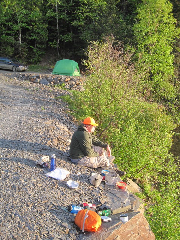
Set Up Smart: Use established campsites to avoid damaging new areas.
Access is via gravel logging roads, many miles of which are privately owned.
From north: Travel on ME Route 161 to North Maine Woods' St. Francis checkpoint, paying the user fee. Proceed south approximately 8 miles on the St. Francis Road to reach the western boundary of the Deboullie lands. This road is open late spring through fall. Once within the Deboullie Public Lands, drive south and east past Togue, Perch, and Upper Ponds on your way to Pushineer Pond. Pass Pushineer Pond on your left and continue north for the trailhead located near the eastern tip of Deboullie Pond.
From south: Take ME Route 11 north from Ashland to Portage and turn left onto West Road (before reaching the lake). After 1 mile, turn left onto a gravel logging road (by signs for several sporting camps). You will pass North Maine Woods' Fish River checkpoint and pay use fee after about 4 miles. After two miles, turn right on Hewes Brook Road and follow that approximately 13 miles to the Red River, where you turn left on the T15 R9 Road and head west for approximately 7 miles into the Deboullie Public Lands (follow the "RRC" signs). Once within the Deboullie Public Lands, drive west to Pushineer Pond and turn right (north) for the trailhead near the eastern tip of Deboullie Pond.
Success! A new password has been emailed to you.
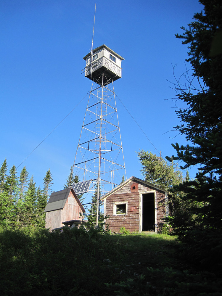
Just a quick heads up there are a lot of blow downs due to the storm that took down the fire tower, but it is definitely worth taking a couple of days to explore all this public land has to offer.