This 318-acre conservation area has two trails and a shore path with access to a rocky-sandy beach. The Devil’s Head Trail leaves from the south side of the access road to climb to the peak of Devils Head (340 feet) that will when a planned viewing platform is completed, offer great overlooks of the St. Croix River and lands to the west. Once at the peak, hikers can either backtrack to their car or continue and return by the access road.
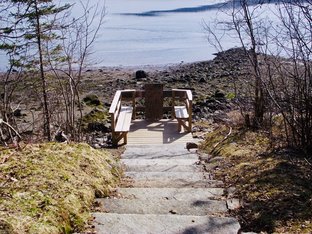
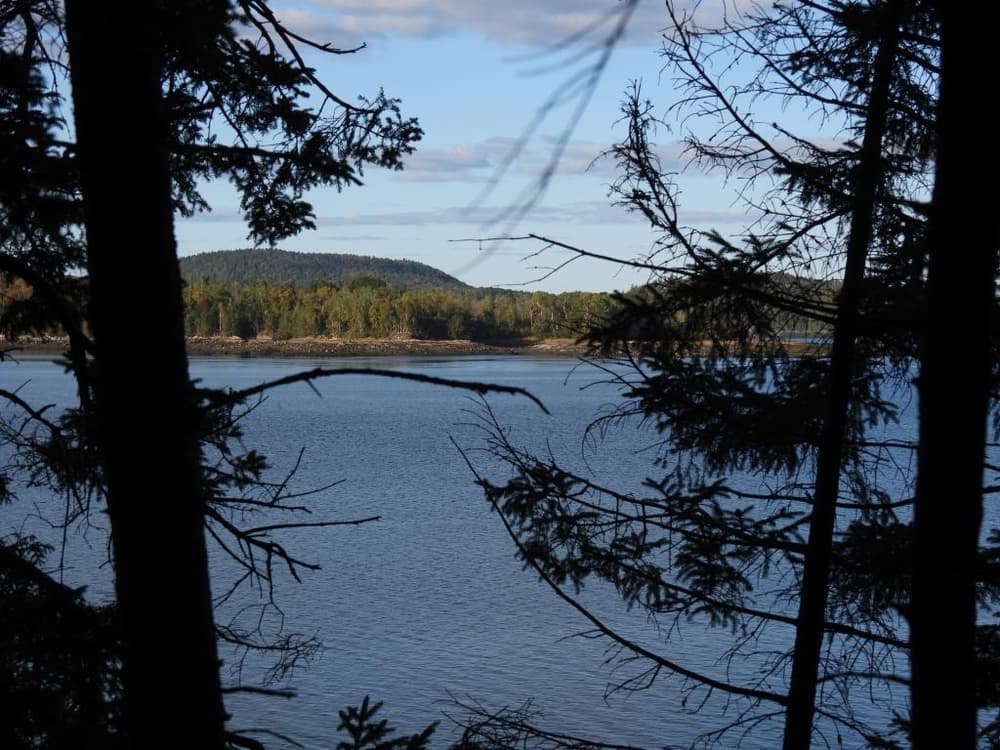
The Shoreline Bluffs Trail leaves from the parking and trailhead on the north side of the access road. Completed in 2016, this hike leads to rocky bluffs overlooking the St. Croix River and New Brunswick. Hikers will encounter large trees including red and sugar maple, white and yellow birch, hemlock, white cedar, red and white spruce, and white pine that survived pre-park logging, and the stumps of many that did not. Pileated woodpeckers may be heard or seen in the big trees, and bald eagles, ospreys, loons and ducks frequent the shorelines. Deer, moose, coyotes, red foxes, beavers, and mink, less often seen, may visit the woods or marsh
Devil’s Head has rich historic significance and was used by Native Americans as many as 11,000 years ago for harvesting fish and clams. St. Croix International Historic Site, visible three miles to the south, is the site of the first attempt to establish a permanent French settlement in North America in 1604-5. These colonists used Devil's Head both for hunting and gathering firewood. In 2004 a cooperative effort between local organizations, individuals, and the Land for Maine’s Future Program led to the purchase and permanent conservation of the site which is now the largest undeveloped tract along Maine’s coast north of Cobscook Bay.
Tides fluctuate up to 25 feet every six hours and can rise quickly so keep an eye on the water level when exploring the shore. Kayakers, canoeists, scuba divers and boats setting anchors should all take the strong tidal currents into account.
In late spring and summer, be prepared for mosquitoes and black flies. Deer ticks are in the area so check yourself daily to prevent Lyme disease.
Cobscook Trails Project: The trails on Devil's Head Conservation Area are part of a larger network of hiking trails in known as Cobscook Trails. Cobscook Trails is a cooperative project of conservation landowners and community partners that seeks to expand opportunities for nature-based recreation and tourism in eastern Washington County. The group produces "Cobscook Trails: A Guide to Walking Opportunities around Cobscook Bay and Bold Coast Region," a 55-page booklet describing walks on 19 area properties. Find more information about Cobscook Trails, including how to purchase the guidebook, visit: The Cobscook Trails Project.

These trails pass through a property that was acquired in part with funds from the Land for Maine’s Future program. For more information about the LMF program and the places it has helped to protect, please visit the LMF webpage.
Visit the City of Calais online for more information of contact:
City of CalaisTravel Thoughtfully Through Maine’s Towns: Responsible visitation makes a difference in town, too. Some Maine communities have local norms for respectful visitors. Among other things, parking in designated spots is essential. Please also be respectful of pedestrians, cyclists and speed limits when in town.
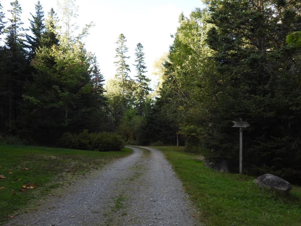
From North: From downtown Calais, head south on US Route 1 about 6 miles. Look for a large, green and gold sign on the east (left) side of the highway. A dirt road (not maintained in winter) provides access to parking areas and trailheads (look for signs).
From South: From the intersection of US Route 1 and ME Route 214 in Pembroke, continue 20 miles north on US Route 1. Look for a large, green and gold sign on the east (right) side of the highway. A dirt road (not maintained in winter) provides access to parking areas and trailheads (look for signs).
Success! A new password has been emailed to you.
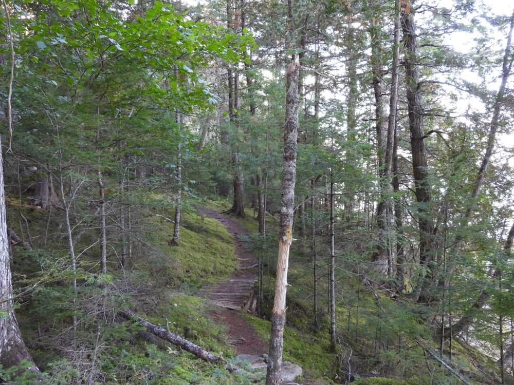
There is a dirt road that leads to a nice parking lot and place for a picnic. There Devil's Head trail (the first right trail) is pretty steep in some locations but leads to two scenic views of the islands in the St. Croix river and the coast of New Brunswick, Canada. There are some wonderful photo opportunities also of moss patches.
I've spent a total of 4 hours combing the beach with a decent quality metal detector and have found trash. Perhaps there's treasure there waiting to be found!