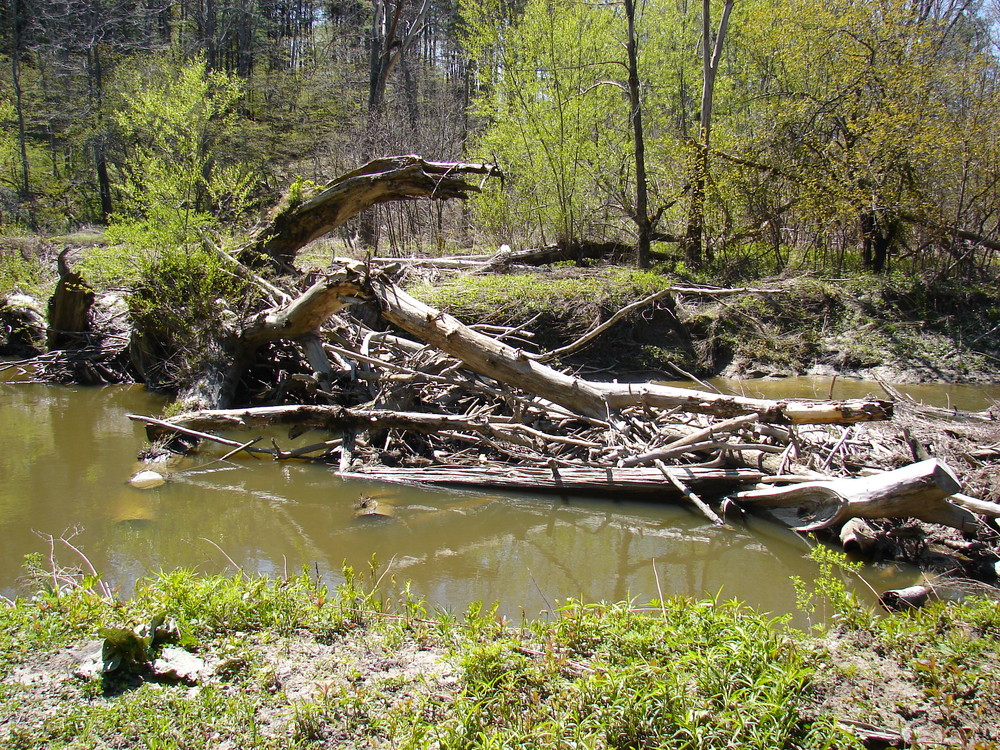
The East Branch Trail is a lovely 2-mile long wooded trail that runs along the East Branch of the Piscataqua River. Two different second side trails take the hiker or biker down to the river itself. Look for beaver, otter, herons, ducks and a variety of other birds along the river.
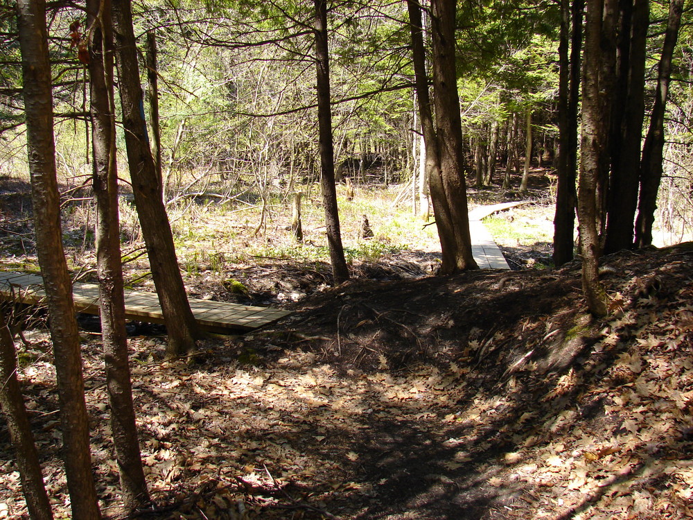
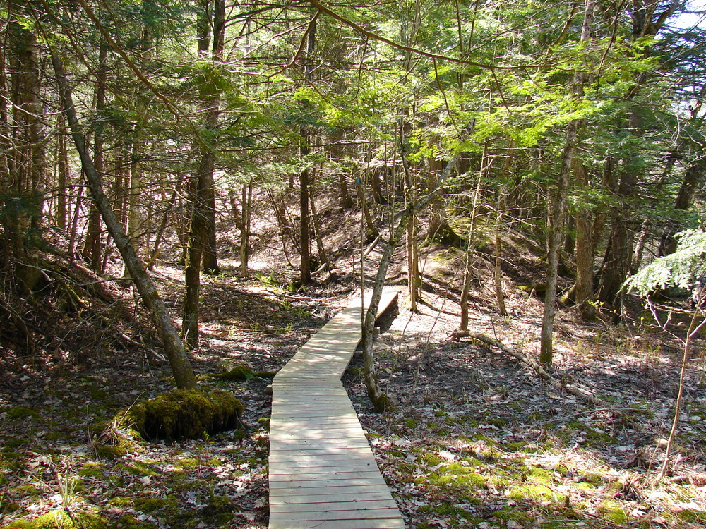
To start at the north end of the trail, park at the rear of Falmouth High School and look for a kiosk with a detailed trail map. This section of trail uses Nordic ski trails built in 2012. During ski season, the groomed trails are closed to walking. A singletrack trail exits the wide ski trail and enters the woods on the other side of a small power line (look for a blue blaze). At the bottom of the hill, a loop trail, blazed white, leads to the riverbank and then rejoins the main trail (blazed blue). A short 200 foot side trail farther down the trail also takes you to a river overlook.
At 0.75 miles you will come to a pumping station; follow the driveway to Falmouth Road, where another kiosk can be found. At this point, you can return to your car or keep going on the lower section of the trail. To find it, walk north along the Falmouth Road, cross the bridge, and pick up the trail on the left at the end of the guardrails.
CAUTION: Falmouth Road is a busy thoroughfare so beware of traffic.
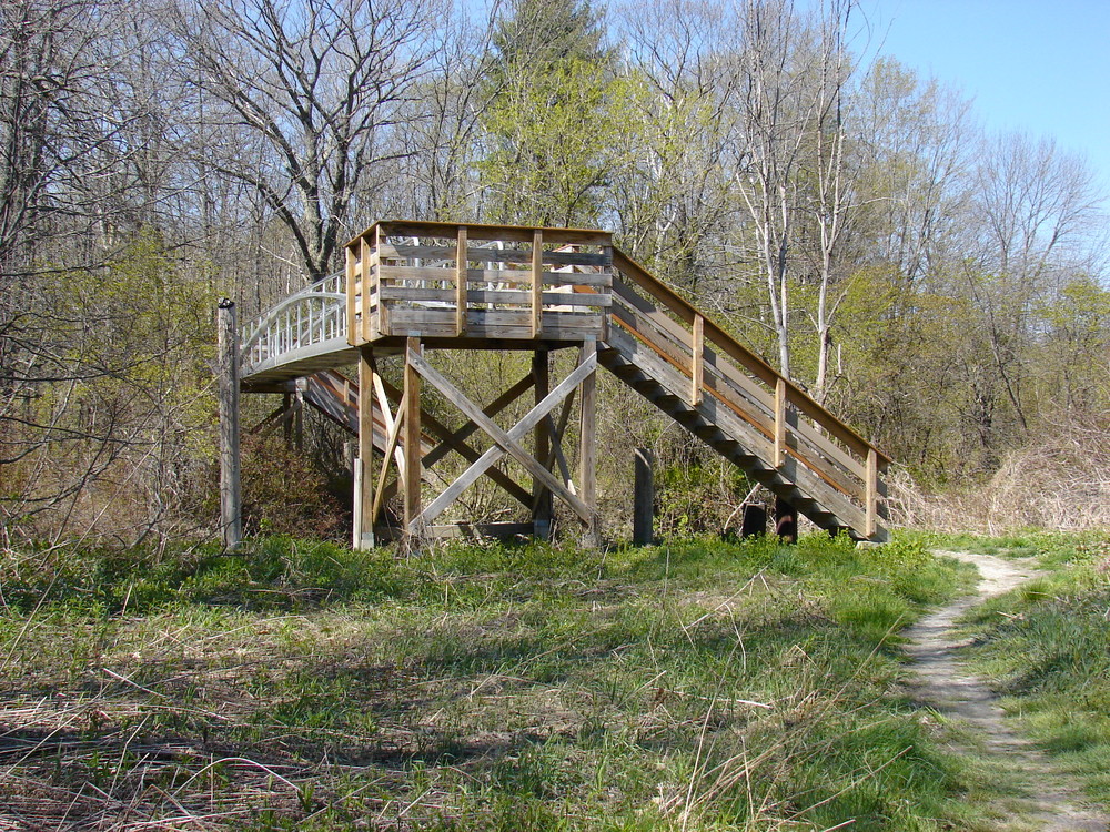
The lower trail enters a swampy area that can be impassable after a heavy rain, then leads up to the edge of a field, then down again, following the river to an elevated bridge spanning the West Branch just above its confluence with the East Branch. Follow the yellow blazed trail north to the entrance to the River Point Conservation Area. The trip can also be started at this end, or mid-way at either Falmouth Road trailhead.
The East Branch Trail is the segment of the Cross Falmouth Trail from River Point to Community Park. The section of the trail crossing the East Branch behind Falmouth High School and connecting to Community Park is closed because of bridge removal.
Dogs must be leashed from April 1st to September 30th. Trails are closed to mountain bikes when wet.
Visit the Falmouth Land Trust or Town of Falmouth online for more information or contact:
Town of Falmouth
Be Prepared to Share the Space: Outdoor recreation in Maine welcomes everyone. Have an alternative plan in case the parking area is already full.
The trail itself is split into West (Adam) and East (McCrann) segments:
East (McCrann) Segment: The north entrance is located at Falmouth High School on Woodville Road. It can be accessed by parking in the back of the school parking lots. There are several access points but the preferred point is via the new ski trail. A kiosk marks this entrance. The south entrance is located on Falmouth Road about 200 yards uphill (east) from the river crossing. There is a dirt circular driveway and a kiosk marking this parking/trailhead.
West (Adam) Segment: There is limited parking along Falmouth road near the trailhead immediately west of the bridge crossing the East Branch. Alternatively, the south entrance to the West segment can be reached by parking in the Hannaford parking lot (ME Route 100) near the pedestrian bridge that leads to the River Point Conservation area trails. There is a kiosk with map immediately across the pedestrian bridge. If you take the left most trail you will eventually reach a fork where another left will put you on the East Branch trail.
Success! A new password has been emailed to you.