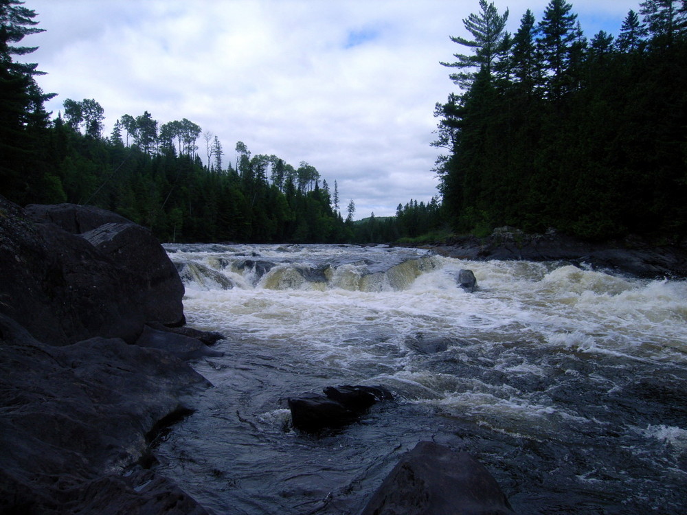
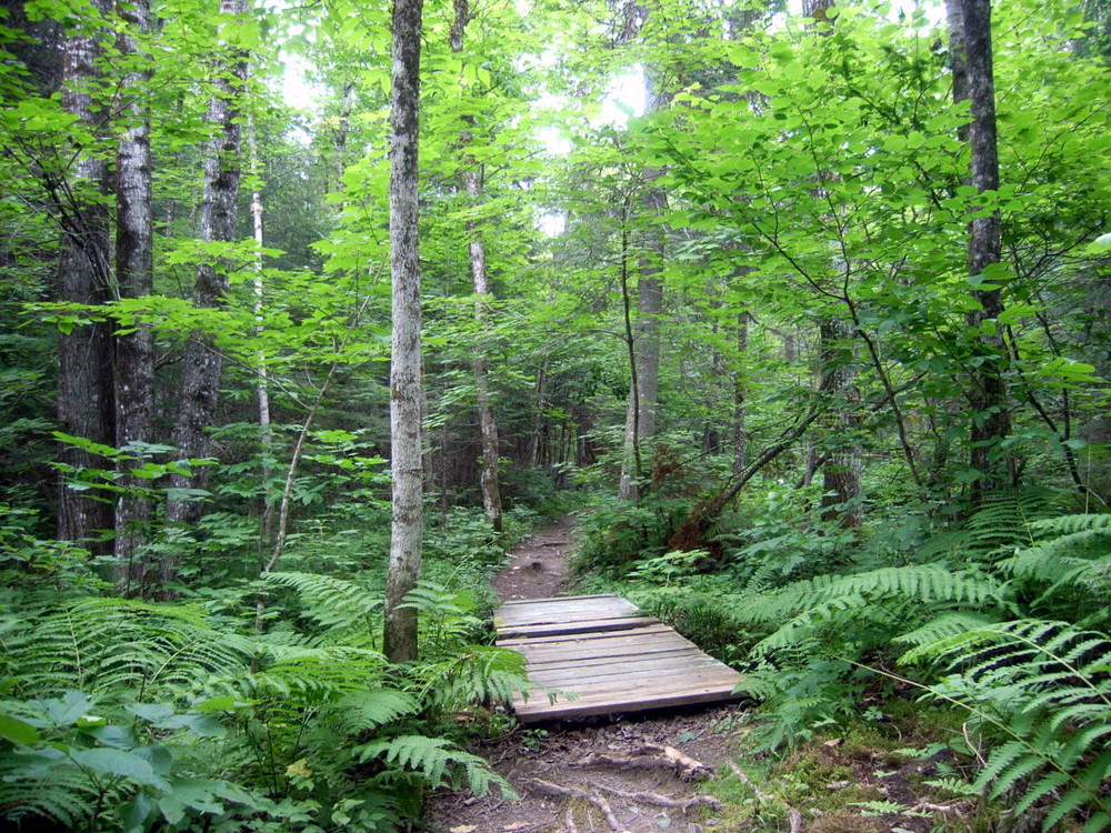
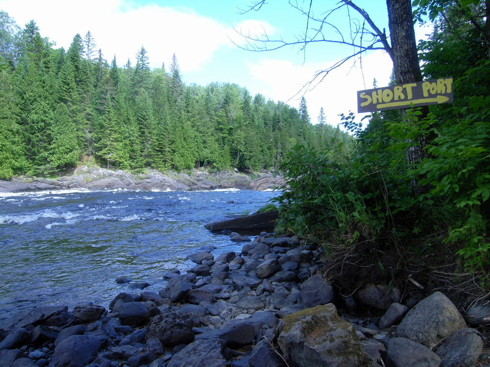
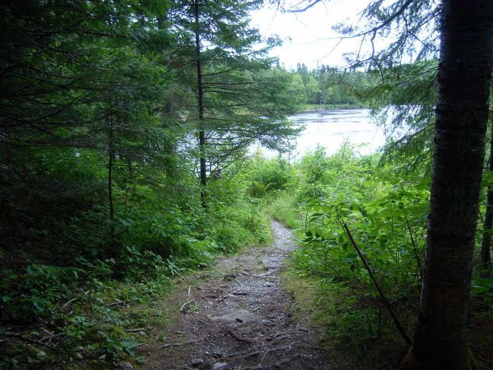
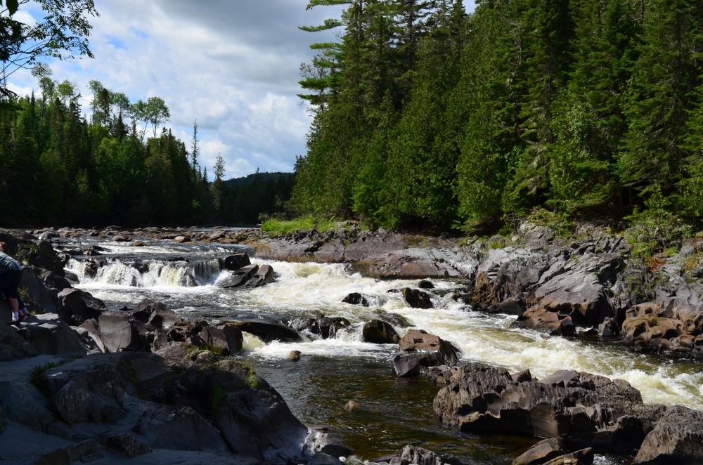
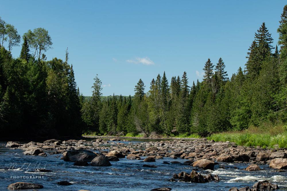
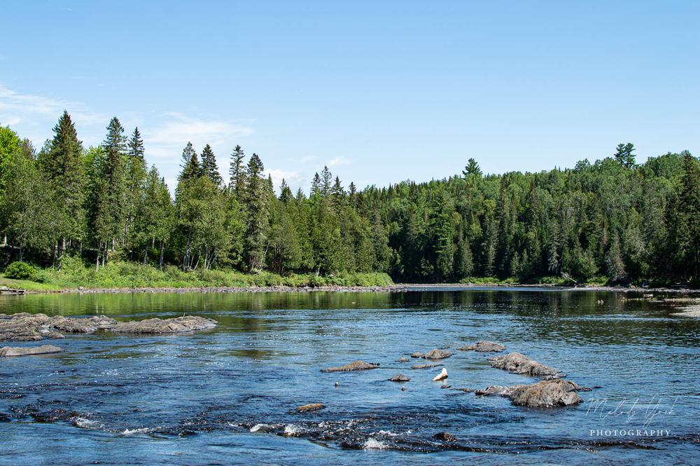
The Fish River Falls Trail is a short woods trail leading from the grass airstrip at the end of the Airport Road down to the Fish River Falls on the Fish River, a Class IV rapid. Once the falls is reached, a small network of trails connects the portage routes around the falls with the access trail. There is also a large campsite with a picnic table next to the falls. The trails next to the river offer great views of the river and the falls. Hikers can also stand on the rocks in the river next to the falls to enjoy the scenery. However, attention must be paid because of the slippery surface of the rocks and the turbulent water of the falls.
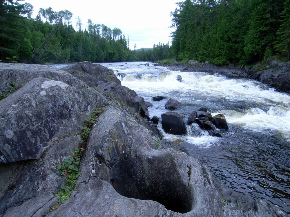
The exposed rocks at the falls and the cliffs are slate and phyllite of the Devonian Seboomook Formation which is widely underlain in northwestern Maine. There are also a number of potholes in the bedrock of varying sizes. Potholes are bowl-shaped, cylindrical, or circular holes formed by the abrading action of pebbles and cobbles that are carried by eddies, or circular water currents that move against main currents. The majority of geologists believe the potholes observed in New England are glacial potholes that are evidence of the last glaciation 10,000 years ago. When the North American continental ice cap began thawing, draining channels were developed inside and below the ice cap, and eddies loaded with pebbles and cobbles produced the potholes in rocky beds of the channels, in uneven places where rapids were generated.
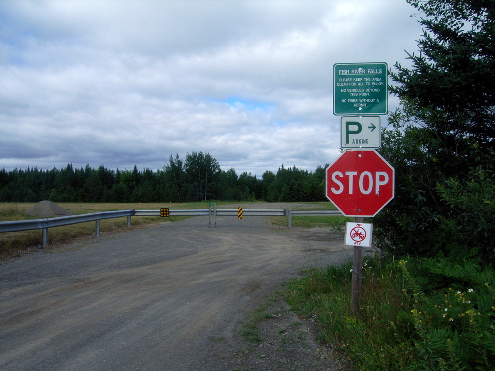
Camping on the site is discouraged and fire is not allowed.
The Fish River Falls trail is on a private property and its usage is courtesy of the Bouchard Family Farm.
Avoid Trampling Fragile Areas: Vegetation and soils in Maine’s alpine zones and coastal islands can take years to recover from a single step.
Travel south out of Fort Kent on ME-161/Caribou Road. Turn right onto Strip Road and then right onto Airport Road, where there is a small parking lot at the end.
Success! A new password has been emailed to you.