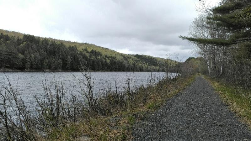
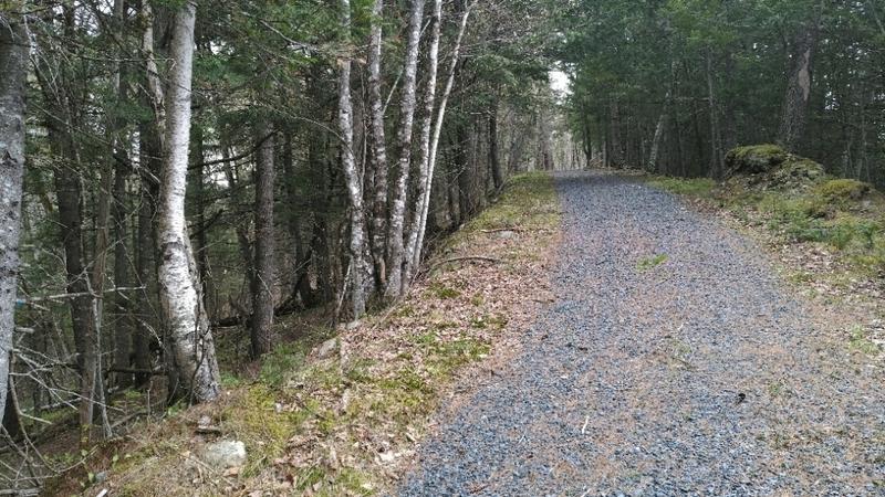
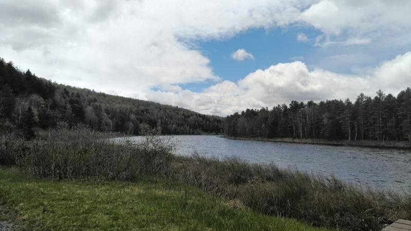
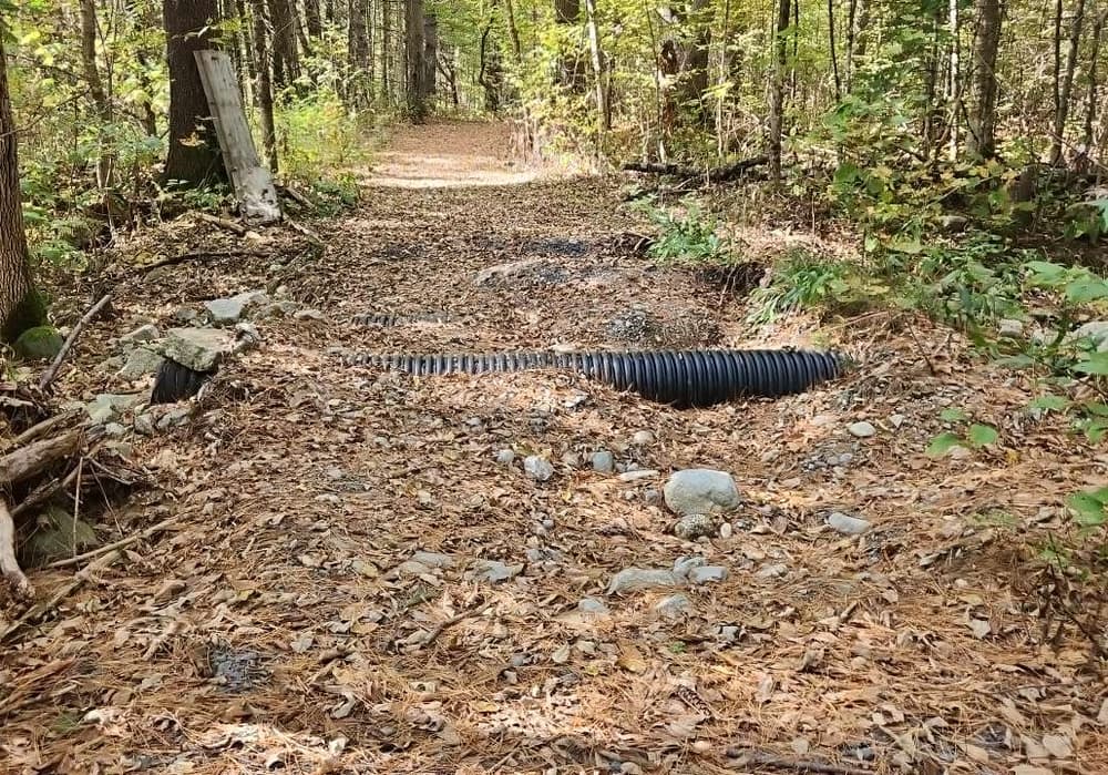
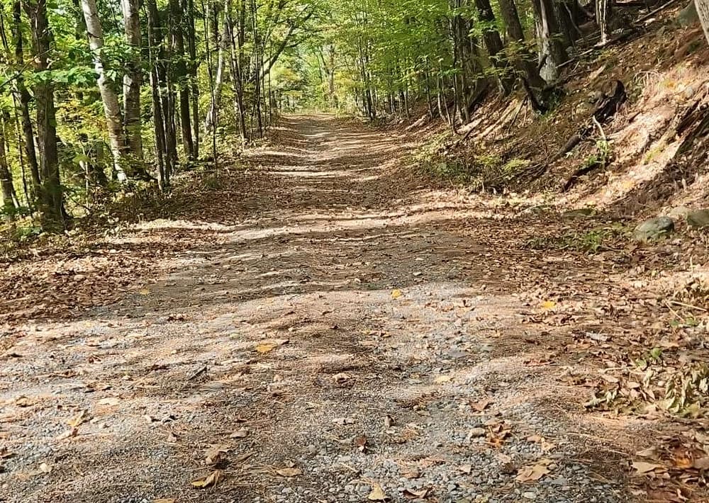
The Forks Area Scenic Trail, open to travel on foot and bicycle in the summer and snowmobile in the winter, hugs the shore of the Kennebec River, one of the largest rivers in Maine. The trail has a gravel surface and averages over 3 feet wide.
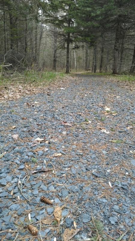
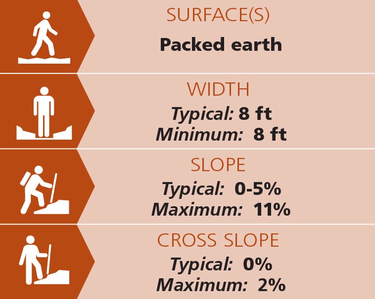
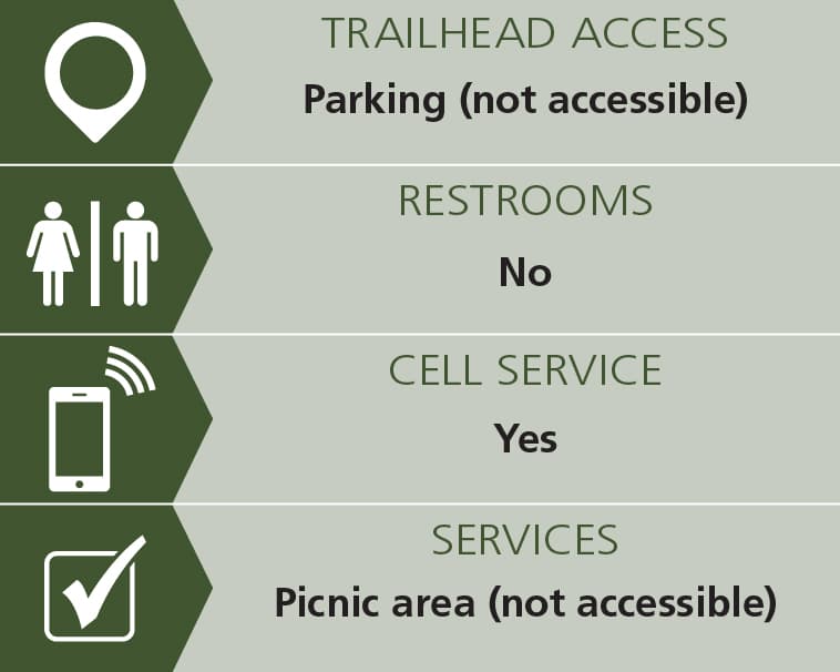
The one-mile section from the Helicopter Pad parking to the Northern Outdoors Campground is mainly flat with some small hills and a bridge over a stream. This section is considered and accessible adventure and has a typical width of 8 feet, a typical slope of 0%-5%, and nominal cross slopes. See Trail Access Information & Considerations below for more information about this Accessible Adventure.
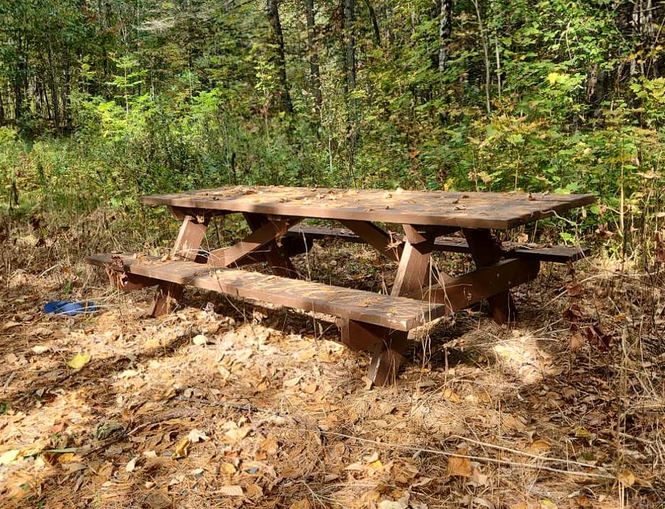
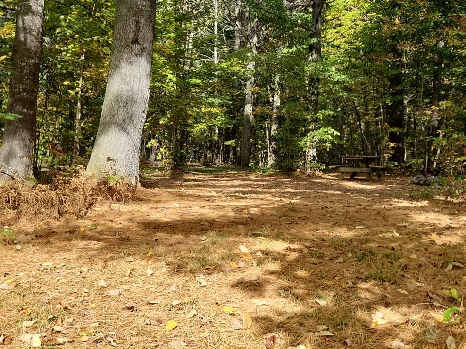
North of Northern Outdoors Campground, the trail becomes much steeper and rolling as it travels over the ridges along the river. There are multiple picnic and rest spots along the way as well as access points to the river.
The graveled trail ends where it crosses US-201 at Flood Road. Intrepid travelers can continue on snowmobile and ATV trails to The Forks.
Trail conditions can change without warning. Trail last assessed: 9/28/2024.
The Forks Area Scenic Trail is managed by the Old Canada Road Scenic Byway along with local Forks area businesses. For information, please contact:
![]()
Parking is available at three locations along US-201 in The Forks. From south to north:
Helicopter Pad Parking - There is ample parking at the emergency helicopter landing pad at the south end of the trail. The parking area is on the left, 1.2 miles past the junction of Main Street (Caratunk) and US-201.
Northern Outdoors Parking - Parking is available in the lot across the road from Northern Outdoors Adventure Resort, 2.1 miles north of the junction of Main Street and US-201. This lot is for day use only.
Flood Road Parking - There is limited parking at the north end of the trail at Flood Road. 4.7 miles north of the junction of Main Street and US-201, turn right onto Flood Road. Park in the widened area on the right.
Success! A new password has been emailed to you.