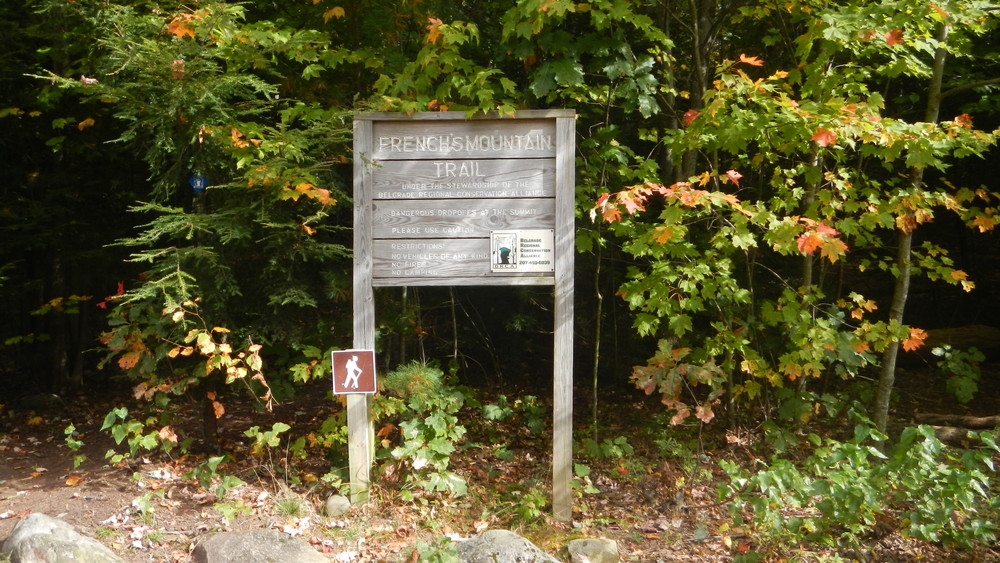
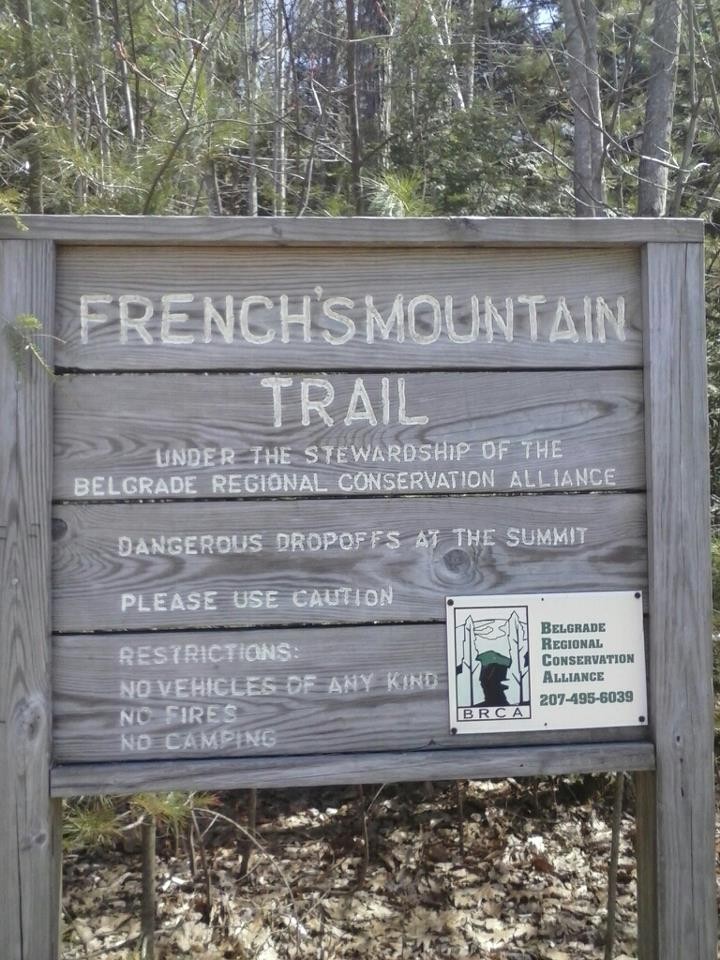
The French Mountain Trail is a loop trail and can be followed in either direction; clockwise is described here.
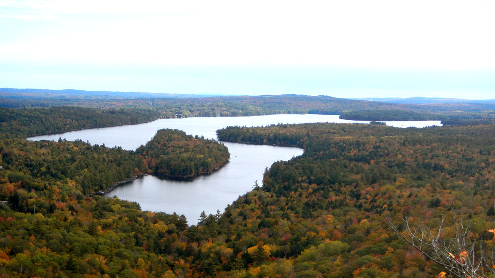
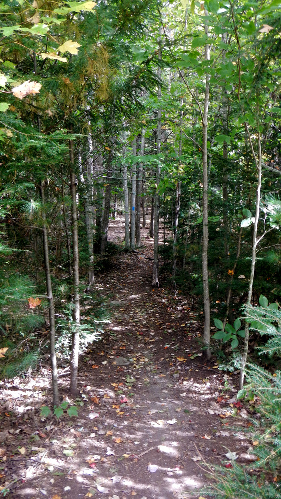
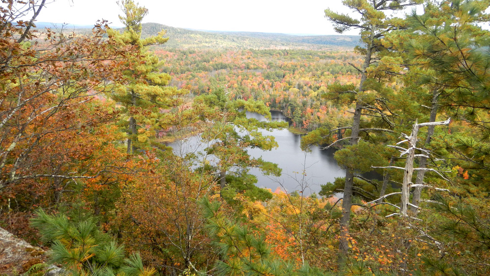
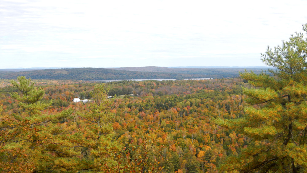
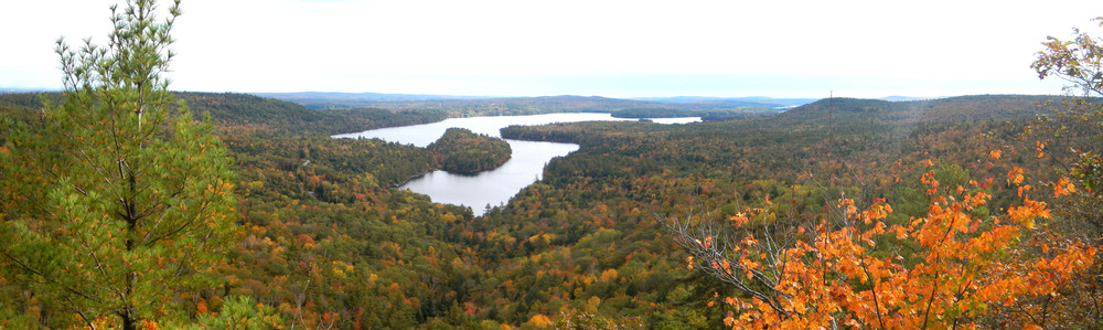
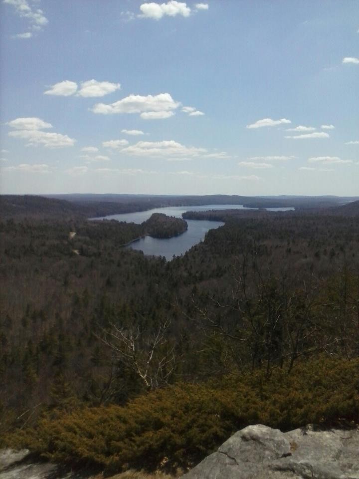
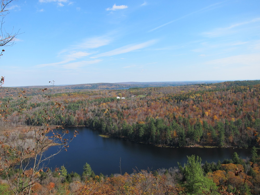
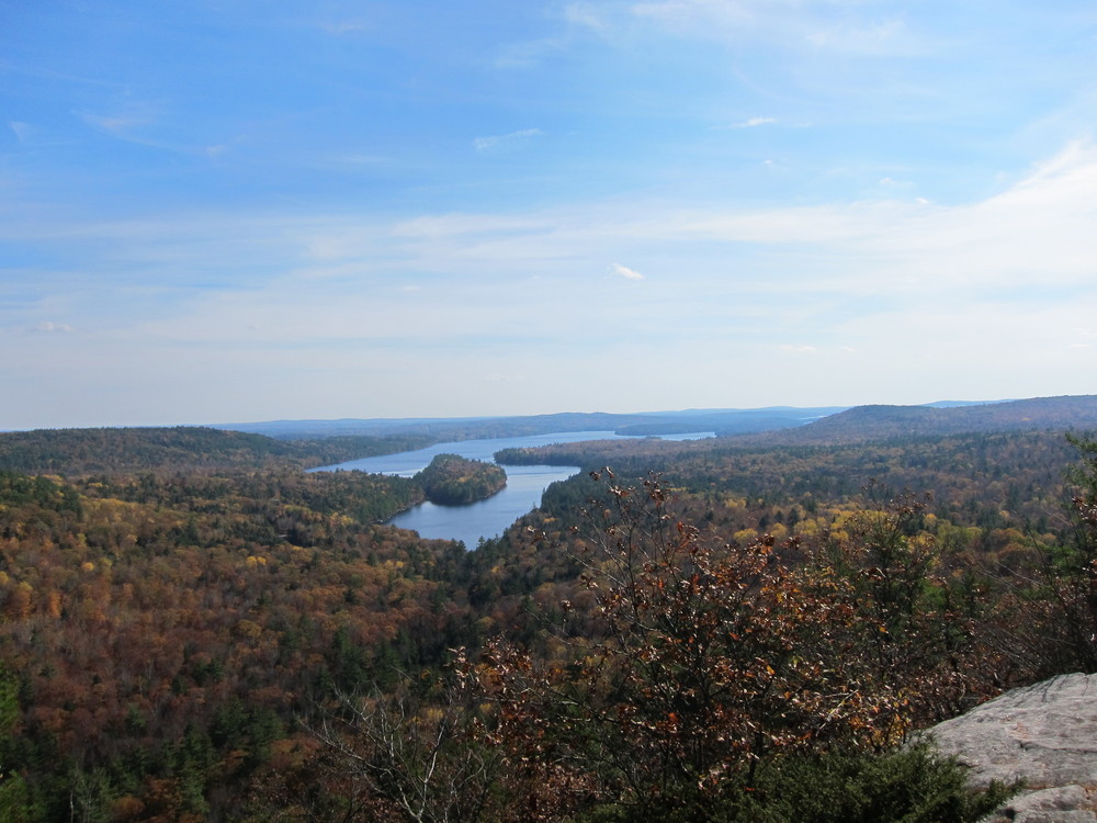
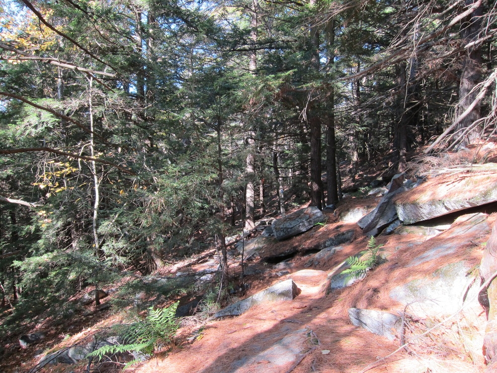
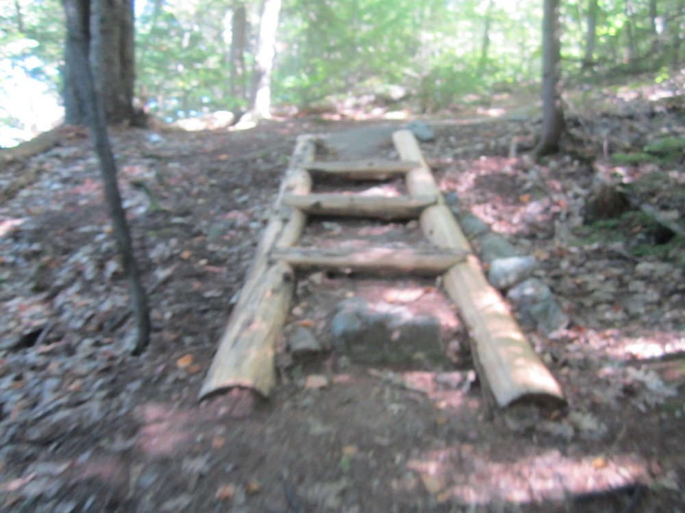
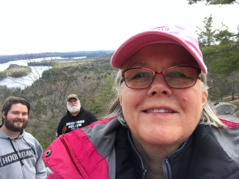
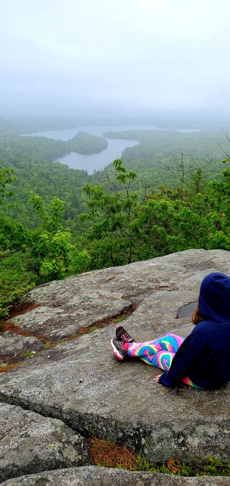
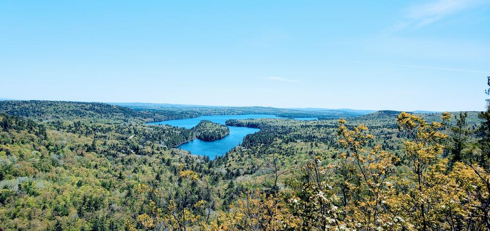
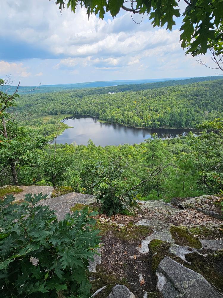
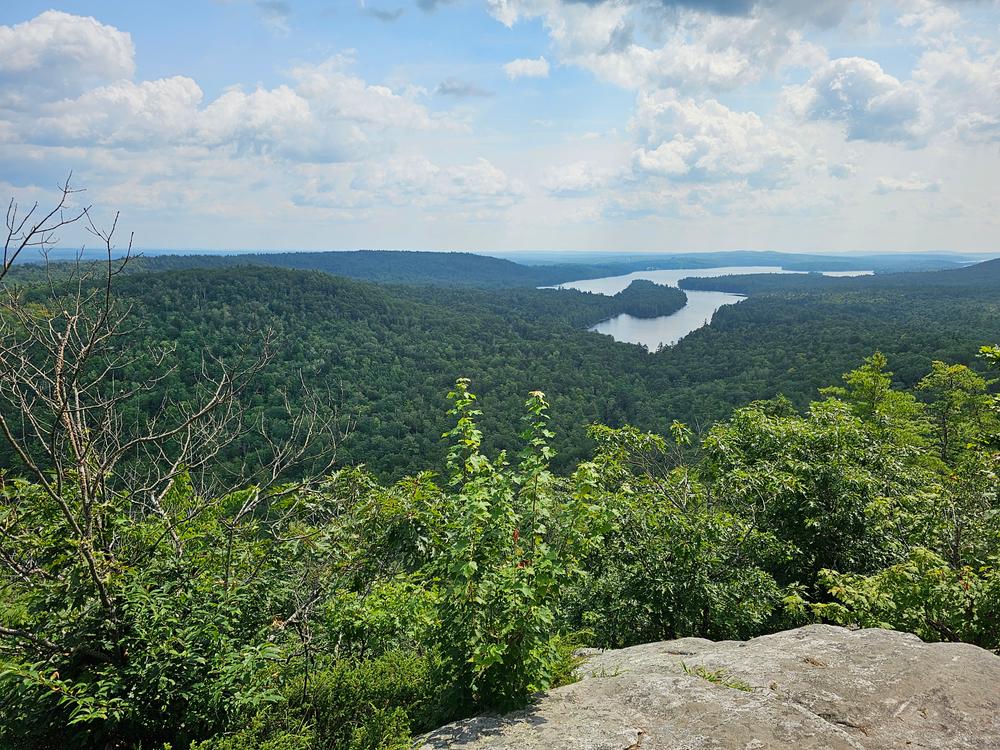
The trail heads east from the parking area and soon splits at the trail information kiosk. Stay left for a more direct path to the summit. After a short climb, the trail swings south and ascends the ridge of French Mountain (716') to reach a rocky precipice with stunning views of Long Pond. As the trail opens up near the summit, the first views are of tiny Whittier Pond to the east, Mount Phillip to the northeast, and Long Pond to the southeast. The trail continues along open rocks above steep cliffs to a viewpoint overlooking the northern end of Long Pond. From here you can also see Great Pond, The Mountain, and Belgrade Lakes Village.
Just south of the summit overlook, the trail turns west into the woods and descends several switchbacks before turning north and gradually descending through woods, back to the junction and parking area.
Obtained in 1990, French Mountain (716') was the first parcel of land acquired by Belgrade Regional Conservation Alliance (BRCA), then the Watson Pond Conservation Trust, now the 7 Lakes Alliance.
Visit the 7 Lakes Alliance online for more information or contact:

Respect Maine’s “Open Land” Tradition: In many places, private landowners allow recreational access. Show your appreciation by seeking permission, treading carefully, and educating yourself on this uniquely Maine tradition.
The trailhead is off Watson Pond Road, which leaves from the west side of ME Route 27 about a mile north of the intersection of ME Routes 27 and 225 in Rome. Continue down Watson Pond road 0.7 miles from ME route 27 and look for a paved pullout for parking on the eastern (left) side of the road.
Success! A new password has been emailed to you.
Wow, the nice views.
Enjoyed the company of a pit/bluetick mix who was running loose around the trail. He just hung out and was super friendly. He eventually wandered off. He had no id tag on his collar but was well fed and cared for by someone? Hope he made it home.. wherever that is??