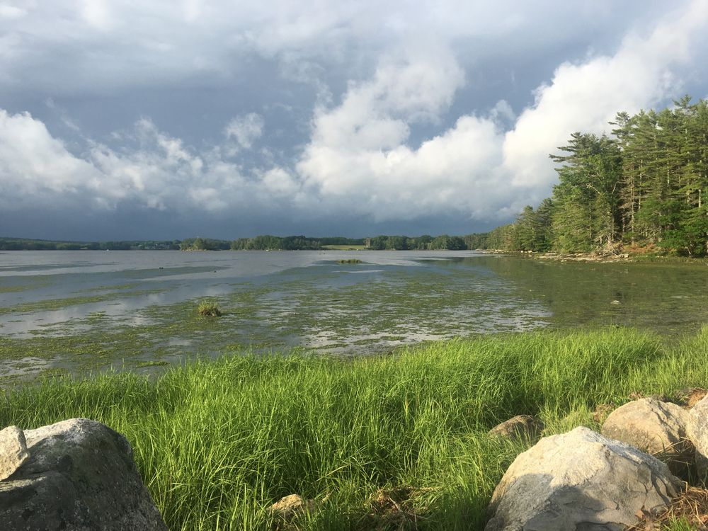
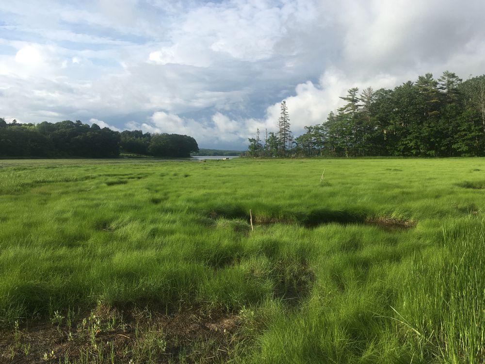
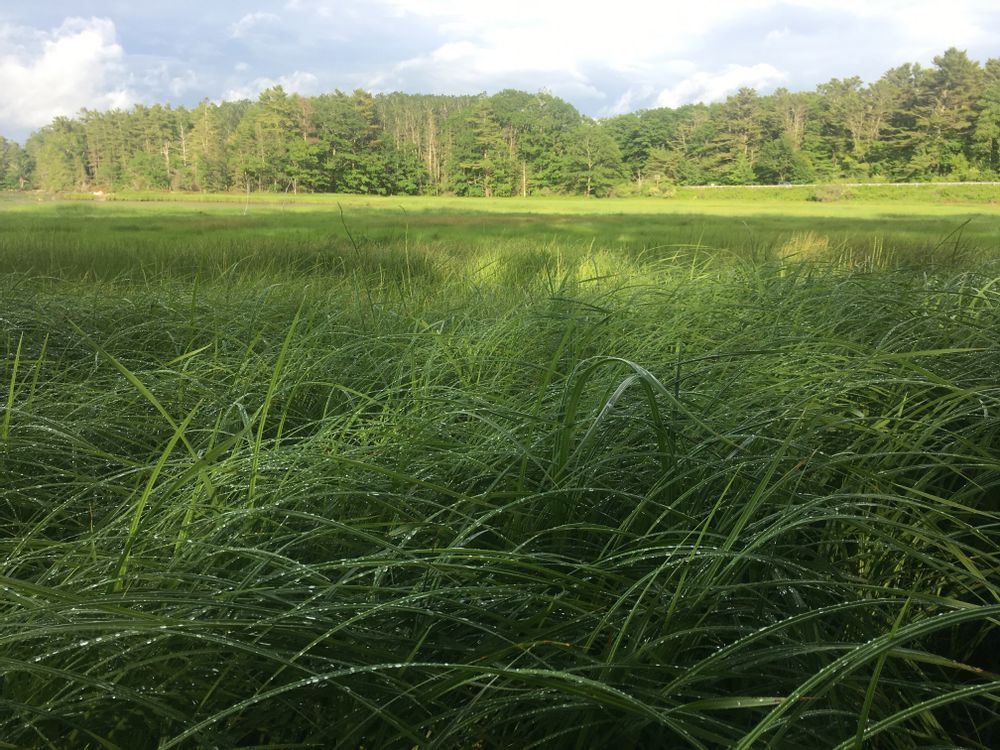
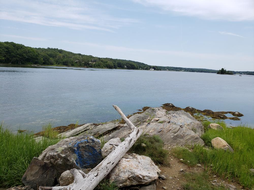
Beginning with boardwalks across a salt marsh, the three-mile Heritage Trail follows the shoreline of the Great Salt Bay before crossing under US Route 1 through an old sheep tunnel. Soon thereafter, a spur to the shore allows access to one of Maine’s most important archaeological sites – the great and ancient Indian shell heaps of Glidden Point. Continuing along the trail, hikers pass through stands of large white oaks and meander along beaver ponds, ending back at the northbound ramp to US Route 1.
Along with a large DRA conservation easement on private property, Salt Bay Preserve covers most of Glidden Point, which was bisected by US Route 1 in the 1960’s. For a more thorough guide to the trail’s diverse natural communities, please pick up a “Salt Bay Preserve” brochure at DRA.
Please note: this preserve was formerly known as the Salt Bay Preserve and Hart Family Heritage Trail.
Footing is wet along certain stretches. Consider the tide as you plan your hike. Trails are open dawn to dusk. No camping or fires permitted. or otherwise under control at all times. Above all, please do not dig in, climb on, or take shells from the oyster shell heaps. They are listed in the National Register of Historic Places and are legally protected.
To protect wildlife and for the sake of other visitors, dogs must be leashed.
For more information visit the Coastal Rivers Conservation Trust website, or contact:
![]()
From US-1 in Damariscotta head north on ME-215 for 0.2 Miles until Lincoln County Publishing is visible on the left. Please park in the Lincoln County Publishing lot close to Mills Road at the far end away from their office. Please do not block any of their vehicles. The trailhead is located directly across road from Lincoln county publishing.
The trail system has been closed due to the storm last December that washed out all the bog bridging. There is not a planned reopening date at this time. Read more here.
Success! A new password has been emailed to you.