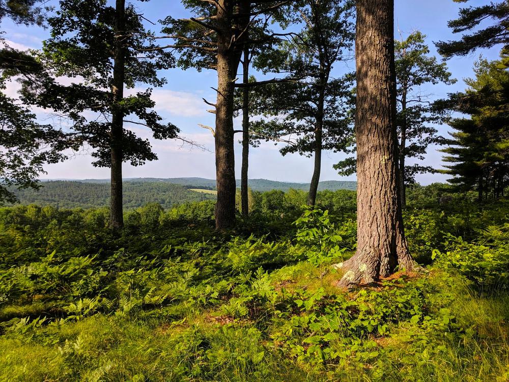
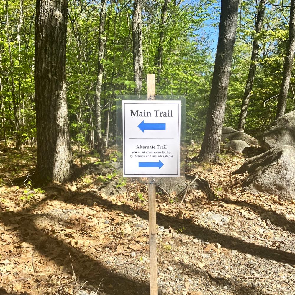
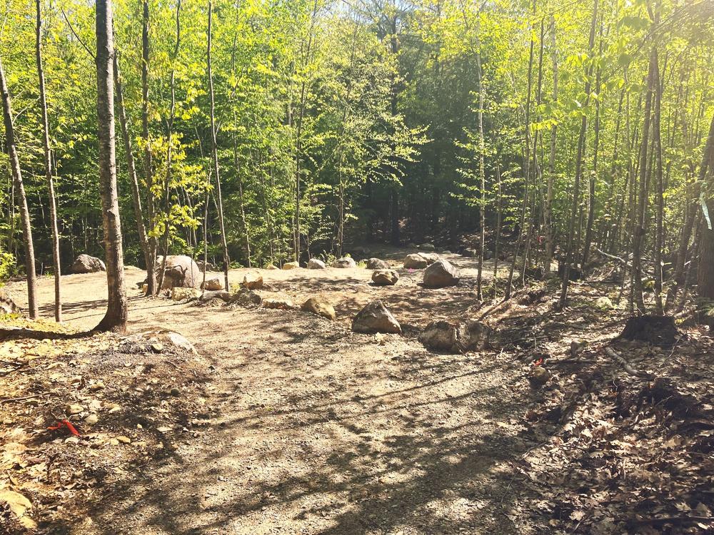
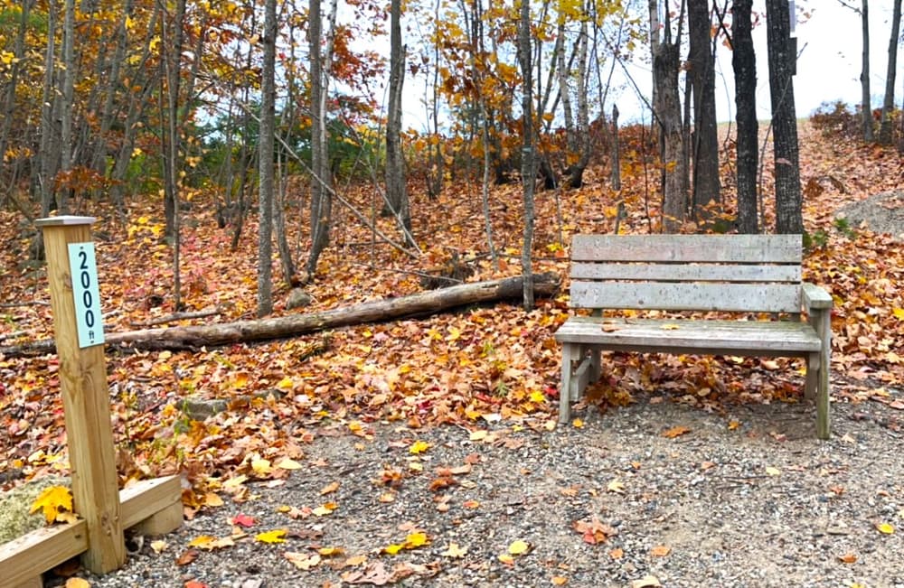
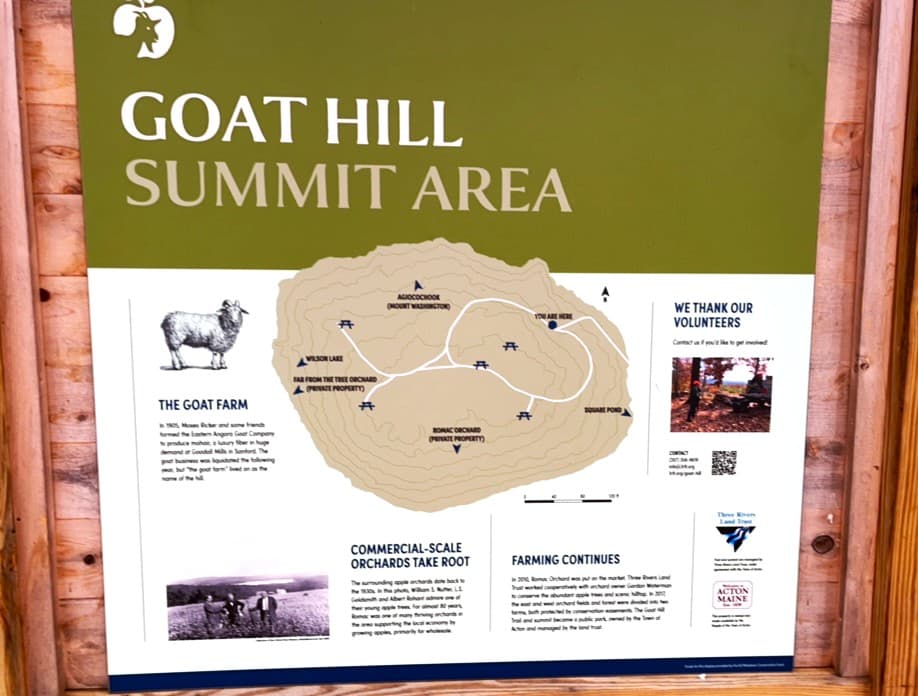
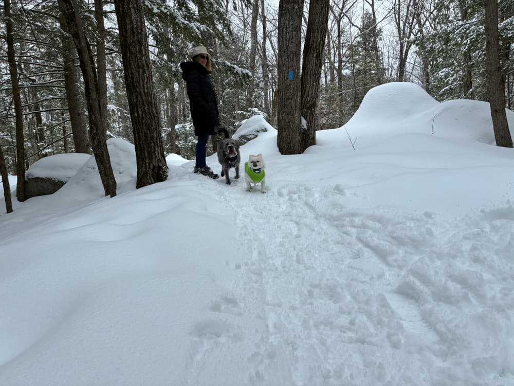
A gravel trail runs approximately 0.7 miles from the trailhead to the height of the summit, rising 151 feet in elevation, using several long switchbacks. There is also a short loop to the east that does not not meet accessibility standards and includes steps.
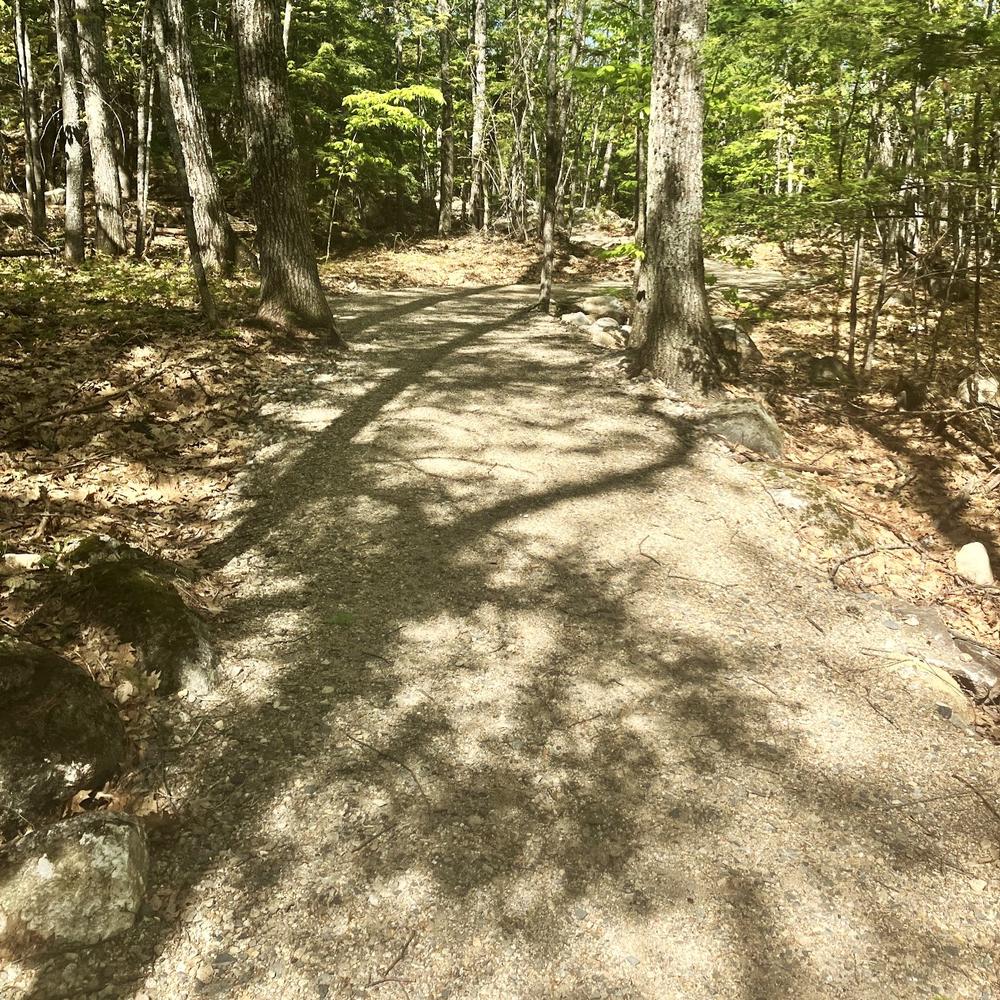
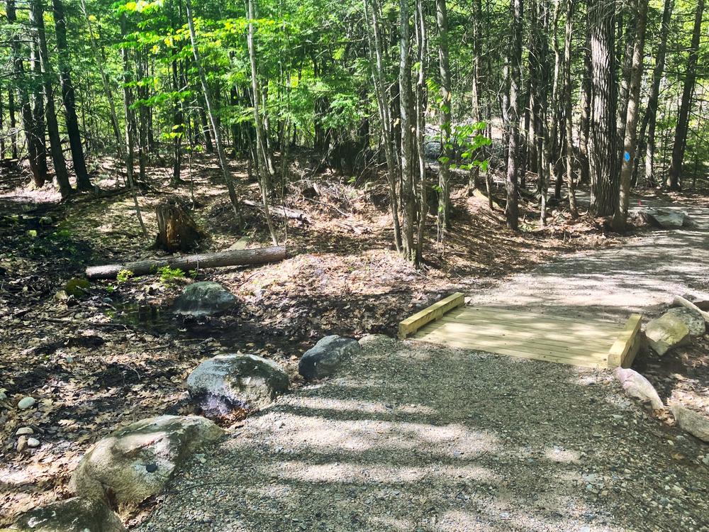
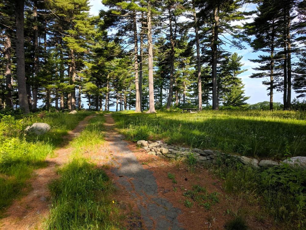
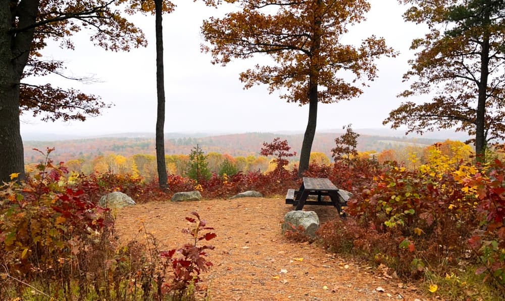
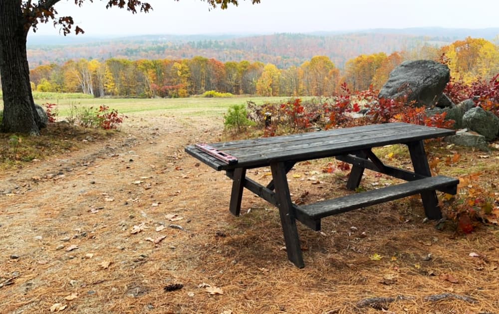
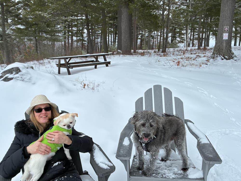
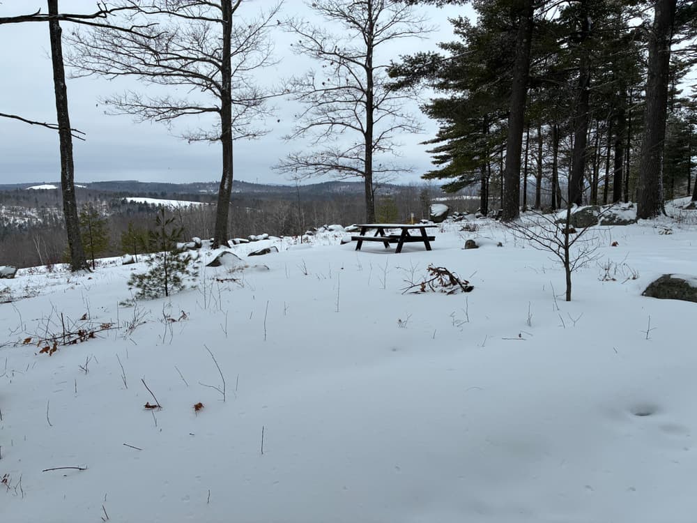
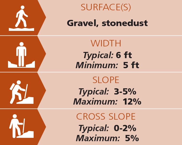
The main accessible trail has a minimum width of five feet, and is typically 5-7 feet in width. The surface is a compacted ¾-inch crushed gravel, with two small wooden bridges that are flush with the trail surface. At the summit, an accessible circular path about 500 feet in length, and with the same gravel surface as the main trail, connects to several viewpoints and picnic table pads.
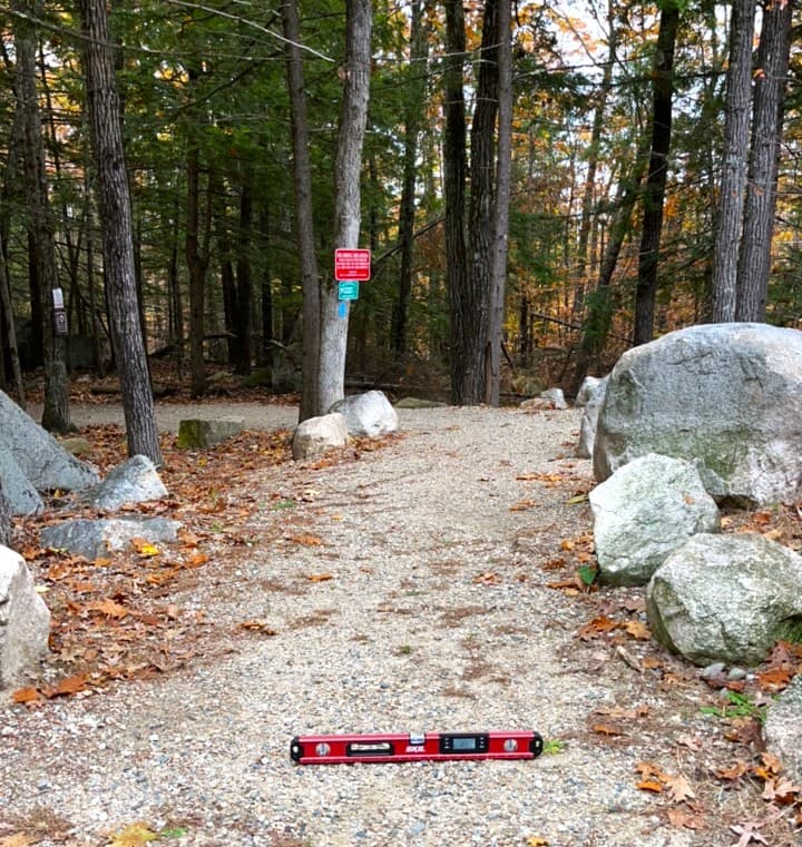
The average slope is 3.5%. Many slopes on the trail portion are 6% to 8%, with a short section with a maximum slope of 12%. The maximum length of running slopes over 5% is 200 feet. Shorter resting intervals are provided for slopes greater than 5%. The cross slopes on the trail’s treadway are typically 0-2% with a maximum crossslope of 5%. There are side slopes greater than 5% just off the treadway - use caution and stay on the treadway.
There are no obstacles over one inch in the treadway. Larger stones are used to denote where side slopes are difficult or severe.
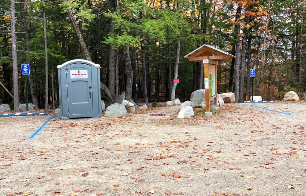
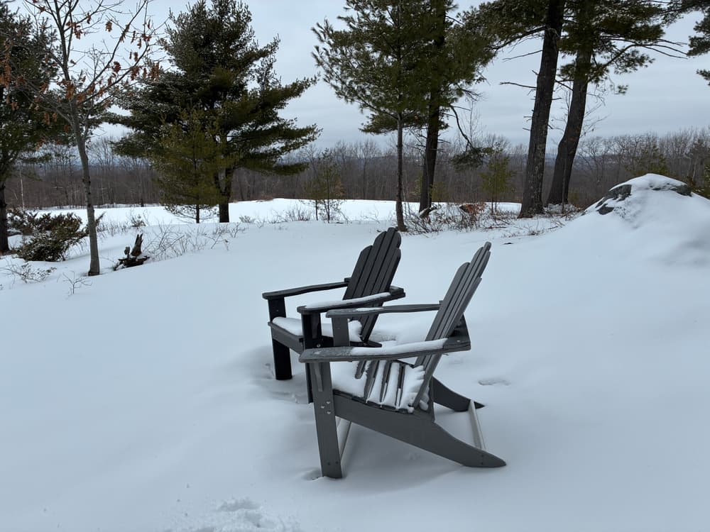
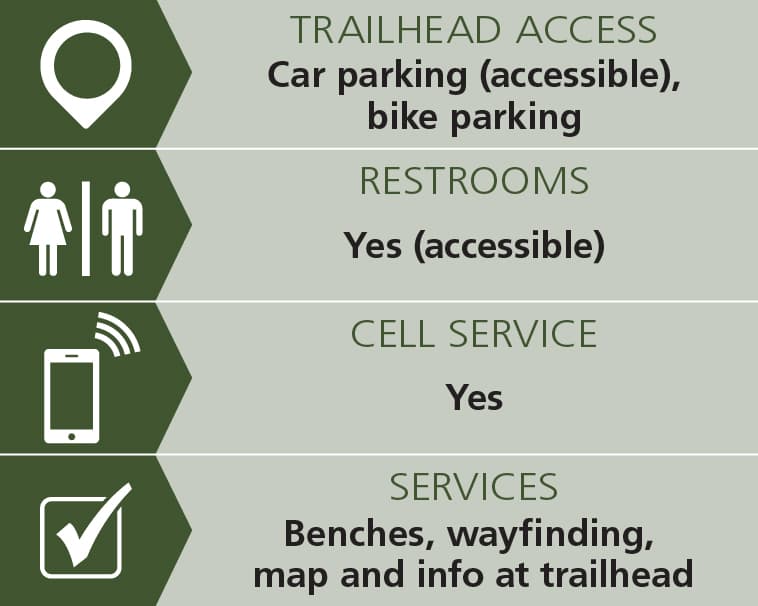
There is an accessible portapotty at the trailhead from the late spring through fall, but there are no such facilities at the summit of Goat Hill. At the summit, there are several picnic tables.
Trail conditions can change without warning. Trail last assessed: 10/30/2025.
Mountain biking is NOT permitted on these trails, including the gravel trail running to the summit.
For additional information, visit the Three Rivers Land Trust website, or contact:

Store Food Securely: Use animal-resistant containers to store your food.
From the intersection of ME-109, H Road, and Sanborn Road (which is 7.8 miles north of Springvale on ME-109), proceed north on H Road 2.2 miles to the Goat Hill parking lot on the left.
Success! A new password has been emailed to you.