Hammond Ridge Trail System - Skiing

These world class Nordic ski trails were designed by preeminent designer and Olympian John Morton. The terrain, featuring views from Black Cat Mountain, is a mix of exhilarating downhills, invigorating uphills and everything in between.
Trail Activity
Cross-country-skiing
Length
14.20 miles, Network
Difficulty
Easy, Moderate, Advanced
Town
Millinocket
Surface
Snow - Groomed
Pets
Not Permitted
Fees
No

Description

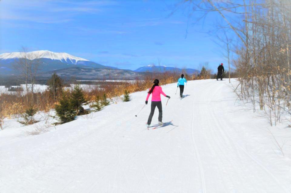
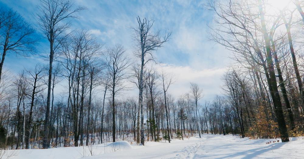
BEGINNER/INTERMEDIATE TRAILS

TWIN PINES LOOP (3.0 miles) has some hills, and provides access to all the rest of the trails in the network.

SADDLE TRAIL (2.2 miles) is a gentle trail through hardwood forests.

LAKESIDE TRAIL (1.7 miles) traverses mostly flat terrain near Millinocket Lake, with the lower section of the trail providing views of the lake.
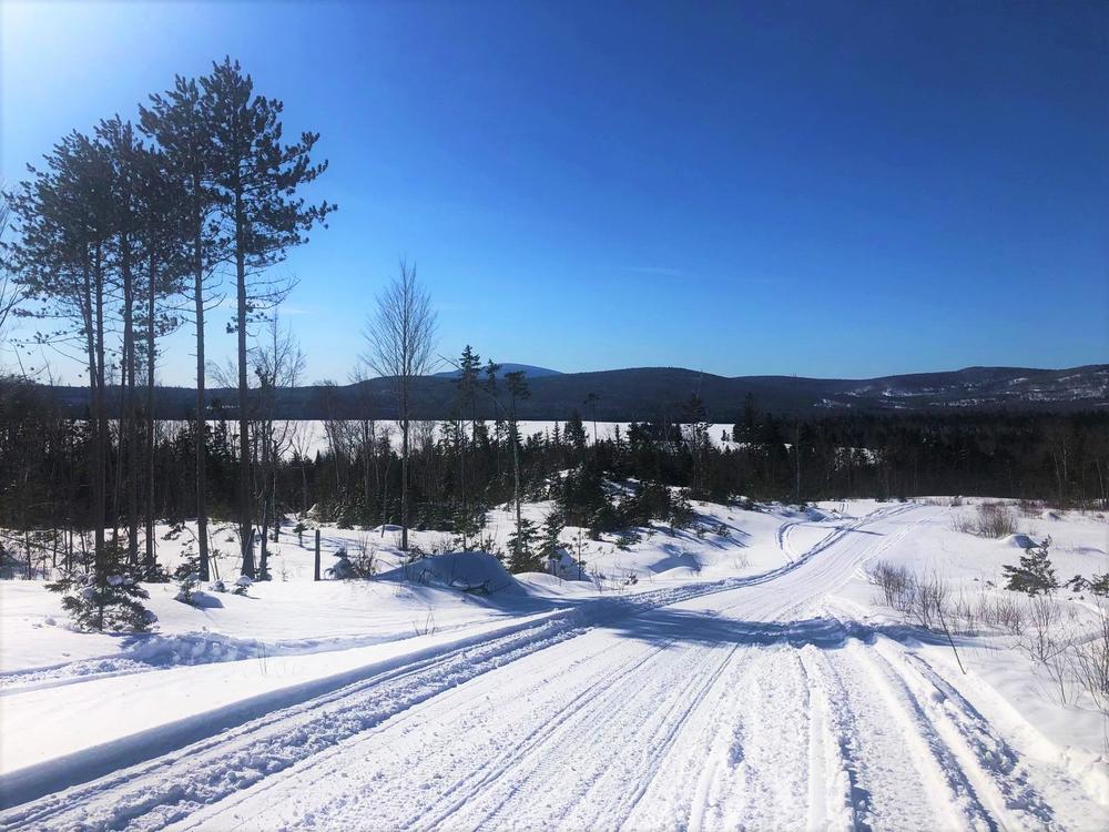
INTERMEDIATE TRAILS

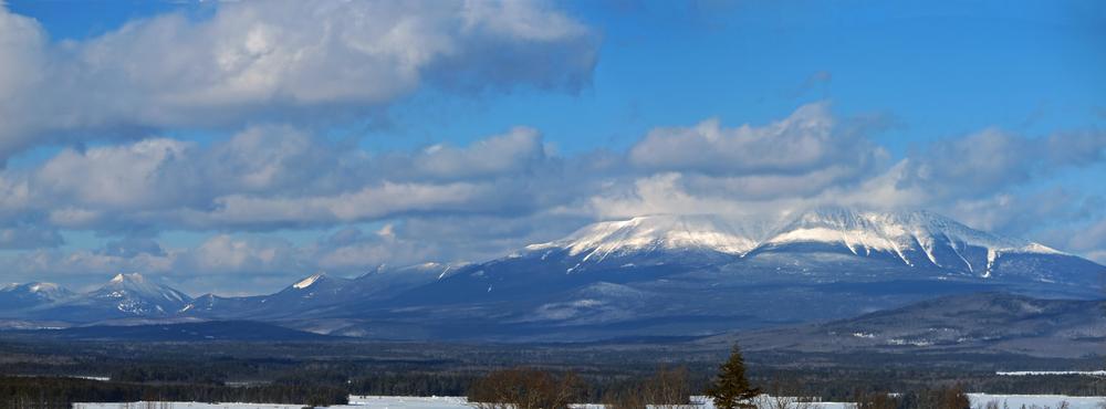
KATAHDIN VIEW TRAIL (1.6 miles) offers a moderate climb up to a spectacular view of Katahdin, and a moderate ski back down.

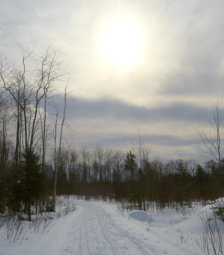
HAMMOND RIDGE (3.2 miles) is a long, big climb and descent, with an easy return to the south.

CHALLENGING TRAILS

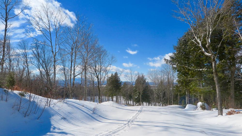
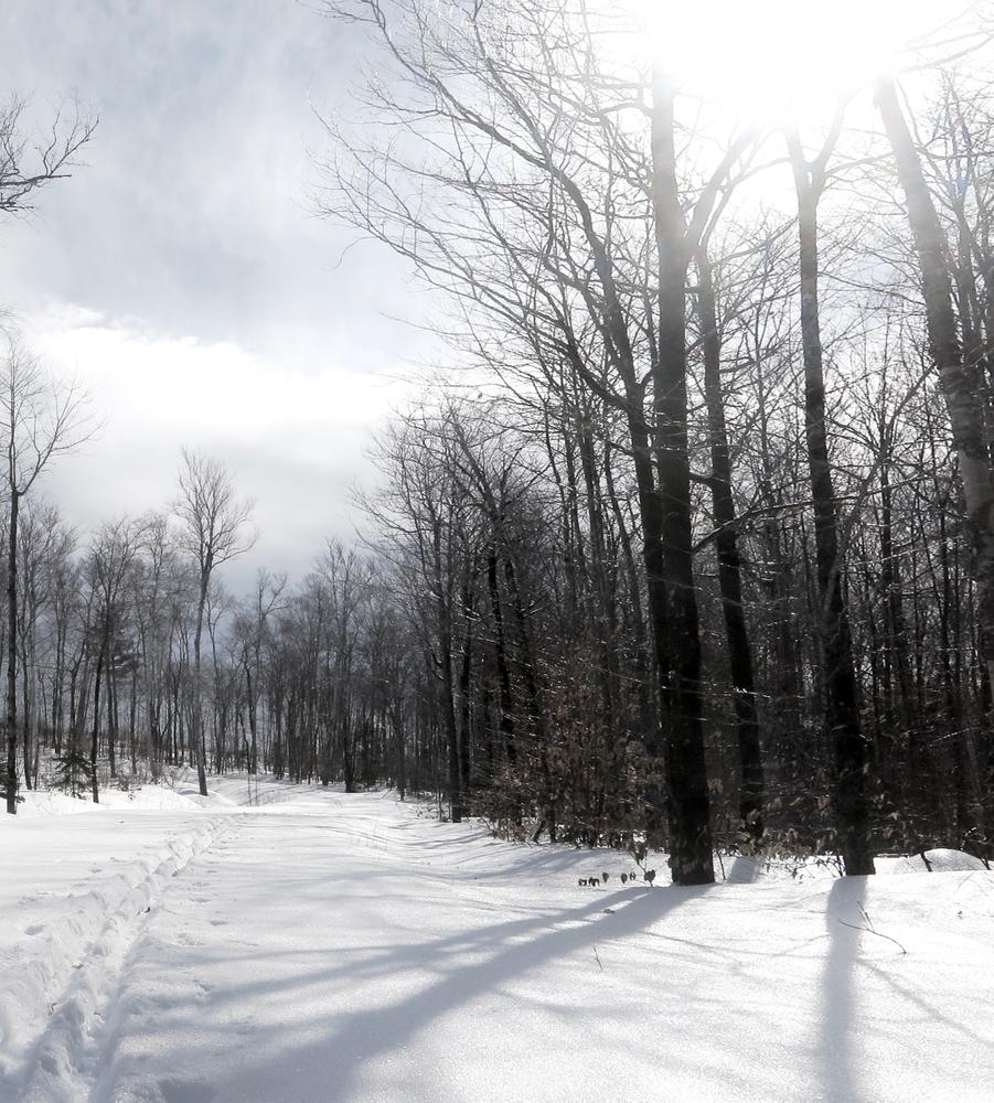
BLACKCAT TRAIL (2.3 miles) consists of steep climbs and descents, but the good views to the southwest make the effort worthwhile.

Other Information

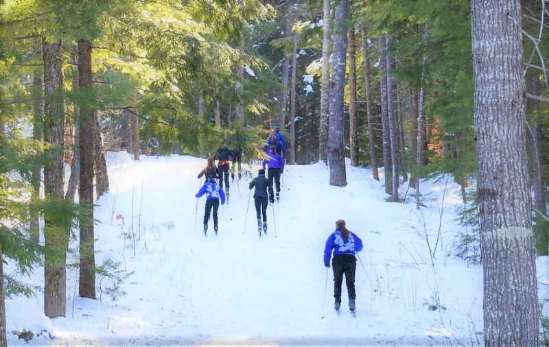
Ski equipment is available for rent from the New England Outdoor Center, as are skate-ski instructors for those who could use a lesson. Contact NEOC at (800) 766-7238 for more information.

Trail Manager

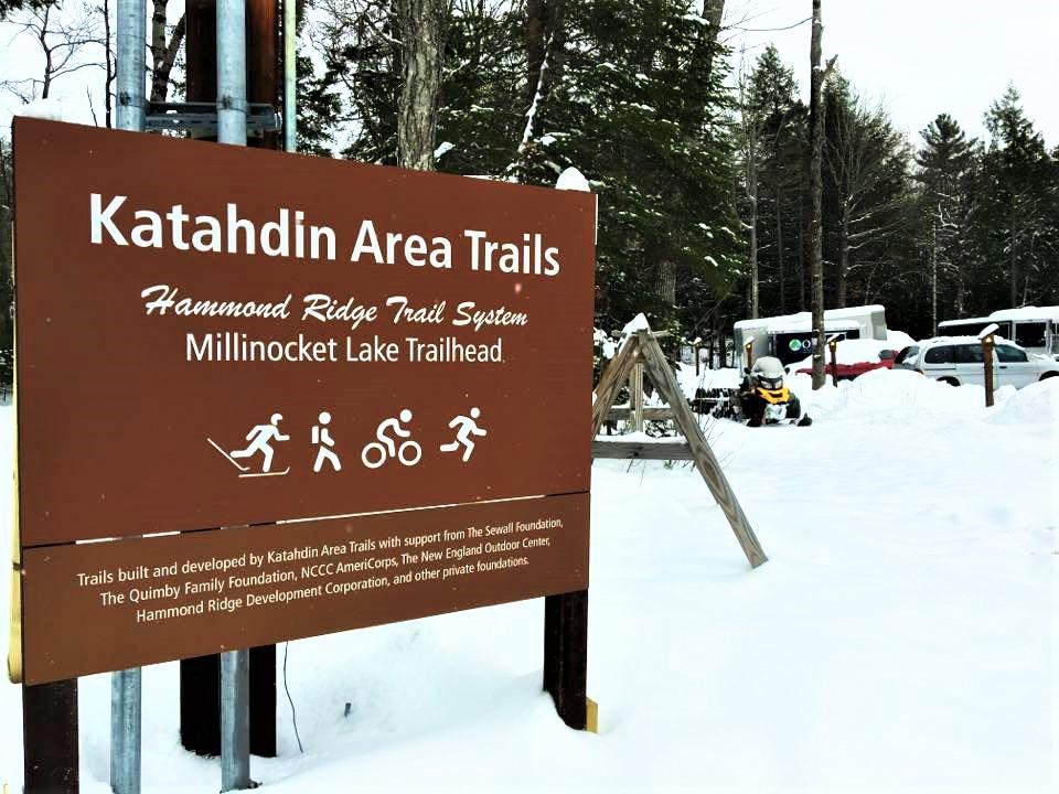
For more information, visit the Katahdin Area Trails website, or contact:

Katahdin Area Trails

Katahdin Area Trails
PO Box 669
Millinocket, ME 04462
Phone: (207) 723-5438
info@katahdinareatrails.org

Nearby Events

VIEW EVENTS CALENDAR

Trail Tips

Travel and Camp on Durable Surfaces
Walk single file in the middle of the trail. Wear the right shoes and enjoy the mud – you're in the great outdoors!
Legend
Hide All

Trailhead Information

From Katahdin Avenue in Millinocket, take Bates Road, which turns into Millinocket Road/Baxter Park Road towards Baxter State Park. 8.2 miles from the turn off Katahdin Avenue, turn right on Blackcat Road, which is marked with a New England Outdoor Center sign. The trailhead at NEOC is at the end of the road, about one mile down.

Click on a parking icon to get custom directions
Please Log In or Create Account to add comments.
These awesome businesses support our goal of connecting people to outdoor adventures in Maine!
Hang Tight!
Nearby services are loading
No Results
No Services Found
SHARE THIS TRAIL

Add Trail Log

Please wait…
Join In on the Fun!
Log in or create an account below to unlock all the great features of Maine trail finder: keep track of trails you want to do, preserve memories of trails you’ve done, earn badges, and more!
Your log in attempt was not successful. Please try again.
    Lost your password? Reset your password
    Don't yet have an account?
    There was an issue with your submission. Please try again.
      * Indicates required field
      Already have an account? Login here
      Enter your username, and we will send you a new, randomly generated password to your email account.
      There was an issue with your submission. Please try again.

        Success! A new password has been emailed to you.

        Log in now

        Please wait…