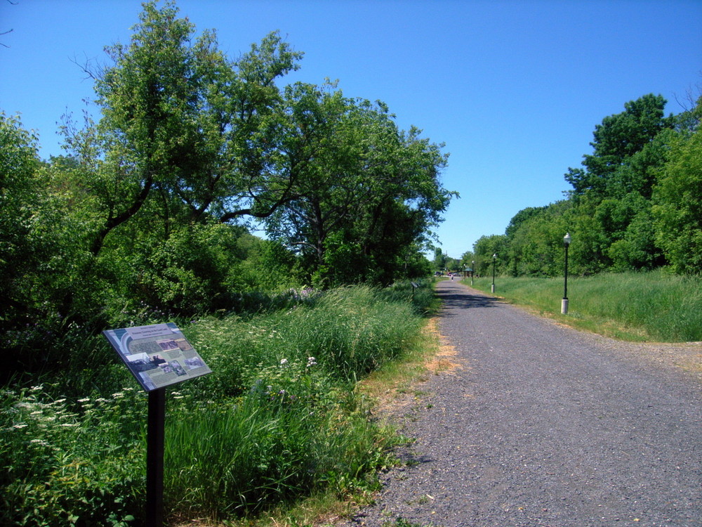
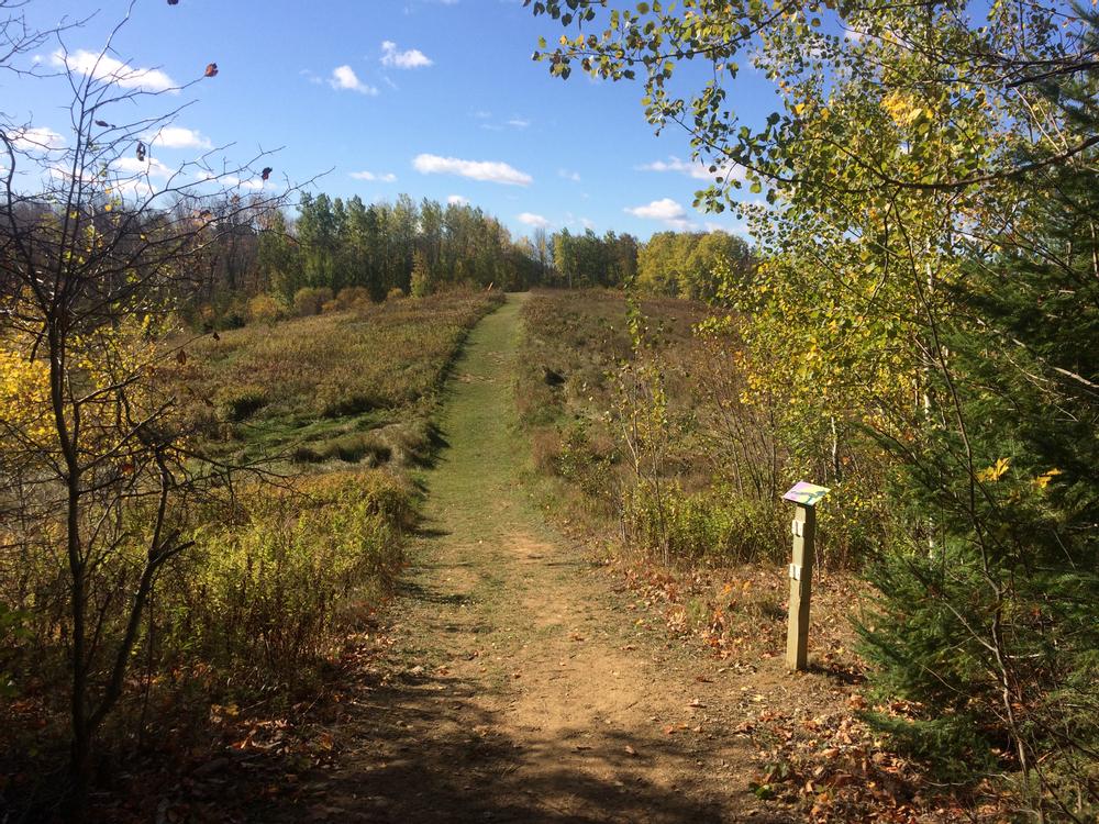
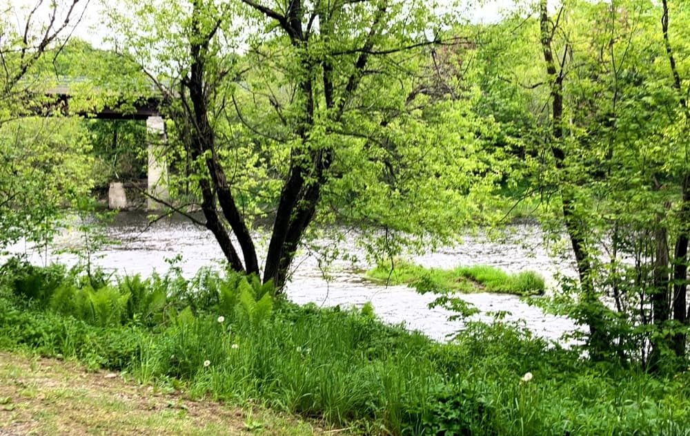
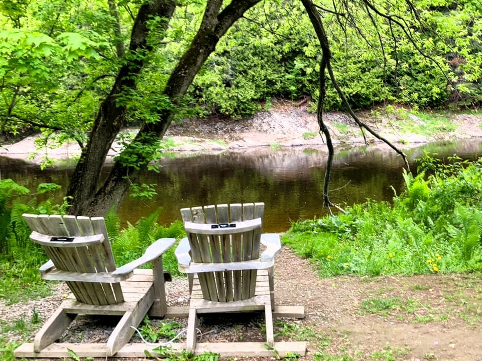
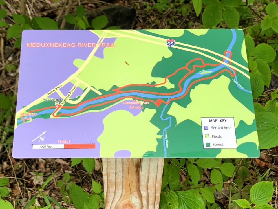
The non-motorized trail is a wide, gravel path that runs parallel to Meduxnekeag River in Riverfront Park and then follows the river and loops through the fields and forests between the Park and I-95. The trail is open to walking, birding, fishing, biking, picnicking and skiing. Please be prepared for changing conditions.
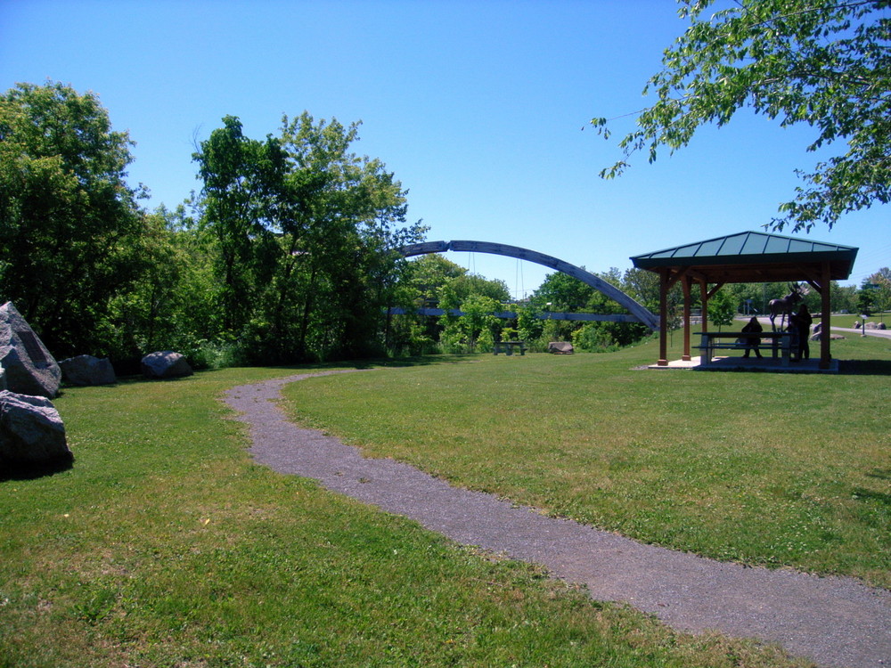
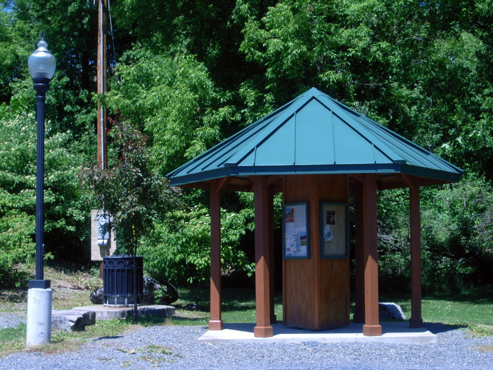
Riverfront Park, dedicated in 2009, has a large, sheltered picnic area. A 17,000-pound bronze moose statue sits next to the parking lot, greeting visitors to the park.
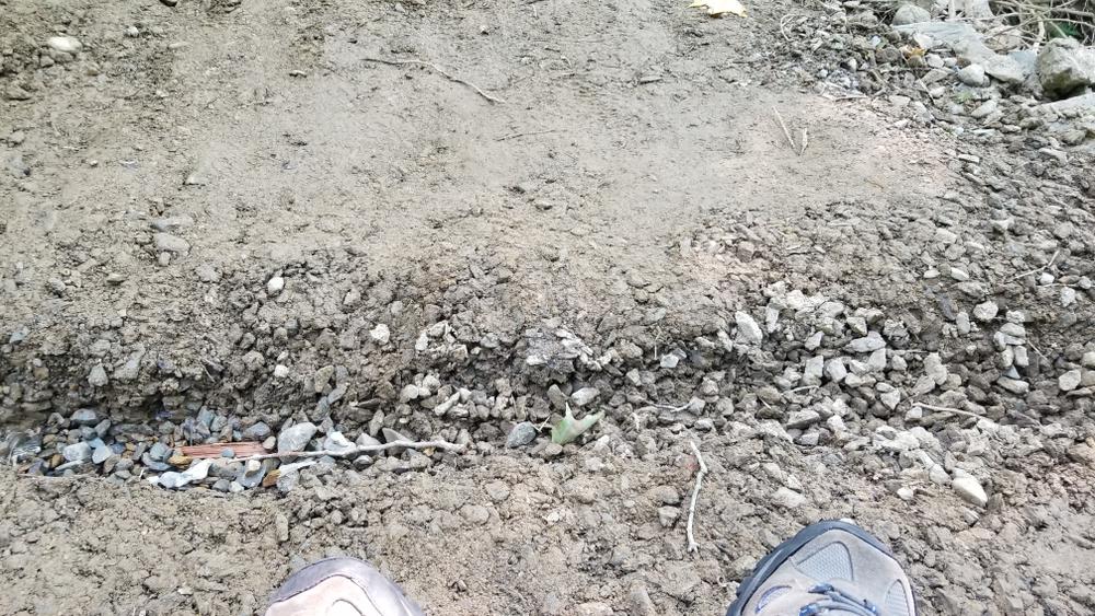
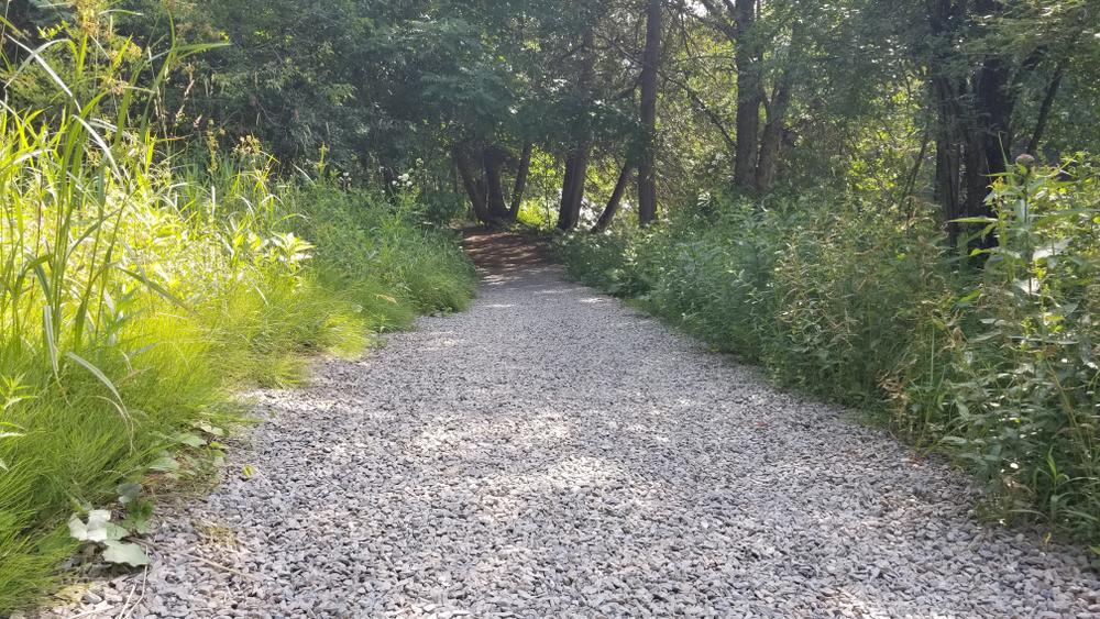
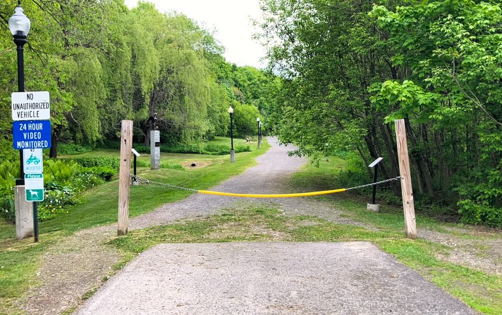
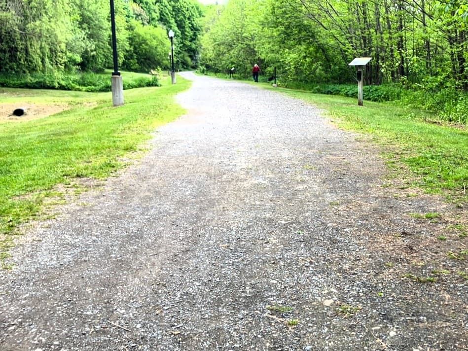
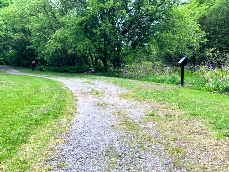
The entrance to the trail in the park has a chain across it, with 6 feet on its right side to pass by it, but with significant erosion in the grass and dirt surface. The trail heading north from the park along the northern bank has a wide, hard-packed gravel surface with minimal grades, typically of 0-2%. Before passing under the Highland Ave bridge, the trail is usually about 9-12 feet wide, past the bridge, about 5-6 feet. See Trail Access Information & Considerations below for more details on these access(ible) experiences.
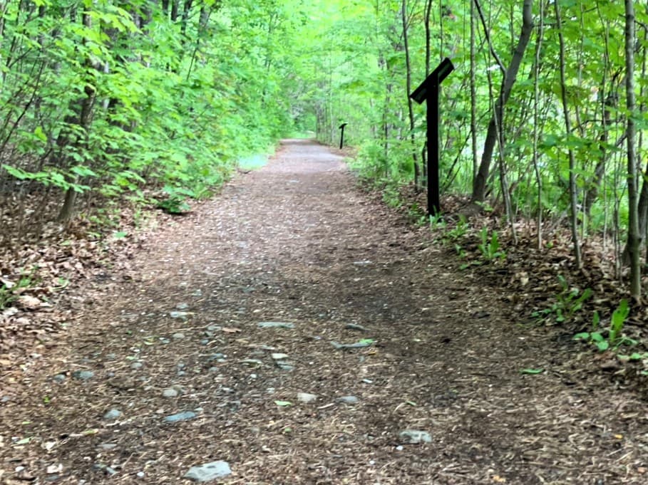
At the junction with the Lincoln Street trailhead, the trail surface changes to hard-packed dirt with medium-sized rocks in the tread. Past the next junction with a trail to the west leading away from the river, the trails include steeper gradients.
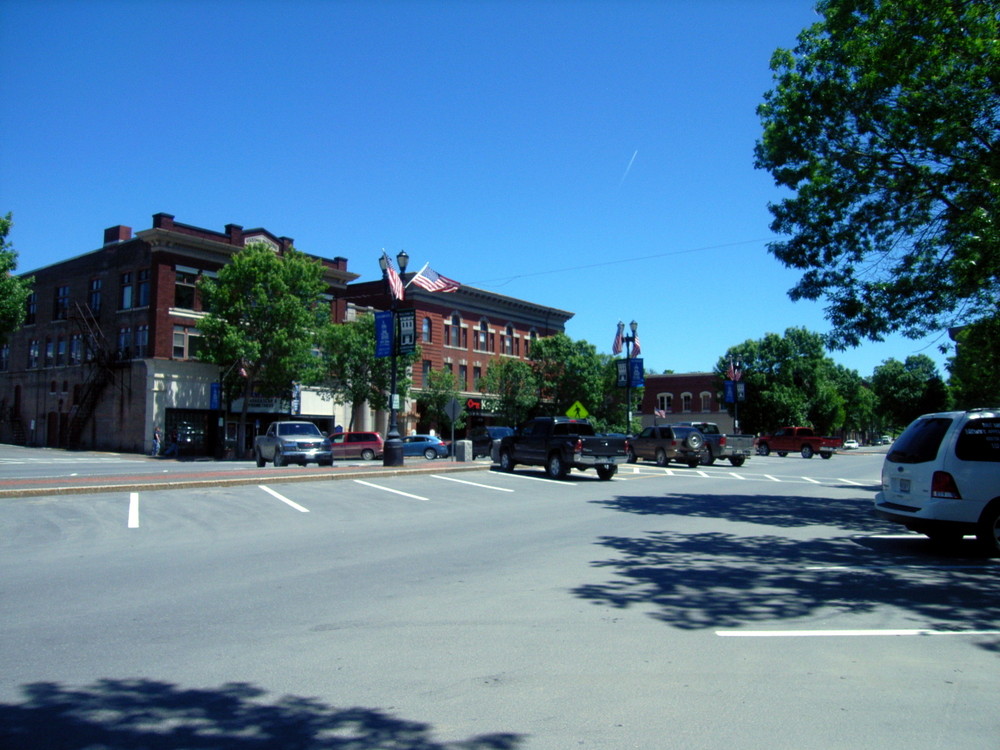
From the park, hikers can also walk across the Meduxnekeag River via the Gateway Crossing Footbridge, to Houlton's historic downtown Market Square, where one can find boutiques and shops to stop in and make a purchase, have a latte, a snack, or just look around. The Gateway Crossing Footbridge also provides access to the park and the trail from downtown Houlton. With trails on both sides of the river and bridges to connect them, a loop of about 3.4 miles can be made, up one side of the river and down the other.
Read about MTF Accessibility Ambassador Enock Glidden's visit to the park and trail using his wheelchair at MTF Stories.
(Applies to section of trail shown as Access(ible) Experience in Trail Map)
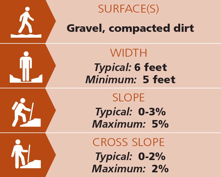
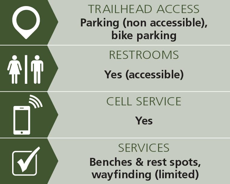
Trail conditions can change without warning. Trail last assessed: 5/29/2026.
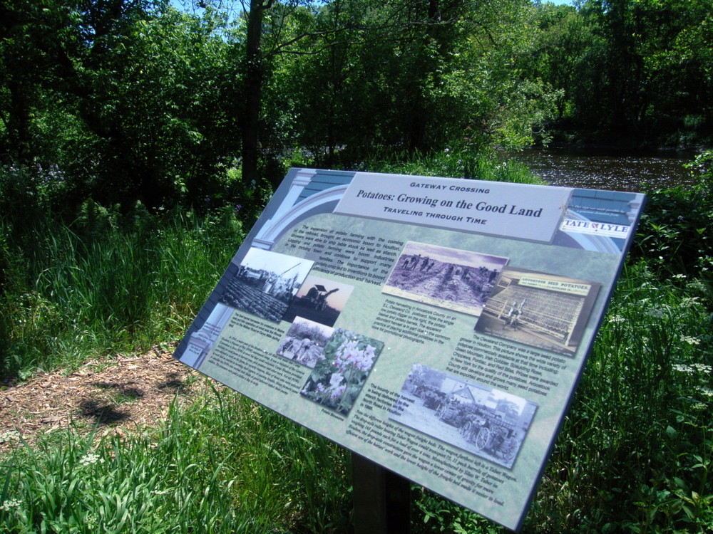
In the park and along the length of the trail are a number of installed, educational plaques that have graphic illustrations and narrative explanations of local history, wildlife, and plants.
Pets are allowed but their waste must be removed. Riverside Park provides dog waste bags without charge.
Motorized vehicles, camping and fires are prohibited.
Please do not litter.
Visit the Town of Houlton online for more information, or contact:

Plan for Changing Weather: Maine’s weather can turn fast—be weather wise and pack layers, rain gear and check the forecast before heading out.

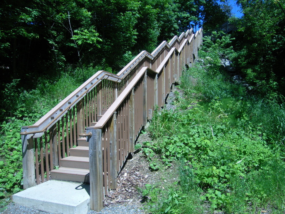
To get to the parking lot, head north on US-1/US-2/North Street away from the center of town and turn right onto Mill Street. The parking lot is shortly after on the left. The trailhead is located on the north side of the parking lot. The trail can be also accessed from the north side of the Highland Avenue Bridge following a wooden stairway. A mid-sized public parking lot is located in the Park next to the Meduxnekeag Bridge.
Success! A new password has been emailed to you.