Overview
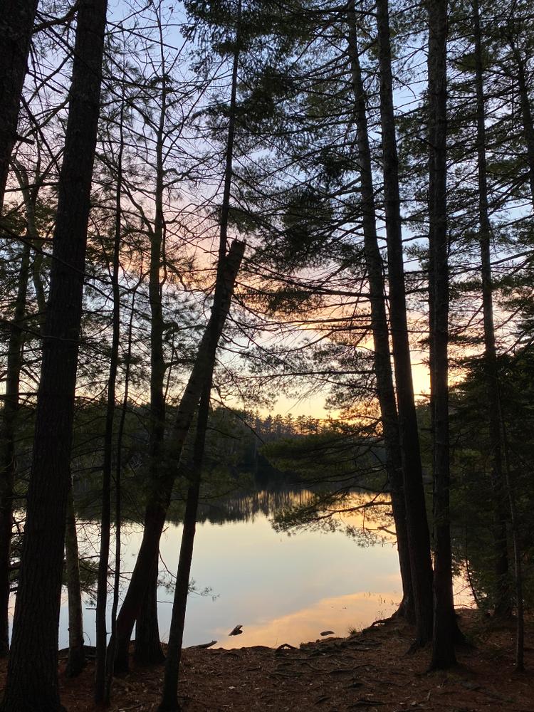
This is a good trail to hike or snowshoe. Cross-country skiing can be a challenge because of numerous ups and downs. In any season, the LRCT is a gem, and its location right in town makes it easy to get to. The two reservoirs and the Little River are picturesque, peaceful, and hospitable to wildlife. The trail can be hiked in sections or the entire 5 miles.
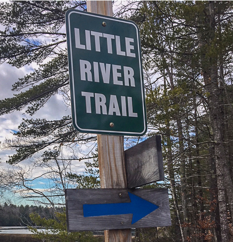
From the South Trailhead kiosk at the Belfast Water District, the trail follows blue blazes one mile to the Perkins Road, continues three more miles to ME-52 at the Walsh Ball Fields, and one last mile to the University of Maine Hutchinson Center on ME-3.
The Hike
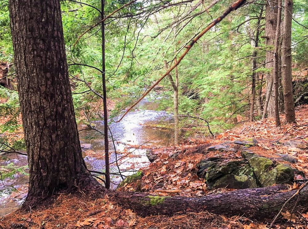
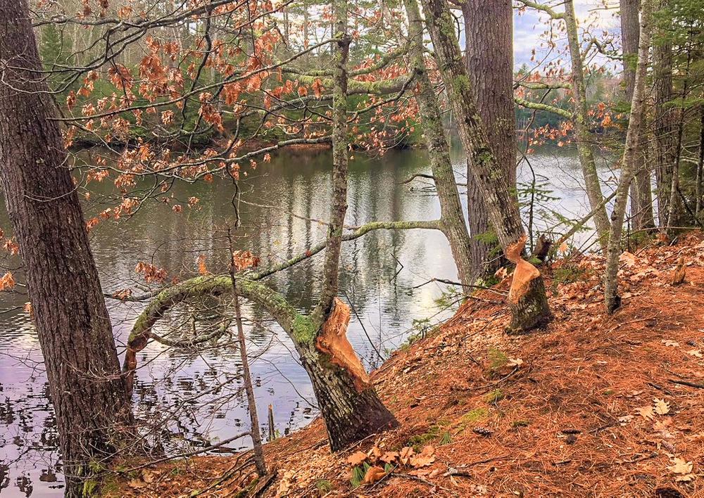
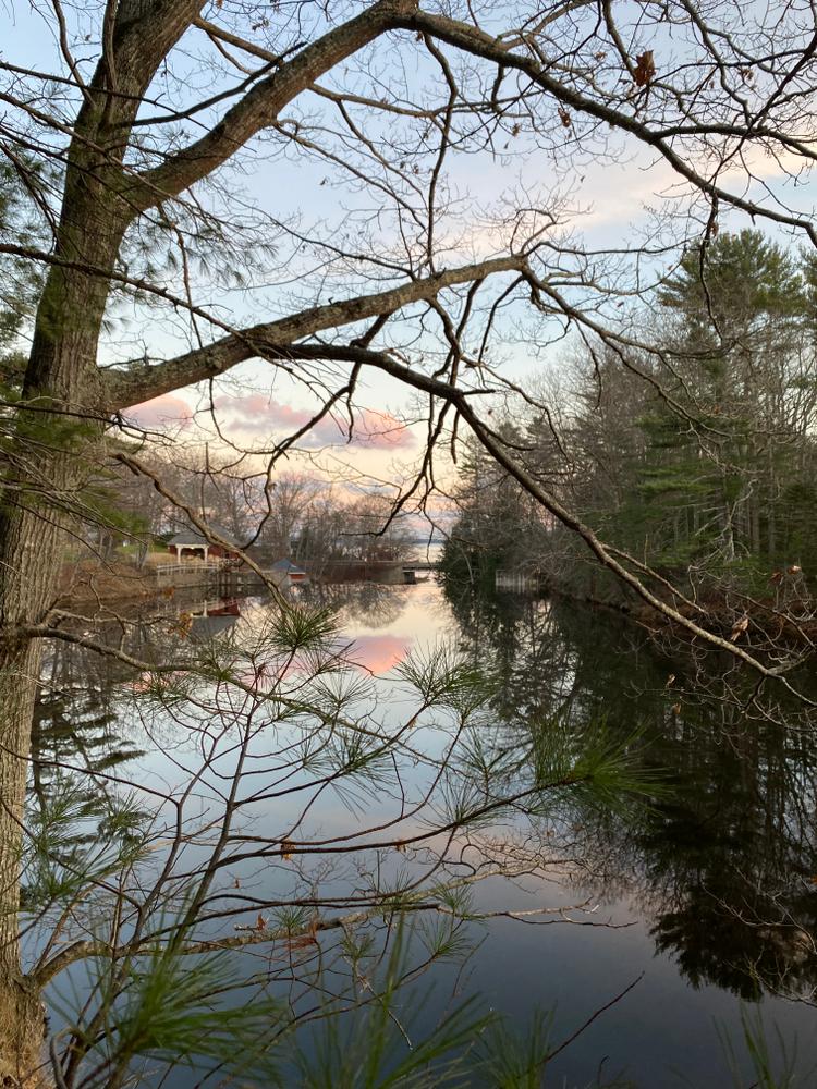
Before leaving the Water District parking lot, take time to look at the Lower Reservoir. Many species of waterfowl live and feed around its margins. The trail skirts its north shore under tall white pines, and as the reservoir narrows into the river, the trail ascends and descends hilly terrain. The mature woods are populated by nesting songbirds in spring and summer, and offer habitat for resident winter birds. After a mile, the trail comes out to the Perkins Road at a large hayfield. (See Perkins Road access.)
To continue, turn left, walk 20 yards, and cross the Perkins Road to the dam and the next section of the trail around the Upper Reservoir. The trail begins at three big rocks which prevent vehicles from entering, and follows blue blazes along the water’s edge. The reservoir gradually narrows to the Little River’s original stream, and continues through mixed forest, with some huge hemlocks and a large glacial erratic boulder beside the river. The trail continues from here another 1.3 miles to ME-52 at the Walsh Ball Fields, for a total of 4 miles (see ME-52 Trailhead.)
To continue one more mile, cross ME-52 and turn left onto the sidewalk for a few paces. The trail leaves the road and passes behind the YMCA, still following blue blazes, through the Community Garden, over a bridge and behind Troy Howard Middle School. It runs past the Garden Project and Greenhouse, along the back of the parking lot, and turns right to skirt athletic fields. From there it enters hemlock woods along a brook, crosses the brook on a bridge, and follows blazes through maturing woods. It ends at the University of Maine Hutchinson Center on ME-3 (see North Trailhead.)
The trail gratefully uses land belonging to Waldo County, the town of Belfast, and private landowners.
Visit the Belfast Bay Watershed Coalition website for more information, or contact:
Yield to Others on Trails: Uphill hikers, equestrians, and working vehicles or equipment have the right of way.
South Trailhead:
From the traffic light at US-1 and ME-52 in Belfast, drive on US-1 south for 2.4 miles, and turn right into the Belfast Water District. Park at the back of the lot where the trail starts at a kiosk.
Perkins Road access:
From the traffic light at US-1 and ME-52 in Belfast, drive on US-1 south for 2 miles to Perkins Road. Turn right on the Perkins Road and go 0.7 miles to the junction with Lower Congress Street. Park on the left (south) shoulder. Look for a trail sign on the north side of the road, or for blue blazes from the south side of the road.
Rt 52 Trailhead:
From the traffic light at US-1 and ME-52 in Belfast, drive on ME-52 west for 200 yards and turn left into the parking lot for the Dog Park and Walsh Ball Fields. Park at the end of the Ball Field Parking lot, where the trail starts at a kiosk and runs east to the Belfast Water District on US-1 (4 miles). The trail also crosses ME-52 from this parking lot, turns left down the sidewalk and back into the woods behind the YMCA and Middle School, one mile to ME-3 at the University of Maine Hutchinson Center.
North Trailhead:
From the US--1 overpass on ME-3 in Belfast, drive west for 1 mile and turn left at the University of Maine Hutchinson Center. Park at the back of the parking lot near the trail sign.
Success! A new password has been emailed to you.