Main Stream Preserve

This easy river walk passes by the remnants of several old homestead settlements.
Trail Activity
Walking Snowshoeing
Length
1.00 mile, Network
Difficulty
Easy
Town
Stockton Springs
Surface
Dirt/Forest Floor, Grass
Pets
Permitted
Fees
No

Description

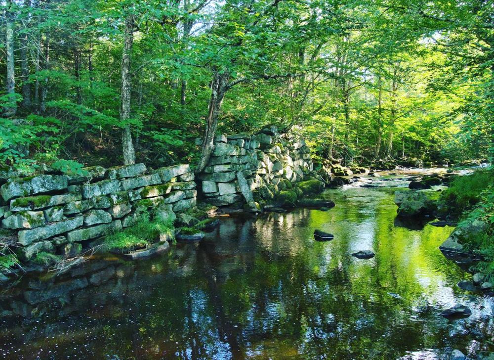
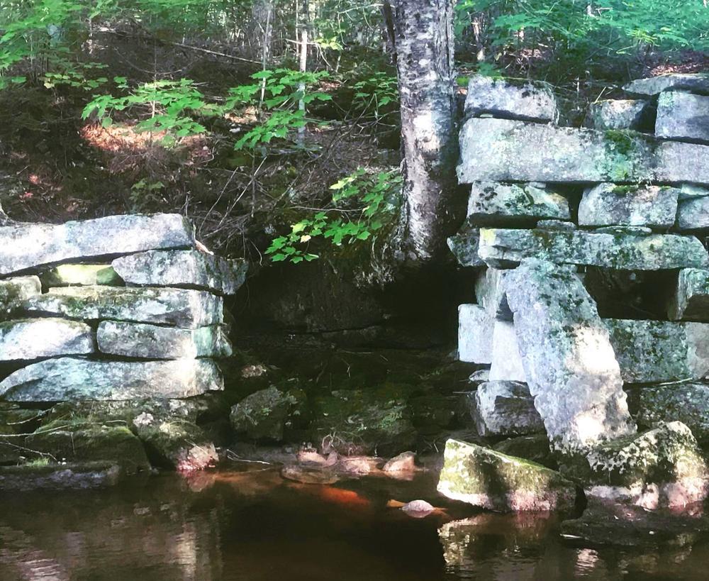
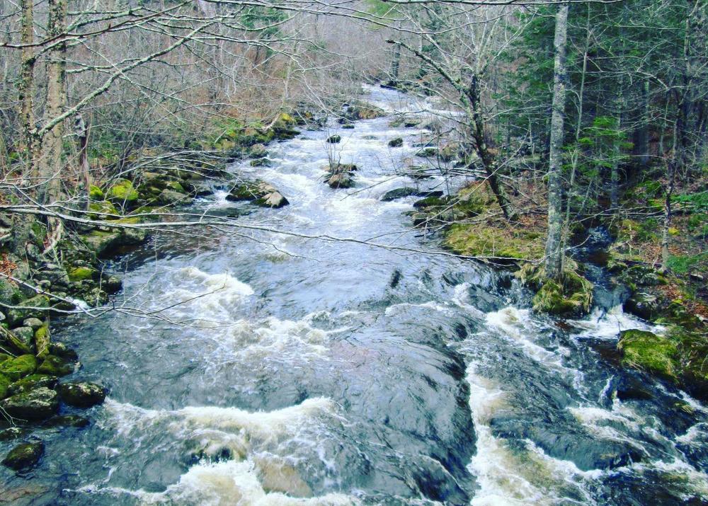
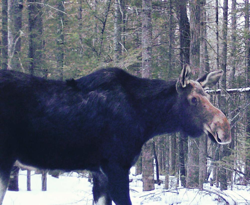
The trail begins on a discontinued road, and meanders through riparian habitat, dense fir forests, black cherry flood plains, grassy fields, and hemlock groves. Historic mills and homestead foundations are evidence of old settlements. Beaver activity along Main Stream may be seen in the gnawed tree trunks, dams, and lodges. Woodcock, partridge, deer, coyotes, and even bears also inhabit this remote preserve.

The main (blue) trail travels 0.6 miles to the loop (red) trail on the left. The loop circles 0.3 miles before meeting back up with the main trail. Another 0.1 miles along the main trail leads to a view point of the stream. A complete hike of the main trail out to the view point, around the loop, and back again, makes for a distance of 1.6 miles.

Other Information

  • Open for low-impact public recreation during daylight hours.
  • Bicycles, motorized vehicles, and horses are prohibited.
  • Dogs must be leashed at all times.
  • Camping and fires are not allowed.
  • Removal of vegetation is not allowed.
  • Drones are not allowed except by permitted use.
  • Groups larger than 12 must obtain Land Trust permission prior to use.
  • Hunting is permitted, but hunting of predators and trapping is forbidden.

Trail Manager

For additional information, visit the Coastal Mountain Land Trust website, or contact:

Coastal Mountains Land Trust

Coastal Mountains Land Trust
101 Mount Battie Street
Camden, ME 04843
Phone: (207) 236-7091
info@coastalmountains.org
View website

Nearby Events

VIEW EVENTS CALENDAR

Trail Tips

Travel and Camp on Durable Surfaces
Camp at least 200 feet from lakes and streams.
Legend
Hide All

Trailhead Information

From US-1 in Stockton Springs, turn onto Harris Road, a left if heading north on US-1, a right if heading south, by Just Barb's Restaurant. Go 2.1 miles on Harris Road and turn left of Green Valley Road. Go 0.5 miles to Old County Road and turn right, and then take the first left onto Sherer Road. Continue 0.2 miles and park at the end of the Sherer on the left.

Click on a parking icon to get custom directions
Please Log In or Create Account to add comments.
These awesome businesses support our goal of connecting people to outdoor adventures in Maine!
Hang Tight!
Nearby services are loading
No Results
No Services Found
SHARE THIS TRAIL

Add Trail Log

Please wait…
Join In on the Fun!
Log in or create an account below to unlock all the great features of Maine trail finder: keep track of trails you want to do, preserve memories of trails you’ve done, earn badges, and more!
Your log in attempt was not successful. Please try again.
    Lost your password? Reset your password
    Don't yet have an account?
    There was an issue with your submission. Please try again.
      * Indicates required field
      Already have an account? Login here
      Enter your username, and we will send you a new, randomly generated password to your email account.
      There was an issue with your submission. Please try again.

        Success! A new password has been emailed to you.

        Log in now

        Please wait…