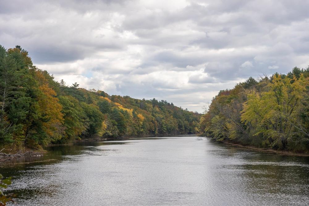
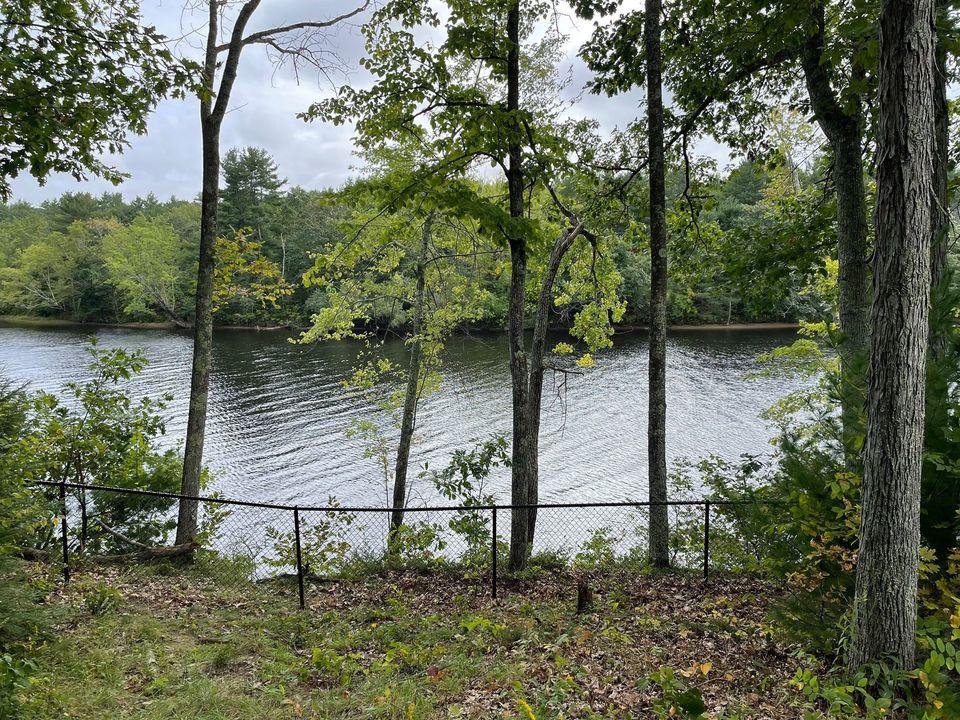
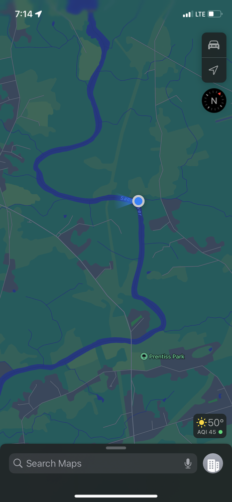
This short, 0.4-mile (one way) trail is on the grounds of The Ecology School and leads to a scenic overlook with a beautiful river view. A side entrance on Simpson Road connects with Stone Bridge Trail and Horton Woods, so you can now hike all the way from Buxton Road to the river. Along the trail are three short bridges and a 70-foot safety fence, to prevent accidents on the steep bluffs overlooking the Saco River and Stack pole Creek.
Marry Merrill Trail: The trail leaves the kiosk and heads to the northeast along a mowed path and the edge of the field past a small pond. The trail continues along the fence line and crosses the Ecology School driveway (please be careful of cars) before continuing through the field along the fence line and down the hill.
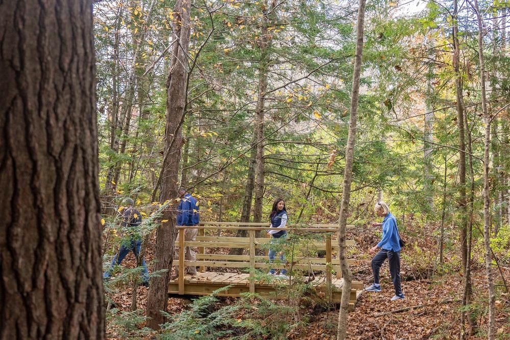
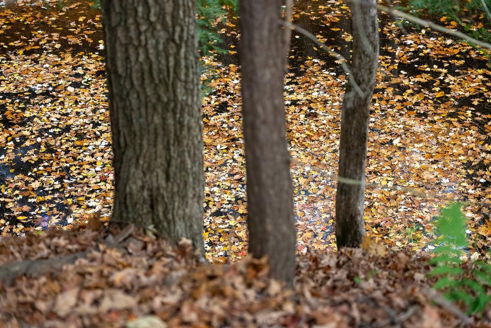
A short connector trail departs to the left at 0.2 miles and crosses the Simpson road to the Stone Bridge Trail. From this intersection, the Mary Merrill trail continues to the right along the edge of the field and at 0.23 miles, turns left and enters the woods. Once in the woods, the trail follows a series of blue blazes winding along the tops of several small ravines and crossing three short bridges.
Shortly after the third bridge, the trail takes a sharp left turn, crosses the site of an old stone wall, and follows the edge of the ravine above the stream. The trail along this section has great views of Stackpole Creek, and just before leaving the woods, it passes through a small area with Eastern Ironwood trees, also known as American Hornbeam.
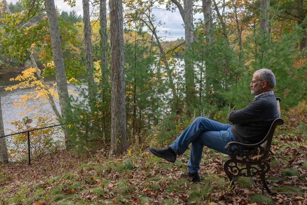
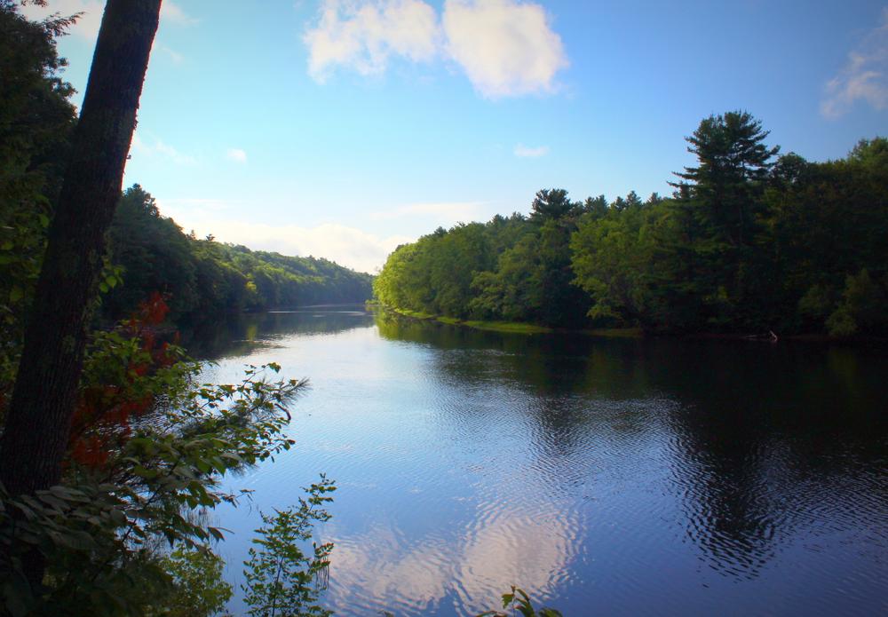
At 0.39 miles, the trail reenters the fields and proceeds to the left along the edge of the field. The trail ends at a bluff with a bench and views of the Saco River.
From the terminus, retrace your steps to return to the parking lot. Please stay on the marked trails at all times.
Saco Bay Trails completed Mary Merrill Trail in October 2021. Many thanks go to The Ecology School, Saco Parks & Recreation, and the Saco Conservation Commission, which is also working on some interpretive signage.
For additional information, visit the Saco Bay Trails website, or contact:

Take Only Pictures: Rocks, driftwood and plants provide habitat and nutrients.
From Main Street in Saco travel west on North Street (which is ME-112 and becomes Buxton Road). After 4.9 miles, turn left onto Simpson Road and follow for 1.7 miles to the Ecology School driveway at 184 Simpson Road. Turn left into the driveway. Part way down the driveway you will see the Ecology School's welcome sign, with a smaller sign below directing trail users to turn right and follow the side road to the dirt parking lot and the trailhead kiosk.
There are six parking spots adjacent to the kiosk designated for this trail. If the six spots are full, please visit another day or visit one of our other trails. There is no parking available along Simpson Road.
Success! A new password has been emailed to you.