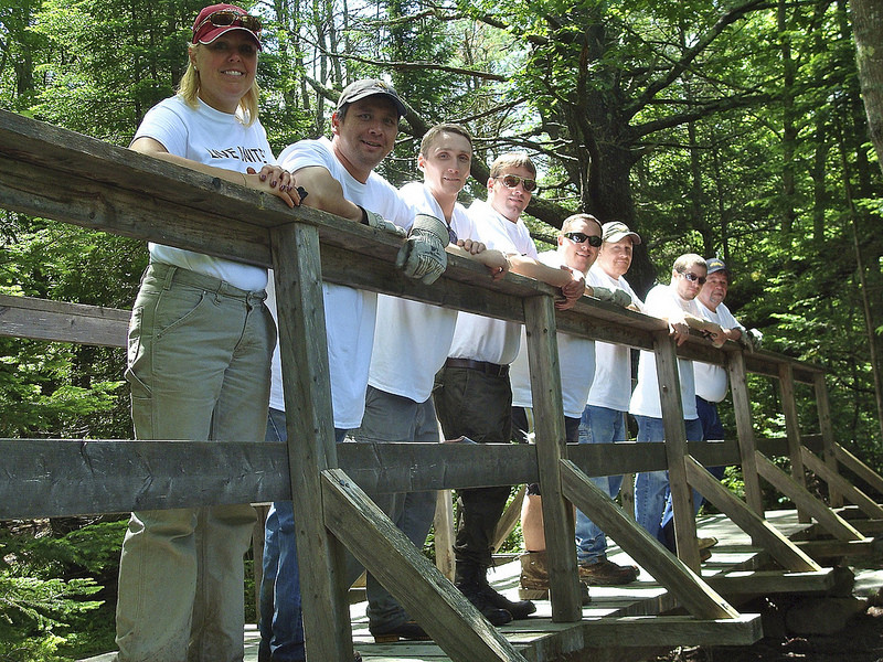
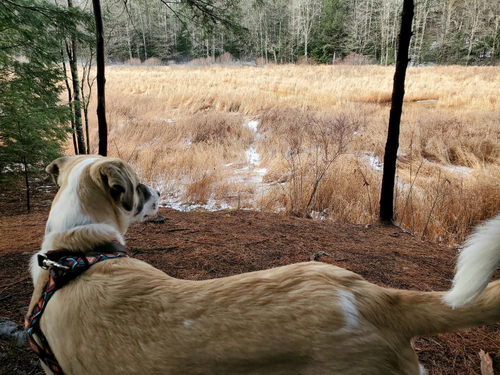
This 100-acre wildlife preserve was obtained by the City of Saco in 2007 under the Land for Saco's Future program. The sanctuary comprises a diverse confluence of ecological habitats including upland softwood and hardwood forest, marsh, stream, vernal pools, bog, and evidence of a pre-historic landslide. Five well-marked trails wind through the property's mixed woodland forest and provide views of Stackpole Creek.
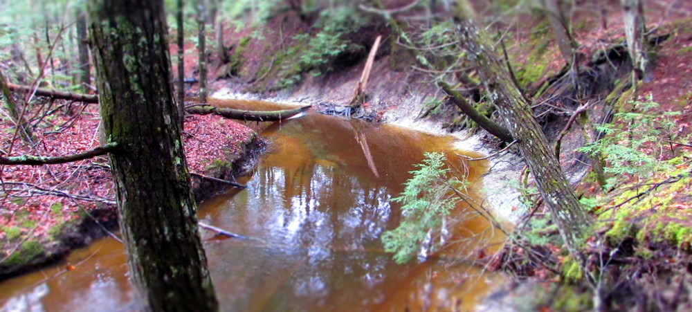
In 2021, a geologist at Maine Geological Survey discovered evidence of a large landslide from the 15th century. The geologist used LIDAR and carbon dating of soil core samples to determine that the landslide blocked Stackpole Creek 500-600 years ago and transformed the area's topography and environment. Eventually, Stackpole Creek cut a path through the landslide creating the sand and gravel streambed and banks that can be seen from the Blue Heron Trail and Beaver Path.
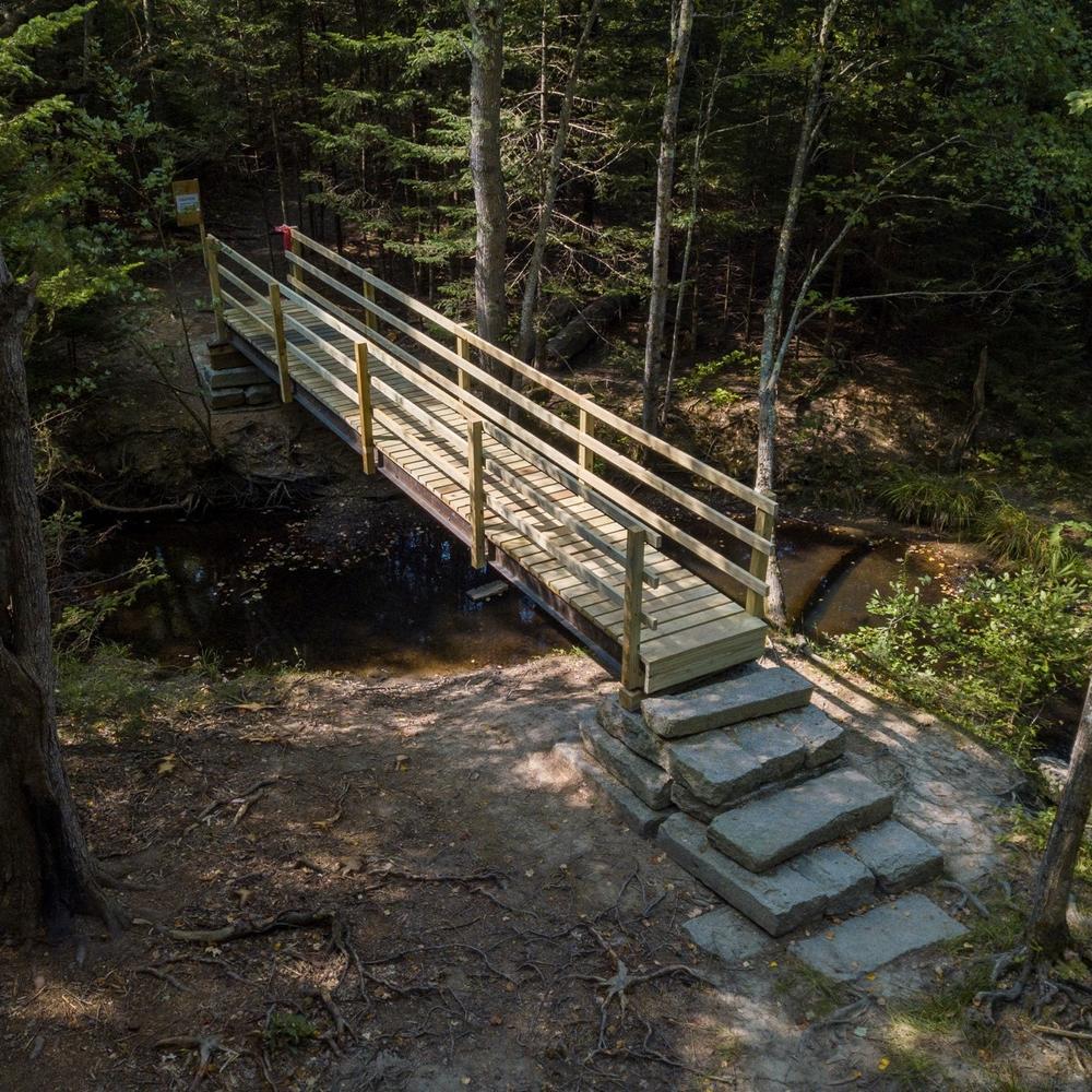
The Blue Heron Trail, marked by blue blazes, is an out and back trail that begins at the parking lot. It is just over 1 mile through mixed mature woodlands to its terminus at a bench that overlooks a nice riffle and pool in Stackpole Creek. There are several overlooks with benches along this trail with views of the creek. From the terminus, retrace your steps to the large bridge to return to the parking lot or access other trails.
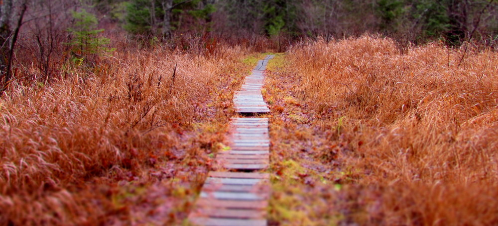
The Big Pine Trail, marked by green blazes, is a 0.5-mile long trail that begins just after crossing the large bridge. The trail immediately crosses over a series of bog bridges and proceeds through a stand of mature hemlock, balsam fir, and white pine trees. The trail travels along the outer edge (toe) of a prehistoric landslide and over a series of small hills that were side blocks created by the landslide. The trail meanders down through some bog bridging with a small bog just out of sight on the left. After the bog bridges, the Stone Bridge Trail leaves to the right, and the Big Pine Trail continues straight until the trail ends at the intersection with the Beaver Path.
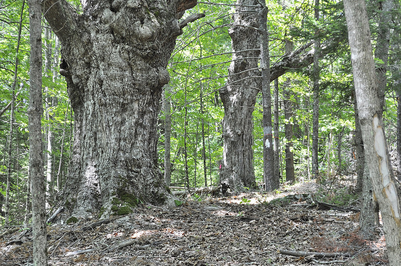
The Red Maple Trail, marked by red blazes, is named for likely the largest red maple you will ever see. The trail is a 0.5-mile loop that climbs a gentle slope through the woods to the edge of an old field bordered by a barbed-wire fence. A short walk leads back into the woods where the very large red maple is located. The trail then descends through the woods to the edge of Stackpole Creek, and eventually reconnects to itself before rejoining the Big Pine Trail.
The Beaver Path, marked by white blazes, is 0.34 miles and begins after crossing the large trail bridge. This trail is a very pleasant walk along Stackpole Creek and has a memorial bench overlooking the creek. The trail ends at an intersection with the Red Maple Trail.
The Woodcock Trails, marked by yellow blazes, is a small series of shortcuts that connect to sections of the Blue Heron Trail and make for a shorter walk from the parking lot to the large trail bridge over Stackpole Creek.
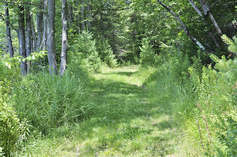
The Stone Bridge Trail, marked by yellow blazes, is a 0.75-mile long connector trail that leaves the Big Pine Trail and heads southwest towards Simpson Road. The trail starts on city property, but quickly crosses onto private land until its terminus at Simpson Road. The trail winds through a mixed woodland forest and crosses a couple of small creeks before exiting the woods onto a field. Please stay left on the edge of the field until you reach the Simpson Road.
The Stone Bridge Trail is privately owned. Please respect these rules so we can continue to offer public access:
Trail users can link the trail networks of Horton Woods, the Stone Bridge Trail, and the Mary Merrill trail to create a longer hike from the Horton Woods parking lot on Rt 112 to the Saco River. This hike will be at least 1.9 miles one-way and takes about an hour.
Please review the rules for both the Stone Bridge Trail and the Mary Merrill Trail before attempting this hike.
Visit Saco Bay Trails online for more information or contact:

From Main Street in Saco, travel west on North Street (which becomes ME-112/Buxton Road). Follow this for 5.9 miles. Turn left onto a dirt driveway at 464 Buxton Road. Turn right into a dirt parking lot and you will see the trailhead kiosk.
Park only in the parking lot and not along the private drive. If the lot is full, please visit another day or visit one of our other trails.
The Stone Bridge Trail is closed from March 15th to May 1st. Please respect this closure so we can continue to offer public access from Horton Woods to the Mary Merrill Trail outside of mud season.
Success! A new password has been emailed to you.