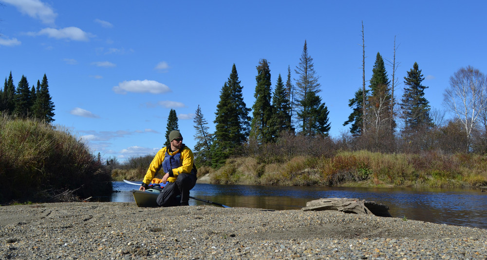
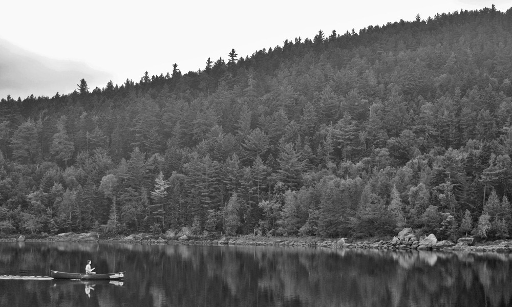
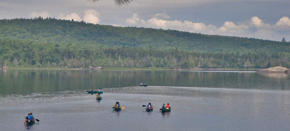
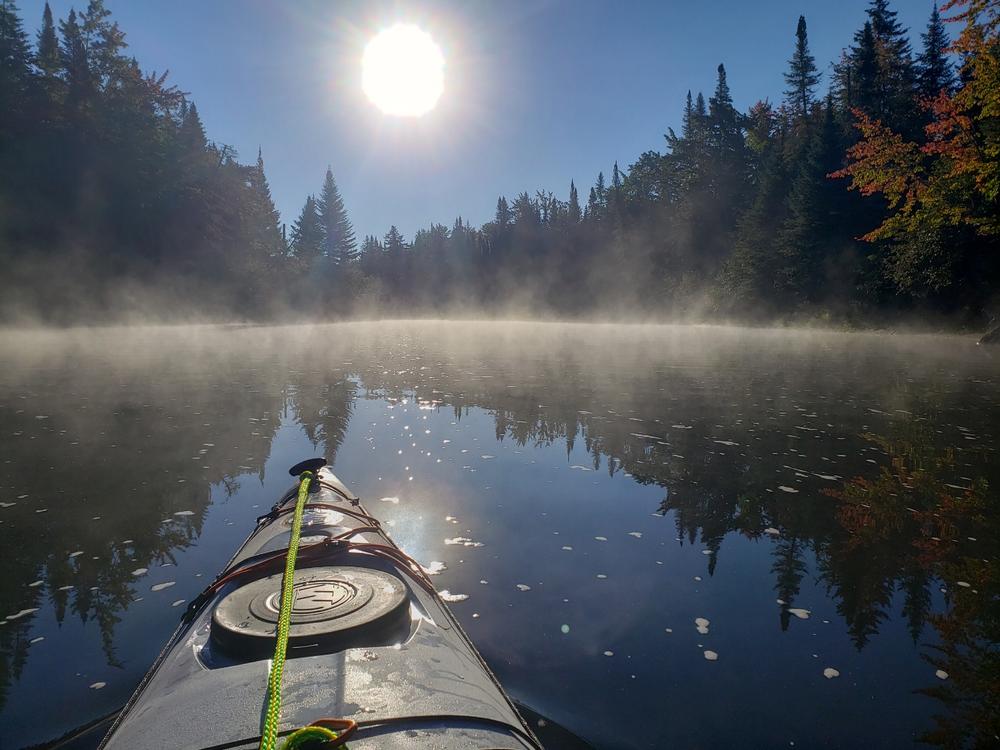
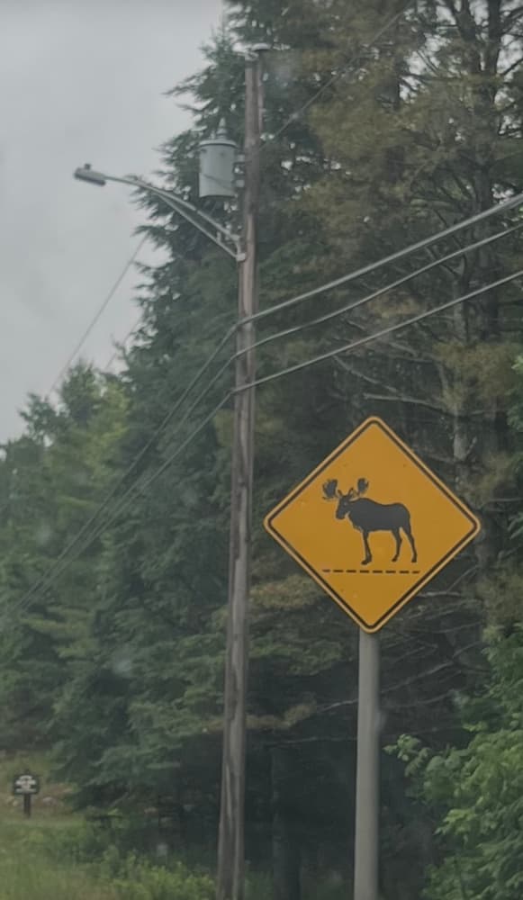
The Moose River Bow Trip is a great beginner overnight paddling trip, enjoyed by both canoers and kayakers. Paddlers can enjoy a few nights out and return to their launch point without a shuttle, thus making this a popular trip. Most paddlers take three days to complete the trip. This route is often crowded on summer weekends and holidays, so please plan accordingly. Tent sites along this trip are first-come, first-served and free to use without registration.
Public access to Attean Pond or the Moose River Bow Trip is available in the Town of Jackman or on Holeb Pond. Please note that Attean Landing is accessed via a privately owned and privately maintained road that is closed and gated periodically for repairs or flooding. Please be aware that the “turn around” immediately before the gate (approximately 1.5 miles from ME-201) and the surrounding fields are also private property.
General route: Paddle south from Holeb Landing to the outlet of Holeb Pond into Holeb Stream, which soon joins the Moose River. After about 8 more miles, there is a portage around Holeb Falls. Paddle to Spencer Rips and Attean Falls, both of which can be paddled at higher water levels. The Moose River flows into Attean Pond; paddle to the west end of Attean Pond, and follow the 1.25 mile portage trail to Holeb Pond. Paddle west across Holeb Pond to return to Holeb Landing.
Alternate route: Paddlers may also begin the trip from the Jackman public boat launch on Wood Pond, and paddle 2.5 miles south on Wood Pond and Moose River to Attean Pond. From there, paddle 4.5 miles west the length of Attean Pond to the Holeb portage trail and continue the route as described above (aside from the stop at Holeb Landing).
Holeb Landing to Holeb Stream and Moose River
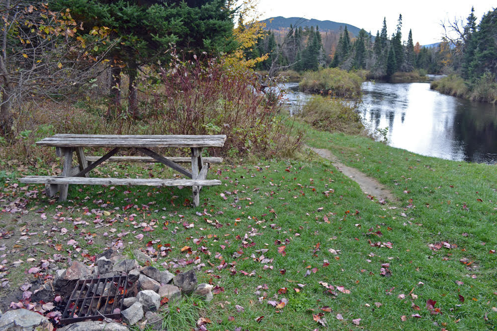
The paddle is 0.9 miles from Holeb Landing to its outlet into Holeb Stream (45.582691, -70.433400), which joins the Moose River in about 1 mile (45.573005, -70.442643). There is a campsite at Holeb Landing and several more a short paddle away across the cove from the landing, which can make for a nice first evening for afternoon launches.
Moose River to Holeb Falls
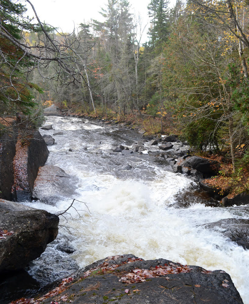
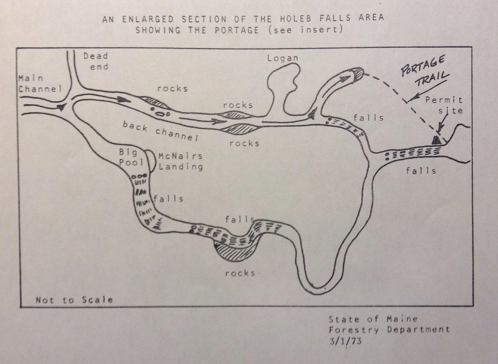
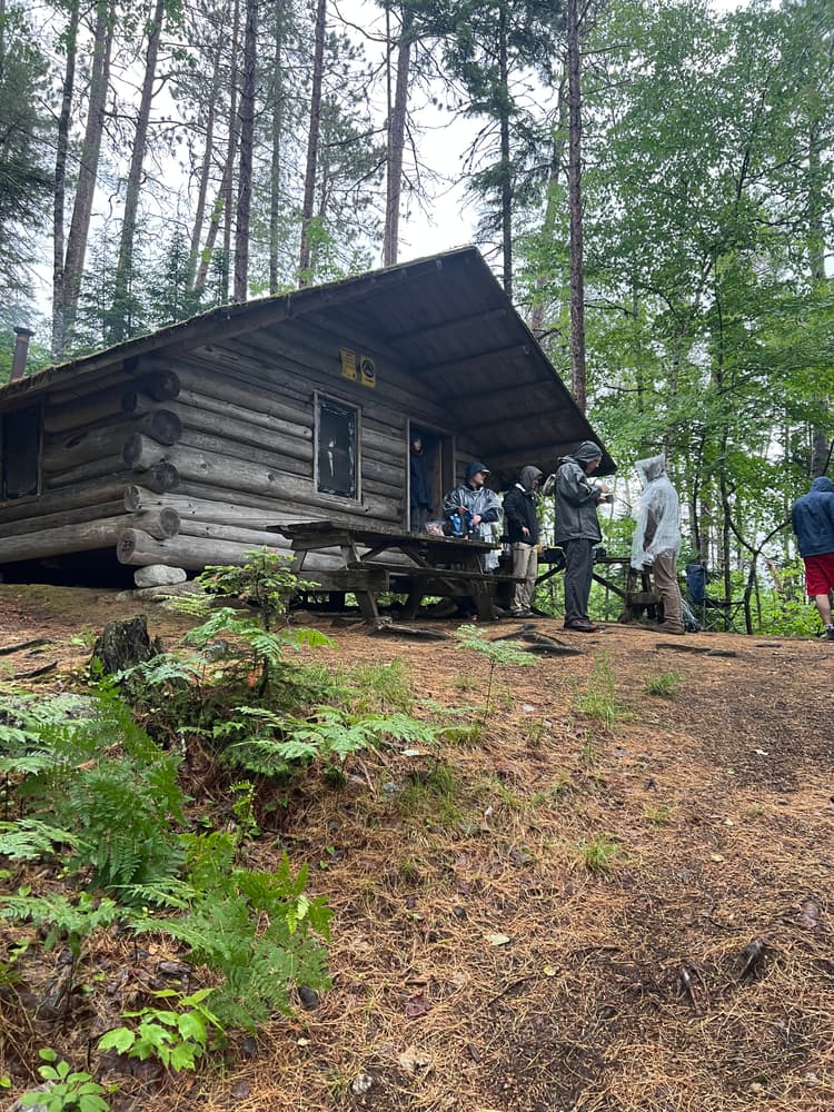
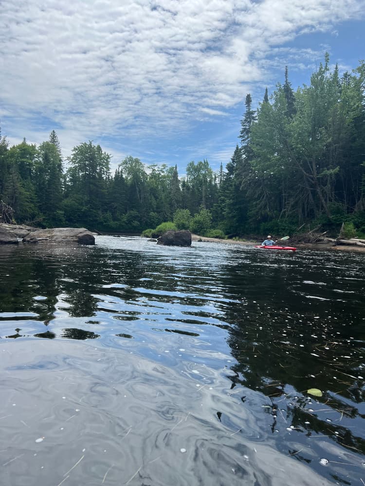
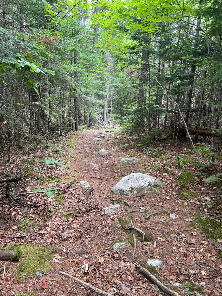
The Moose River is generally slow-moving but punctuated by a few minor rapids. The first is the Camel Rips ledge drop, 3.75 miles after entering the Moose River. This is followed in 500 yards by the Second Camel Rips, at a 90-degree left turn in the river. The river meanders for 5.5 miles through a marshy area before reaching Holeb Falls, a mandatory portage, which is signed. There will be large boulders in the river and a rocky ledge on the right -- take the smaller left branch of the river at this point (45.537154, -70.364636) and an immediate right. After 0.5 miles, turn left into a small stream; the large river beyond here is usually blocked by jumbled, weathered logs (dri-ki). Begin the 0.3-mile portage here, or continue to paddle a bit farther until logs block the waterway and join the portage trail on the left. The portage passes tenting options and a cabin (provided by Carrier Timberlands, LLC) and finishes at the wide Holeb Pool in the Moose River, just below the end of Holeb Falls.
Holeb Falls to Attean Lake
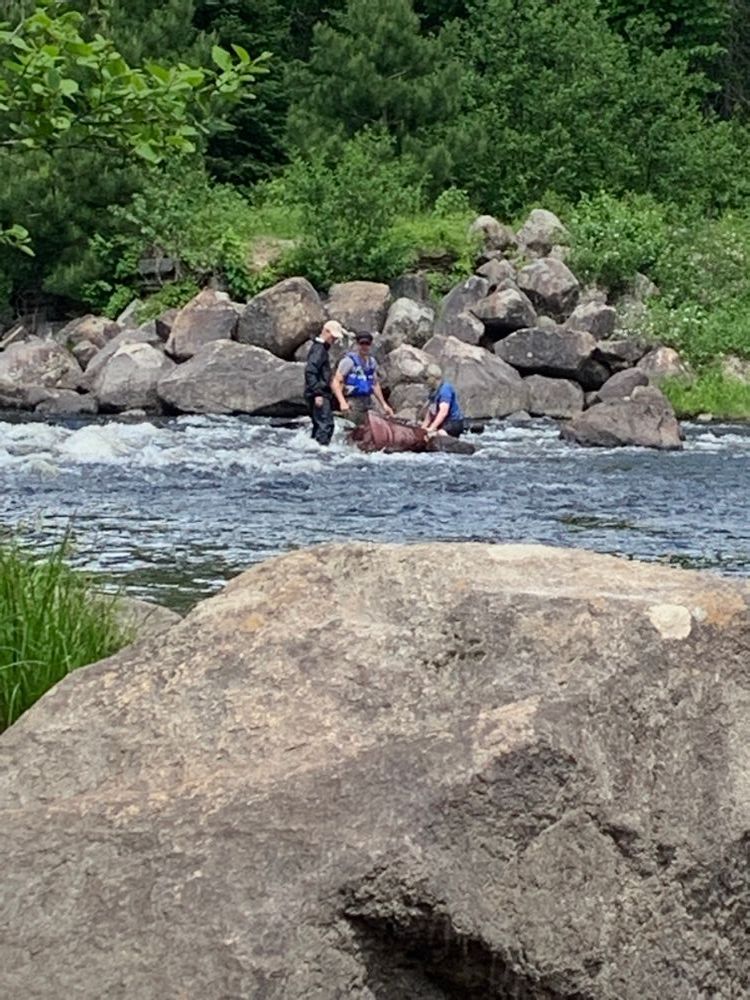
The Mosquito Rips drop is just around the corner from the portage put-in; if water is low, boats can be lined through the drop on ropes from river right -- be aware of slippery ledges here. After 3.5 miles of calm paddling is Spencer Rips, which can be paddled in high water, but must often be portaged due to sharp rocks across the entire river. After another 7 miles of flatwater paddling, is Attean Rips (longest rapids of the trip) followed by Attean Falls (a quick drop). Both of these pitches are full of sharp rocks, due to dynamiting for logging. They may be run in high water, but should be portaged in low water. The Attean Rips portage is on the left, which continues to bypass Attean Falls as well (not shown on the map). The shortest way around Attean Falls is the portage trail on the right. After the falls, it is 0.6 miles to Attean Pond.
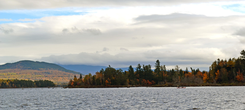
Attean and Holeb Ponds
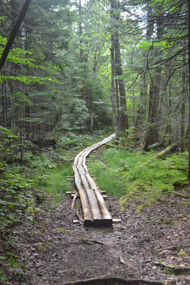
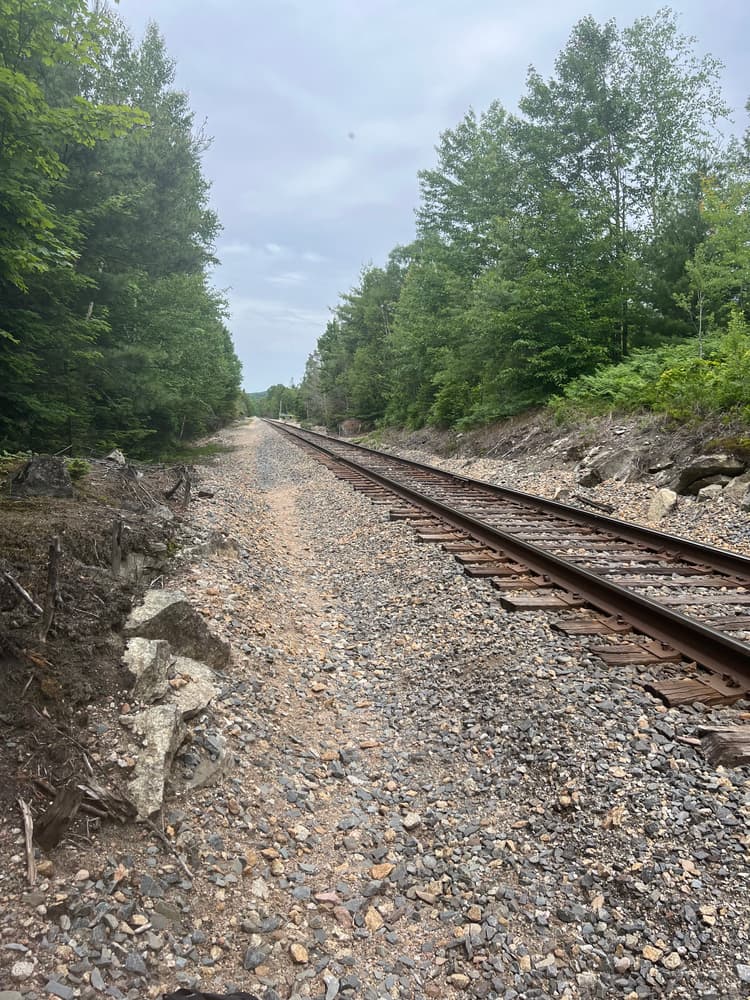
From the Moose River outlet, head west and paddle 4.75 miles down the long arm of Attean Pond (Attean Narrows). There are 5 campsites on the east and north shoreline and at the west end of the pond. Attean Mountain rises to the left and Sally Mountain to the right. At the west end of the pond is the 1.25-mile portage to Holeb Pond (45.575079, -70.347465). Do not portage on the railroad bed -- this is both illegal and dangerous since these are actively used tracks. Much of the portage is now surfaced in bog bridging. When the portage reaches a road; turn right and cross the railroad tracks, then take a left before the road curves to finish the portage at Holeb Pond (45.574909, -70.370151). The paddle across Holeb Pond is 3.25 miles to arrive back at Holeb Landing.
If the trip began at the Jackman boat access, paddle 3.5 miles north across Attean Pond, through islands, to the Moose River and 2.5 miles to the boat access on Wood Pond. There is sometimes a strong headwind on Attean Pond, and the islands can provide helpful calm sections.
Local outfitter Cry of the Loon (207-349-0389) can lead or assist with the trip, providing shuttles (to avoid the 1.25-mile portage), gear, guides, or information.
Fire permits are required for all campsites and can be obtained through the Maine Forest Service: 1-800-750-9777. Fires are permitted only at state-authorized sites with an official fire ring. Use only dead and downed wood.
Learn more about the fascinating geology of the Moose River Bow Trip, courtesy of the Maine Geologic Survey.
For more information, contact:
![]()
Be Courteous at Boat Launches and on the Water: Have patience at boat launches and make sure to share these public spaces. Give space to anglers, paddlers, and boaters, and remember, there’s no swimming at water-access sites. Swimming access points can be found here.
Public access to Attean Pond or the Moose River Bow Trip is available in the Town of Jackman or on Holeb Pond. Please note that Attean Landing is accessed via a privately owned and privately maintained road that is periodically closed and gated for repairs or flooding. As the private road runs through private property, the landowners are understandably concerned about misuse of/damage to their road and property. Please be aware that the “turn around” immediately before the gate (approximately 1.5 miles from ME-201) and the surrounding fields are also private property. The Bureau of Parks and Lands is collaborating with the landowners to develop a long
term solution for managing public access to Attean Pond.
Holeb Landing:
Paddlers can complete the entire Bow Trip from here or can shorten their trip to 25 miles by starting here and ending at Jackman Public Boat Launch (thus avoiding the long Attean-Holeb portage). After passing through Jackman from the south on US-201, cross the bridge over the Moose River. In 3.1 miles, turn left onto Holeb Road; follow this well-traveled gravel road for 11.6 miles and make a sharp left onto Holeb Pond Road. The landing is at the end of the road (45.594068, -70.427042).
Jackman Public Boat Launch:
Paddlers can complete the entire Bow Trip from here, or can shorten their trip to 25 miles by starting at Holeb landing and ending at Jackman Public Boat Launch. From ME-201 in downtown Jackman, follow Spruce Street then Mill Street southwest 0.3 miles to the public boat access (45.619750, -70.257600).
Spencer Rips:
Please note, as of summer 2017, the Spencer Rips Road is washed out and unpassable by vehicles.
[For paddlers looking for a shorter trip, with a few rapids and some lake paddling, Spencer Rips is an alternate access point (it is 11 miles from here to Attean Landing). Travel north on US-201, turning left onto Hardscabble Road across from Parlin Pond, 13.9 miles north of The Forks. Hardscrabble Road becomes Spencer Road, the most well-traveled of roads in that area. Turn right onto Spencer Rips Road, 9.7 miles from leaving US-201 (45.482276, -70.273636). Follow the road to its end; depending on water level, launch above or below Spencer Rips (45.520239, -70.295858).]
Success! A new password has been emailed to you.
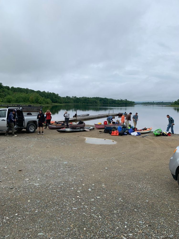
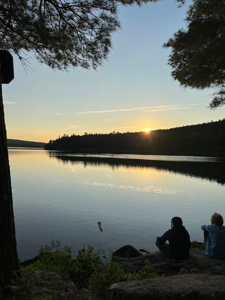
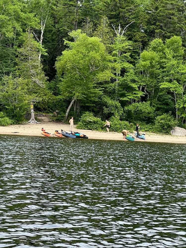
Super nice to be able to set up camp right at the landing and launch the next morning. We were surprised that we actually had to paddle upstream on Holeb Stream (which connects Holeb Pond to the Moose River) with a pretty fast current. Almost convinced ourselves we were going the wrong way! After that it’s a fun ride down the Moose River with the occasional rapid to keep things interesting. Water levels were high so we were able to paddle through all the rapids except Attean Falls (and of course Holeb Falls). Headwinds were pretty gnarly through Attean Pond, especially after getting used to the luxury of floating down the Moose River. And then the portage was pretty tough! Lots of bog bridges, some fallen trees, rocks and roots to navigate.
We did our trip over Juneteenth weekend and didn’t see anyone else until our last campsite. 2 of us and our dog in a canoe and our friend in a kayak. Camped at Holeb landing, Spencer Rips, and the end of the portage trail. All great sites! Two full days of paddling and then an hour and a half the last morning. Highly recommend this trip, perfect amount of challenge with plenty of rewards and a lot of variety!