Mount Will Trail

A 3-mile loop hiking and nature trail along US Route 2 in Bethel that traverses several open ledges with many views of the Androscoggin River Valley.
Trail Activity
Snowshoeing Hiking
Length
3.00 miles, Loop
Difficulty
Moderate
Towns
Bethel, Newry
Surface
Dirt/Forest Floor, Rock/Ledge
Pets
Permitted
Fees
No

Description

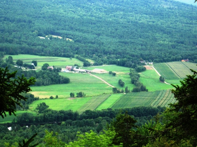
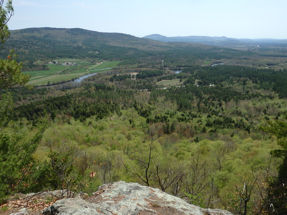
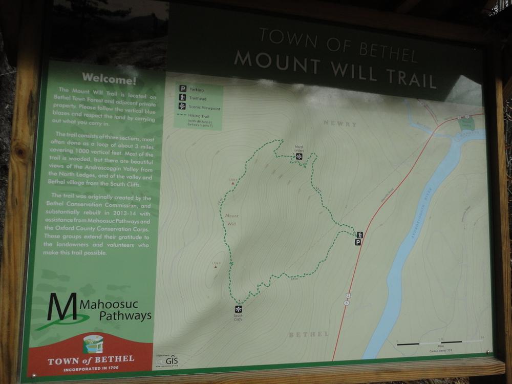
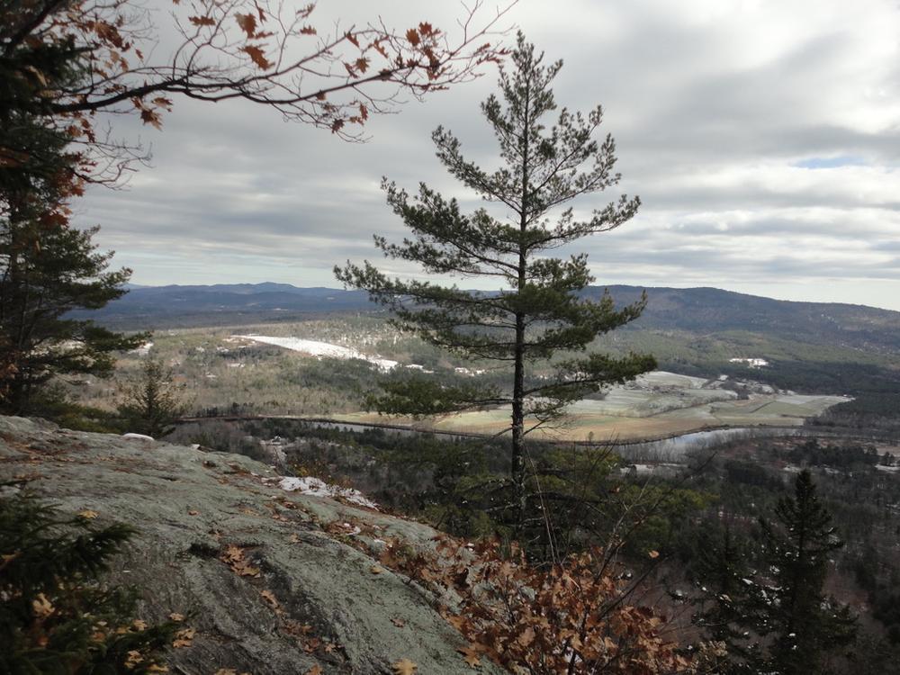
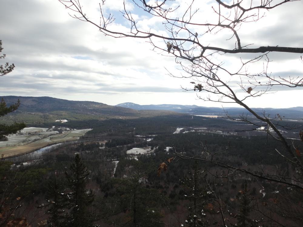
This foot trail was developed by the Bethel Conservation Commission to increase public awareness of the natural resources and beauty of the Androscoggin River Valley. The section of trail from the trailhead to the North Ledges is in the 115-acre Bethel Town Forest. The Town of Bethel acquired the property in the 1800s and it served as the Town Farm for a number of years. No buildings remain on the property but a field in the southeasterly portion of the land is still maintained for hay production by a local farmer. Timber is harvested periodically by the town. Deer winter on much on the southerly and easterly portions of the property and the harvesting plan protects the large hemlocks that provide cover for the deer.

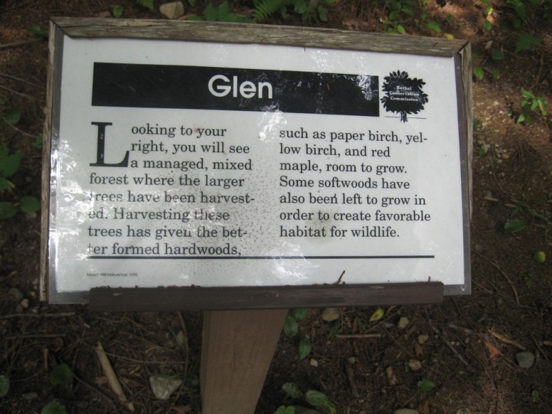
A number of descriptive signs on the North Ledges Section provide a guide to understanding the natural and logging history of the area.

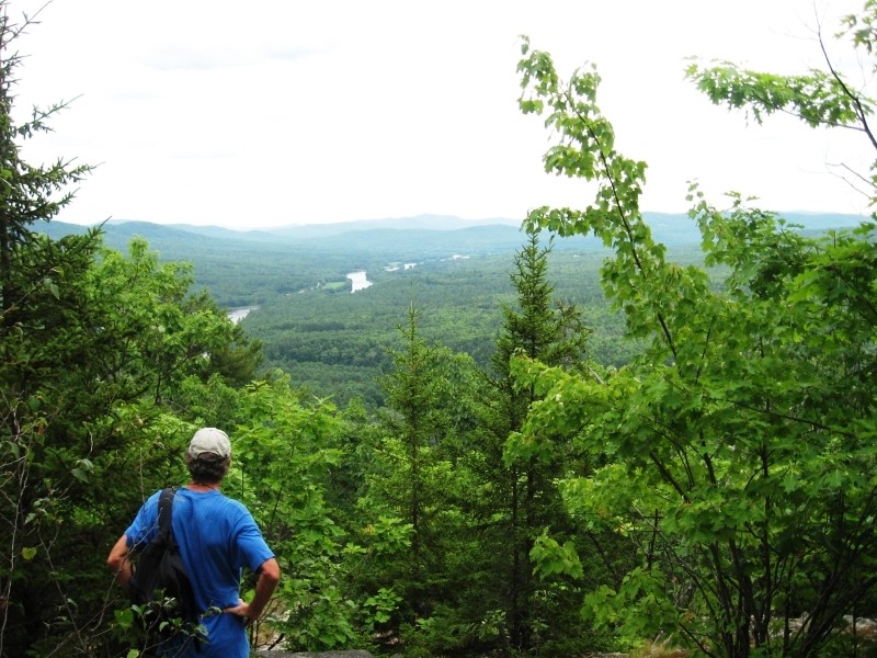
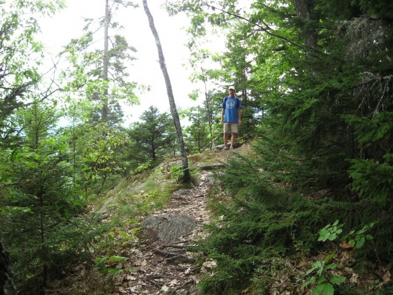
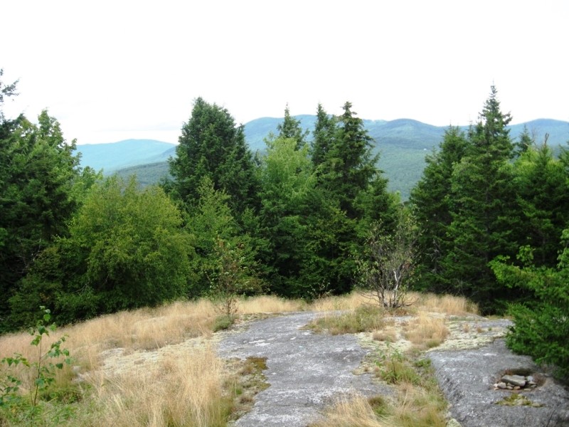
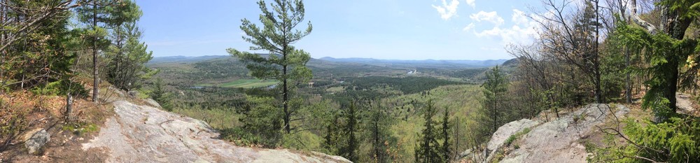
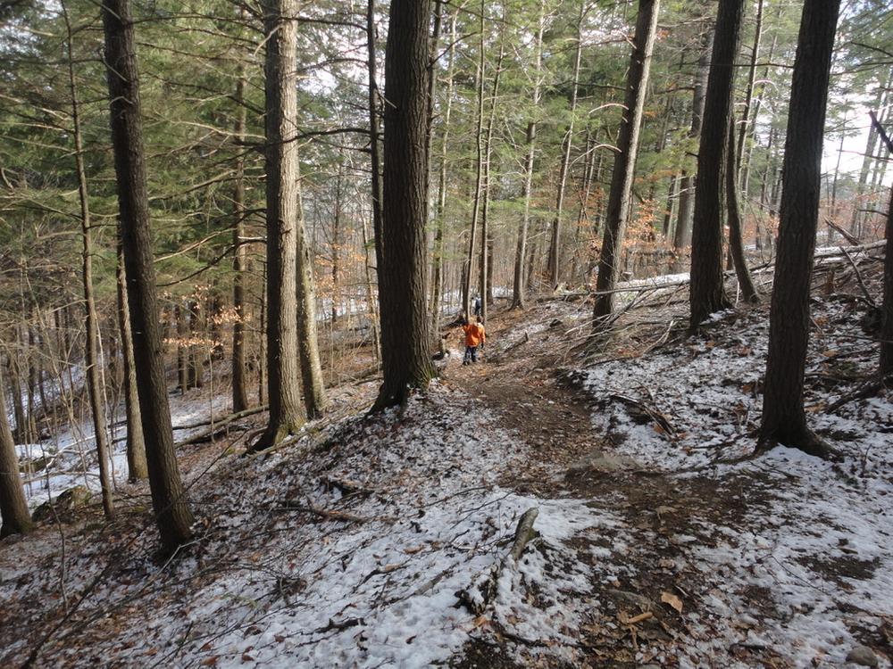
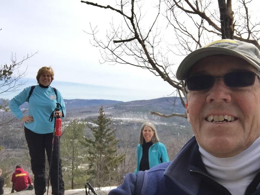
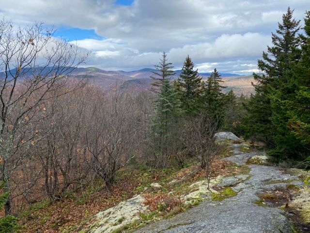
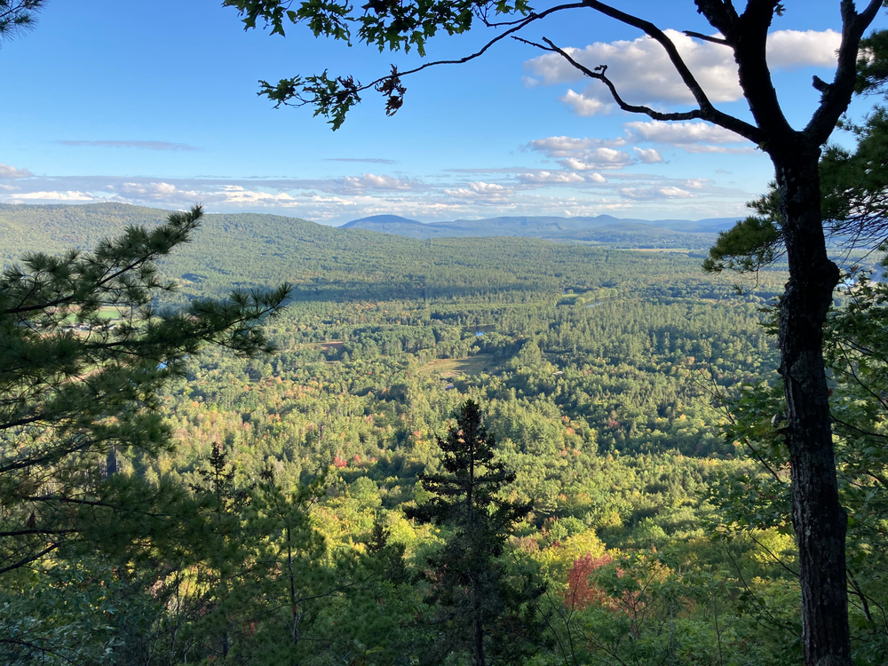
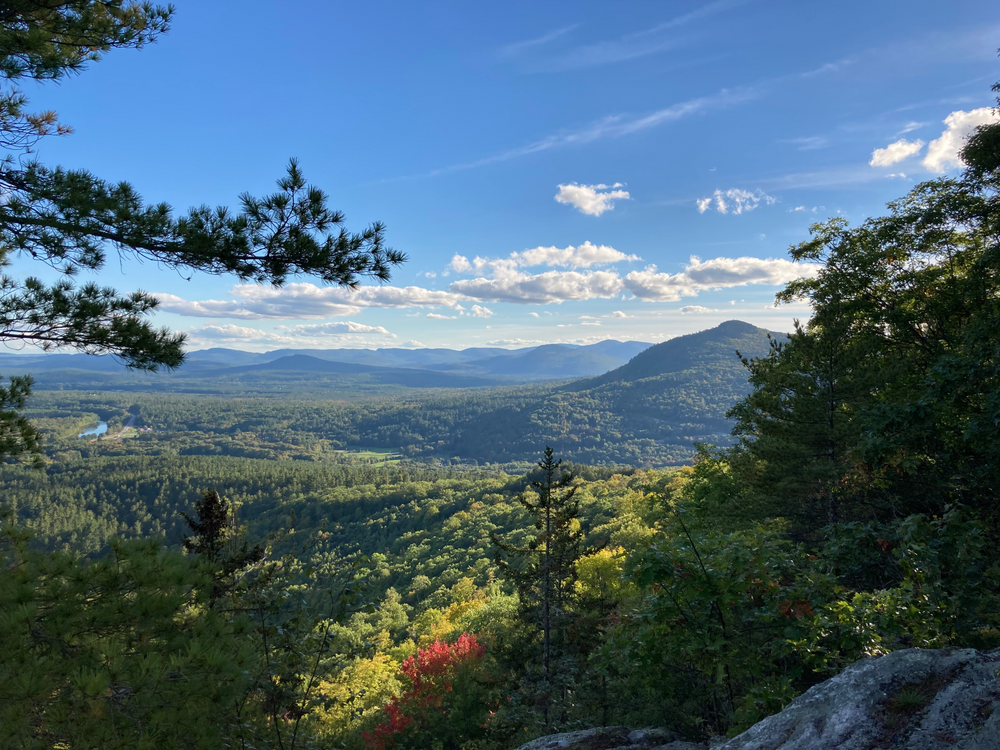
The overall loop is 3 miles long, moderately strenuous with short steep sections, and typically requires about 2 hours walking time. A shorter hike to the North Ledges only, or to the South Cliffs only, requires about 1.5 hours walking time.

Other Information

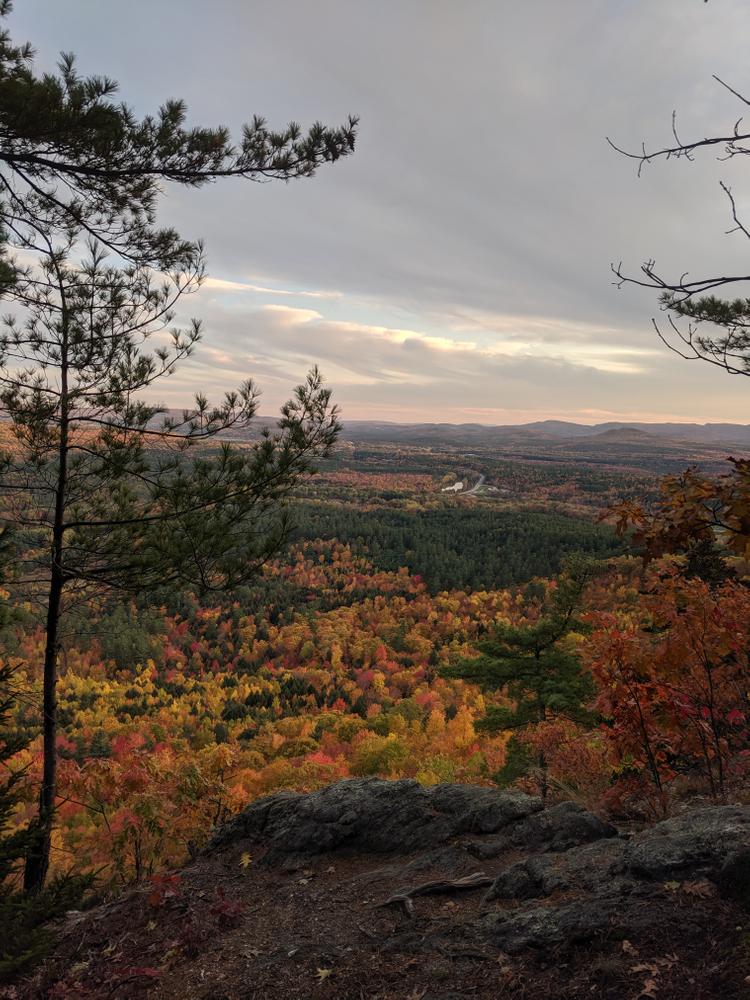
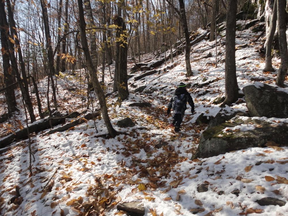
During the end of July and early August, there are plentiful blueberries along the section from the North Ledges to the South Cliffs. The trail is a popular snowshoe trail in winter, although some sections can be dangerously icy, particularly before there is a lot of snow on the ground. Much of the trail is on private land, where continued access depends on respectful use. Please stay on the trail and carry out everything you carry in. General information about the Bethel area and more information about other local trails and area attractions can be found at the Bethel Area Chamber of Commerce website.

For a safe and enjoyable hike, please be prepared. For more information on how to get ready for your hike and what to bring, visit Hike Safe. Inland Woods + Trails is also happy to answer your questions about this trail network. 

Trail Manager

Visit the Town of Bethel website for more information or contact:

Inland Woods + Trails

Inland Woods + Trails
PO Box 572
Bethel, ME 04217
Phone: 207.200.8240
info@woodsandtrails.org
View website

Town of Bethel

Town of Bethel
PO Box 1660
9 Main Street
Bethel, ME 04217-1660
Phone: (207) 824-2669
recreation@bethelmaine.org
View website

Nearby Events

VIEW EVENTS CALENDAR

Trail Tips

Travel and Camp on Durable Surfaces
Make a small campsite, preferably where there is no vegetation.
Legend
Hide All

Trailhead Information

Take US Route 2 east from Bethel Village. About 1.9 miles past the state Riverside Rest Area on the right and Sunday River Brewing Company on the left, there is a parking area on the left directly opposite the Bethel Recycling and Transfer Station.

The GPS address for the Mount Will Trail is 1070 US Rte 2 in Bethel.

Click on a parking icon to get custom directions
Please Log In or Create Account to add comments.
nlgress.shp
August 19, 2023
Really well marked yet my dogs and I managed to lose the trail coming up the right side to the north ledges
South side pretty muddy but all manageable. No bugs. Checked out the Gray Memorial (added about .30 miles round trip). Overall fun hike!
jeffcann
June 12, 2021
A short but challenging hike minutes from Bethel. I see a comment about poor trail markings. Someone must have read that and corrected the situation. The trail was fantastically marked today. We really loved it. A beautiful trail. We went clockwise which seemed like the right way to go.
fortunateson33
May 17, 2020
North Ledges and back was really great. Even after a few days of rain the trail was not muddy. We found the trail to be well marked.
ledaigle
April 16, 2020
Felt the trail was poorly marked/confusing in places.
inland woods + trails
December 04, 2015
In the winter of 2015-16 there will be logging activity in the vicinity of the portion of the loop trail that runs towards the South Cliffs. Please be careful around logging equipment that may be present nearby. There is pink flagging denoting the trail (along with blue blazes) that are to aid the logger and hiker if the trail is obscured by logging activities. Good luck, use good judgment and have fun. Please call 207.200.8240 or send an email to info@mahoosucpathways.org with any questions.
inland woods + trails
September 15, 2014
Please take care to follow the trail. There have been several reroutes recently along the north and south portions of the loop. There is a mix of dark blue and light blue blazing throughout. However, along the reroutes above and below the south cliffs one will find pink and orange flagging to follow mixed in with the light blue blazes. Be careful to stay on the existing trail below the south cliffs (blazed light blue) until trail construction on a new route is completed.
These awesome businesses support our goal of connecting people to outdoor adventures in Maine!
Hang Tight!
Nearby services are loading
No Results
No Services Found
SHARE THIS TRAIL

Add Trail Log

Please wait…
Join In on the Fun!
Log in or create an account below to unlock all the great features of Maine trail finder: keep track of trails you want to do, preserve memories of trails you’ve done, earn badges, and more!
Your log in attempt was not successful. Please try again.
    Lost your password? Reset your password
    Don't yet have an account?
    There was an issue with your submission. Please try again.
      * Indicates required field
      Already have an account? Login here
      Enter your username, and we will send you a new, randomly generated password to your email account.
      There was an issue with your submission. Please try again.

        Success! A new password has been emailed to you.

        Log in now

        Please wait…