Noyes Mountain Preserve

The trail up this mountain provides extraordinary views of the lakes and hills of western Maine.
Trail Activity
Snowshoeing Mountain-biking Cross-country-skiing Hiking
Length
2.30 miles, Network
Difficulty
Moderate
Town
Greenwood
Surface
Dirt/Forest Floor, Rock/Ledge
Pets
Permitted
Fees
No

Description

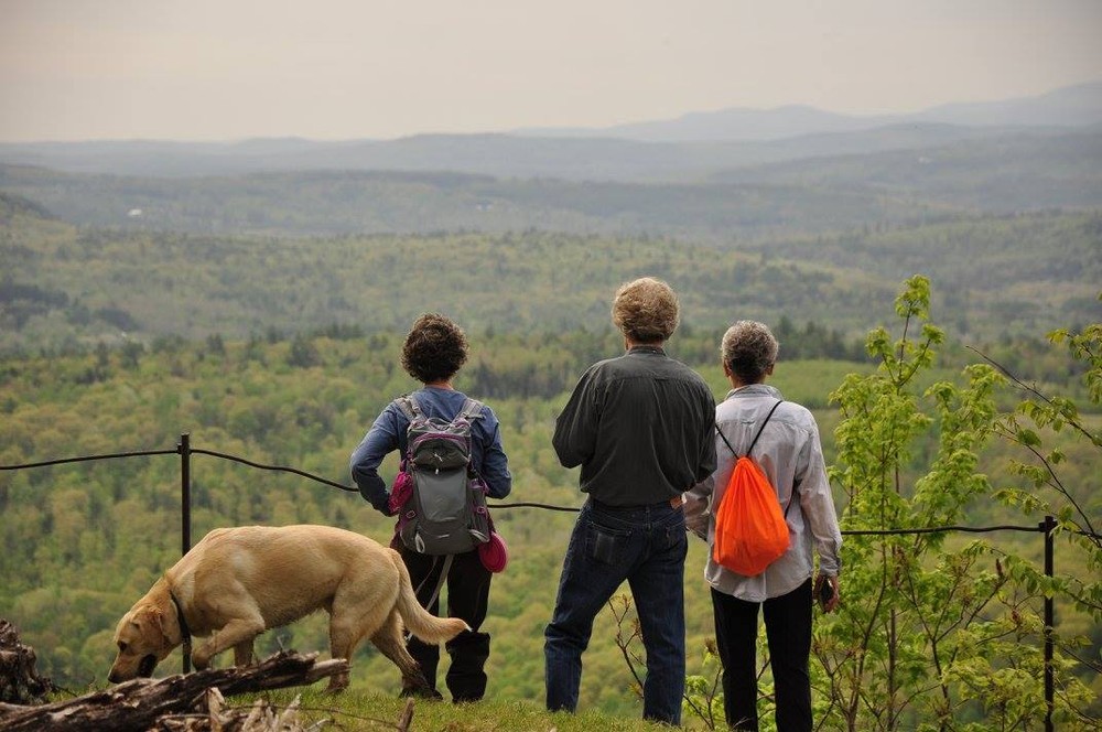
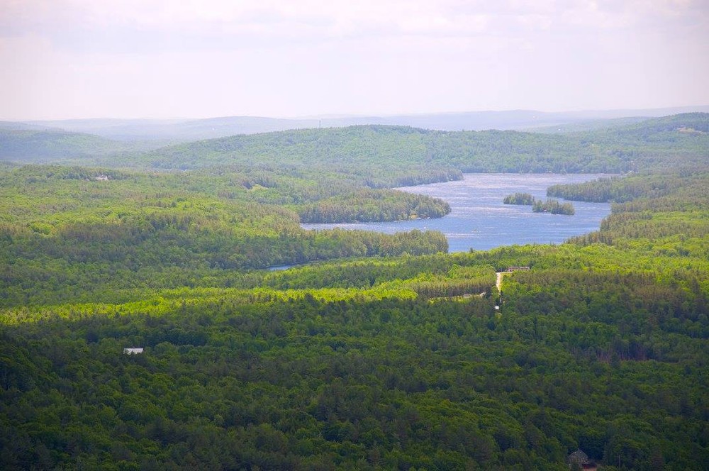
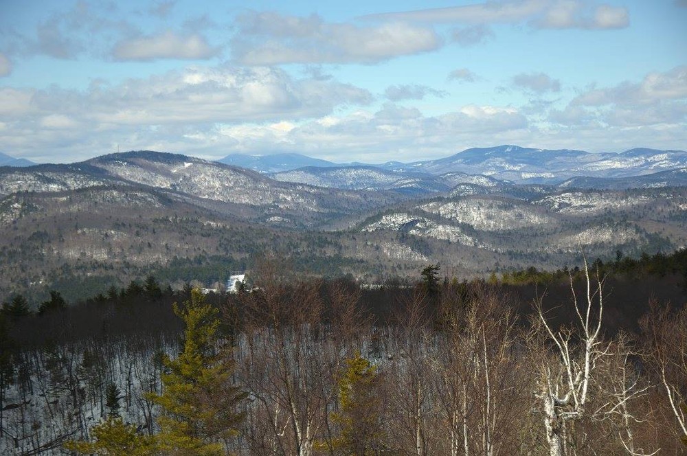
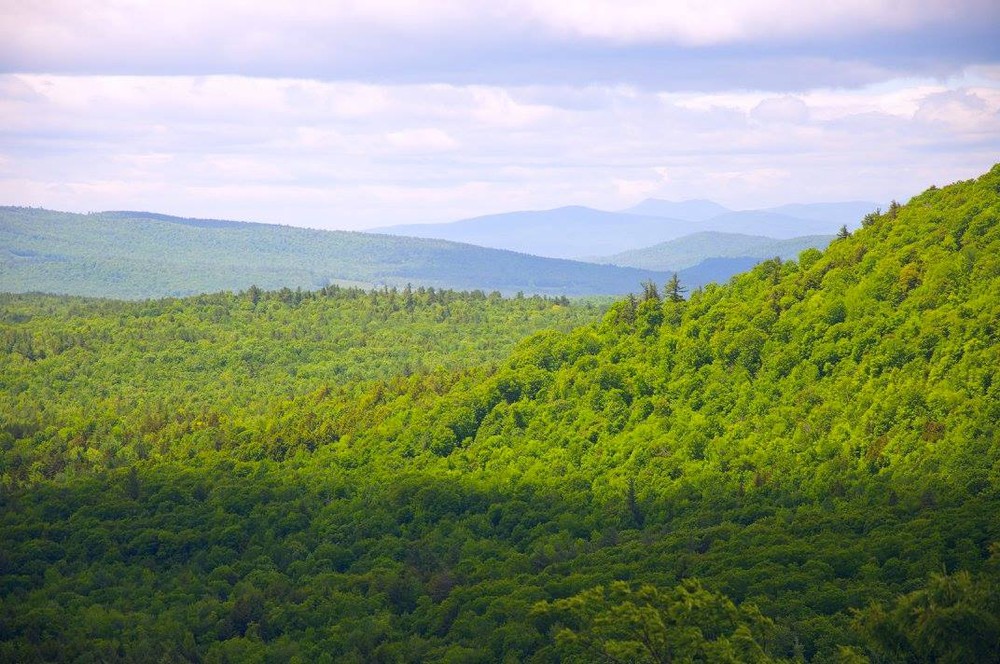
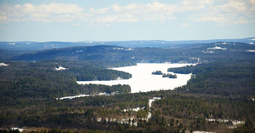
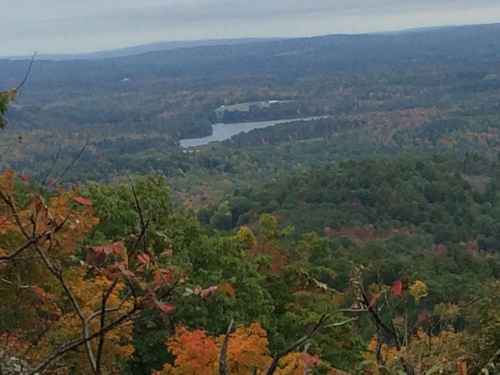
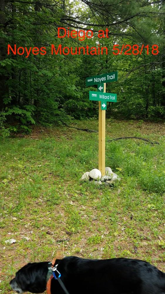
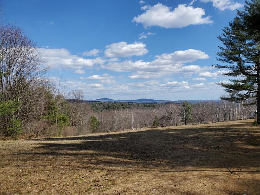
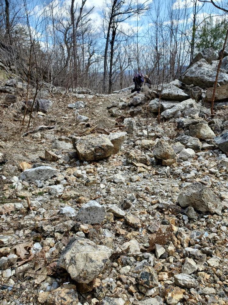
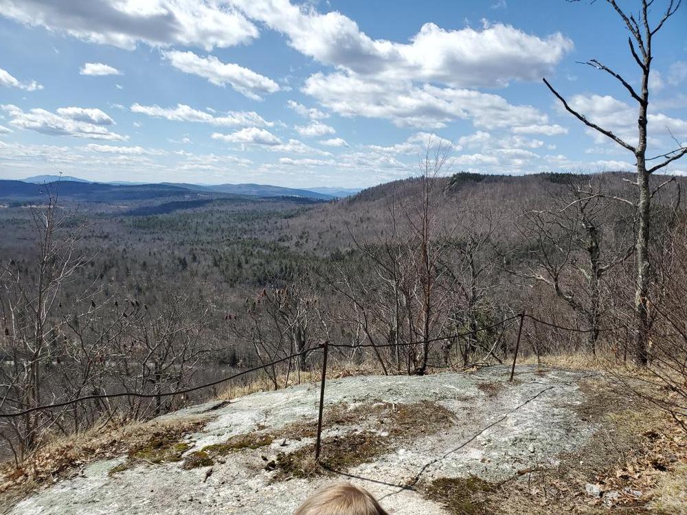
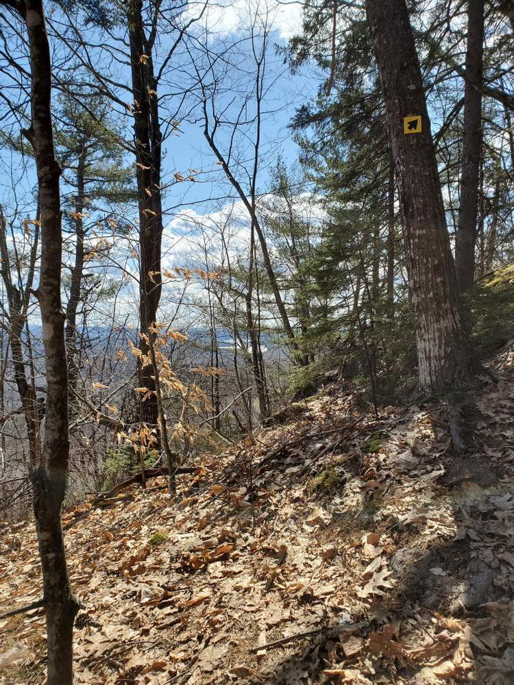
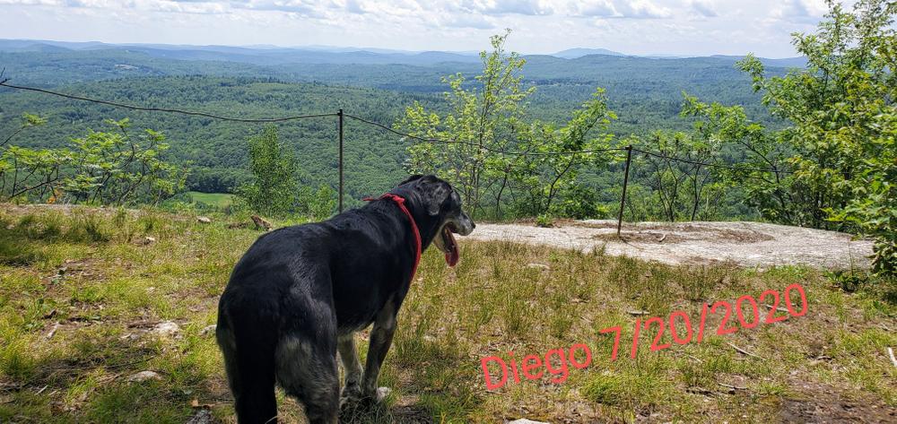
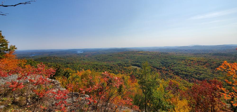
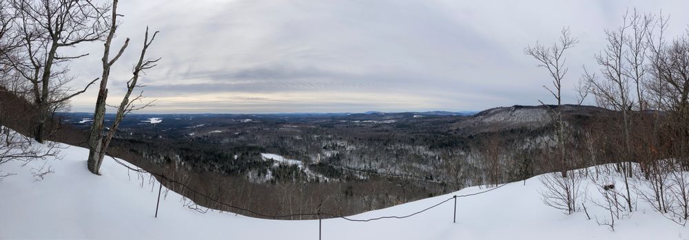
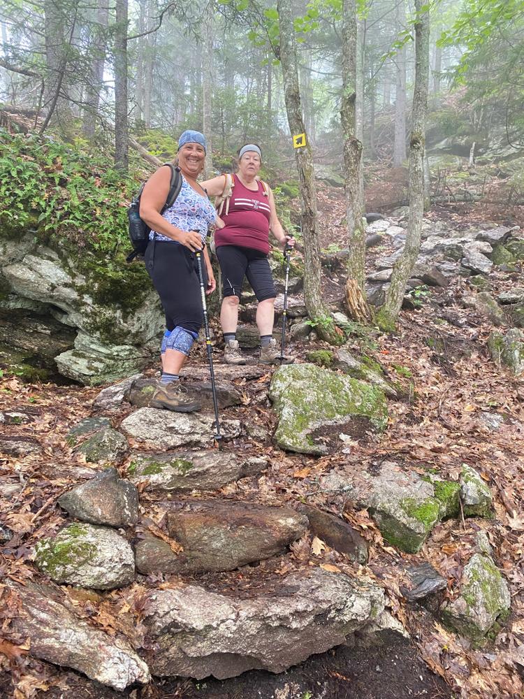
Noyes Mountain is one of the nearby peaks visible in the iconic view from Norway Lake's southern end. The mountain itself can be climbed to see this view in reverse. The Noyes Trail climbs 600 feet up and over the summit to a viewpoint immediately overlooking Mud Pond and offering excellent views north, west, and south. A little further beyond this is the Harvard Mine, a historic pegmatite mine popular with geologists and rock collectors alike. The distance from the trailhead to the viewpoint is 1.2 miles.

Additionally, the Old County Road Trail branches to the right off of the Noyes trail and can be accessed from Richardson Hollow Road just east of the trailhead. Bikers and horseback riders should stick to this trail.

Other Information

  • The park closes at dusk; camping and campfires are both prohibited.
  • While rock hounding is allowed in the preserve as long as there is no blasting, please leave cultural artifacts in place.
  • Carry out what you have carried in.
  • Keep your distance from wildlife and in general try to preserve the peace and quiet of the area.
  • Stay on trails and avoid short-cuts.
  • Dogs must be kept under voice command, or remain leashed.
  • Hunting is permitted within the preserve; all users should wear blaze orange in October and November for safety.

Trail Manager

Noyes Mountain is managed by Western Foothills Land Trust.

Western Foothills Land Trust

Western Foothills Land Trust
PO Box 107
445 Main Street
Norway, ME 04268
Phone: (207) 739-2124
info@wfltmaine.org
View website

Nearby Events

VIEW EVENTS CALENDAR

Trail Tips

Minimize Campfire Impacts
Follow the Maine Forest Service fire regulations and check the current fire danger level before you go camping.
Legend
Hide All

Trailhead Information

From the south: turn off of ME-26 in Norway onto ME-118 north. Turn right onto the Greenwood Road, after 3.3 miles on ME-118. Turn right onto Richardson Hollow Road after another 5.2 miles. The parking lot will be on the left near a field after 0.8 miles.

From the north: turn off of ME-26 in Locke Mills (5 miles from Bethel) onto Howe Hill Road. This road immediately crosses a bridge and then a set of railroad tracks; take the left just past the tracks onto the Greenwood Road. After 7 miles bear left to stay on the Greenwood Road. After another 2.7 miles, turn left onto Richardson Hollow Road. The parking lot will be on the left near a field after 0.8 miles.

Address: 182 Richardson Hollow Road, Greenwood

Click on a parking icon to get custom directions
Please Log In or Create Account to add comments.
rick_m
July 05, 2021
Great reroute of the Perham trail, continued appreciation for WFLT and the volunteers!!
j6mefamily
February 21, 2021
While in pursuit of training for my Katahdin trip this summer, I needed to go for another hike. First of all this was my first time up this trail and I did not know what to expect. I looked up this trail on the MaineTrailfinder.com website. This gave me a great trail map to use. The parking was not plowed so I had to park on the side of the road-it is a good thing that this is not a busy road. (N 044° 17.132' W 070° 37.731')

Please stop by the kiosk and take a photo of the trail map.

Leave the kiosk and walk up the side of the field. Go past the 1st trail sign and up to the 2nd sign. Then go up the mountain until you reach the fork in the trail. (N 044° 17.477' W 070° 38.153')

I took the Perham trail because it looked shorter-that was a mistake. Not only was it steep but there were some 70° drop off. When I stopped at a lookout point, I went to get a drink and dropped my water bottle. It hit the hard crust and slid down the steep side of the mountain. It was a good thing I had another bottle. I guess I need to tether my water bottles. Once on the top the trail seemed to go down again but that is the way to the quarry-just follow the arrows.
I passed the last trail intersection (N 044° 17.455' W 070° 38.442') and headed toward the quarry overlook.

I finally arrived at the overlook and it was amazing.

On the return trip I took the Harvard trail--best choice--it is so much gradual and it brings you through the evergreen forest and over the peak (no view at peak). The trip down was smooth. I will have to bring my kids up this summer to explore the quarry.
traildogs2
December 03, 2020
Nice trail. Took our time; about a 2 hour hike. Went up the Perham Trail and came down the Harvard Trail - portions were steep but not out of the ordinary. Great views. Very well marked. I would recommend using hiking poles.
andimr
April 08, 2020
This was a very challenging hike with my 13 month old and 5 year old in tow. We went up the Perham trail which still had ice and snow in parts. It was very steep and narrow. Going up was easier than coming back down. The Harvard Mine was awesome. My 5 year old would have stayed all day if I let him. We spent an hour looking at all the rocks. The viewpoint at the top of the Mine was breathtaking. I would do this hike again in a few years when my children are bigger. Worth the hike if you like a challenge.
heidi & nikes
October 19, 2019
hi - tried to hike this today, found the parking lot easy enough but after following the obvious trail ( no markers anywhere) we went about 1.4 miles and ended up at the main road. there must be a turn we missed , would love some help so we can try it again. thanks
terifleck721
October 15, 2018
I have hiked this trail twice. I’ve gone up Perham Trail twice, which does seem harder. Harvard Trail is longer, but seems better to me. Each time I loved it, and plan going up again if it doesn’t snow.
karenober
September 03, 2018
Great hike, thanks for putting it on my map!
ross.momaney@maine.edu
September 21, 2017
Hiked 9-16-17. The trail is well marked up the mountain and parking area accessible. This is a short intense hike with a rewarding view. Poking around the mine/quarry site was a lot of fun too!
These awesome businesses support our goal of connecting people to outdoor adventures in Maine!
Hang Tight!
Nearby services are loading
No Results
No Services Found
SHARE THIS TRAIL

Add Trail Log

Please wait…
Join In on the Fun!
Log in or create an account below to unlock all the great features of Maine trail finder: keep track of trails you want to do, preserve memories of trails you’ve done, earn badges, and more!
Your log in attempt was not successful. Please try again.
    Lost your password? Reset your password
    Don't yet have an account?
    There was an issue with your submission. Please try again.
      * Indicates required field
      Already have an account? Login here
      Enter your username, and we will send you a new, randomly generated password to your email account.
      There was an issue with your submission. Please try again.

        Success! A new password has been emailed to you.

        Log in now

        Please wait…