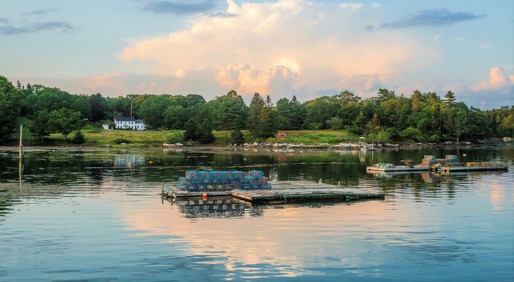
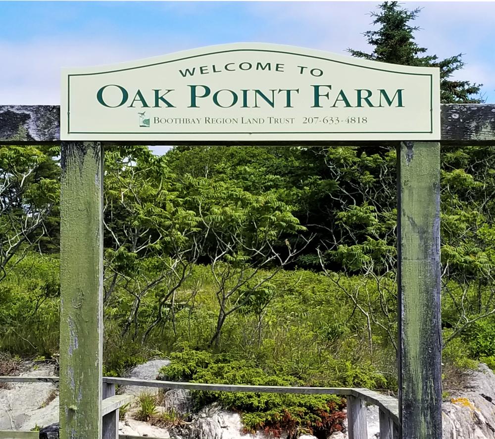
Situated on more than 2,000 feet of coastline on Hodgdon Cove, this unique 32-acre preserve is the last remaining undeveloped saltwater farm in Boothbay Harbor, providing access to the ocean, a vast assortment of natural habitats for wildlife observation, and trails on which to explore.
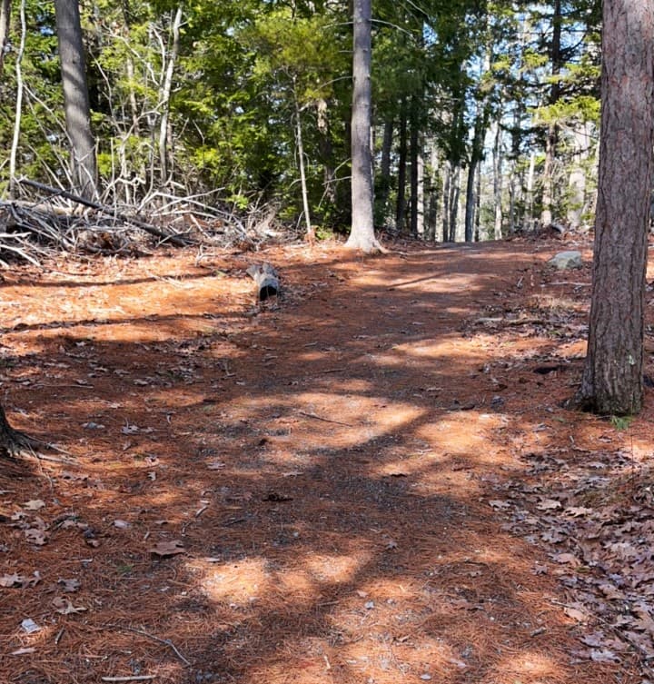
Trails lead through fields to a dock on Hodgeon Cove, around a freshwater pond, and through the woods with viewpoints of the fields and waterfront. The trail through the woods, heading left from the parking lot, offers a 0.76-mile loop around the entire property.
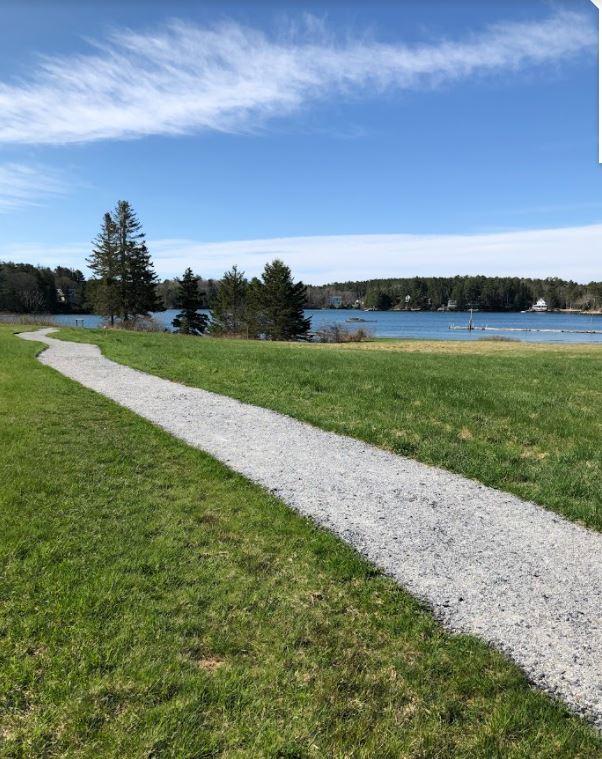
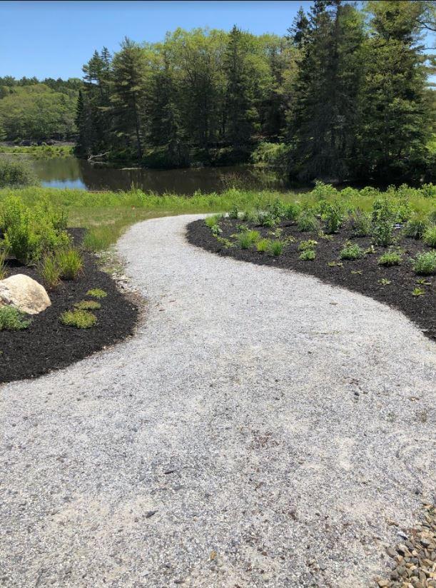
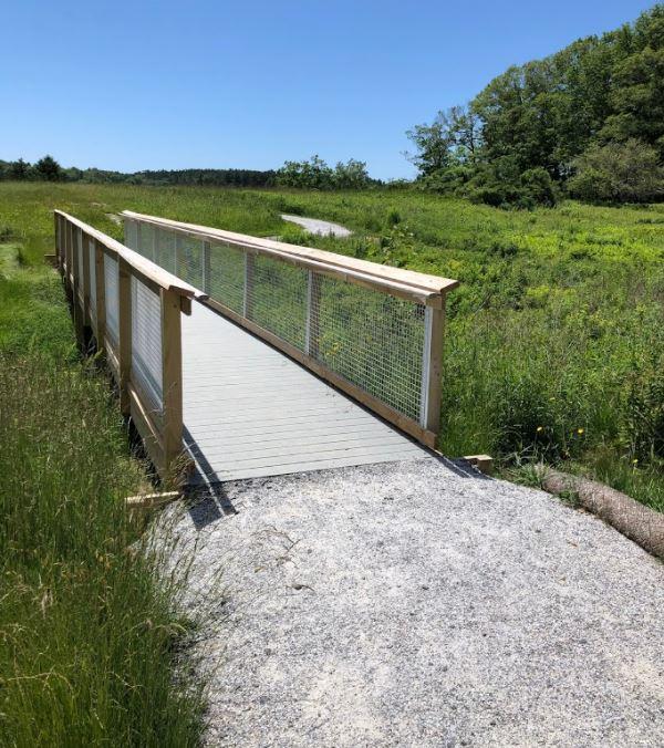
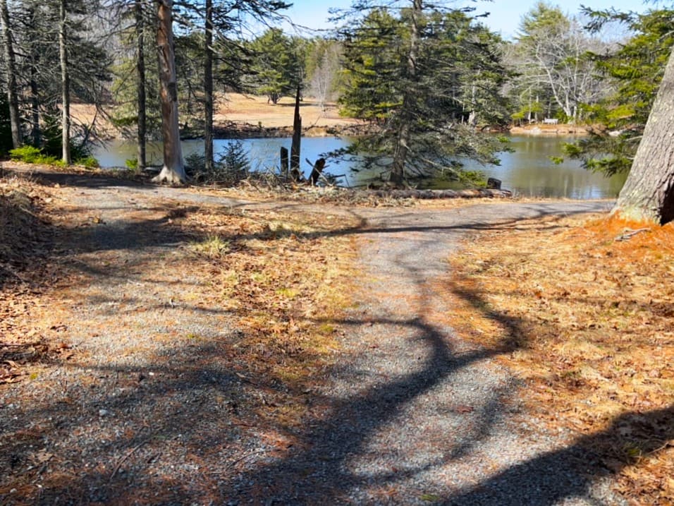
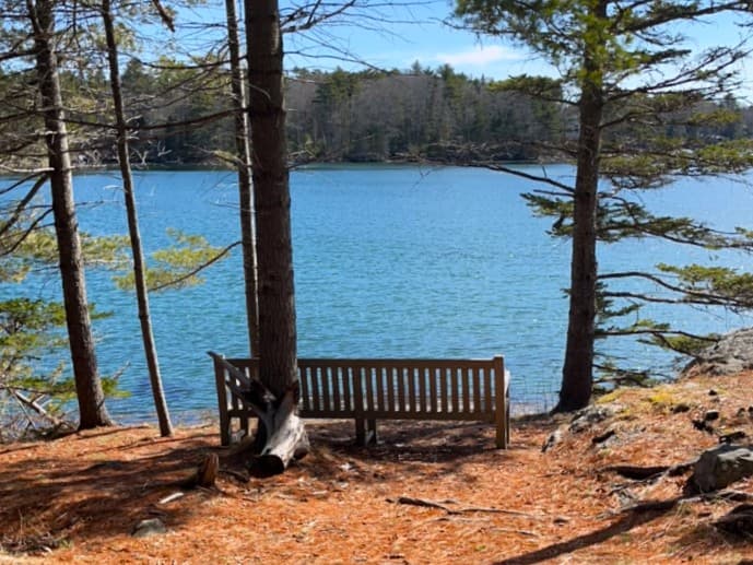
The farm includes 0.7 miles of universal access trail. The trail begins at the lower (disability access) parking lot adjacent to the farmhouse/ visitor center. After crossing a bridge the trail splits. One section of trail extends approximately 700 feet to the shore of Hodgdon Cove in Boothbay Harbor, with fields on either side providing open views of the shore. The other section loops around a freshwater pond, and then continues from the pond to the shore of Hodgdon Cove, offering both fresh and saltwater views.
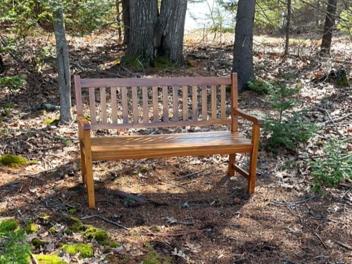
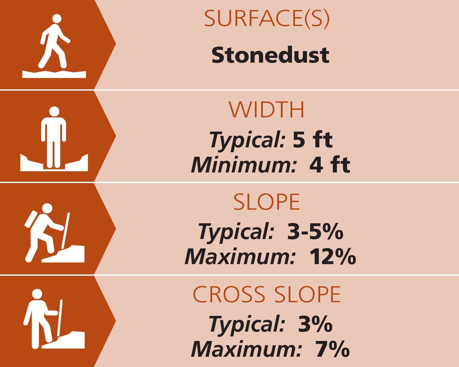
The universal access trails are 5 feet wide, with one bridge that is 4 feet wide. All the bridges have handrails. The trail is composed of crushed stone and stonedust and is hardened with a gentle grade throughout. Trails have 3-5% grades throughout with two spots that reach 12%. Typical cross slope was 3%. There are a number of resting spots along the way including benches and a picnic table. See Trail Access Information & Considerations below for more details on these access(ible) experiences.
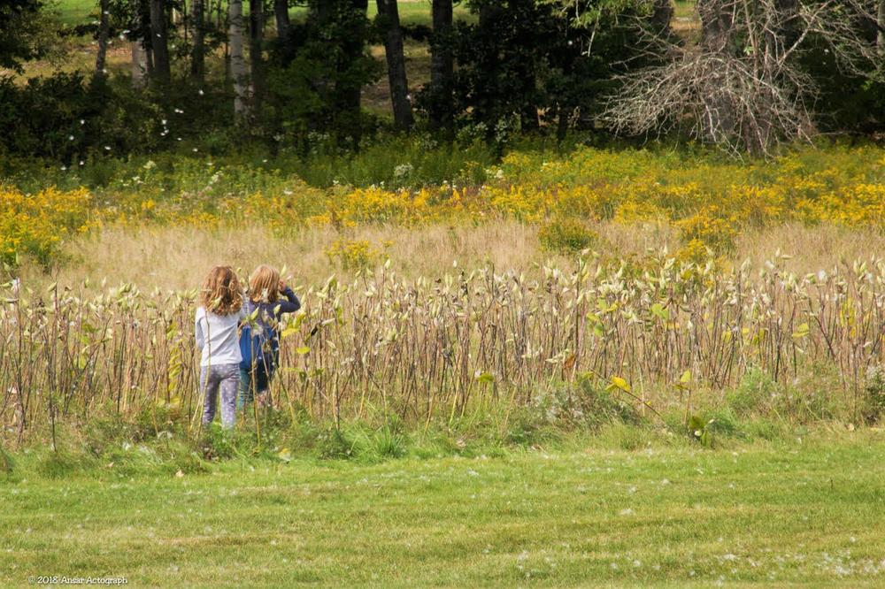
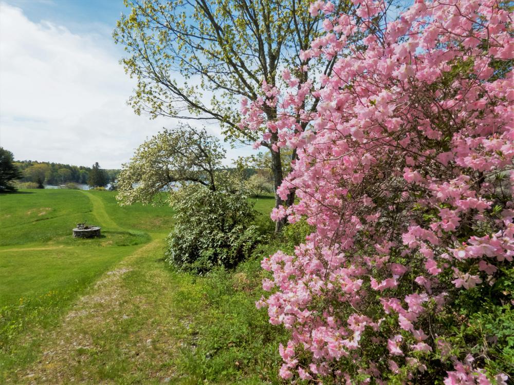
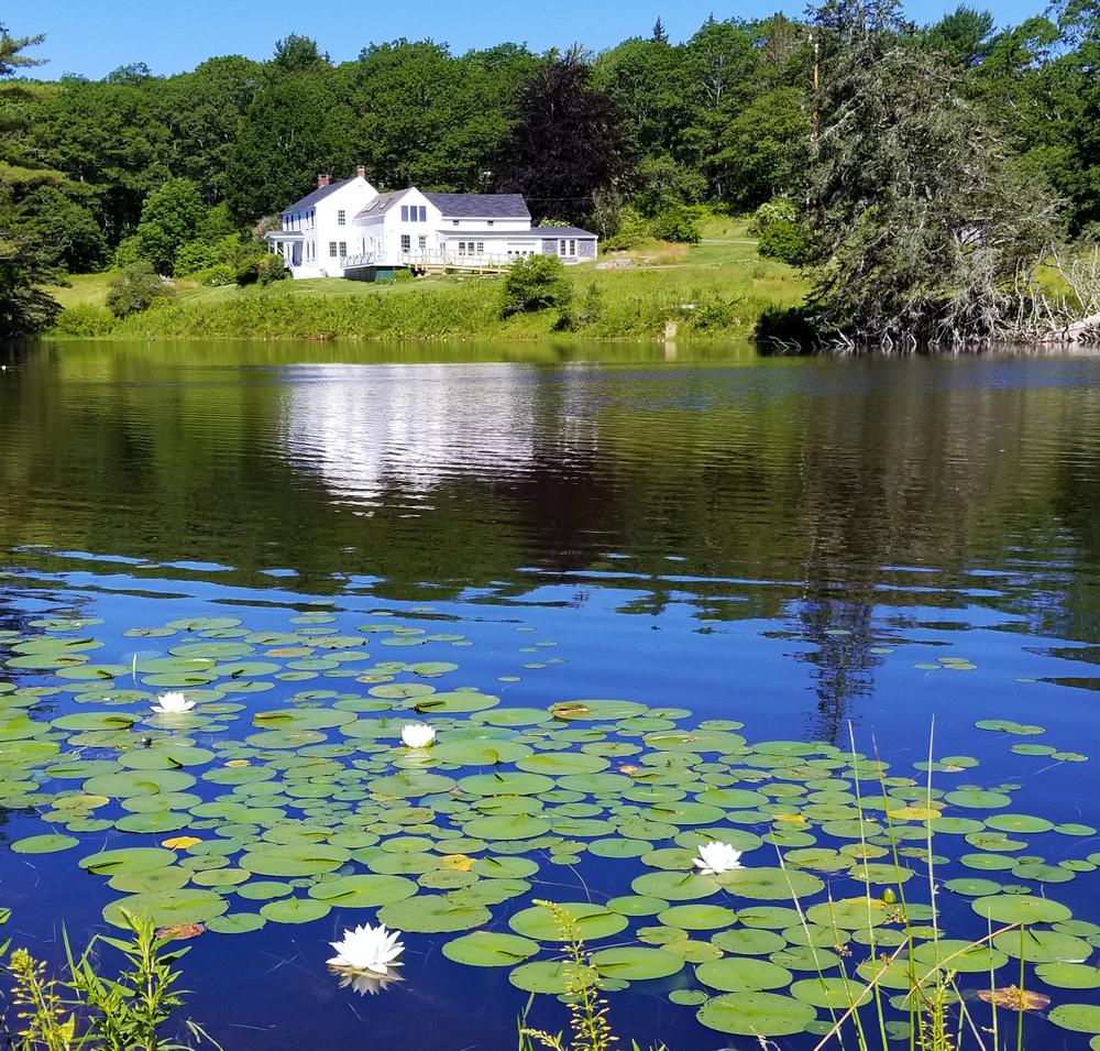
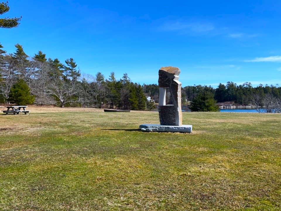
The large mowed field is perfect for picnicking, kite flying, sports, yoga, and more. Surrounding the farmhouse are heirloom apple trees and other evidence of the property’s farming history. The freshwater pond teems with wildlife from ducks and beavers to frogs and turtles. With a wide variety of sea and land bird species, Oak Point Farm is a perfect spot for birders. In the summer and early fall, the fields of Oak Point Farm fill with milkweed attracting hundreds of monarch butterflies. In winter, trails are open for cross-country skiing and snowshoeing, while the slope in front of the seasonal cottage is ideal for sledding, and the pond freezes over for ice skating.
Read about Enock's experience using a wheelchair on these trails in MTF Stories. Click here.
(Applies to access(ible) experience as highlighted on map)
Trail conditions can change without warning. Trail last assessed: 4/4/2026.
VISITOR CENTER
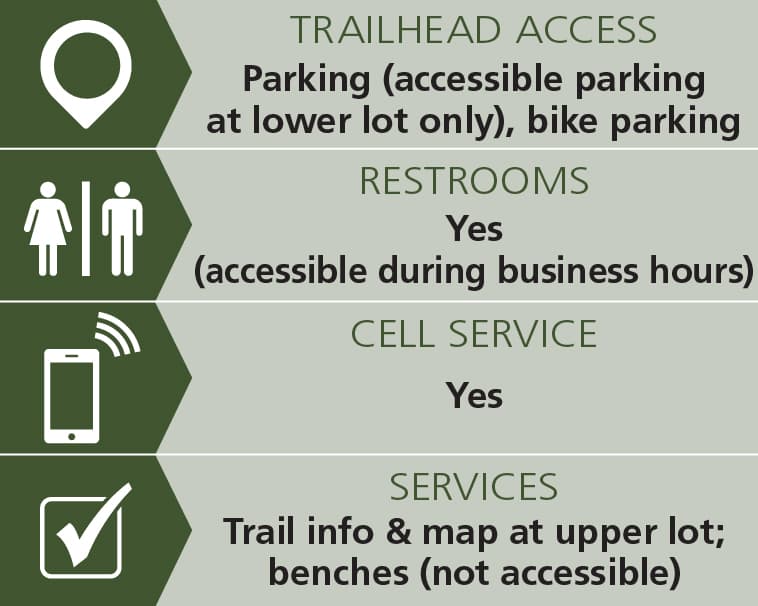
The early 1800s farmhouse serves as the Boothbay Region Land Trust headquarters as well as a Visitor Center, and is open weekdays 9am-4:30pm. During these hours, staff are on hand to provide general information and answer questions, and its public restrooms may be utlized. The visitor center and its bathrooms are fully ADA accessible. During summer, there is a Porta Potty near the upper parking lot for use when the visitor center is closed.
For more information, visit the Boothbay Region Land Trust website, or contact:
![]()
Consider Using a Stove: It’s safer, easier, and reduces impact. Lanterns and string lights make for great campsite ambiance instead of a campfire.
From Boothbay
At the traffic circle exit onto Corey Lane. Proceed 0.3 miles and continue onto Lakeside Drive. Go 1.4 miles then turn right onto Samoset Road. After 0.3 miles the preserve parking will be on the left.
From Boothbay Harbor
From the intersection of ME-27, West Street, and Howard Street on the west side of town, head south on ME-27 for 1.3 miles. Turn right onto Lakeside Drive and proceed 0.7 miles. Turn left onto Samoset Road. After 0.3 miles the preserve parking will be on the left.
From the Water
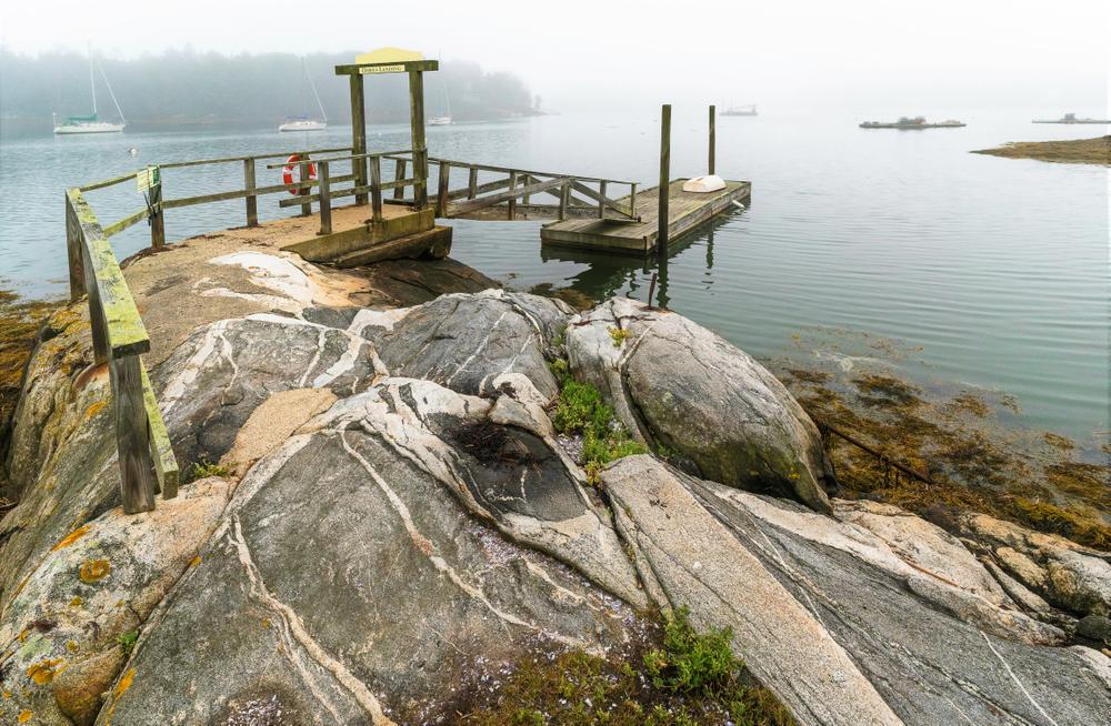
Water access is provided with a deep water dock, space for pulling up kayaks, as well as three courtesy moorings and a courtesy dinghy for public use.
Success! A new password has been emailed to you.