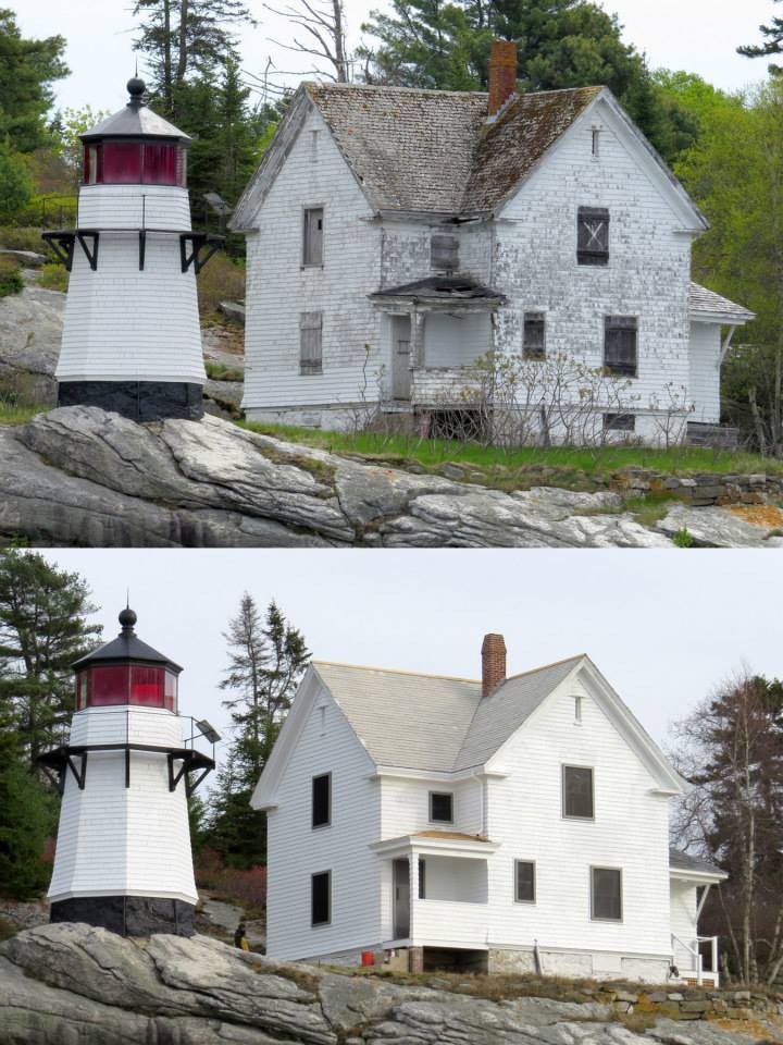
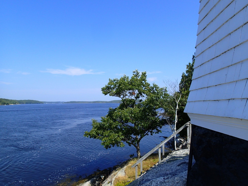
Perkins Island is a fine example of a place where nature, history, and culture mix - not too unlike the mixing tidal currents that ebb and flow past the island. The trail winds east to west across the island from the landing site on the undeveloped side of the island to the west side of the island where the light and its accompanying historic buildings sit overlooking the mouth of the Kennebec River several miles to the south. Recent trail work has extended the primitive footpath so that it not only reaches the light and keeper's house but also the bell tower and oil house. The path now also leads to a small ledge/beach area facing southward. The beach is only accessible at lower tide levels.
The trail itself is narrow and natural surfaced with ledge, rock, and dirt tread. There is a camping area just south of the trail near the landing area on the east side of the island. There is an open, grassy area in front of the keeper's house, facing the west channel of the river.
Perkins Island came to be owned by the Maine Bureau of Parks and Lands as part of a federal lands program in which the island was transferred from federal to state ownership - the lighthouse is still owned by the U.S. Coast Guard and licensed to the nonprofit American Lighthouse Foundation, who is responsible for its preservation. The lighthouse station here was commissioned at the end of the nineteenth century to help mark the channel for ships constructed in Bath. The lighthouse was automated in 1959. Today, it is an excellent example of the buildings and settings characteristic of Maine island lighthouses. The building interiors are not open to the public.
Management of Perkins Island involves collaboration between the land owner (Maine Bureau of Parks and Lands), the trail manager (Maine Island Trail Association), the American Lighthouse Foundation, and volunteers working with and donating to the betterment of the island. Visit the Maine Island Trail online to learn more about this coastal resource. The American Lighthouse Foundation, provides information specifically about Perkins Island Light and the recent collaborative work to improve and protect the historic resources on site.
Perkin's Island is managed by the Maine Island Trail Association in cooperation with the Maine Bureau of Parks and Lands. For more information, contact:
![]()
Respect Group Limits: Smaller groups can reduce environmental impacts and preserve solitude.
Access to Perkins Island from public boat launch sites requires substantial travel in a river segment with strong tidal currents. The Morse Cove public boat launch is the closest available launch. Located upriver in Phippsburg off the Reach Road, it is roughly 7 miles south from the launch to Perkins Island. Launching further north from the South End Launch in Bath (Washington Street - south of Bath Iron Works and the Maine Maritime Museum) adds another 1.7 miles to the on-water travel. [Zoom the map out to see the location of these two launches.]
Paddlers and small boaters should pay particular attention to the tide cycle as the Kennebec below Bath is a strong, tidal river in addition to being open to strong winds. Trip planning to access the island should account for these factors. Landing on the island is done on the east side next to a projecting ledge providing protection from rushing tides. A float has recently been placed here with kind support from a local benefactor.
Island Location: 43° 47' 10" N 69° 47' 03" W
Success! A new password has been emailed to you.