Pleasant Mountain Trails

Pleasant Mountain is southern Maine’s tallest mountain at 2,006 feet. The nearly ten mile trail network offers a variety of moderately challenging day hikes. The summits provide commanding views of the White Mountains to the west and spectacular views to the east.
Trail Activity
Snowshoeing Cross-country-skiing Hiking
Length
10.50 miles, Network
Difficulty
Moderate, Advanced
Towns
Bridgton, Denmark
Surface
Dirt/Forest Floor, Rock/Ledge
Pets
Permitted
Fees
No

Description

HIGH USE TRAIL:

This is a busy trail system, especially on weekends between 9AM-4PM. Consider visiting outside of peak periods. Use Maine Trail Finder to identify other nearby trails. If the parking lot is full when you arrive, please choose another trail. 

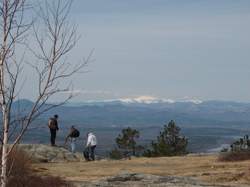
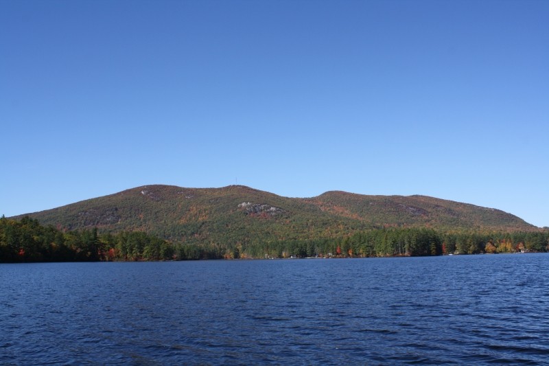
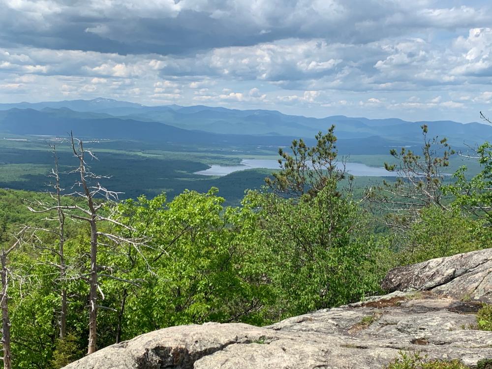
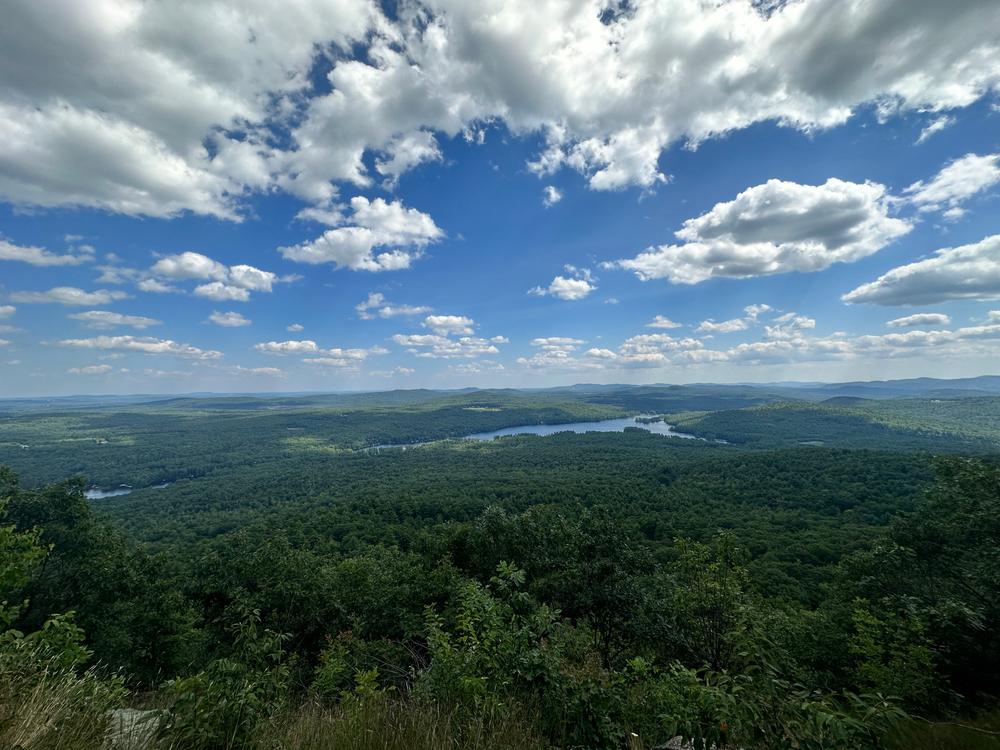
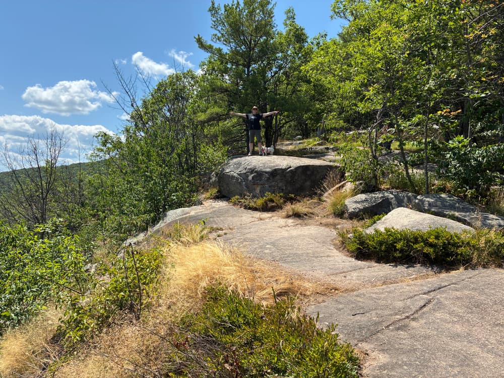
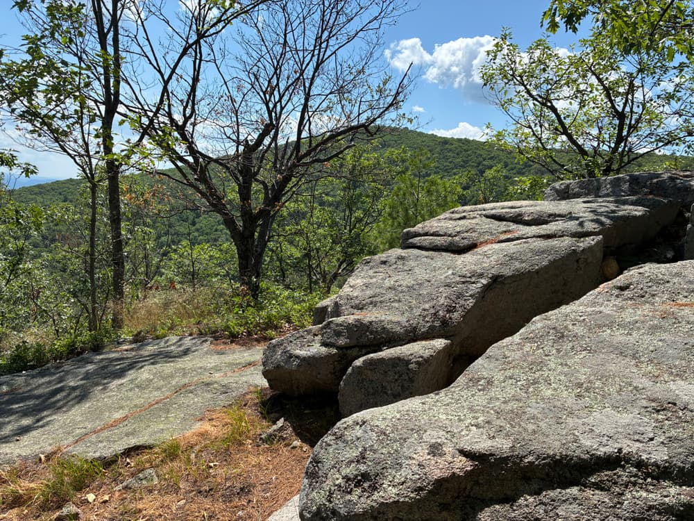
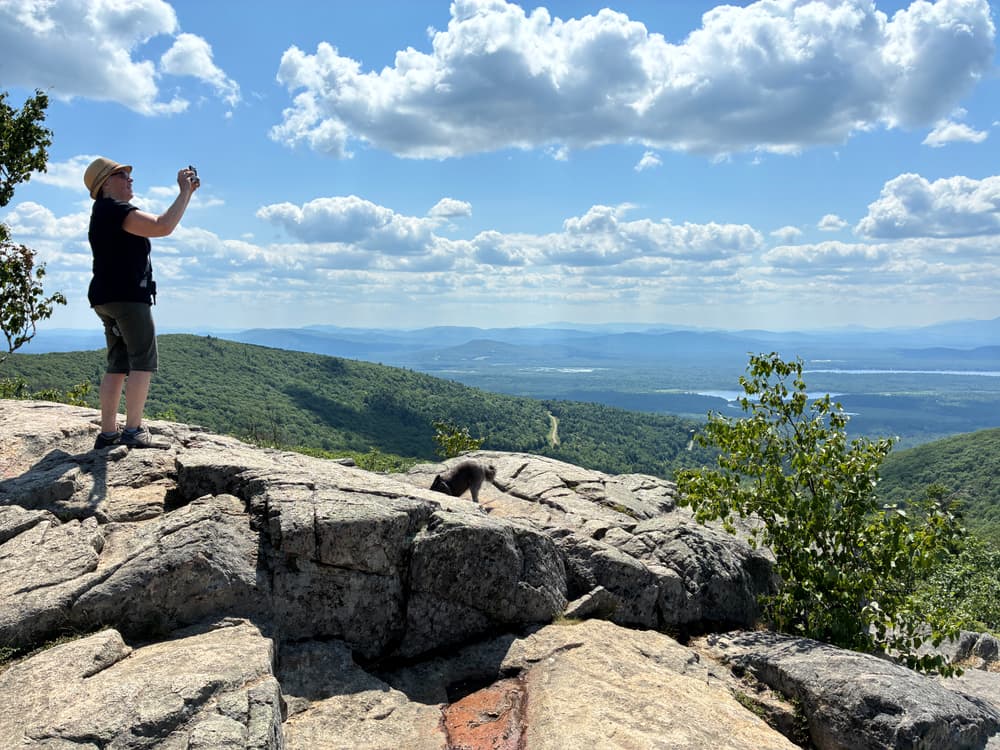
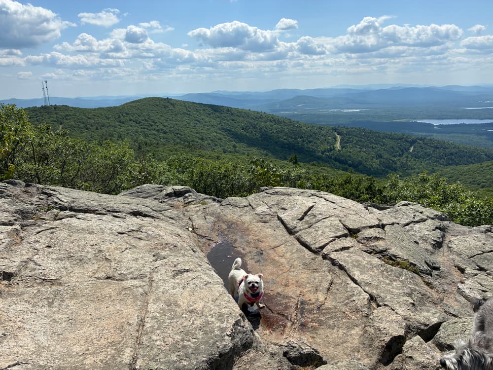
Pleasant Mountain is southern Maine's tallest mountain providing excellent views of the region. The extensive trail network provides great day hikes better suited to more experienced and ready for a moderately challenging adventure.

Bald Peak Trail (2.4 miles): This blue-blazed trail is accessed from Mountain Road and has a 1,900 foot elevation gain. The trail leads up to Big Bald Peak and then swings south to Pleasant Mountain's summit.

Sue’s Way (0.5 miles): This orange-blazed trail provides access from the Bald Peak Trail to the top of the Shawnee Peak Ski Area. There is a 500 foot elevation gain. Orange blazing. Access via Bald Peak Trail or North Ridge Trail.

North Ridge Trail (0.8 miles): Blazed with white, this trail connects Sue's Way back with the Bald Peak Trail to create a loop. The elevation gain is 200 feet.

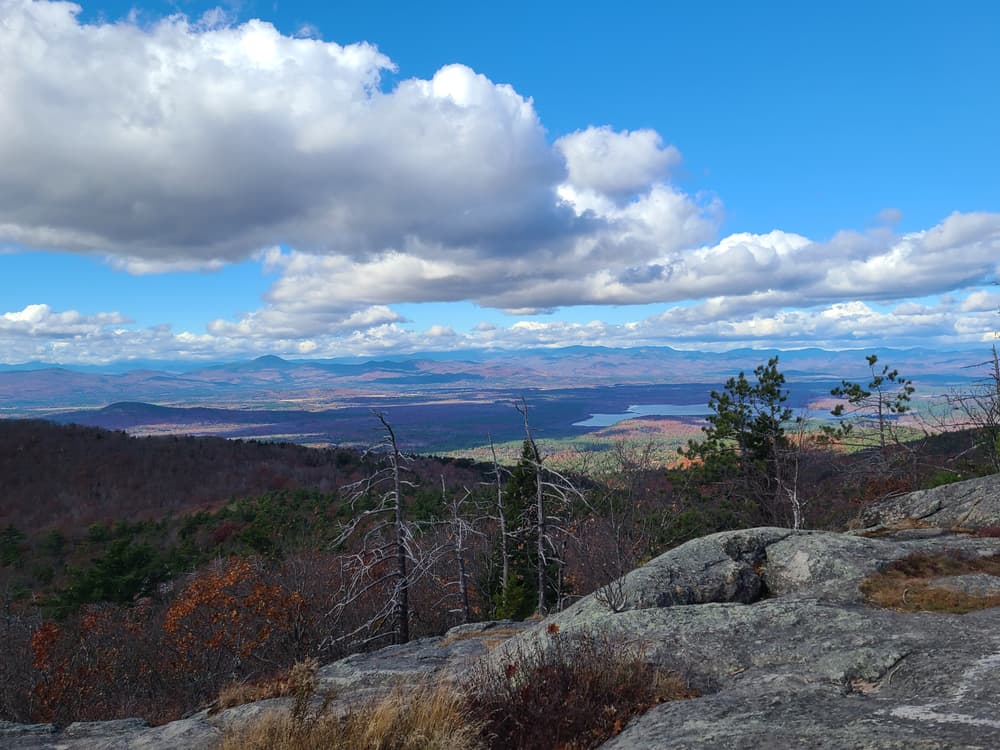
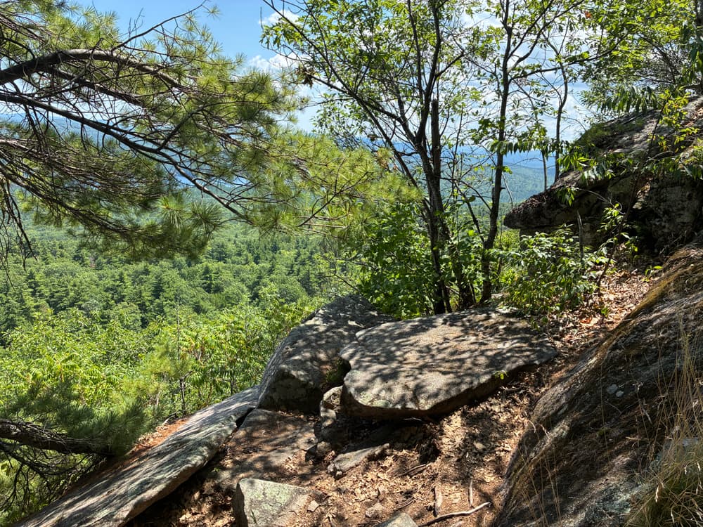
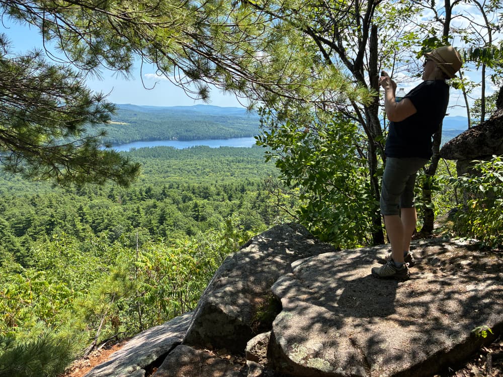
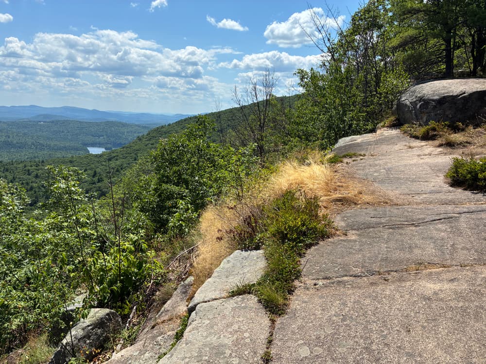
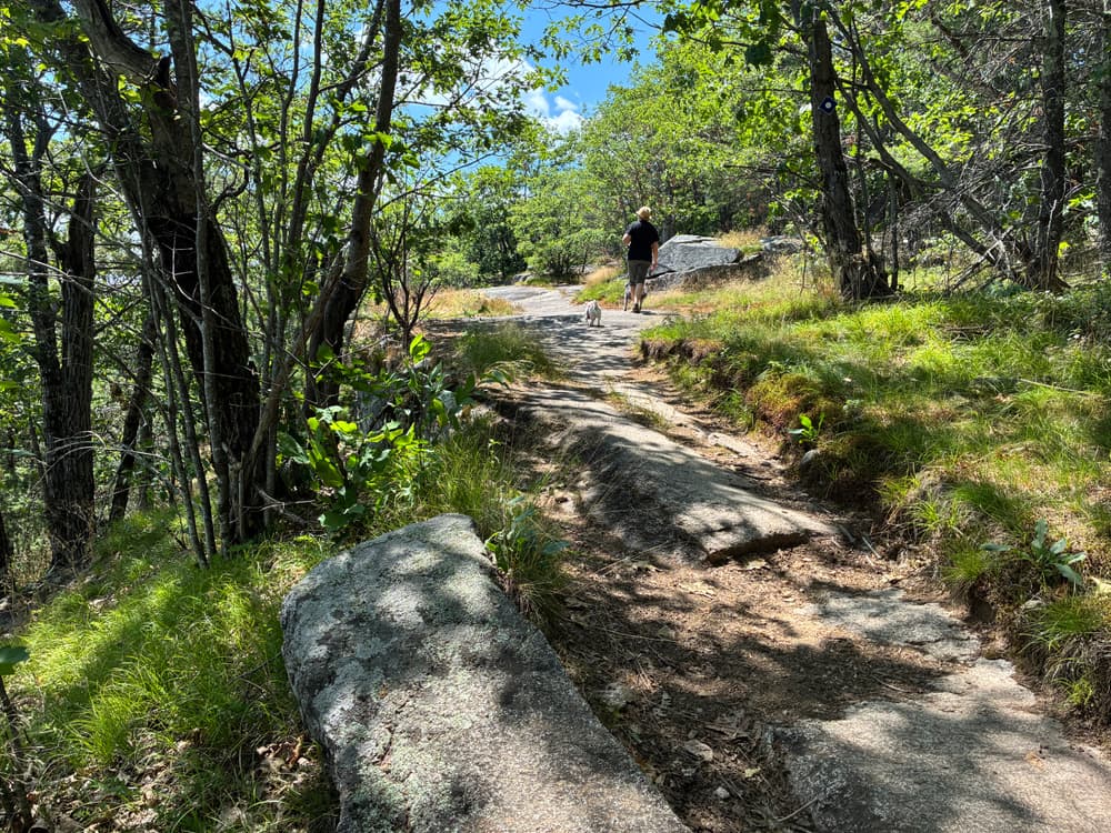
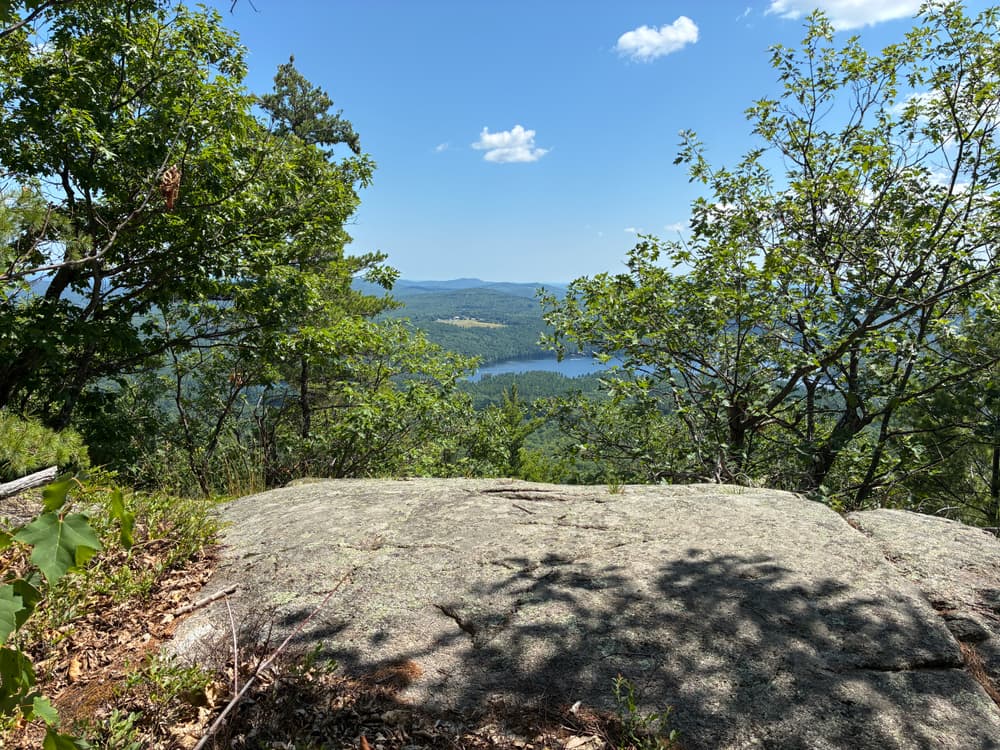
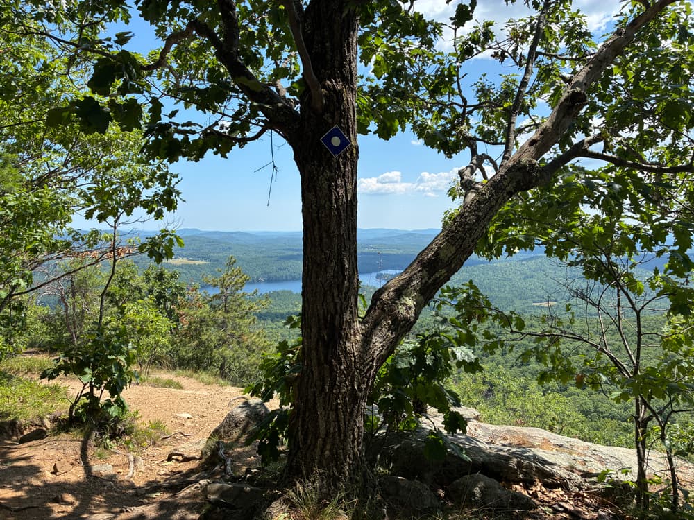
Ledges Trail (1.8 miles): This blue-blazed trail, provides another access from Mountain Road to the primary summit of Pleasant Mountain offering scenic overlooks along the way. Elevation gain is 1,600 feet and the parking area is adjacent to fire lane 54.

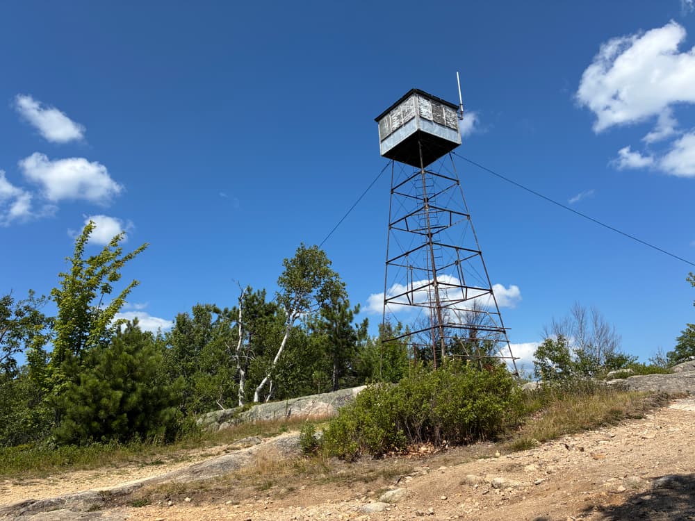
Fire Warden’s Trail (2.3 miles): This trail provides access to Pleasant Mountain's summit from the northwest via Wilton Warrent Road and is used by snowmobiles in the winter. Trail is blazed with red and has a 1,500 foot elevation gain. 

Southwest Ridge Trail (2.7 miles): This trail provides access to Pleasant Mountain's southwest and primary summits via the Denmark Road. The trail is blazed with yellow with rock cairns.

Other Information

With the exception that snowmobiles are allowed on the Fire Warden's Trail in the winter, no motorized vehicles are allowed beyond parking areas. Hunting is allowed in season, so please wear blaze orange October through December.

Use Guidelines:

  • Stay on marked trails and hike in single file.
  • Carry trash in, carry trash out.
  • No campfires or camping.
  • Keep pets under control at all times.
  • Do not disturb wildlife and plant-life.

Natural Heritage HikesNatural Heritage Hikes is a project of the Maine Natural Areas Program in partnership with Maine Trail Finder. View the "Pleasant Mountain - Ledges Trail" guide online here


LMF Logo

This trail passes through a property that was acquired in part with funds from the Land for Maine’s Future program. For more information about the LMF program and the places it has helped to protect, please visit the LMF webpage.

Trail Manager

Visit Loon Echo Land Trust online or contact:

Loon Echo Land Trust

Loon Echo Land Trust
8 Depot Street, Suite 4
Bridgton, ME 04009
Phone: (207) 647-4352
info@lelt.org
View website

Nearby Events

VIEW EVENTS CALENDAR

Trail Tips

Respect Wildlife
Keep your pets under control at all times, to protect both them and wild animals, fragile environments, and the enjoyment of other visitors.
Legend
Hide All

Trailhead Information

From Bridgton, follow US Route 302 west for approximately 6 miles. Turn left onto Mountain Road and continue for 1 mile, passing Shawnee Peak Ski Area, to the Bald Peak Trailhead on the right side of the road. The Ledges Trailhead is in another 2 miles.

To access Pleasant Mountain from the west via the Fire Warden’s and Southwest Ridge Trails. Continue on US Route 302 past Mountain Road for another 2.3 miles to turn left onto the Wilton Warren Road. The Fire Warden's Trailhead is 1.1 miles from US Route 302 on the left. To access the Southwest Ridge Trailhead, continue on Wilton Warren Road to its end at Denmark Road and turn left. The trailhead will be in just under a mile on the left.

Click on a parking icon to get custom directions
Please Log In or Create Account to add comments.
squatchee
September 27, 2021
Hiked the Southwest Ridge trail and then took the short trail over the main summit. This was my first trip up Pleasant Mtn and I loved it! The trail was in great shape and was well-marked. There were several places to catch your breath and take in the great views. Right now these trails are flagged as high use on the weekends. I hiked it on a Monday and saw about 6-8 folks on the way up (some who had taken other trails up to the summit) and 3 on the way down. If you can hike on a weekday, you'll definitely enjoy lots of space.
travischim
May 17, 2020
Another trail closed due to covid when the state had less than 50 deaths, mostly in old age homes. It's now 5/17 and the trail is still closed even though the county it's in is open for all retail businesses. A lot of trails in the area are closed still and the reason they give is that people are not social distancing and crowding the trails. So the solution is to close half of them??? Are they purposefully trying to destroy all the small businesses that depend on spring and summer hikers?
splewis
May 27, 2019
This little mountain is in my backyard, and to date (May 2019) I've run it 285 times. Of the several trails up the mountain, I would rate the Ledges Trail and the Southwest Ridge trail as far and away the nicest. The Ledges, in particular, is well-suited to trail running, as the trail is laid out perfectly, with nice switchbacks on the steep sections; and it has great views starting at the halfway point and going all the way to the summit. The SW Ridge is wonderful in the early and late seasons, as it gets full sun and thus is snow-free later in the fall and opens up much earlier than the Ledges in the spring. The North Ridge trail from the summit to Bald Peak and back is wonderful, especially during blueberry season. I would skip the Bald Peak Trail (unless incorporating it in a loop with the Ledges Trail); it's a bit steep for running, and there are no veiws until the very top. I would also skip the Fire Warden's Trail. It's buried in the woods and there has been a bunch of logging in there in recent years, so it's kind of yucky. A wonderful traverse can be made if you have two cars, by combining the Ledges and SW Ridge trails, up and over the entire massif. Either way is fine. Now, onto run #286!
phan
May 22, 2018
My husband and I hiked the Southwest Ridge Trail yesterday. It was our first hike this spring, and we probably should have worked up to it! The trail goes straight up the mountain, which means straight down at the end! There are very few flat areas for respite. It is listed as moderate, but we would also consider it strenuous, due to the steepness and rocky nature of the trail That being said, it was gorgeous. The day was perfect and the views spectacular. We will definitely go back later in the season. Do NOT forget bug spray! We met only two other hikers, but shared the trail with millions of mosquitos!
foxtrickadventures
March 05, 2018
The FireWarden trail is awesome for kids, people taking their first hike or someone that wants to get to a beautiful view fast. 2.3 miles and at no point is the climb very difficult. It can be slippery when wet and especially during the fall when the leaves are down. Provides excellent views of the Presidential Range. Parking is easy.

Best,
Kasey Marsters
www.foxtrickadventures.com
jshikes207
May 13, 2017
Ledges & Bald Peak Trails are in awesome shape. The new sign at Bald Peak trailhead reads 2.4 miles to Main Summit not 2.2
hiking2017
April 12, 2017
I hiked firewardens trail yesterday.
The snow is pretty soft and slushy for a majority of the way. There are a few spots that are a little more icy, but if you have poles or spikes, you'll be fine.

Everything's worth it once you make it to the summit. Clear views all the way to mt Washington.

Took about 2 hours for me to climb up and about one hour to get down, and I'm by no means in shape. Great day hike if you want to have lunch at the top. Saw a few other people and their 4 legged companions as well.
powerska1
March 04, 2017
I must say, what a under-published trail for winter hikes!! I was waffling between the Fire Warden trail and Bald Peak. My 4-legged and I decided to venture the wetter of the two, mainly to steer clear of sleds, and hopefully take in some views (understatement!!!). Take off from Bald Peak trail head and you won't be disappointed. The trail head has a beautiful plowed lot just past the East Lodge of Shawnee. I highly recommend microspikes (March), 0.5-1.0mi is very thick ice in several spots, unless you are very comfortable with your snowshoes. The entire trail can be traversed in spikes at this point, (Mile 1-2 is very sporadic with snow). The first mile is pretty much straight up. The last 1.4 miles to the fire tower is fairly level with the exception of a few ups and downs. There are 3 brook crossings at this point, I'm sure the later it gets, the more things open up. The first 1/2/ mile also has some beautiful mini falls. A big thank you to Loon Echo Land Trust for maintaining these trails, impeccably marked. Happy Hiking!! I love to see more winter reviews on local trails!!!
mainetrailfinder
April 28, 2016
We have now added two parking areas to the map. Thanks larryh for pointing out the update! Happy hiking. -MTF Team
larryh
April 26, 2016
Bald Peak and Southwest Ridge Trails have parking areas that are not shown on the map.
fraggle515
February 01, 2016
In town Bridgton there is a public Beach with ample parking. Coming down 302 from the mountain, pass the monument on the right.. Continue down hill. On the left hand side shortly after, you will see the lake. Road and beach are right there. Parking in across the road from the lake.
tfiske
November 26, 2015
I went swimming next to the boat landing on 302. It wasn't a beach, and a guy was putting his boat in at the time so there was a bunch of exhaust in the air, but I was more interested in getting in the water. I think on the north side of 302 there might be some better options which I will explore next year. I don't know of a specific public beach though.
bibliobrandie
August 17, 2015
Are there public swimming beaches on Moose Pond? It would be lovely to go for a swim after the hike.
tfiske
July 04, 2015
The trail from the south west peak to the main peak now takes a different course than shown above. It no longer shares the access road to the antenna station. Instead it stays in the woods to the west of the road, avoiding the harsh installation and providing a continuously forested trail. It makes hiking this mountain even more Pleasant!
These awesome businesses support our goal of connecting people to outdoor adventures in Maine!
Hang Tight!
Nearby services are loading
No Results
No Services Found
SHARE THIS TRAIL

Add Trail Log

Please wait…
Join In on the Fun!
Log in or create an account below to unlock all the great features of Maine trail finder: keep track of trails you want to do, preserve memories of trails you’ve done, earn badges, and more!
Your log in attempt was not successful. Please try again.
    Lost your password? Reset your password
    Don't yet have an account?
    There was an issue with your submission. Please try again.
      * Indicates required field
      Already have an account? Login here
      Enter your username, and we will send you a new, randomly generated password to your email account.
      There was an issue with your submission. Please try again.

        Success! A new password has been emailed to you.

        Log in now

        Please wait…