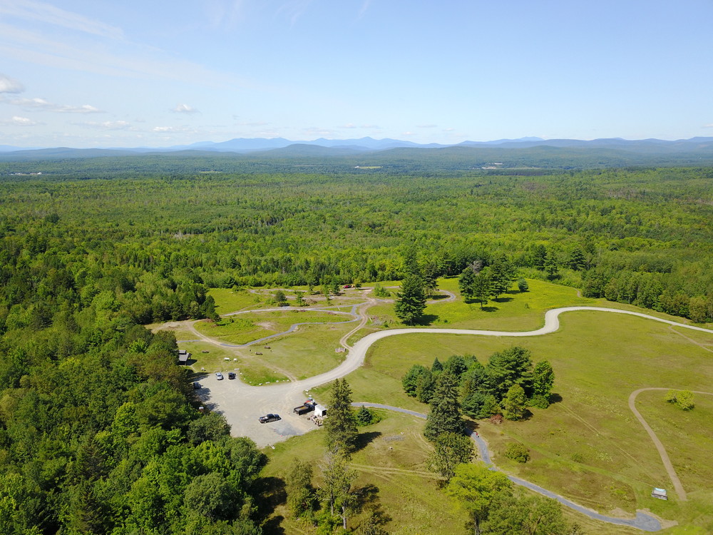
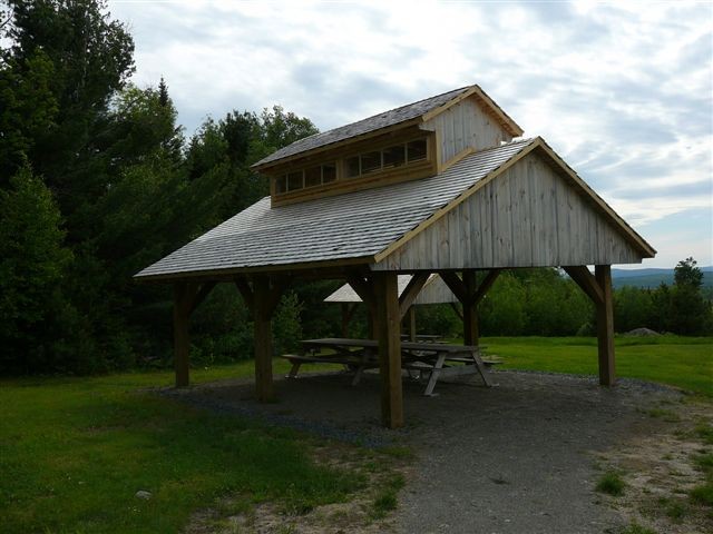
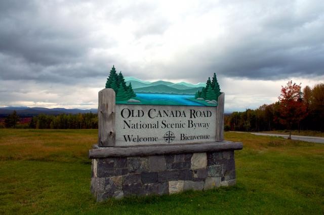
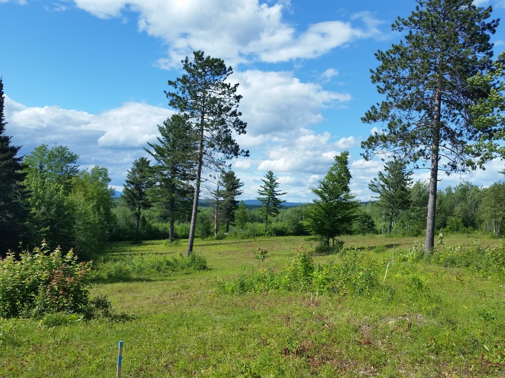
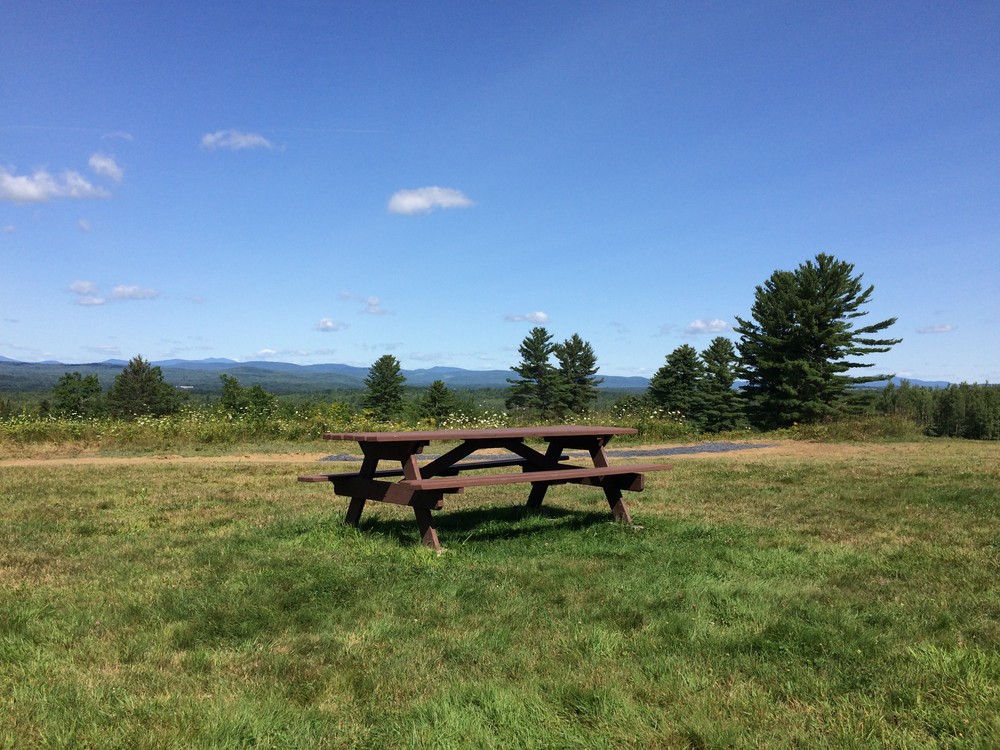
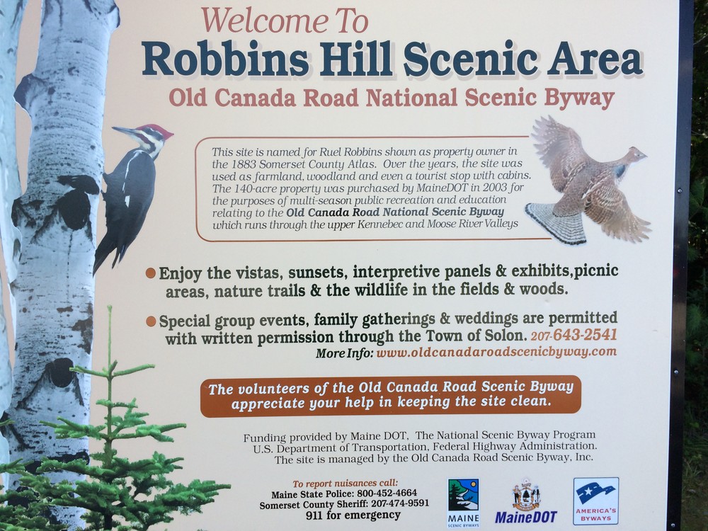
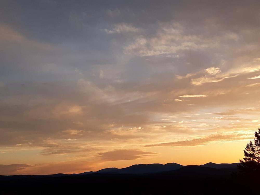
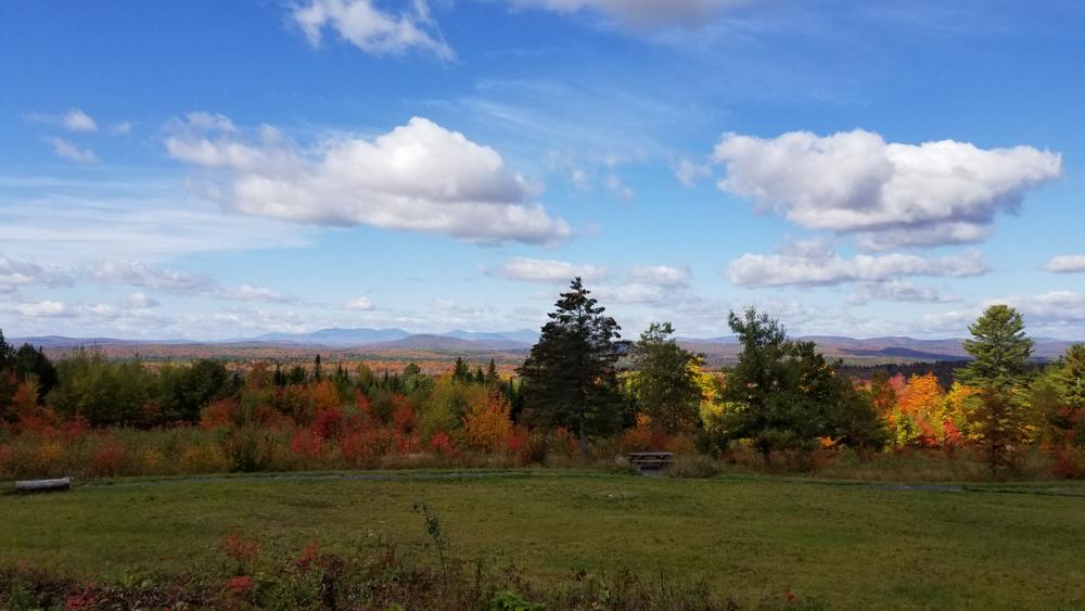
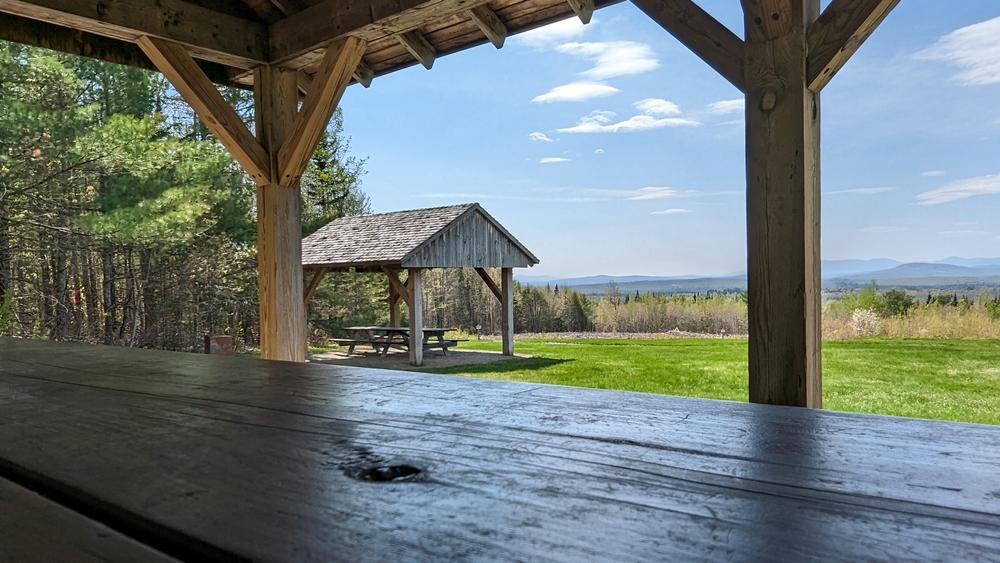
Robbins Hill Scenic Area marks the southernmost end of the Old Canada Road National Scenic Byway and offers fantastic views westward across the upper Kennebec River Valley and the High Peaks Region. Walking trails wind through open meadow on the broad crest of the hill and dip down into the forested section of the property. At the top of the hill, two picnic shelters provide a lunch site with a view and several picnic tables and benches scattered through the upper field give visitors room to find their own space.
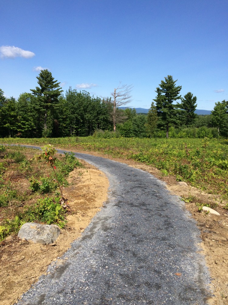
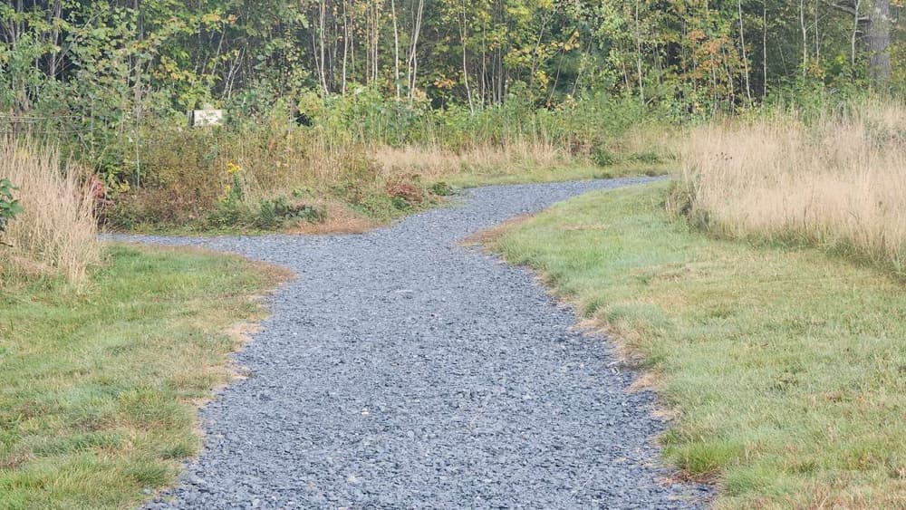
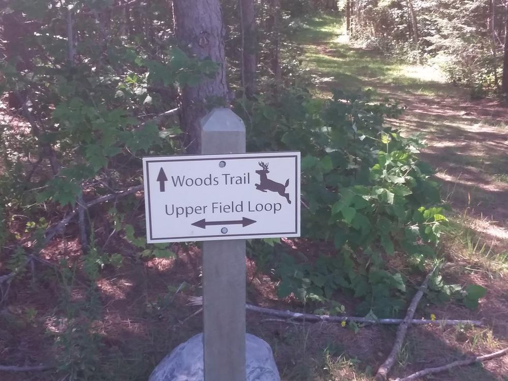
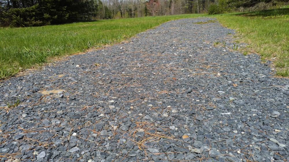
Upper Field and Lower Field Loops: Two loops form a figure eight at the center of the property. These trails are surfaced with large gravel, which is difficult to navigate with mobility assistance equipment on areas with steeper grades. The trails were originally designed as universally accessible, but they have deteriorated with time. Depending on the time of year, they may be a bit soft for some mobility devices. Accessing these also requires crossing grass. Benches and picnic tables have been placed at intervals along the trails, providing excellent places to rest and take in the views of Sugarloaf, Abraham, and the Bigelow Mountains to the west. Be sure to check out the interpretive panel at the southern end of the Lower Field Loop and keep your eyes out for the residents of this field habitat: wildflowers, blueberries, pollinators and soaring hawks.
Sign Path: This is a short, gravel-surfaced path, which is difficult to find, leaves from the upper parking lot and traverses level ground towards the road where it ends at the roadside sign marking the start of the Old Canada Road National Scenic Byway. The Sign Path can be linked with the Edge Trail to continue to the lower parking lot and then around the perimeter of the scenic area.
Edge Trail: This is a 0.4 mile trail over mown grass. The Edge Trail connects the Sign Path, lower parking lot, Woods Trail, and Lower Field Loop. Skirting the perimeter of the scenic area, the Edge Trail passes through both field habitat and 'edge' habitat along the border of the woods. Look for songbirds, grasshoppers and the old stone wall along this trail.
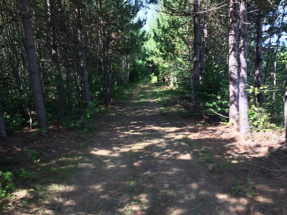
Woods Trail: The Woods Trail travels for 0.3 miles through the woods on the western downhill edge of Robbins Hill Scenic Area. This trail connects the Upper Field Loop, Lower Field Loop, and the Edge Trail. The trail is wide and well maintained, but walkers should use caution and watch for roots, pine needles, and slippery dead leaves. As its name suggests, the Woods Trail is surrounded by verdant woodland habitat, home to many tree species and shade-loving ferns and trilliums. With luck, an owl may also be seen.
Robbins Hill Scenic Area is owned by the Maine Department of Transportation and managed jointly by the Old Canada Road Scenic Byway and the Town of Solon. For inquiries about hosting events at Robbins Hill, please contact the Town of Solon. For other information, please contact:
![]()
Use Fire Rings: Only build fires in approved sites.
From Skowhegan: Travel north on US-201 for 10.3 miles. The access drive for Robbins Hill Scenic Area is on the left, 0.5 miles past the junction with ME-43.
From Bingham: Travel south on US-201 for 12.2 miles. The access drive for Robbins Hill Scenic Area is on the right near the crest of the hill.
There are two parking lots at Robbins Hill Scenic Area, the first is immediately on the left after the turn onto the access drive. The second is located at the end of the access drive at the top of the hill and is next to the picnic area and bathroom.
Success! A new password has been emailed to you.