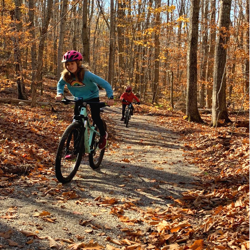
The 5.5 mile Round the Mountain Trail is the flagship trail of a 3,200-acre protected area on Bald and Ragged Mountains. The 6-8 foot-wide, machine-built trail with a mostly graveled trail surface is perfect for running, non-technical mountain biking, or moderate hiking and walking. The multi-use trail, open to bikes and foot traffic (closed to horses and motorized vehicles), is currently an out-and-back trek, but it offers numerous connections to other hiking and/or mountain biking trails. Construction is currently underway for an additional mile of trail that will extend to the north side of the mountain.
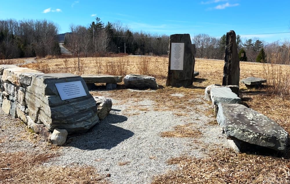
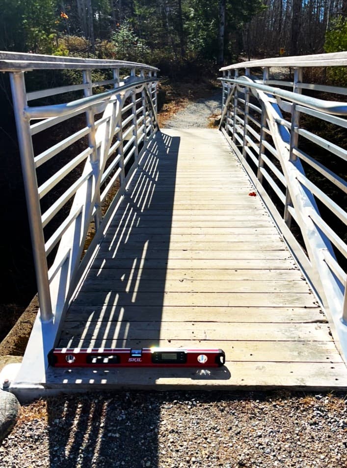
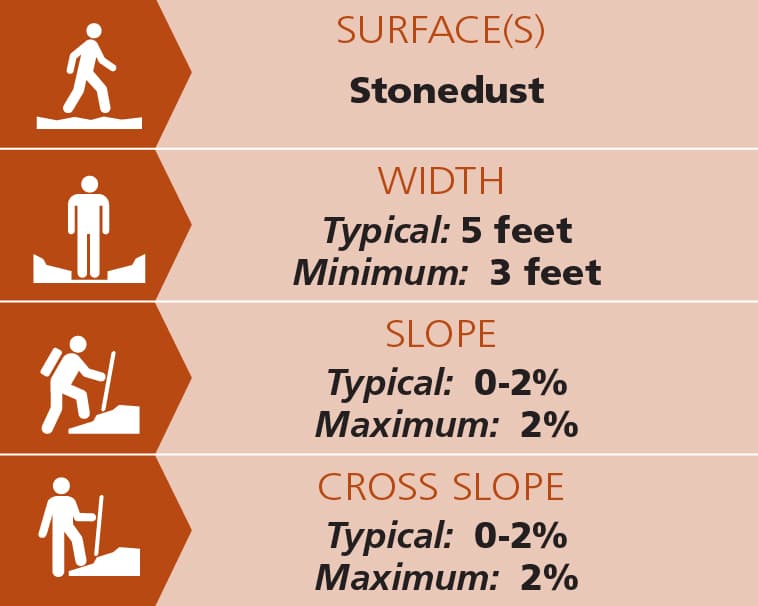
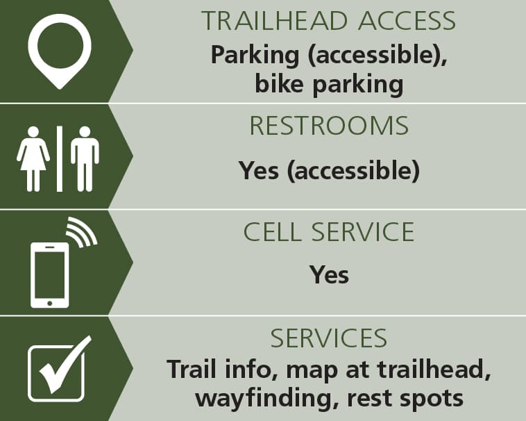
From the Thorndike Brook Trailhead, the first 0.25 miles of the Round the Mountain Trail is a 5-foot wide highly accessible trail of compacted stone dust from the parking lot to a bridge over Thorndike Brook. This first section has low to no running and cross slopes. Organic shaped stone benches provide two rest spots.
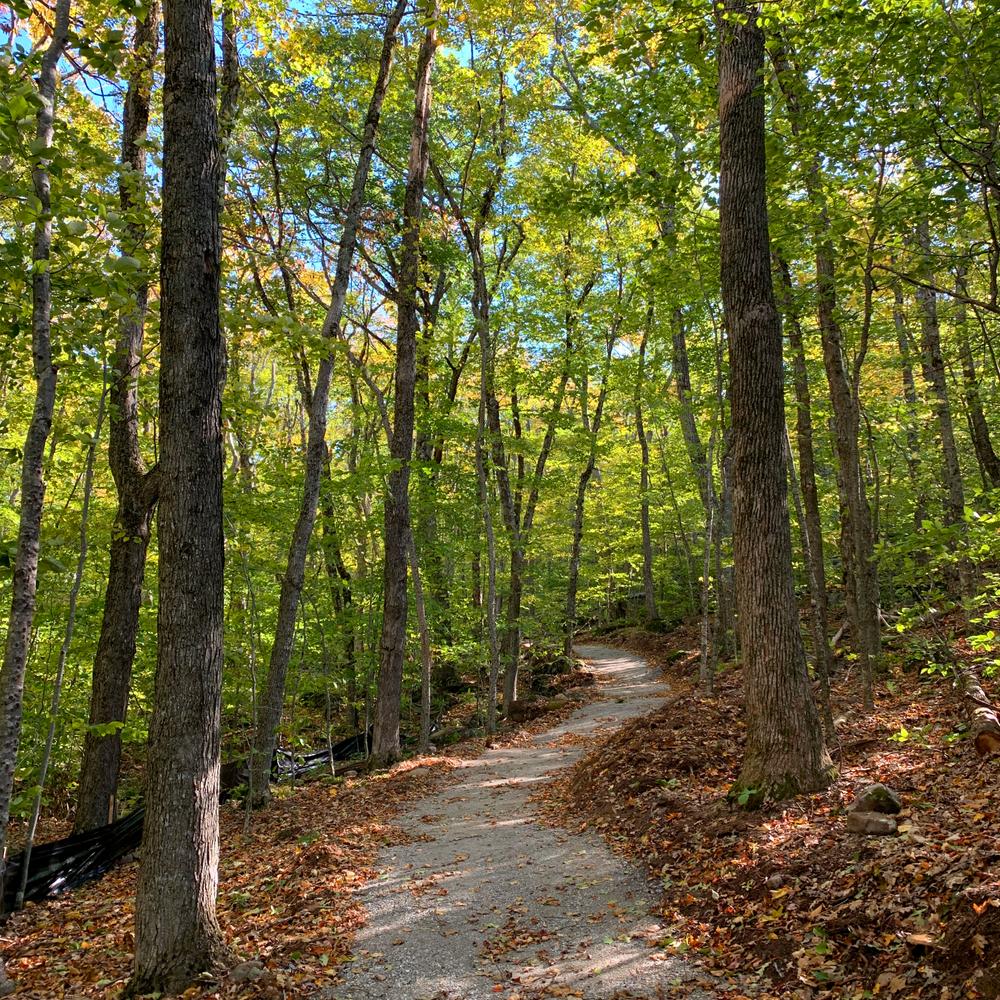
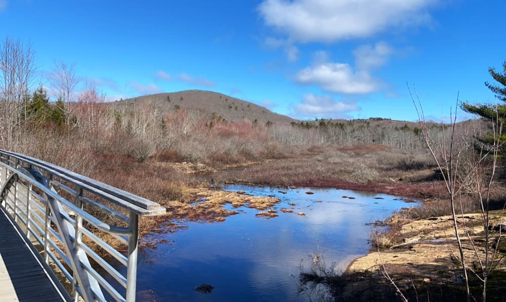
From the bridge the trail gently climbs through mature forests and across scenic streams on the western side of Ragged Mountain, at an average grade of less than 12%. This machine-built trail purpose built trail is over 3 feet wide with a smooth, compacted and firm dirt surface. After intersecting the Georges Highland Path two miles from the Thorndike Brook Trailhead, the trail climbs up the Ragged Mountain ridge, crossing onto the east side of the mountain at a saddle. The trail then curls back towards the Camden Snow Bowl, intersecting the Five Brooks and the Fitzy mountain bike trails. The last mile of the trail is shared with the Kuller loop, which is steeper and less smooth than the previous 4.5 miles.
(Applies to the section from Thorndike Brook trailhead parking to bridge, highlighted as an access(ible) experience in the map)
Trail conditions can change without warning. Trail last assessed: 4/4/2026.
PRESERVE GUIDELINES
For additional information, please visit the Coastal Mountains Land Trust website, or visit:
![]()
Respect Cultural Sites: Observe historic structures and artifacts but leave them untouched, and only visit areas open to guests. Taking or moving historical artifacts can erase some of our only records of that history.
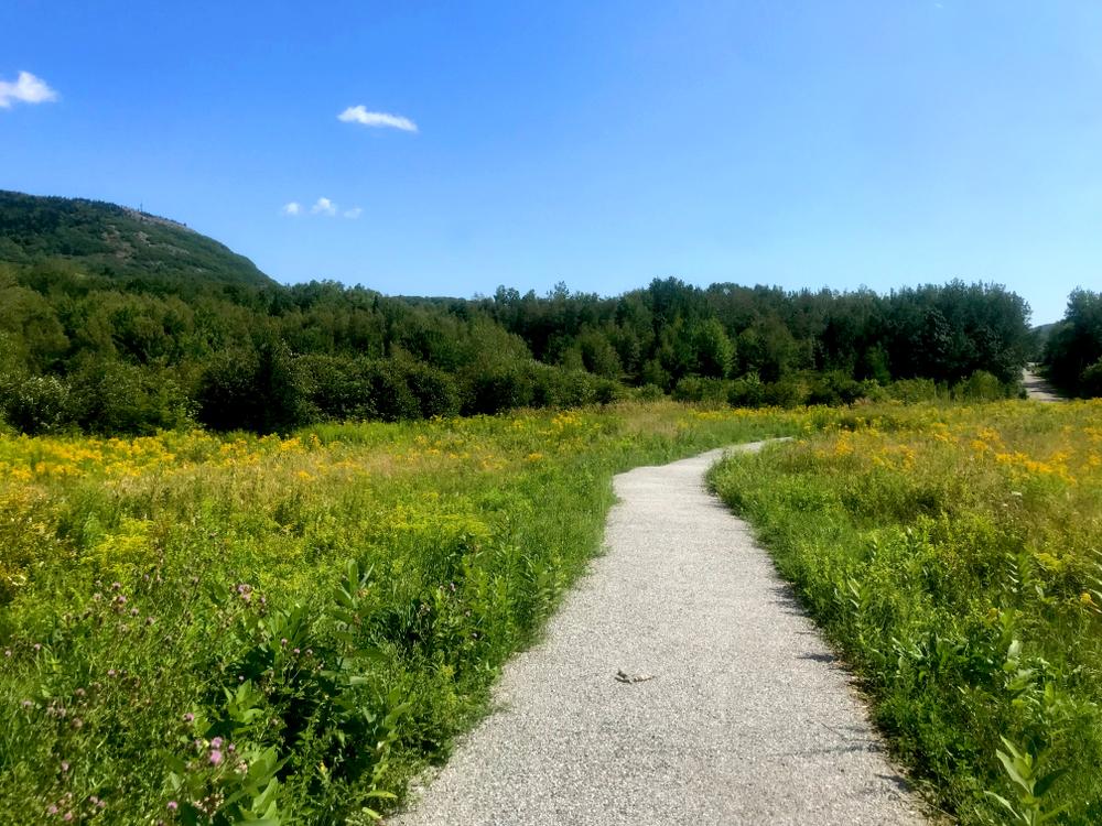
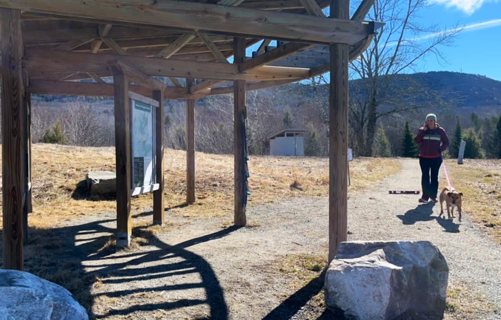
There are two trailheads from which users can access the Round the Mountain Trail: Thorndike Brook and the Camden Snow Bowl. The Thorndike Brook Trailhead at the west end of the trail has a 0.25-mile accessible stone dust trail to the bridge over the brook and is generally less steep and easier than the east end. The Snow Bowl trailhead at the east end is steeper and has a bumpier trail surface, but offers connections to a significant number of mountain bike and running trails.
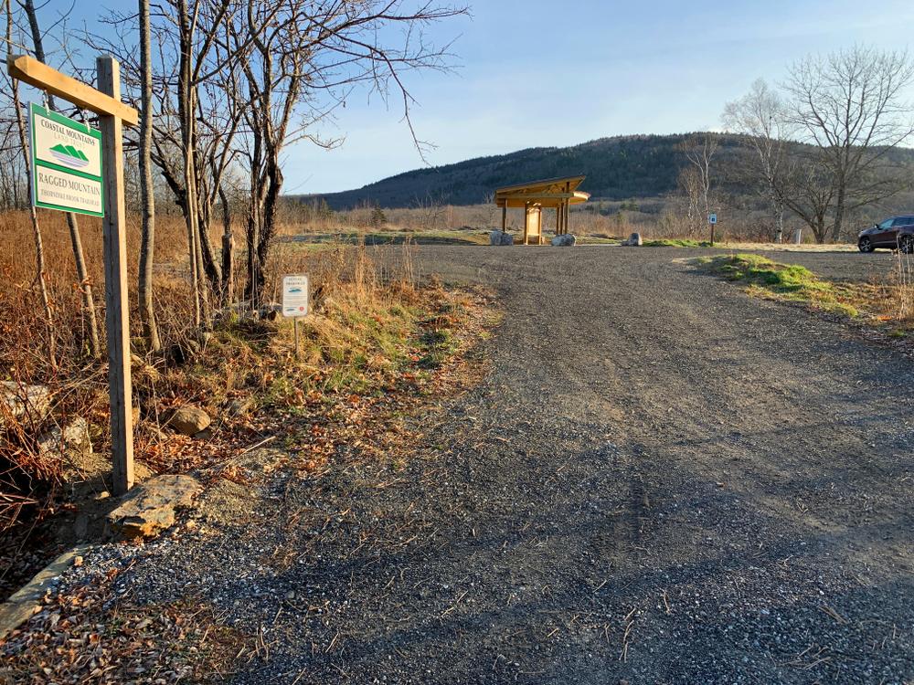
THORNDIKE BROOK TRAILHEAD (223 HOPE STREET)
From ME-17, 8 miles north of Rockland, turn onto Hope Street (a right if heading north on ME-17). Go 0.75 miles at which point you will pass the parking lot for the Georges Highland Path on the right, then continue another 0.2 miles to the parking lot for Thorndike Brook trailhead also on the right. This trailhead offers access to the 0.25-mile accessible portion of the trail.
CAMDEN SNOW BOWL TRAILHEAD (BARNESTOWN ROAD)
From US-1 in downtown Camden, turn onto ME-105 West, and then immediately turn left onto Mechanic Street. Follow Mechanic Street until it turns into Hosmer Pond Road at a fork (stay left). After 0.9 miles continue straight onto Barnestown Road, the Camden Snow Bowl is 0.2 miles farther on the left. Go straight driving into the Snow Bowl to the base of the ski hill and park on the left side of the lot (the toboggan parking). Follow the Round the Mountain Trail signs (utilizing the Kuller Trail for about the first mile).
Note: Google maps does not show either trailheads accurately.
Success! A new password has been emailed to you.