This easy, family-friendly loop includes two distinct sections. One section follows the shore of the Sandy River, with much riverside scenery to enjoy. A loop is made by returning via the railroad tracks.
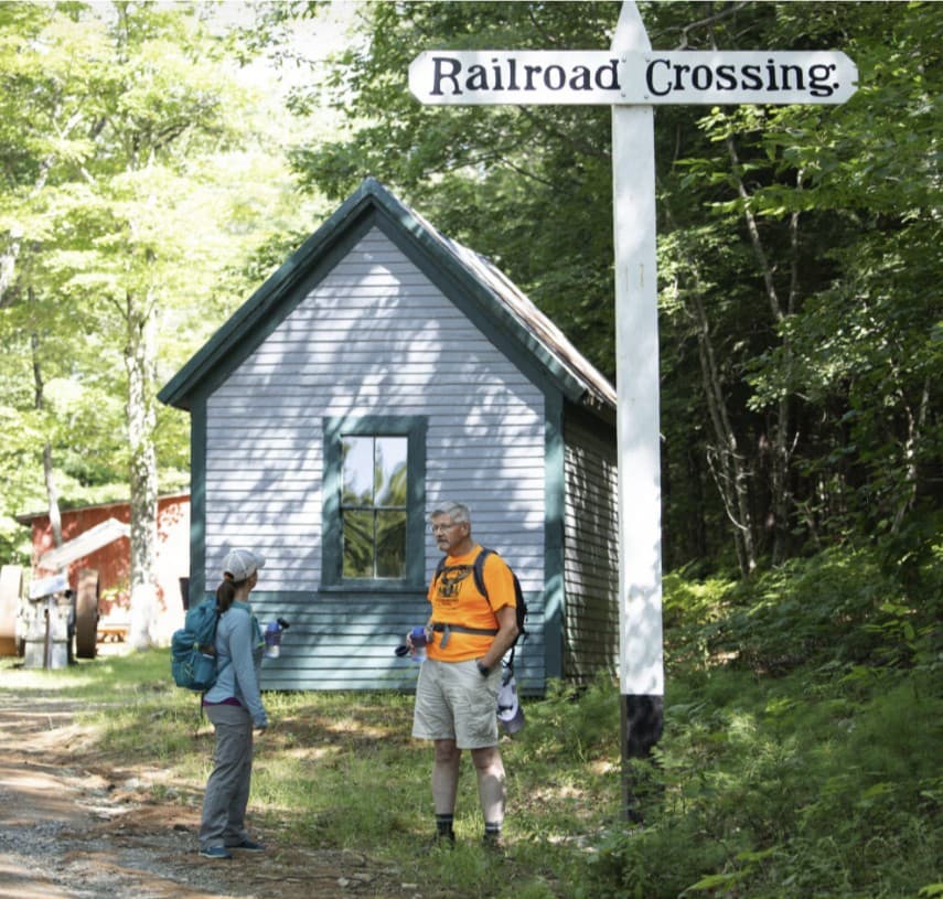
The trail has many interesting features highlighting Maine's narrow gauge railroad history. At the north end of the trail, Sanders Station and the Phillips Freight House, both relocated and restored buildings, now function as a railroad museum. A working replica roundhouse and the restored Phillips Station are at the southern end of the rail. The brick house marking the Amble Street Trailhead was built by Civil War Major Seward Dill, an early promoter and investor in the railroad, and was called Ambleside. Numerous passenger cars, cabooses, and box cars also line the trail.
This is one of three Fly Rod Crosby trails. Named for Cornelia ""Fly Rod" Crosby, these trails span the region she loved, with trailheads at three locations offering a variety of experiences.Hikers can connect to the other Fly Rod Crosy trails at the north end of this trail at Sanders Station.
Visit the High Peaks Alliance online for more information or contact:

Know the Rules and Be Prepared: Research local regulations, including permits and fire restrictions, on sites like Visit Maine. Pack plenty of food, water, and the other Ten Essentials before heading out on your adventure.
AMBLESIDE TRAILHEAD (SOUTH END)
From ME-4 in Phillips, turn onto Pleasant Street. Go 0.5 miles, and at the intersection with ME-149, bear right across a bridge. Take the first left onto Amble Street, and park on the left side of the road where there is space for a couple of cars. There is a sign indicating the start of the trail.
SANDERS STATION TRAILHEAD (NORTH END)
From ME-4 in Phillips, turn onto Pleasant Street. Go 0.5 miles, and at the intersection with ME-149, bear right across a bridge, then contiue straight onto Bridge Street (Bridge Hill). The trailhead is located at the SR&RL Museum on the left about 0.5 miles from the bridge over the Sandy River.
Success! A new password has been emailed to you.