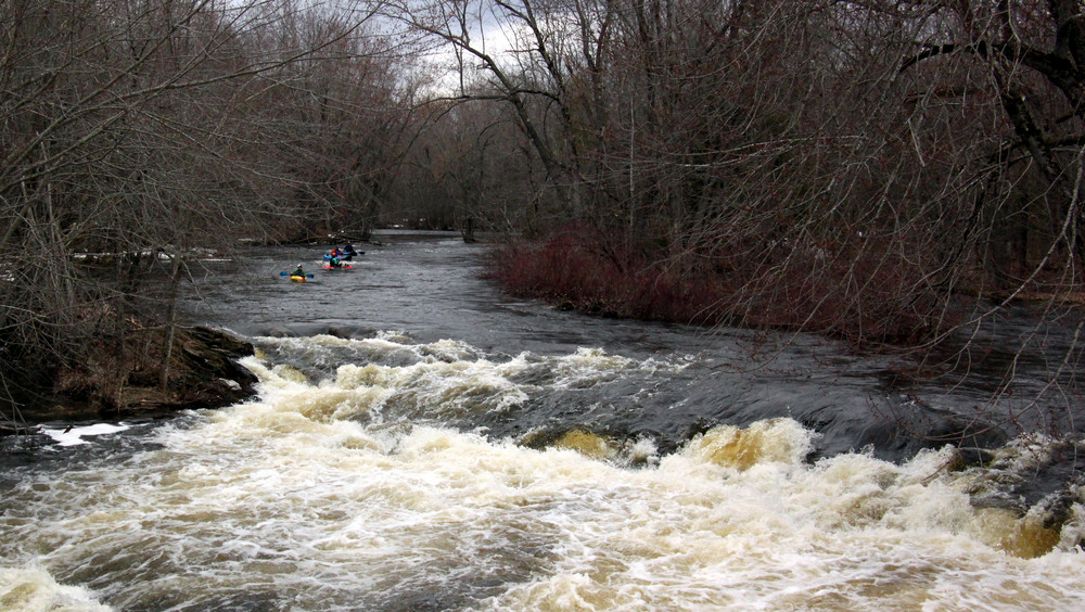
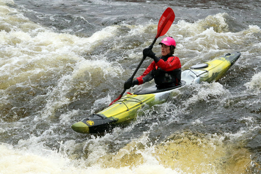
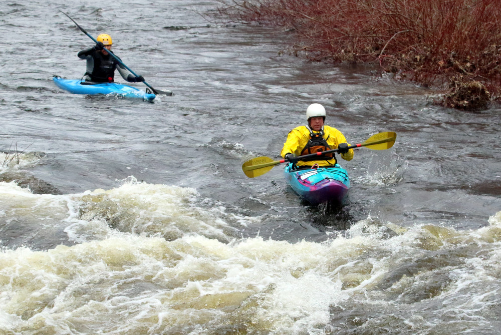
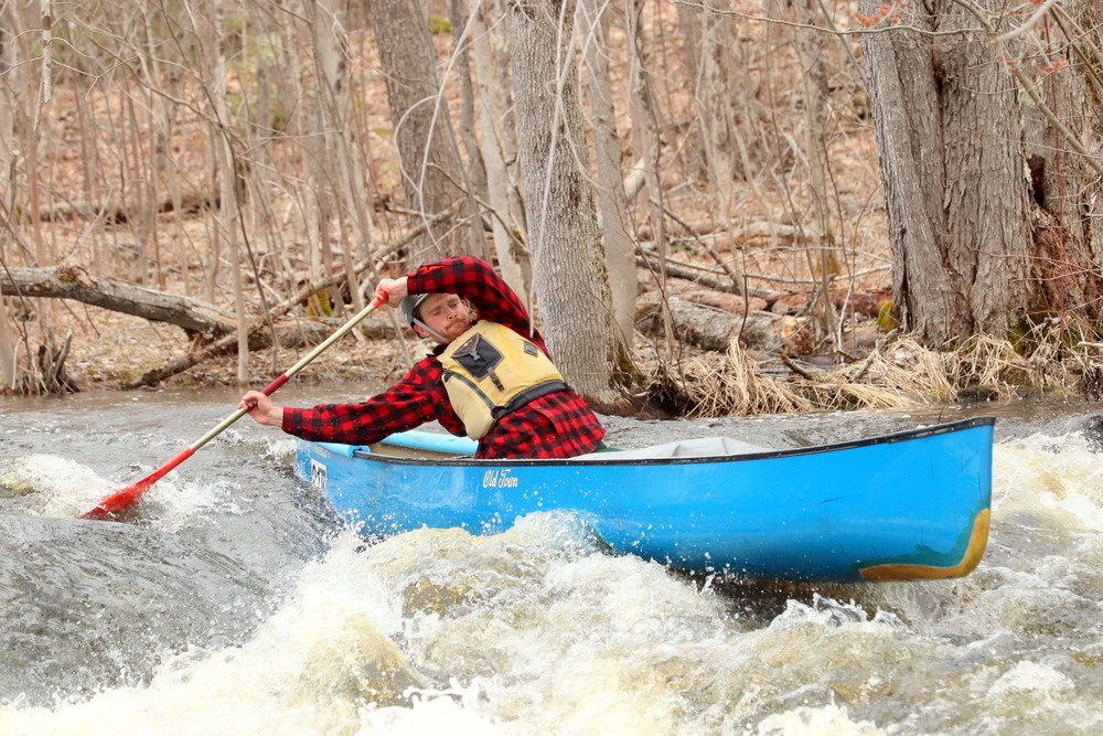
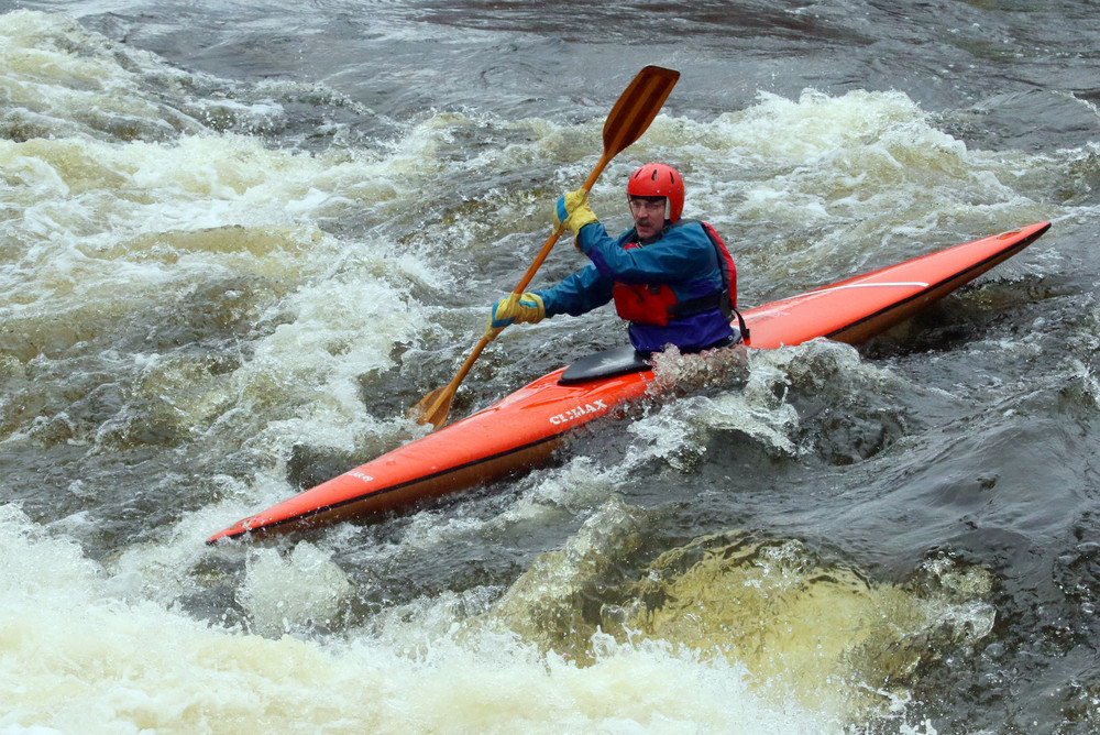
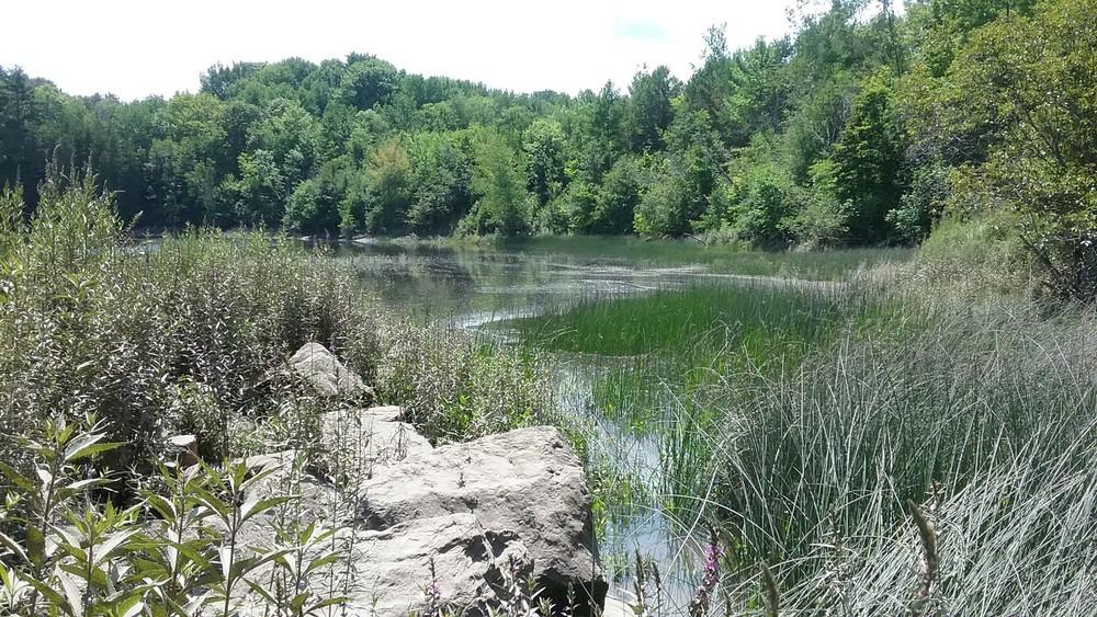
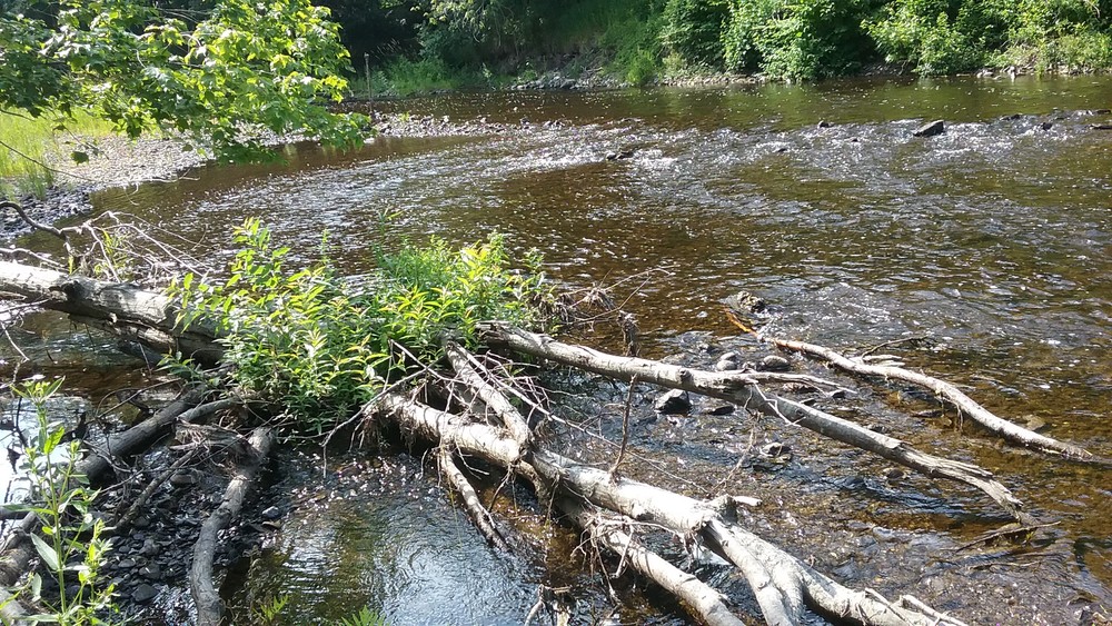
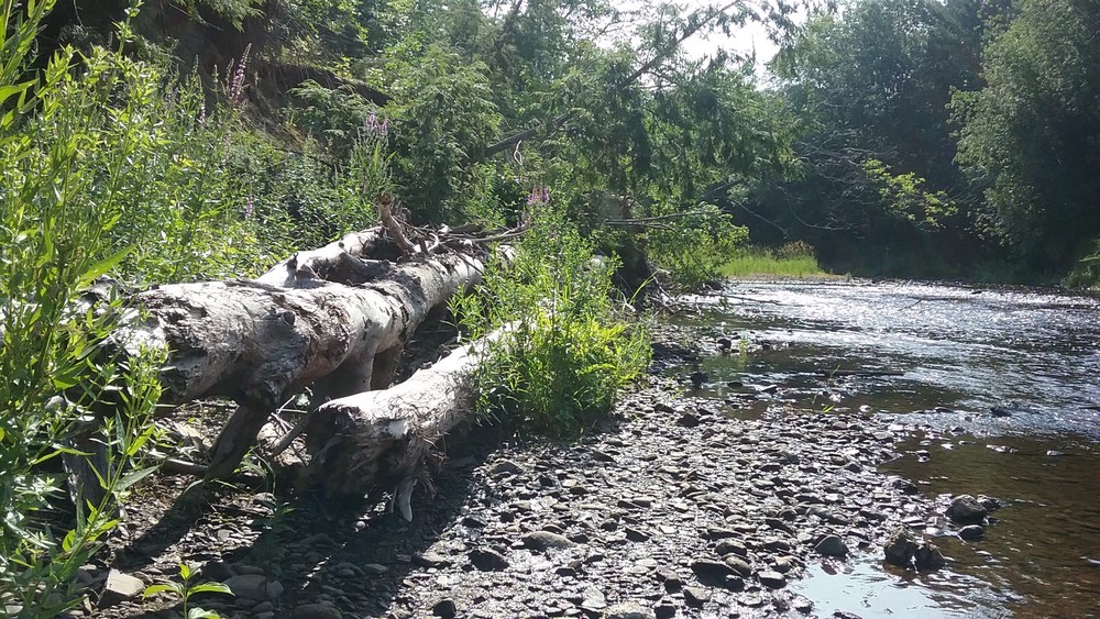
Souadabscook Stream is one of the most challenging whitewater rivers raced in the spring whitewater series in Maine, and the difficulty level varies depending on the flow. Although there are sections of flatwater and Class I whitewater at the start of the race, there are many Class II and III rapids with large waves that make this section of stream suitable for experienced paddlers only. Especially when water temperatures are cold, those paddling the river for the first time should seek to join more experienced paddlers. Even those with experience on the river need to be aware of new blowdowns, which may create strainers at critical places.
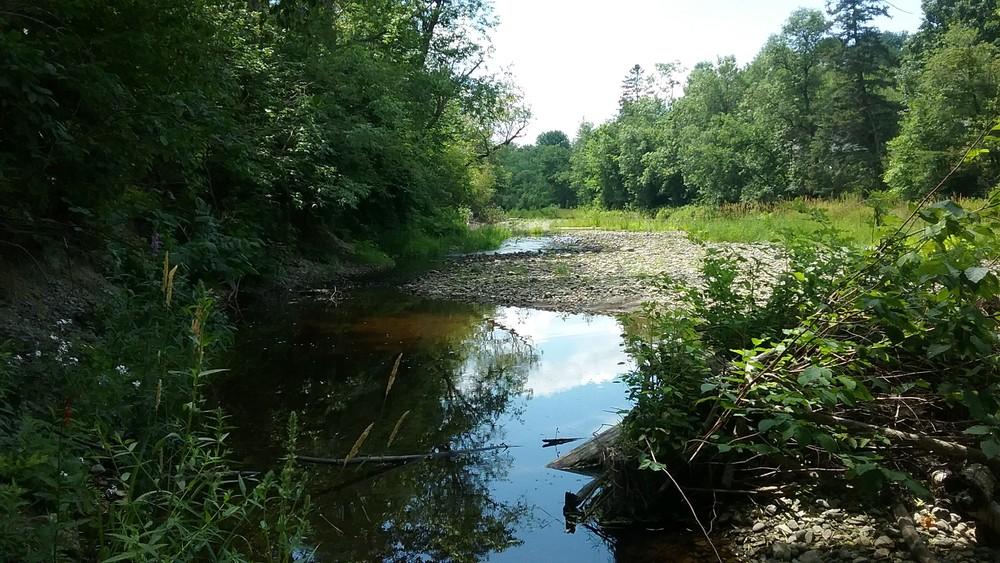
The start line is the Bog Road Bridge and paddlers follow a short flatwater stretch of river, under I-95, before paddling into Hammond Pond. Follow the shore of the pond to exit left back into the stream and then under I-95 twice more. The first 3.4 miles of the course is mainly flatwater with some mild Class I-II whitewater. Some racers will opt to paddle through the woods at points to cut off the sweeping turns of the river. At the Manning Mill Bridge (Devil's Bridge) are Class II-III rapids that mark the beginning of the more challenging portion of the race.
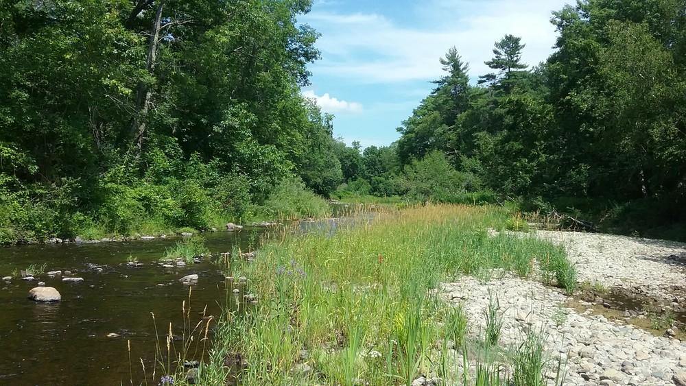
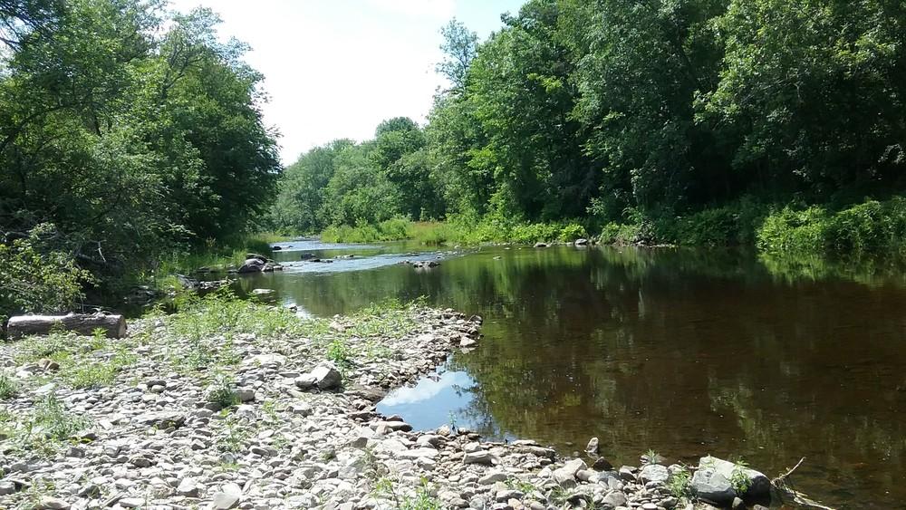
From this point, the rapids that follow are Boy Scout (Class II), Emerson Mill (Class III), Great Expectations (Class II), The Crawfords (Class III), and Paper Mill (Class II). At 5.1 miles into the race, there is a mandatory 0.25-mile portage on river left around Grand Falls (Class IV) and Rec Center (Class III). Put in to finish the last 1.9 miles of the race, where the river meanders to Cement Plant (Class II) and then under US-202. The finish line is marked by the time keepers who will be sitting on the right bank just before the take-out on river right. DO NOT PROCEED DOWN RIVER (Class V Rapid)!
Description of Rapids
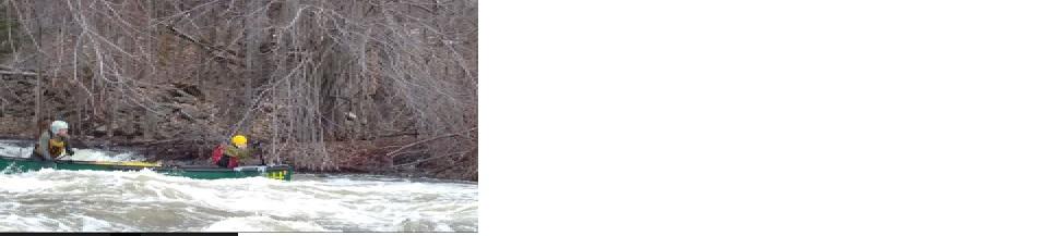
Manning Mill (Class II-III), mile 3.4: A series of turns and easier rapids precedes the main drop just above the bridge. Most paddlers will take the left lines. As you approach the bridge, you will choose a left or right line to run the drop. At higher flows these waves can be large. The left side should be run on the left shore. A wave train leads to the bridge. Take care to miss the center abutment. More Class I-II rapids and quick water take you the next 0.4 mile to Boy Scout.
Boy Scout (aka Camp Prentiss now called YMCA) (Class II), mile 3.8: River bends to right for this ledge drop, kayakers can stay right of center and open boats may prefer river left. Stay only 5-10 feet from shore sliding over the ledge. The center line requires a distinct left to right angle. Stay left of the island just below this drop.
Emerson Mill (Class III), mile 4.1: Just before Emerson Mill Road bridge is the next ledge drop. Kayakers and some open boats can follow the tongue at center right, driving right. Most open boaters may prefer river left very close to shore. Two hundred yards below the bridge are more waves capable of swamping open boats. Skirt these haystacks by carefully paddling along the left shore eddy.
Great Expectations (Class II), mile 4.5: After the rail bridge, the river turns right to this easy-to-read pool drop. A left to right angle works well here to avoid the large waves on the left.
The Crawford’s (Class III), mile 4.6: This is the most challenging rapid on this course. After Great Expectations and a 150-yard flatwater pool the gradient increases and the current quickens. The first 200 yards is easy to read Class II whitewater. The stream then turns 90 degrees to the left toward the hardest part of the rapid. The most popular line is on the left. Approach the ledge drop by lining up close to the ledge outcropping on the left shore. When you get to the outcropping, follow the current abruptly left and then a quick right down and over the ledge. Be prepared for more quick maneuvering as several more ledges, shallows, and waves await before this rapid is done with you. More maneuverable paddlers/craft may choose to run the drop along the far right shore: another s-turn move.
Paper Mill (Class II), mile 5.0: This rapid is at the bridge on the Papermill Road, with a clear line and a wave after the bridge. The driest line is on the right. Approach right next to the right bridge abutment and thread the narrow line between the right shore eddy and the center waves and holes. Look for the portage around Grand Falls just downstream on river left. Take care not to descend to Grand Falls, an abrupt ten foot falls. This drop is for experienced decked boats only. Reenter the stream by carrying along the road up the hill and down 300 yards, then turn right into the park to the trail leading back to the water.
Cement Plant (Class II), mile 6.3: This pair of drops is separated by 50 yards and identified by a snowmobile bridge over the first drop. The size of waves in this train can be significant depending on the water level. Open boats should take care not to swamp. The dry line for both drops is to stay close to the left shore and thread the narrow line between the left shore eddy and the center waves.
‘S-Turn’ (Class II), mile 6.5: The last significant whitewater on the course is just a few hundred yards downstream. The main stem turns left abruptly around an island. A narrow, steep, right channel is not suitable for most boats. Follow the current to the left. This set of two ledges can be run on the left shore, the center, or on the right close to the island. At lower flows, beware of the rocks and ledges in the center. Some left to right paddling works well here.
Flow information: There is no river gage on the Souadabscook, but the flow of nearby Kenduskeag Stream can be a good indicator. Generally if the Kenduskeag Gage height is above 5 feet, the Souadabscook has enough water to paddle.
The Souadabscook Stream Race is the third race in the spring whitewater river race season in Maine. Helmets are required. In addition to this 7.3-mile race course, shorter courses are also available on race day.
In 2017, this race was dedicated to Eliot Lamb, who was an avid paddler and whitewater racer. Eliot was enthusiastic about his love and knowledge of the outdoors, and always eager to share it with others. As a Registered Maine Guide, he was passionate about getting children involved in outdoor recreation and activities while preserving them for future generations. This race with course options for children, novice paddlers, and whitewater enthusiasts helps to preserve Eliot's dreams.
Information on this paddling route is provided by the Maine Canoe & Kayak Racing Organization (MaCKRO). MaCKRO promotes paddling & racing for paddlers of all ages and abilities throughout Maine and New England. Join MaCKRO to help expand the sport of racing canoes, kayaks, and SUPs.

Adhere to Land Manager Recommendations: In some places, packing out all solid human waste using a WAG Bag is the best way to reduce soil and waterway contamination. Be sure to know the regulations before your adventure.
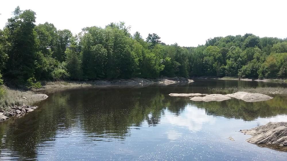
This section of the Souadabscook Stream begins on Bog Road in Hermon and ends at the Hampden Water District, just above Hell's Gate/Waterworks (Class V).
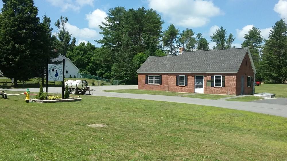
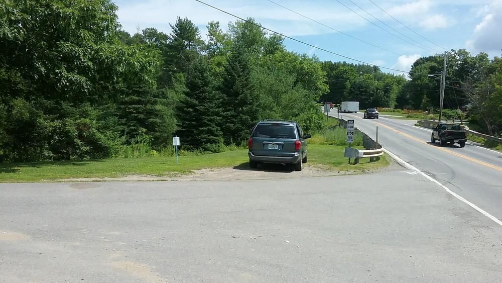
The put-in (and race registration) is at approximately 270 Bog Road. Park in the gravel area between the boat launch and the old building, and launch on river right. The take-out is at the Hampden Water District on river right and parking is available in the district lot. To shuttle from here, take the Coldbrook Road (just across the river) north across US-202 and over I-95; turn left onto US-2 and then quick left onto Bog Road in Hermon; follow until you cross the stream.
Alternate put-in to paddle whitewater section: Manning Mill Bridge off of Emerson Mill Road.
Success! A new password has been emailed to you.