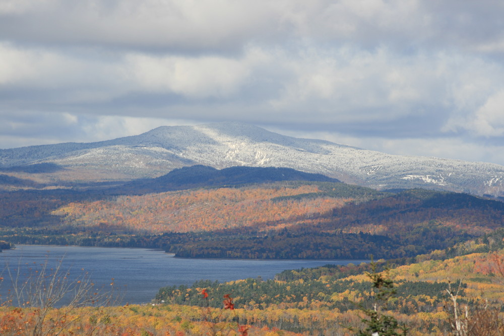
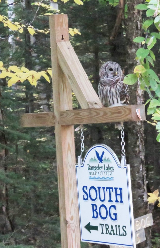
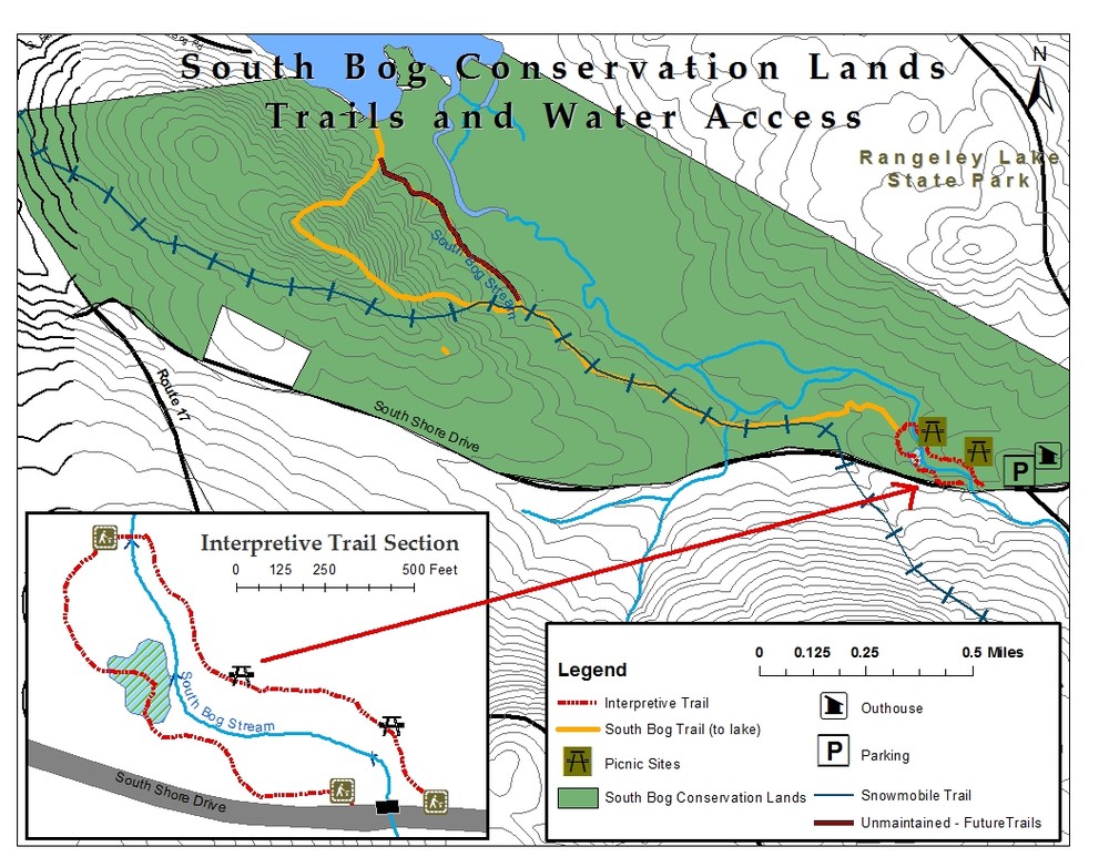
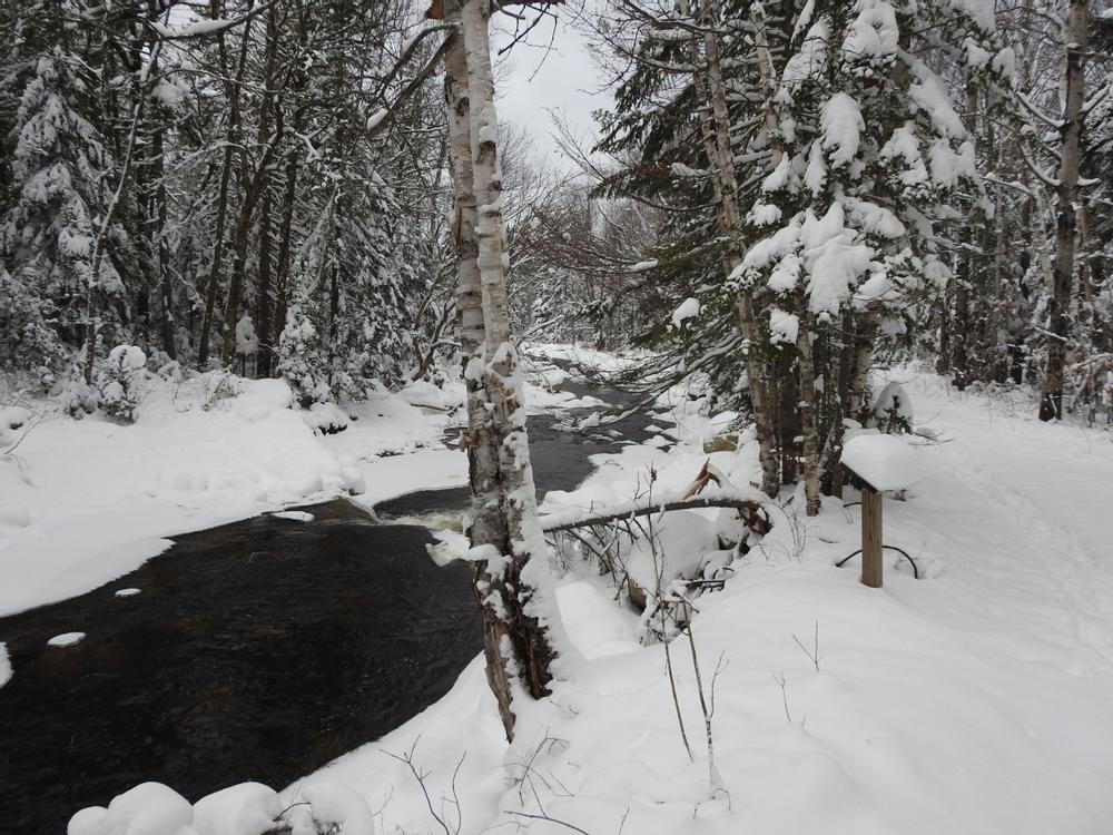
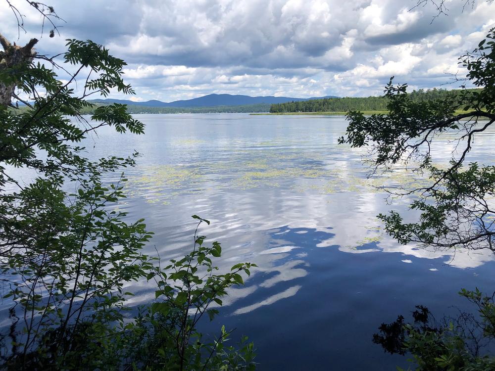
The trails on the 1000-acre South Bog Conservation Area offer two unique trail experiences; a short interpretive trail highlighting the conservation area’s rich natural resources and a stream restoration effort and a longer extension to a hand-carry boat launch on Rangeley Lake. The interpretive trail leaves from the parking area and follows the eastern side of the South Bog Stream to a stream restoration project completed by the Maine Department of Inland Fisheries and Wildlife. It then crosses the stream (no bridge) and follows the western shore of the stream back to the road where it is only a short walk back to the parking lot. The longer extension leaves from the western side of the stream just after the stream crossing and goes approximately 2 miles to a picnic area along the shores of Rangeley Lake. Returning to the interpretive trail and parking area there is a side loop that can offer an expanded experience. Along both the main extension trail and the loop trail there are ledge outcrops that offer expansive views of Rangeley Lake.
This area is also occasionally logged as part of an effort to keep the tradition of this land as a working forest, so users should watch out for signs of trail re-routes indicating active logging. Additional information and a map of the property may be found on RLHT's website.
Visit Rangeley Lakes Heritage Trust online for more information or contact:
![]()
Yield to Others on Trails: Uphill hikers, equestrians, and working vehicles or equipment have the right of way.
From East: South Shore Drive’s intersection with ME Route 4 3.5 miles south of the intersection of ME Route 4 and 16 in downtown Rangeley. Take South Shore Drive west for 5.3 miles. Parking will be on the right just before the South Bog Stream Bridge.
From West: South Shore Drive’s intersection with ME Route 17 is 3.6 miles south of the intersection of ME Routes 4 and 17 in Oquossoc Village. Take South Shore Drive east for 2 miles. Parking will be on left just after South Bog Stream Bridge.
Success! A new password has been emailed to you.