Speck Pond Trail

This trail provides access to the Appalachian Trail at Speck Pond and Speck Pond Campsite between Old Speck and the Mahoosuc Arm. The May Cutoff Trail provides another access point to the Appalachian Trail and to the Mahoosuc Arm peak.
Trail Activity
Hiking
Length
7.20 miles, Round Trip
Difficulty
Advanced
Town
Grafton Twp
Surface
Dirt/Forest Floor, Rock/Ledge
Pets
Permitted
Fees
No

Description

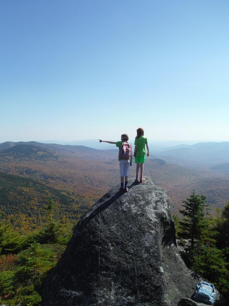
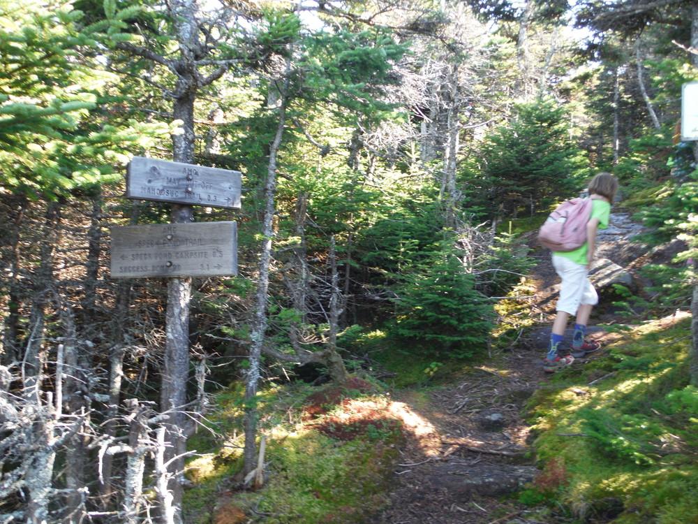
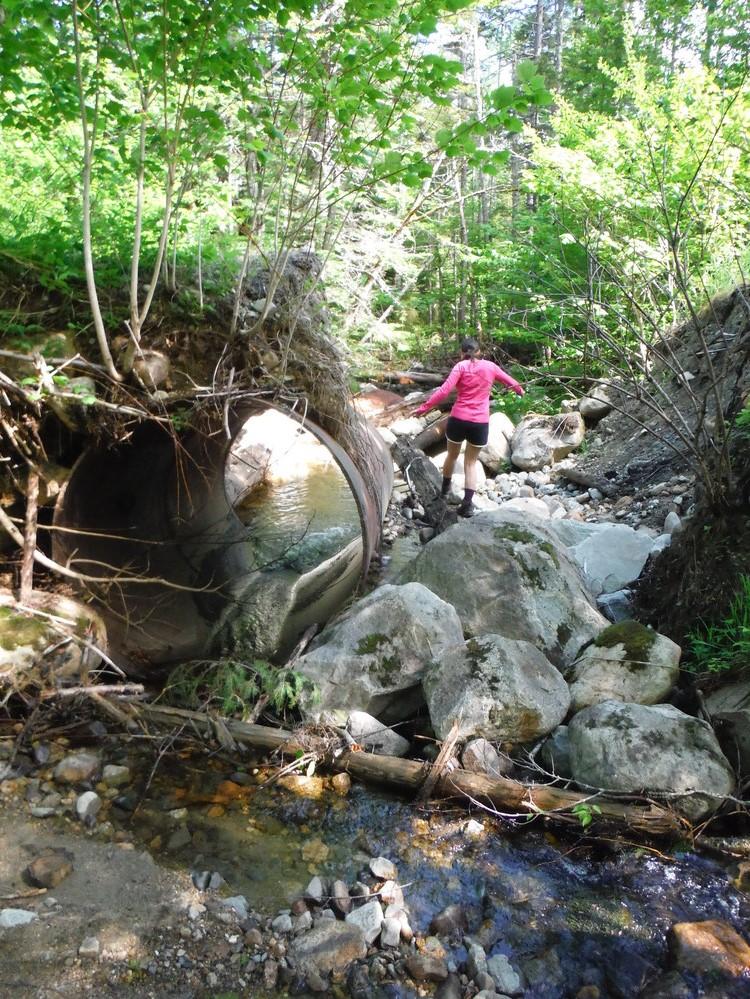
Speck Pond Trail heads east leaving North Road to follow the northern side of a small brook. After a mile and half, the trail turns north and begins to climb steeply to Speck Pond and the Appalachian Trail, climbing 2,000 feet in 3.1 miles. Before the reaching Speck Pond the May Cutoff leaves the Speck Pond Trail on the right (south) to connect to the AT. The Speck Pond Trail continues straight here to approach Speck Pond and the Speck Pond Campsite from the west providing a nice overlook of the pond along the way. The Speck Pond Campsite is located where the Speck Pond Trail joins the Appalachian Trail on the north side of the pond.

May Cutoff (0.3 miles, moderate): This short trail provides a shortcut to the Appalachian Trail from the Speck Pond Trail crossing over the summit of Mahoosuc Arm and option to approach Speck Pond and the campsite from the AT.

View BPL's map and guide for Grafton Notch State Park and Mahoosuc Public Lands.

Other Information

This trail is partially within the 9,993-acre Mahoosuc Ecological Reserve, which, like all Maine state Ecological Reserves, is specifically set aside to protect and monitor natural ecosystems. Find out more by checking out the Maine Natural Areas Program's Ecoreserve Fact Sheet for Mahoosuc Unit.

Trail Manager

Visit Maine Bureau of Parks and Lands and Appalachian Mountain Club online for more information and a printable map or contact:

Appalachian Mountain Club, Pinkham Notch Visitor Center

Appalachian Mountain Club, Pinkham Notch Visitor Center
361 Route 16
PO Box 298
Gorham, NH 03581
Phone: (603) 466-2721
View website

Maine Bureau of Parks and Lands, Western Public Lands Office

Maine Bureau of Parks and Lands, Western Public Lands Office
PO Box 327
Farmington, Maine 04938
Phone: (207) 778-8231
Tim.Post@maine.gov
View website

Nearby Events

VIEW EVENTS CALENDAR

Trail Tips

Respect Wildlife
Keep your pets under control at all times, to protect both them and wild animals, fragile environments, and the enjoyment of other visitors.
Legend
Hide All

Trailhead Information

IMPORTANT: Access to this trailhead is notoriously hard to navigate because of unmarked logging roads that can be difficult or impossible to navigate or pass. Experience on back roads, your vehicle, and the time of year may dictate whether you will be able to access the trailhead. Expect to have some trial and error when navigating these roads and please exercise good judgment and common sense.

From West: Follow US-2 into New Hampshire and take NH-16 north at its intersection with US-2 in Gorham. Continue on NH-16 for 4.5 miles towards Berlin and then bear right on Unity Street to cross the Androscoggin River on the Cleveland Bridge. Unity Street will continue straight through a set of traffic lights and then bear sharply right and becomes Hutchins Street. Follow Hutchins Street (bearing left in several places) another mile to where Success Pond Road leaves Hutchins Street on the right (eastern) side of the road. Follow Success Pond Road 12.2 miles to the Trailhead being sure to take the right fork of the road at 11.4 miles onto North Road, where the main road continues left (it is only 0.8 miles to the trailhead from this point). The trailhead is at the intersection of a logging road and is marked by blue blazes and a low sign post.

From North: Turn onto North Pond Road off of ME-26, 16.9 miles north of the ME-26/US-2 intersection in Newry on the left, or 5.1 miles south of the ME/NH border on the right. From ME-26, follow the North Pond Road south for approximately 10 miles. The trailhead and parking are just south of where Four Corners Road heads west; this is a useful landmark as the sign marking the trailhead faces south and is hidden by vegetation when traveling from the north.

Note: The traditional access from ME-26 north of the Appalachian Trail crossing via York Pond Road is permanently blocked.

Click on a parking icon to get custom directions
Please Log In or Create Account to add comments.
joellecw
November 18, 2019
The culvert has been replaced and the North Rd from Rt 26 is open to this, Goose/Carlo and Notch Trails. Been ATVing over it for several months. Just drove over it 2 weeks ago.
dalyj
June 20, 2018
JUNE 19, 2018: NO ROAD ACCESS TO TRAILHEAD FROM NORTH. There is a significant culvert washout at 7.3 miles south from Route 26. Between this point and the trailhead, there are two more culverts blown out, and the stream crossing immediately south of the trailhead is also washed out and not passable by car/truck. There has been some ATV travel around these washouts. We parked at the north end and walked to the trailhead (~2.3 miles), it would also be possible on a mountain bike.
dalyj
June 04, 2018
It is well worth taking the May cutoff to the AT and approaching Speck Pond this way. The views from the cutoff and the AT are spectacular. This trail is a steady climb with some steep sections (and a ladder) just before the junction with the cutoff, but feasible for hiking-inclined kids.
dalyj
July 14, 2016
To reach this trailhead from the north (Rt 26), follow the North Pond Road south for approximately 10 miles. The trailhead and parking are just south of where Four Corners Rd heads west; this is a useful landmark as the sign marking the trailhead faces south and is hidden by vegetation when traveling from the north.
bigeloafah
September 02, 2015
About coming at the other way: Speck Pond from Old Speck summit... We thought we'd tack on Speck Pond after a fine hike to Old Speck from the Route 26 side. Adding the pond represented a further 2.2 round-trip, but we had plenty of daylight and figured, "How often are we here? Let's do it!" Hoo boy... It was more of an exertion than it looks like on the map: steep-ish descent with ledgy stretches that would be dicey in fog or when wet. Descent took us maybe 50 minutes. No views of the pond until you're almost upon it, but once there, fine bracing-cold swimming even in late August in a remote setting (give or take the AT shelter and outhouse). The swim was good for the spirits and the trek back up to the intersection where the spur to Old Speck summit meets the Old Speck trail for the descent to Route 26.
mainetrailfinder
July 15, 2015
Thanks thealexcalibur for the information about the York Pond Road closure. This closure was verified with the trail managers and the posting has been updated.
thealexcalibur
July 10, 2015
Tried to do this hike today, navigating to the trail head from the east. YORK POND ROAD WAS CLOSED BY BOULDERS. Apparently there is another way in via North Pond Road, but we didn't know about it so ended up taking the Old Speck trail up (AT). Beautiful views between Old Speck and Speck Pond but a bit farther than we had bargained for!
These awesome businesses support our goal of connecting people to outdoor adventures in Maine!
Hang Tight!
Nearby services are loading
No Results
No Services Found
SHARE THIS TRAIL

Add Trail Log

Please wait…
Join In on the Fun!
Log in or create an account below to unlock all the great features of Maine trail finder: keep track of trails you want to do, preserve memories of trails you’ve done, earn badges, and more!
Your log in attempt was not successful. Please try again.
    Lost your password? Reset your password
    Don't yet have an account?
    There was an issue with your submission. Please try again.
      * Indicates required field
      Already have an account? Login here
      Enter your username, and we will send you a new, randomly generated password to your email account.
      There was an issue with your submission. Please try again.

        Success! A new password has been emailed to you.

        Log in now

        Please wait…