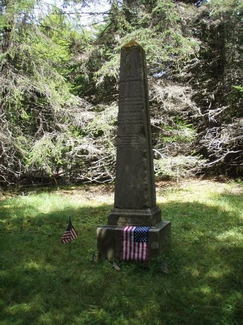
A loop trail leads through spruce woods to an old gravesite, down a cut for the international boundary markers, past the 1863 battery, and back through open fields to the kiosk. A cross-island trail that meanders through the woods to the north end of the island can be accessed halfway down the hill from the boundary marker.
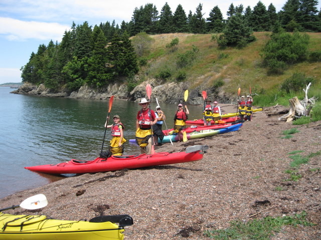
Most visitors to Treat Island are drawn to the beaches and meadows on its southern side. The beaches offer relatively easy landing areas for kayaks and small boats, while the meadows provide good vantage points to view resident wildlife, such as white-tailed deer, bald eagles, and northern harriers.
The U.S. Fish & Wildlife Service has designated Treat a nationally significant coastal nesting island, and Maine Department of Inland Fisheries and Wildlife records indicate that a pair of bald eagles nested consistently on Treat for more than two decades. State wildlife biologists have seen up to 30 eagles at a time roosting on the island, and visitors have reported sightings of two Maine species of “special concern,” long-eared owls and northern harriers.
Recorded history on Treat Island dates back to 1784, with the establishment of a trading post by Revolutionary War Colonel John Allan. In the 1840s, the island became part of the region’s fish canning industry under the ownership of Upham Stowers Treat. During the US Civil War in the 1860s, an artillery battery and barracks were built to guard the Western Passage of Passamaquoddy Bay. By 1935, the US Government had acquired Treat Island in preparation for the development of the Passamaquoddy Tidal Power Project. The project was discontinued after only a year, but during that time a clay-cored, rock-filled dam was constructed between Treat and Dudley Islands. Today, the International Boundary Commission maintains range marks on the island, and the Army Corps of Engineers operates a marine concrete testing station on 3 acres on the island’s northwest side.
Preserve information/guidelines:
Visit Maine Coast Heritage Trust online for more information or contact:

Use Water to Drown Your Fire: Fully extinguish fires with water before you leave.
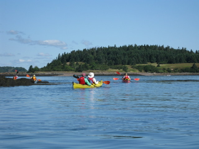
Treat Island is only accessible by private boat. Public launch sites are available in Eastport, Lubec, and Pembroke, which offer all-tide access for hand-carry and motor boats. Small boats can land easily on the island’s southern shore on either side of the dike between Treat and Dudley Islands. There are good landing beaches on the southern portion of the island. From either landing beach, follow the mown path to the central kiosk.
Caution: Despite close proximity to both Lubec and Eastport, be aware of extreme tides and strong tidal currents, as well as quickly changing weather when boating in Passamaquoddy or Cobscook Bay.
Success! A new password has been emailed to you.