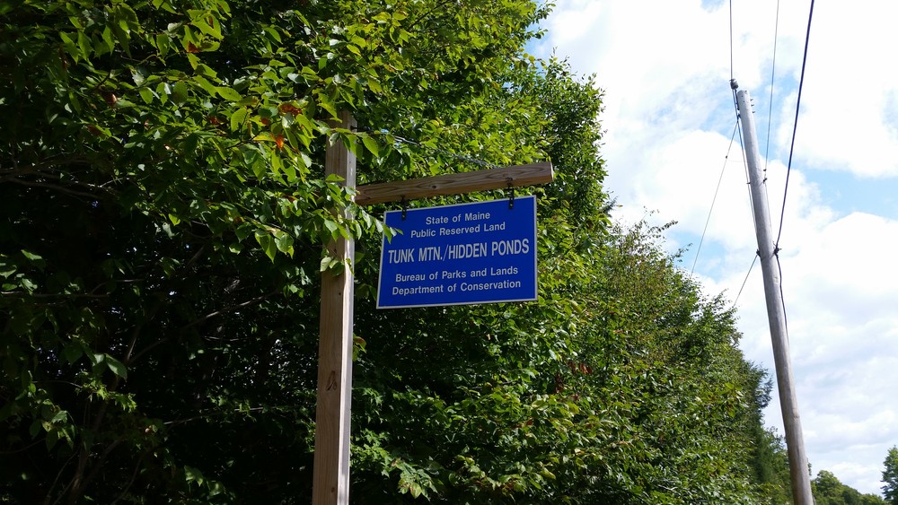
Lying north of the Blackwoods Scenic Byway (ME Route 182) in T10 SD (an Unorganized Township), Tunk Mountain and the forests and waters in its shadows await those interested in unique natural areas, scenic views, remote fishing, and classic Maine hiking.
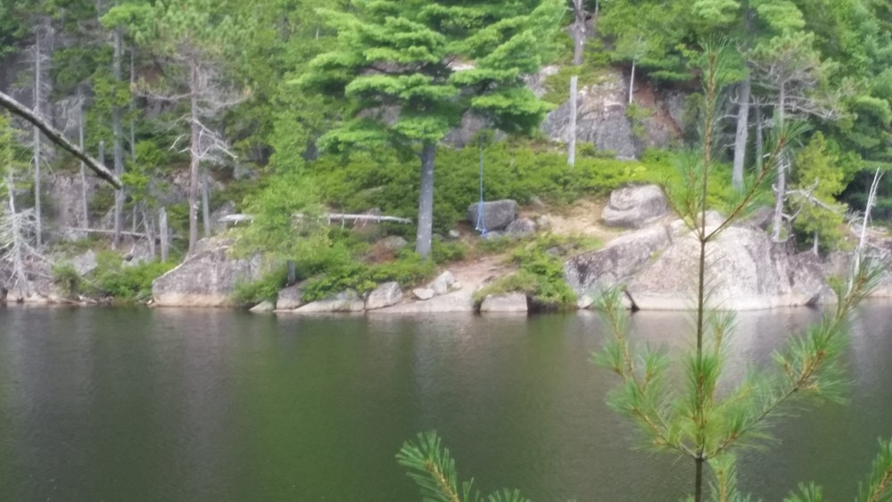
Starting at the rear of a new, large parking area, the hiking trail enters a mixed forest and shortly reaches a wet forested area where a series of bog-bridges winds through softwood stands. After crossing a small, clear tributary stream of Spring River Lake, the trail becomes rockier with minor ups and downs. Look for frequent large boulders deposited by former glaciers.
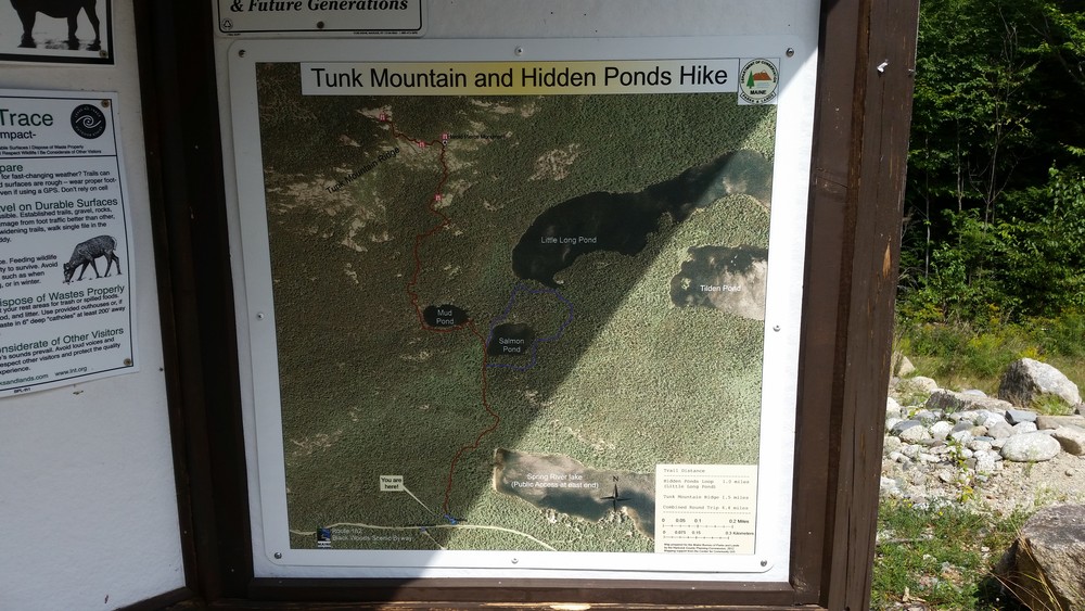
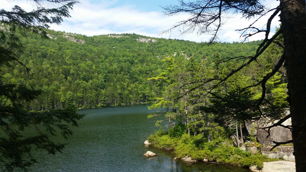
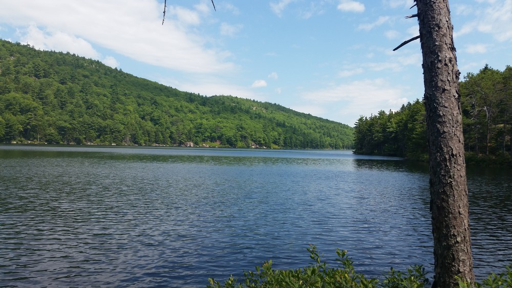
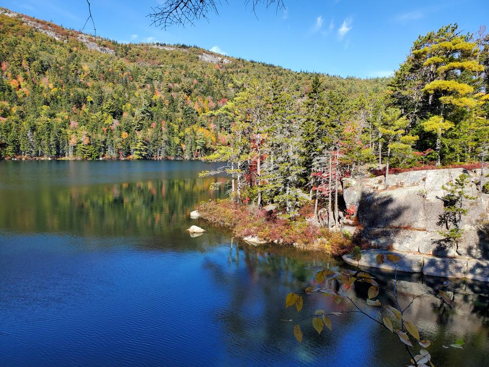
At 0.5 miles, the main Tunk Mountain Trail is joined by the south end of the 1.0 mile Hidden Ponds Loop Trail. From this junction, the Hidden Ponds Trail heads roughly east and rises gently before turning down towards the south shore of Salmon Pond. After passing pond views filtered through mature spruce, the trail passes through a low, rocky and wet area before reaching an attractive shelf overlooking the western end of Little Long Pond and the lower slopes of Tunk Mountain. The trail passes nearby Little Long Pond's shore before climbing back up along a small and sometime musical stream linking Mud Pond and Little Long Pond. Prior to returning to the Tunk Mountain Trail, the Hidden Ponds Trail winds through another attractive spruce stand on the shore of Salmon Pond.
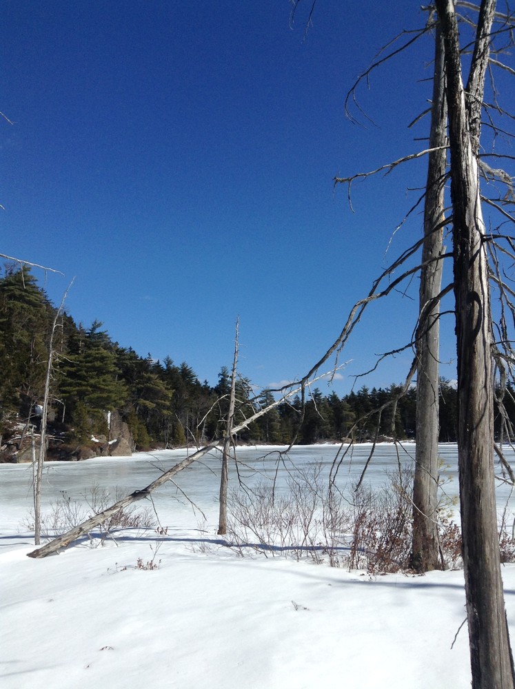
The second (northern) intersection of the Tunk Mountain and Hidden Ponds Trails is only a short walk from the first intersection. Hikers looking to avoid the mountain hiking may choose to walk north on the Tunk Mountain trail a short distance (~0.1 mile) to fishless Mud Pond, a small acidic pond carved into the craggy side of Tunk Mountain. It is approximately 0.6 miles from Mud Pond back to the trailhead parking area.
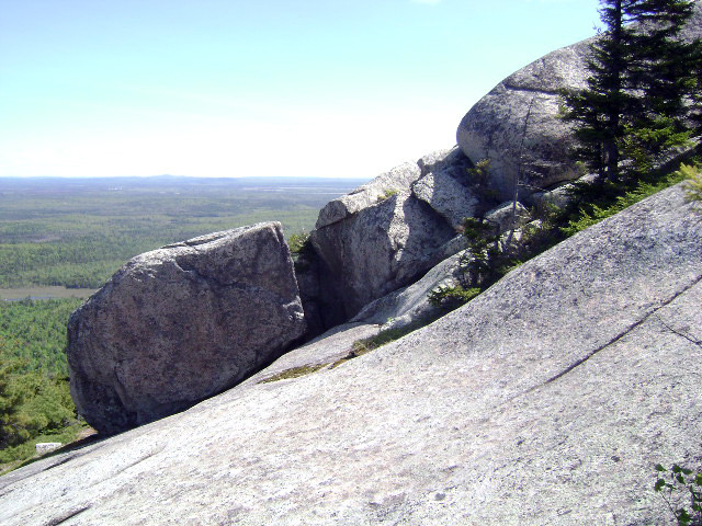
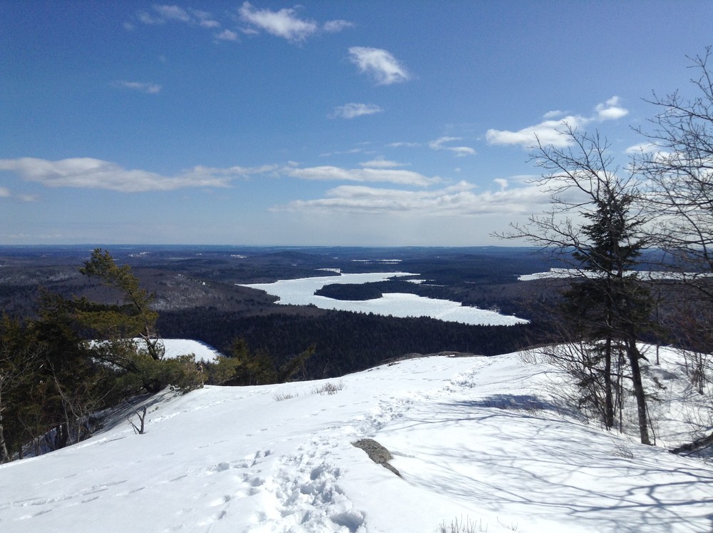
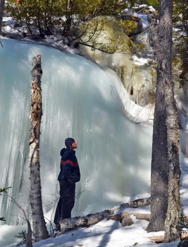
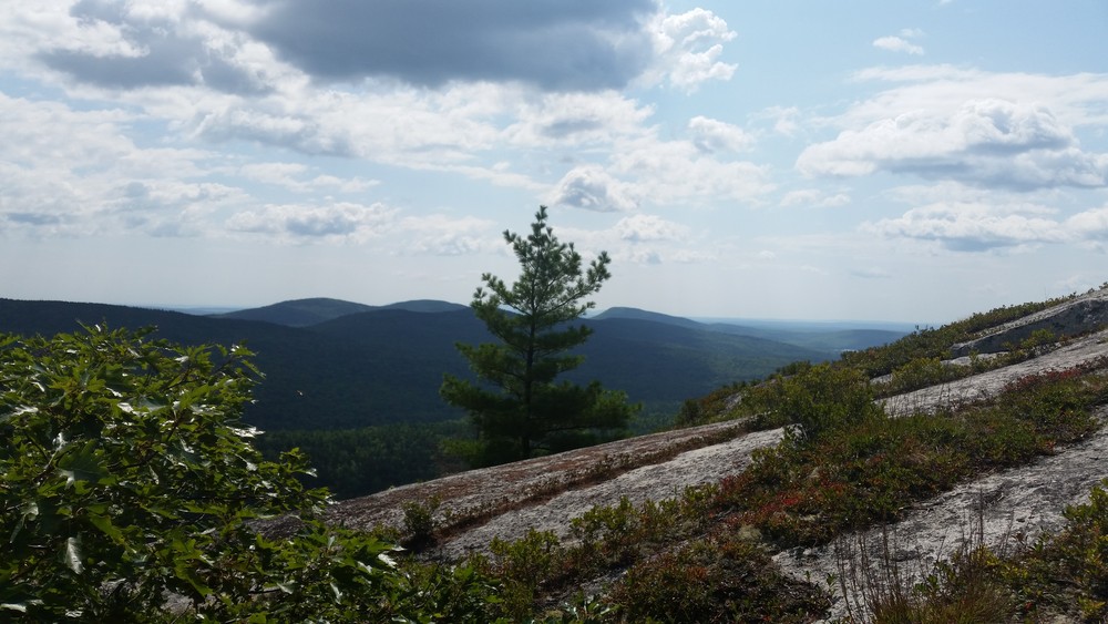
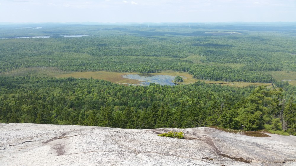
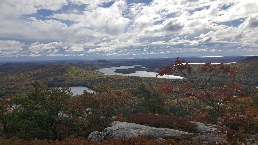
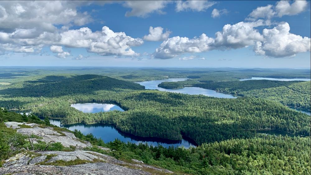
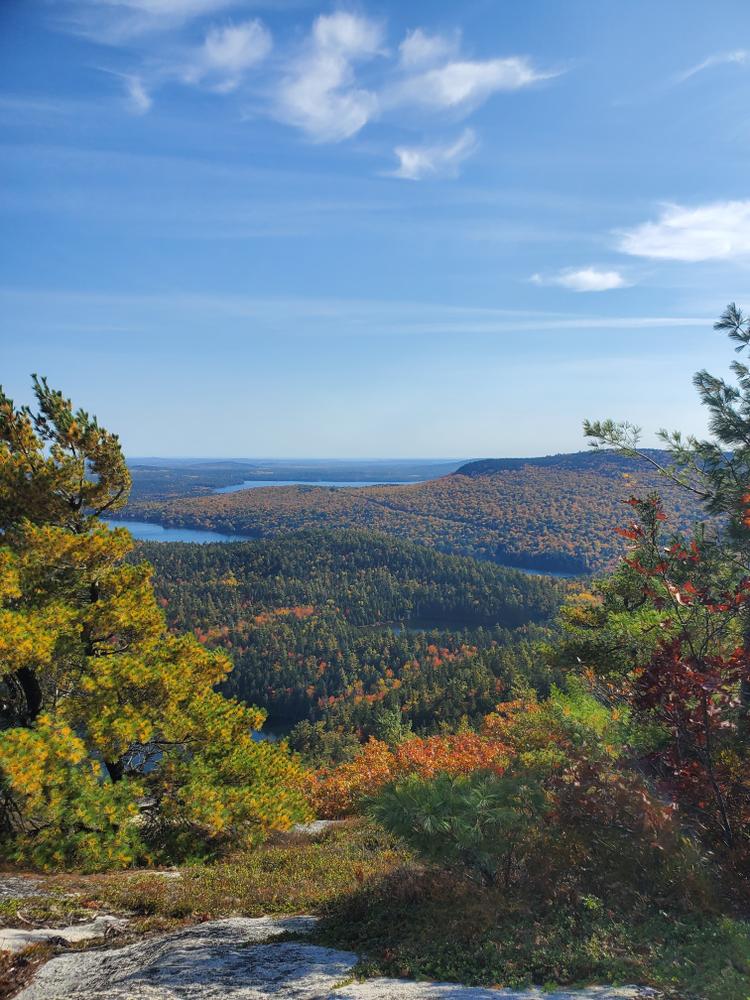
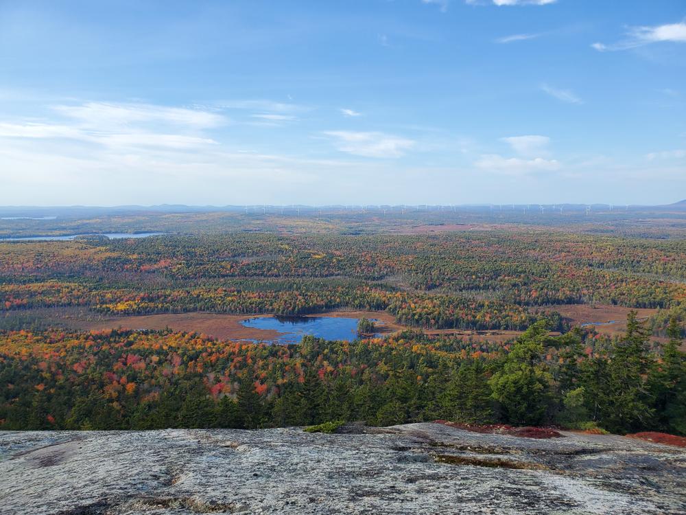
Those going on to climb Tunk Mountain pass Mud Pond and quickly start climbing, steeply at times. The forest becomes predominantly softwood at and above Mud Pond. A small mountain stream is crossed and the trail slabs up a series of rises. Filtered views grow as one climbs. At 1.3 miles from the trailhead, a wide vista opens up on a set of treeless ledges. This vista point provides a compelling view of the ponds below, the hills beyond, and a portion of the downeast coastline.
Above the first vista described above, the trail moves through a short wet section before climbing steeply 0.3 miles to a vista near the crest of the long, relatively flat summit ridge. In poor weather, it is advised that hikers end their hike at the first vista point due to the steepness, exposure, and potentially slick conditions on the trail's upper sections. Two iron rungs aid hikers in one section of the upper section. Beyond the second vista point (near a conservation monument), the trail continues another 0.2 miles across open ledges to a north facing vista.
In total, the Tunk Mountain Trail is 1.8 miles, one-way.
The majority of trail described here runs through a 6,215-acre ecological reserve designated to protect and study the unique natural areas and plants found on and near Tunk Mountain. Find out more about the Tunk Lake Ecological Reserve.
Special thanks goes to the Nature Conservancy; the upper summit area, including a vista northward, is on property owned by the Nature Conservancy.
Stay on trail to minimize damage to plants and soils. Whenever possible, walk on rocks to reduce erosion and to protect sensitive plants. Cairns, constructed piles of rocks, are used to mark trails on open ledges. Do not make your own cairns or construct "rock art", as it detracts from the natural character and rock removal from the soil may cause soil erosion.
Water-access campsites are found on Donnell Pond, the southern end of Tunk Lake, and Spring River Lake (fires by permit only). Walk-in access to campsites is available via the half-mile Schoodic Beach access trail or via the half-mile trail to a new campsite on the outlet of Spring River Lake (fires by permit only).
There is an opportunity to link with the 7-plus mile Caribou Loop Trail and other trails in the southern half of the Donnell Pond Public Lands. Cross ME Route 182 and follow the gravel Dynamite Brook Road approximately one mile to the 0.9-mile Caribou Mountain Trail, which connects to the larger Caribou Loop Trail. See Maine Trail Finder for information on this trail.

This trail passes through a property that was acquired in part with funds from the Land for Maine’s Future program. For more information about the LMF program and the places it has helped to protect, please visit the LMF webpage.
Visit Maine Bureau of Parks and Lands online for more information or contact:
![]()
Respect Seasonal Closures: Avoid muddy trails to prevent lasting damage. If you have to pass through wet or muddy trails, walk down the middle of the trail to avoid widening the path and causing further damage.
Take ME Route 182 (Blackwoods Scenic Byway) from Franklin (if coming from the west) or Cherryfield (if coming from the east). The trailhead access is located between Fox Pond to the west and Tunk Lake to the east; both are visible to the south of the road. The trailhead is a little under 1 mile from Fox Pond and just over 2 miles from the Tunk Lake boat launch. The new trailhead is available directly on ME Route 182 (north side). Look for a blue yard-arm sign identifying the trailhead.
Success! A new password has been emailed to you.