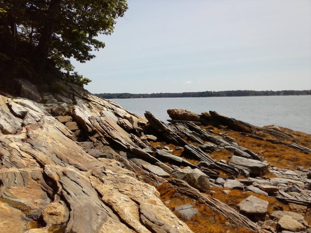
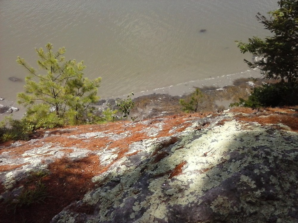
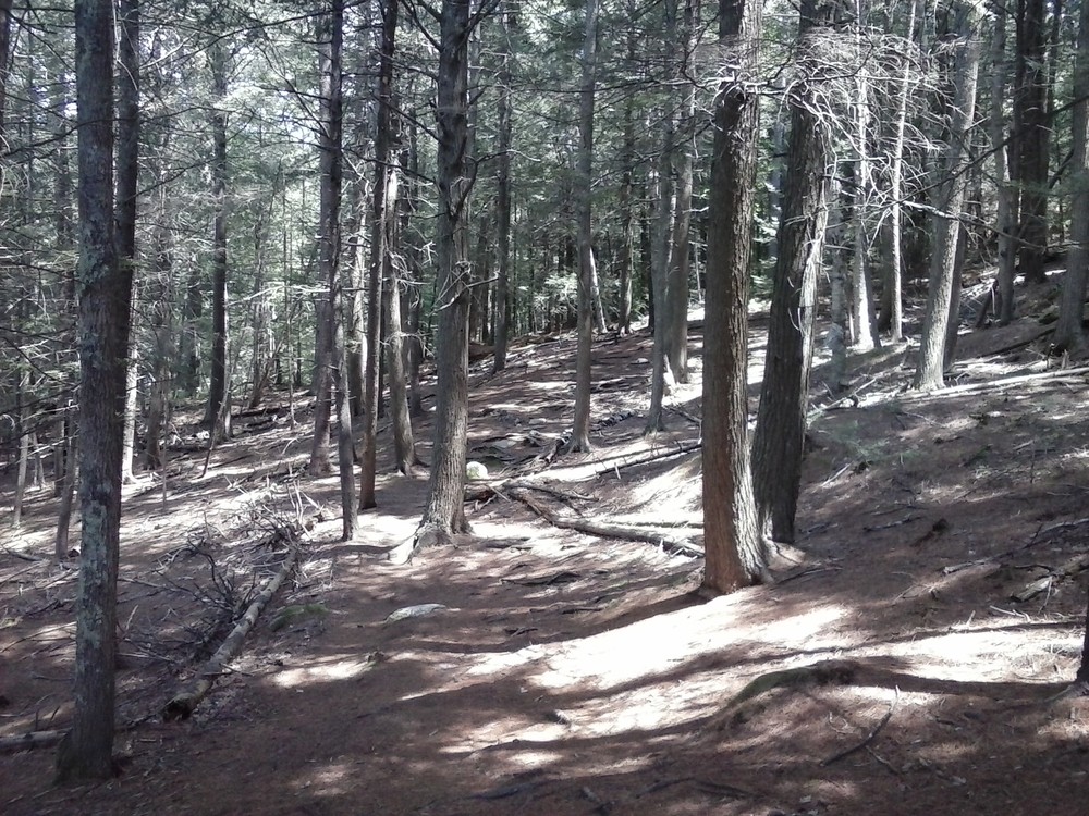
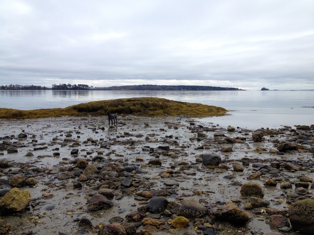
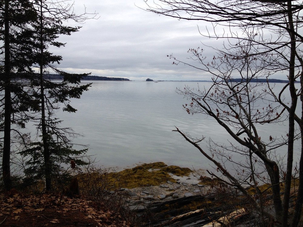
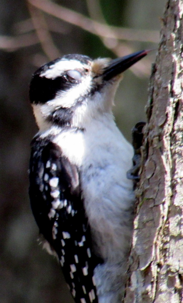
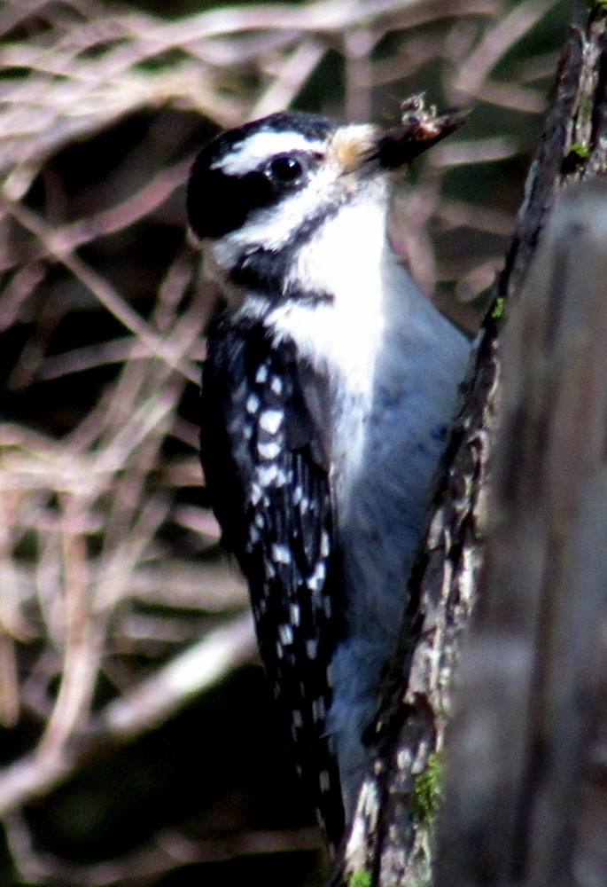
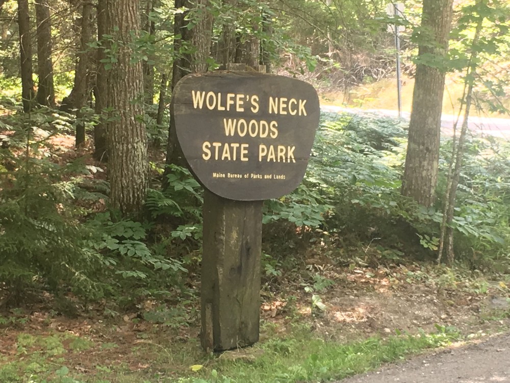
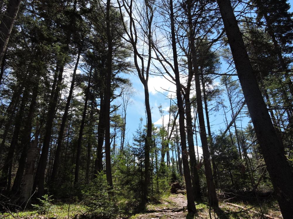
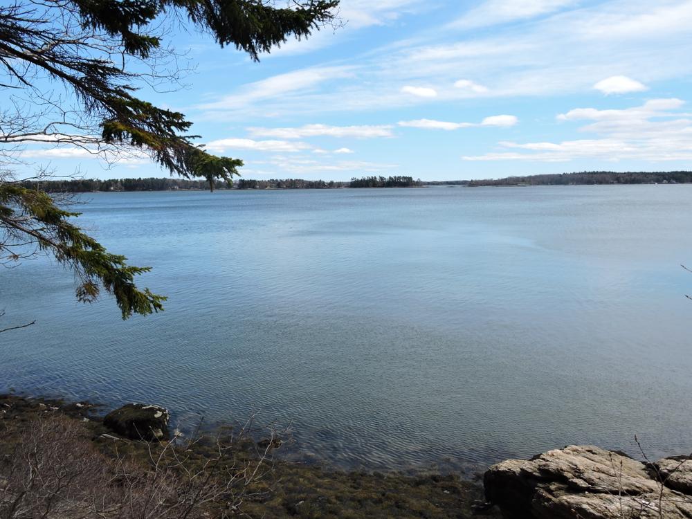
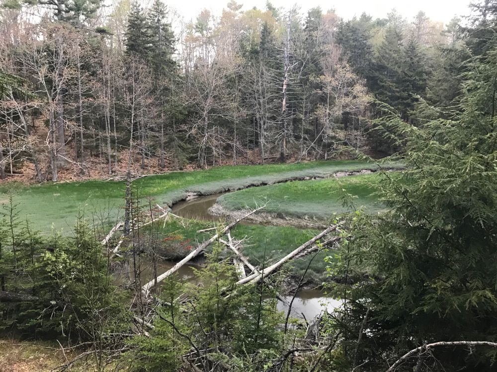
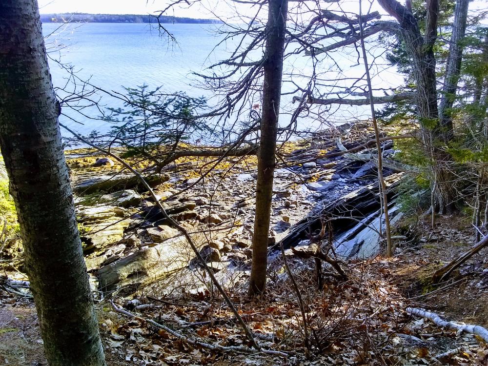
As visitors approach the park, marshes and open fields provide a tranquil transformation back to nature. In 1969, this area of more than 200 acres was given to the State of Maine by Mr. and Mrs. Lawrence M.C. Smith of Freeport. The park contains varied ecosystems, including climax forests of white pine and hemlock, a salt marsh estuary, and the rocky shorelines on Casco Bay and the Harraseeket River. The park's signature residents are the ospreys who nest on nearby Googins Island. An interpretive panel along the trail explains the life cycle of this majestic, graceful bird which summers on the island and makes its annual trek to South America each fall. Visitors who participate in a nature walk with the Park Naturalist can view the birds on their nest through a spotting scope.
The White Pines Trail (0.5 miles):
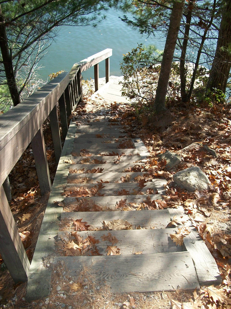
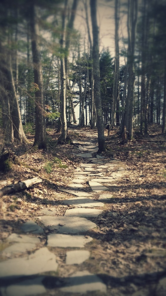
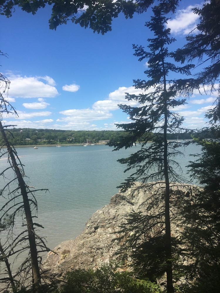
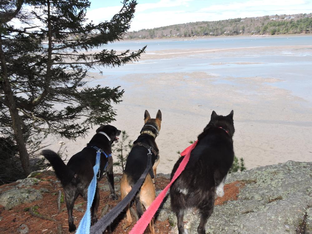
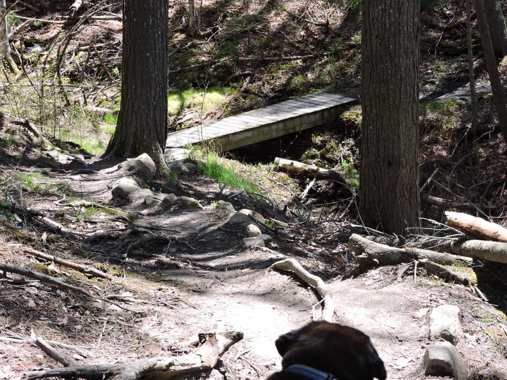
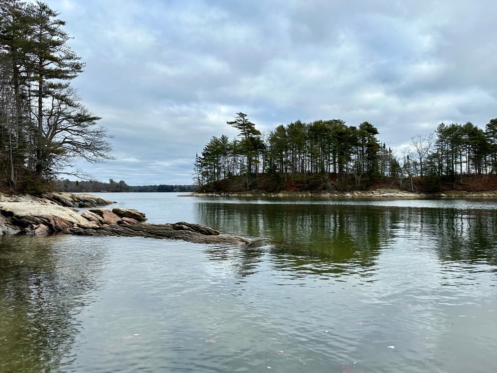
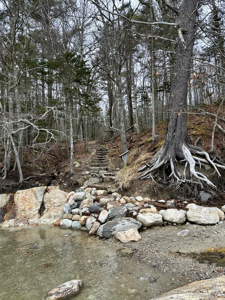
The White Pines trail is 5+ feet wide, accessible, and barrier-free with a firm gravel base. It follows the shoreline of Casco Bay, crossing several bridges with benches and interpretative panels along the way. This trail's terminus is located near the osprey nest on Googins Island, which sits about 200 yards off the coastline of the park. This trail is suitable for visitors in wheelchairs or with strollers.
Casco Bay Trail (0.5 miles):
This popular trail carries visitors along Maine's legendary coast to a point where the surrounding islands including Eagle, Cousins, and others are described on an interpretive panel. After discovering the trails, visitors can enjoy a picnic at one of many picnic sites, explore the rocky shoreline of Casco Bay or enjoy a group barbecue at the park's shelter area, available for rent for the many groups that frequent the park. When combined with the White Pines Trail, this walk can be extended to a 1.25-mile circuit.
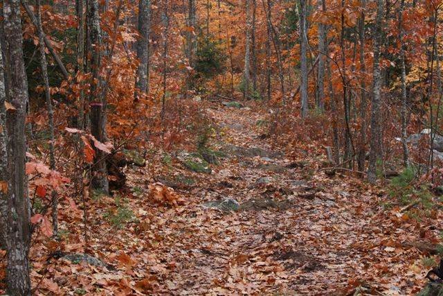
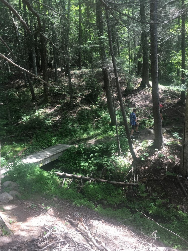
Harraseeket Trail (1.8 miles):
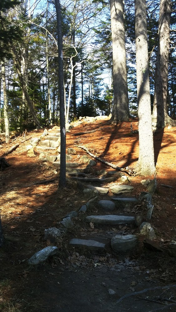
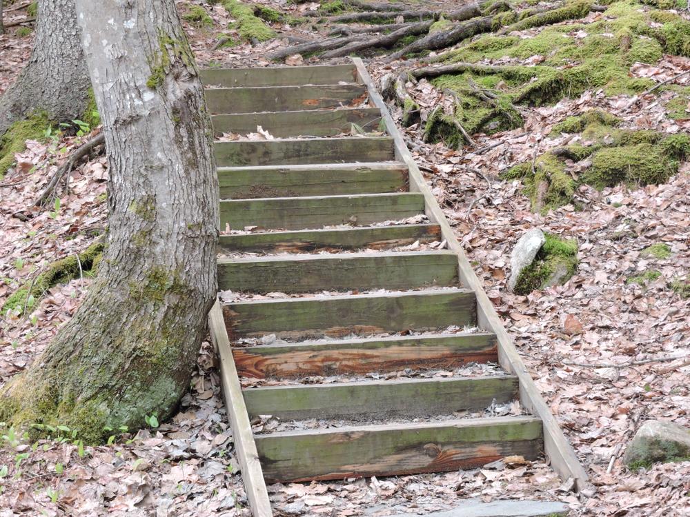
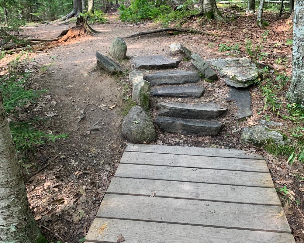
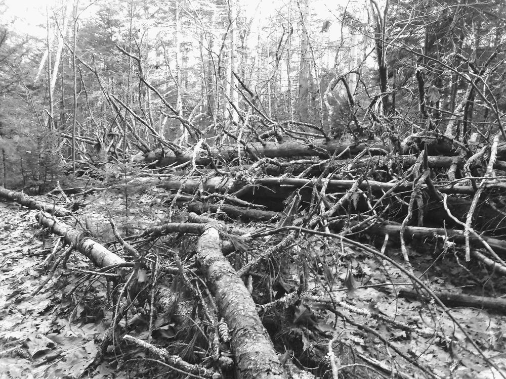
This is the longest trail in the park and provides fantastic views along Casco Bay and also views of the Harrasseket River. This trail is the most challenging and meanders through many interesting areas of the park over some steep and uneven terrain. Users will cross a roadway twice; please use caution looking for cars when crossing this road.
The North Loop Trail (0.5 miles):
This is a peaceful, easy walk that includes views of the nearby farm fields of Wolfe Neck Farm and a salt marsh along the shore.
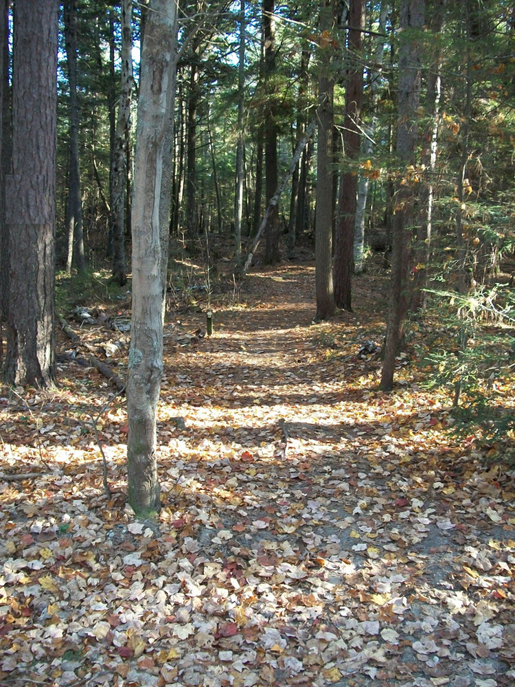
Power Line, Hemlock Ridge, Ledge, and Old Woods Trails (0.2 miles each):
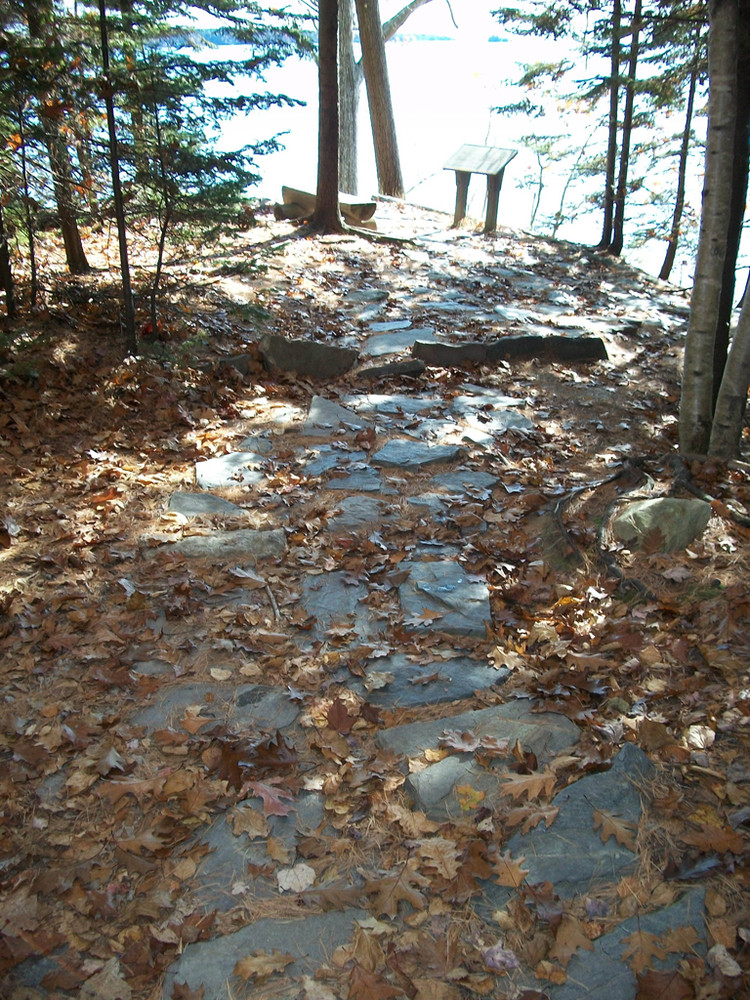
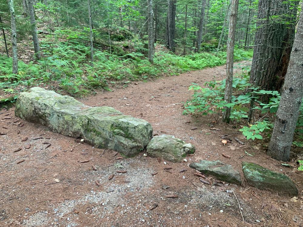
The park has several smaller trails throughout the park, many with interpretive panels explaining the many ecosystems and rich history of the park.
Read about Enock Glidden's visit to Wolfe's Neck Woods State Park using his wheelchair at MTF Stories.
View BPL's map and guide for Wolfe's Neck.
Guided Nature Programs are offered throughout the year in this beautiful natural setting. These one hour programs may include walks, short talks, and activities and are free with paid admission to all visitors. An updated program schedule is available on the Maine Bureau of Parks and Lands website or at the Park.
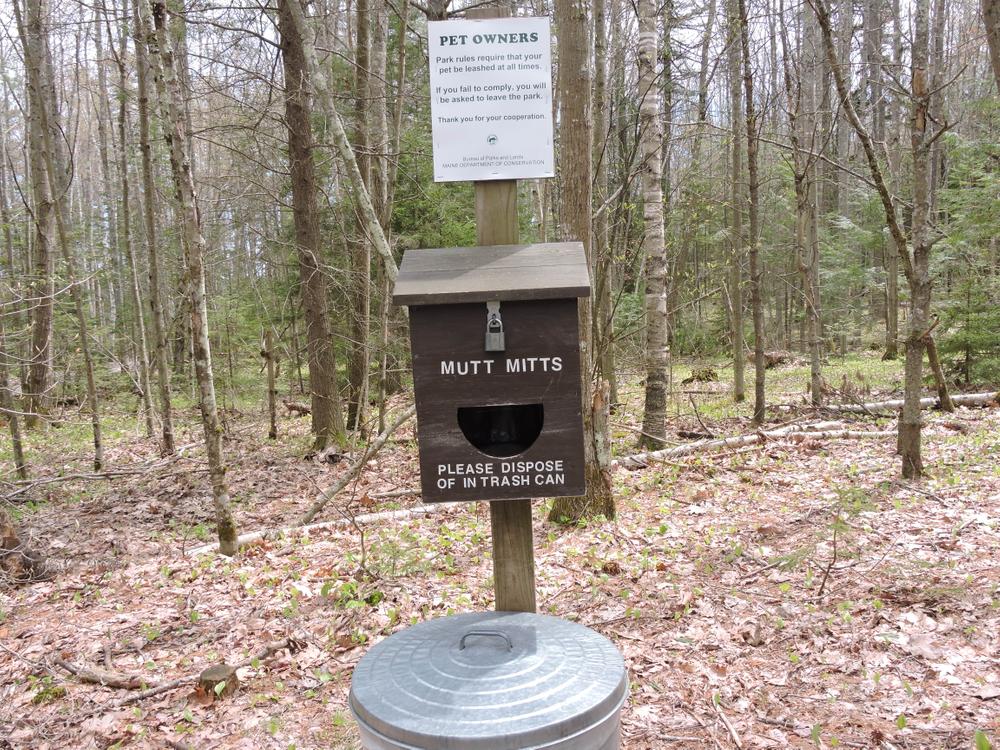
Visitors are asked to stay well clear of the osprey nest on Googins Island when the birds are nesting. As with many coastal parks, please bring warmer clothes as the cool ocean breezes often chill the unprepared visitor.
 Natural Heritage Hikes is a project of the Maine Natural Areas Program in partnership with Maine Trail Finder. View the "Wolfe's Neck Woods State Park - Harraseeket Trail" guide online here.
Visit Maine Bureau of Parks and Lands online for more information and a printable map or contact:
![]()
Use Water to Drown Your Fire: Fully extinguish fires with water before you leave.
From North or South: From I-295, take Exit 22 and turn east on Mallet Drive. Continue to the traffic light and turn right onto Main Street. In 0.2 miles, turn left onto Bow Street (across from L. L. Bean). Continue on Bow Street (becomes Flying Point Road) 2.3 miles following signs for Wolfe's Neck State Park. Turn right at Wolfe’s Neck Road and follow the road to the park entrance on left in 1.4 miles.
Success! A new password has been emailed to you.