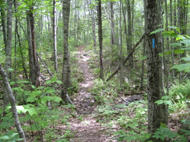
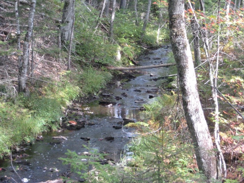
The Oyster River Bog section of the Georges Highland Path trail system is a moderately easy “walk through the woods” and provides excellent hiking opportunities for people of all ages and abilities. The Oyster River Bog, also known as the Rockland Bog, is an unusual 6,000-acre woodland nestled amid the busy mid-coast communities of Rockland, Rockport, and Warren. Over 1,600 acres are held in conservation by the City of Rockland, the Oyster River Bog Association, and Southern Maine Wetlands Conservancy. The Bog is an area rich in history and diverse in natural resources. Its forests, streams, wetlands, and peat bog offer prime habitat for an impressive variety of wildlife and plants.
The combination of the Oyster River Bog and Thomaston Town Forest sections of the Georges Highland Path provide a continuous ten-mile hiking experience that connects US Route 1 in Thomaston to ME Route 90 in Rockport.
The Georges Highland Path network of conservation trails is a project of the Georges River Land Trust.
Please respect that this trail is on privately owned property. No overnight camping is allowed. There is a confusing network of active and abandoned woods roads in this area, so be careful to stay on the trail by following the blue blazes.
Visit Georges River Land Trust online for more information or contact:
Georges River Land TrustThe parking lot at northern end of the trail is on ME Route 90, 1.8 miles west of the intersection of ME Routes 90 and 17 in West Rockport.
The parking lot at southern end of trail (Jack Baker Woods) is on Beechwood Street in Thomaston, 3.3 miles south of the intersection of Beechwood Street and ME Route 90.
Success! A new password has been emailed to you.