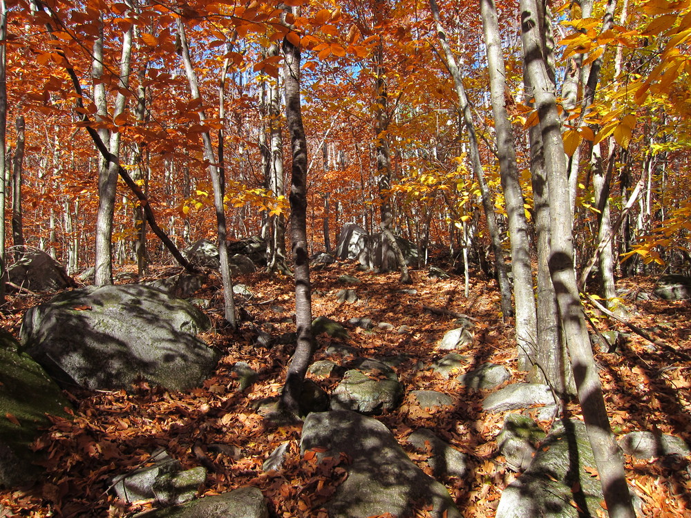
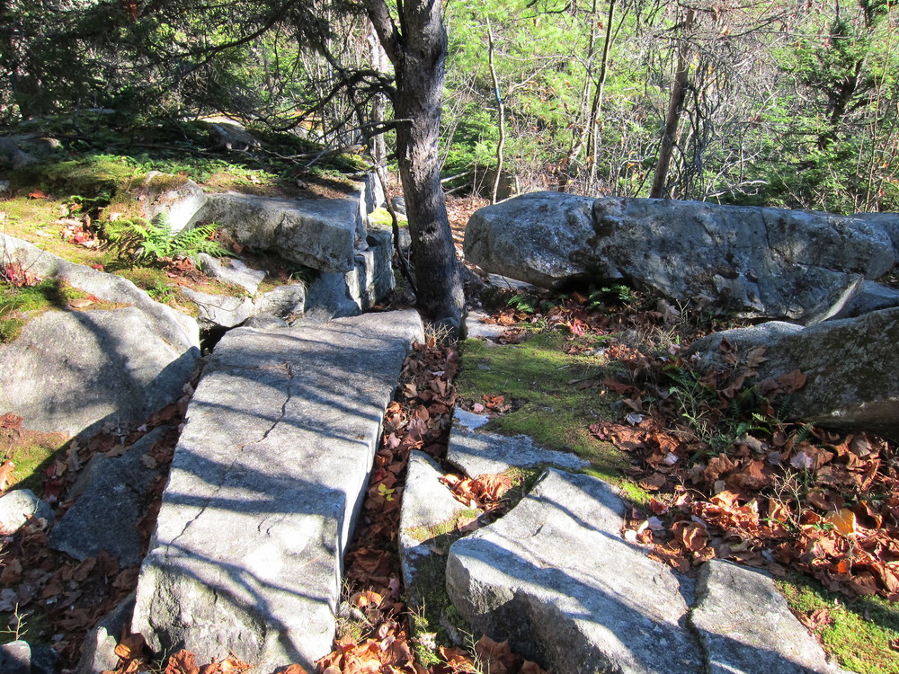
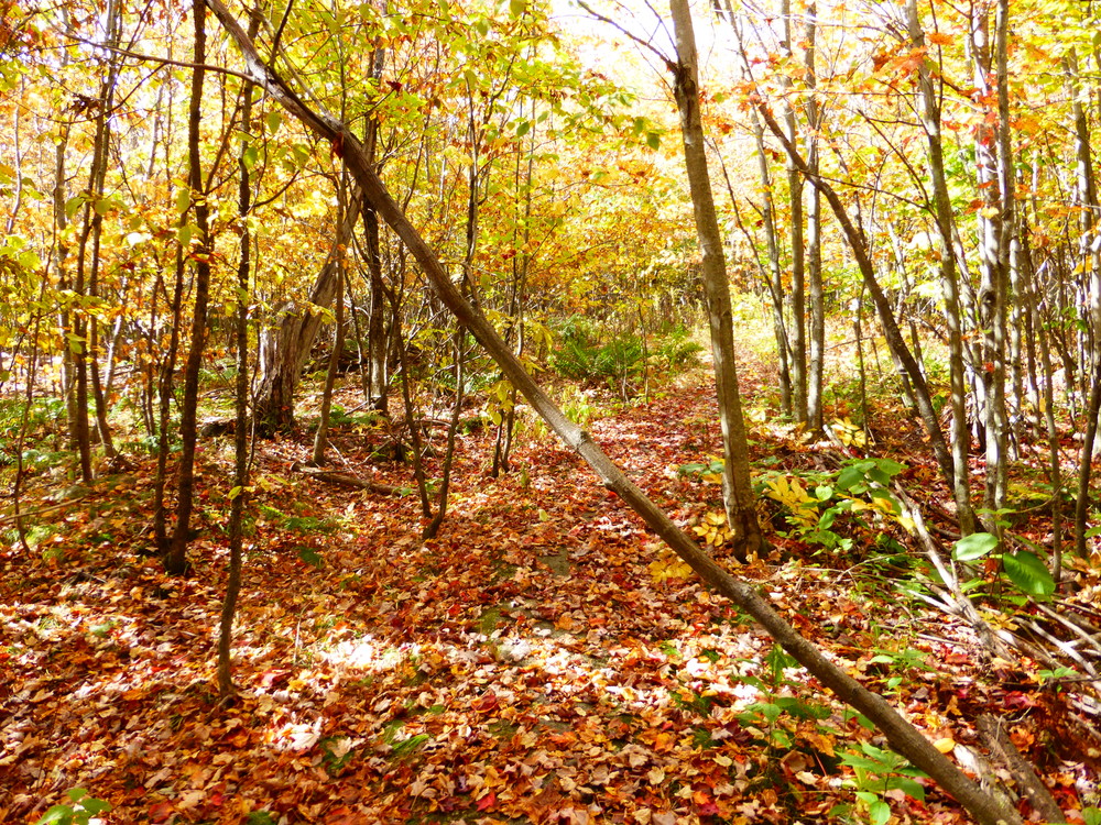
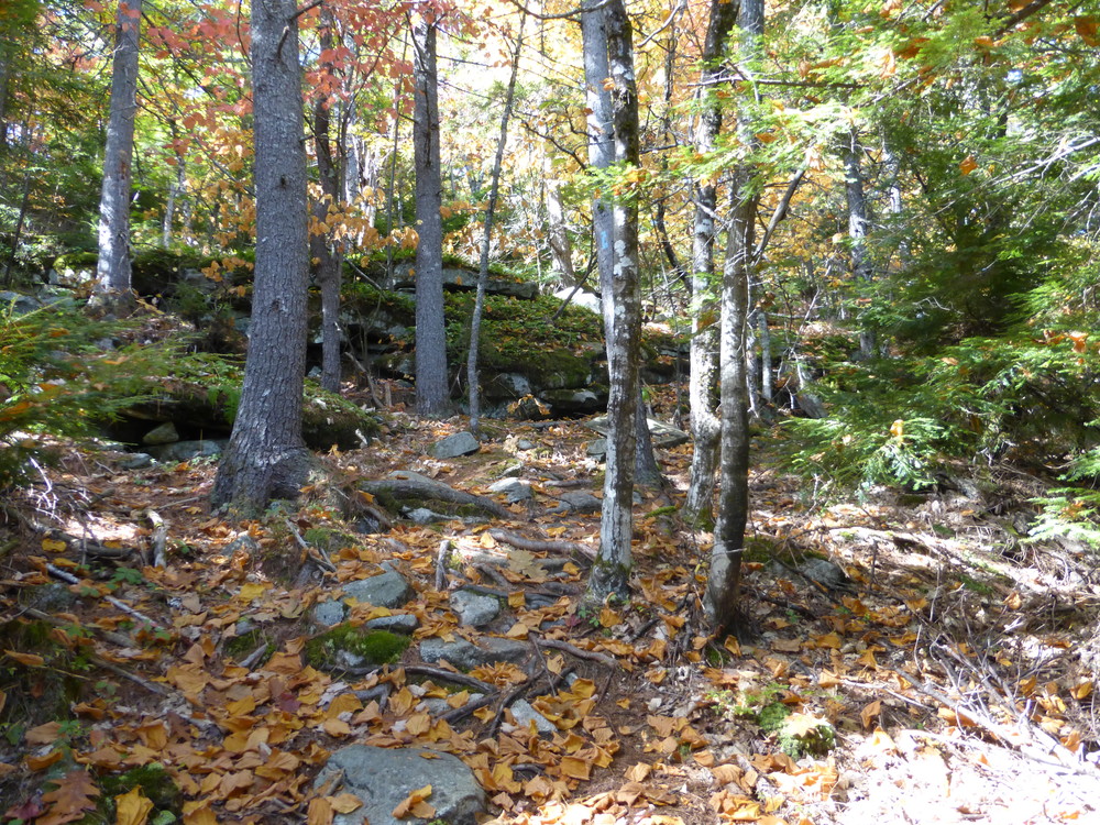
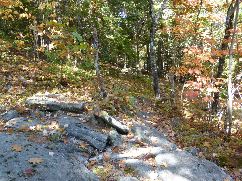
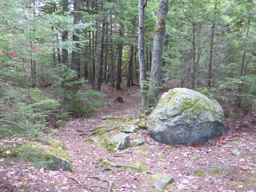
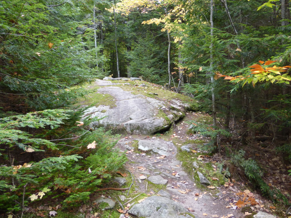
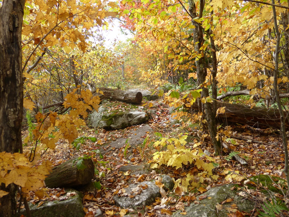
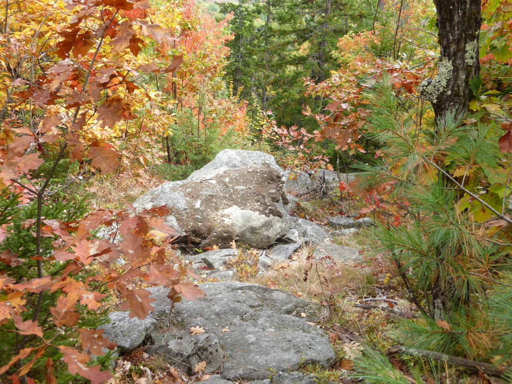
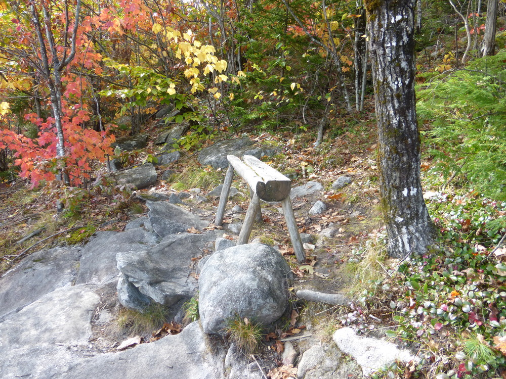
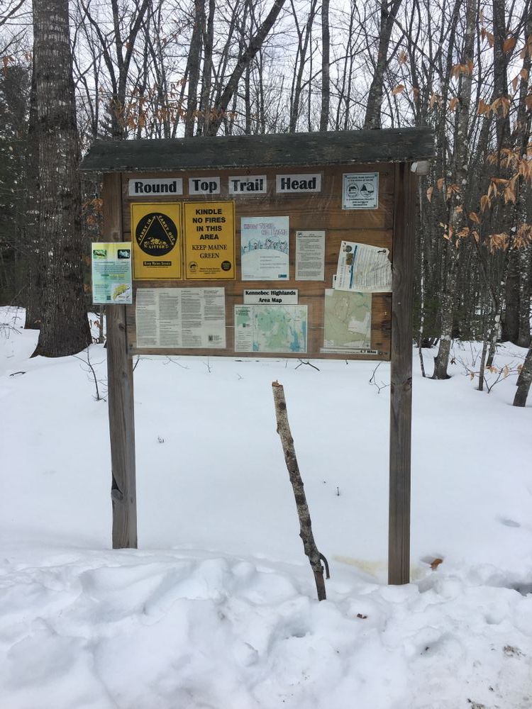
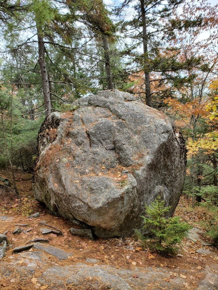
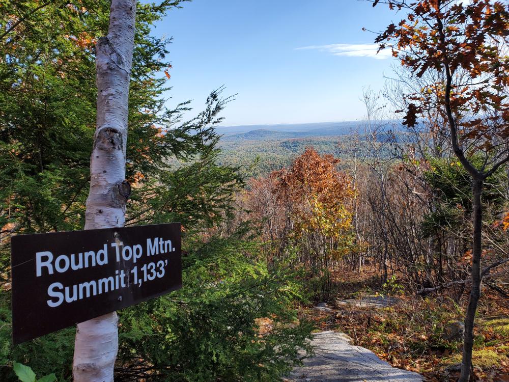
The Round Top Trail ascends Round Top Mountain (1,133') while winding through a diverse forest of young and old hardwoods and conifers. The trail, marked with blue blazes, is of moderate difficulty and leaves the parking lot in a westerly direction. Within 200 yards it crosses a large slab of granite originally quarried for an old foundation. After an initial rise, the trail meanders through the woods, briefly opening up for a view of Round Top Mountain, before dropping to a junction with the Kennebec Highlands Trail at 1 mile.
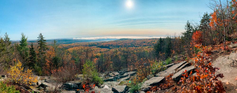
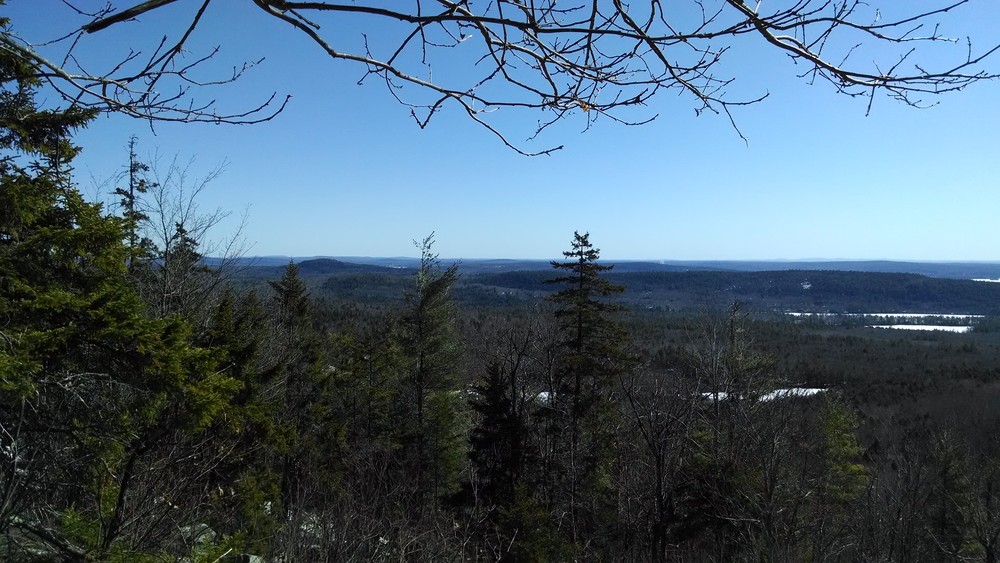
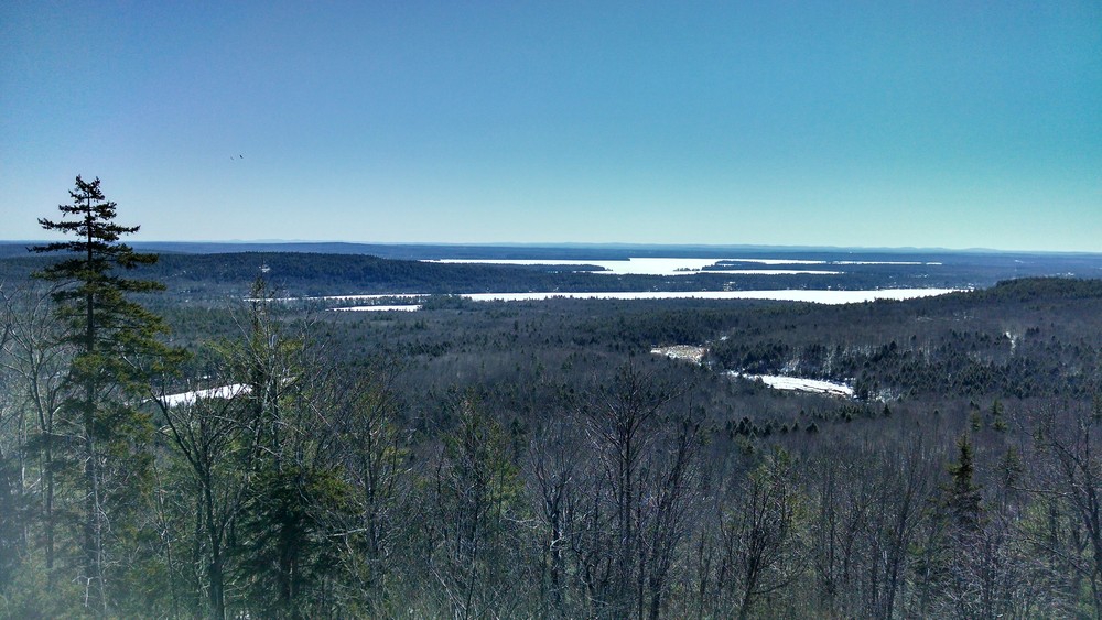
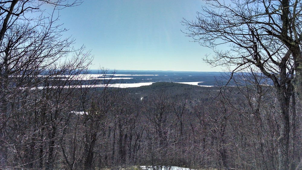
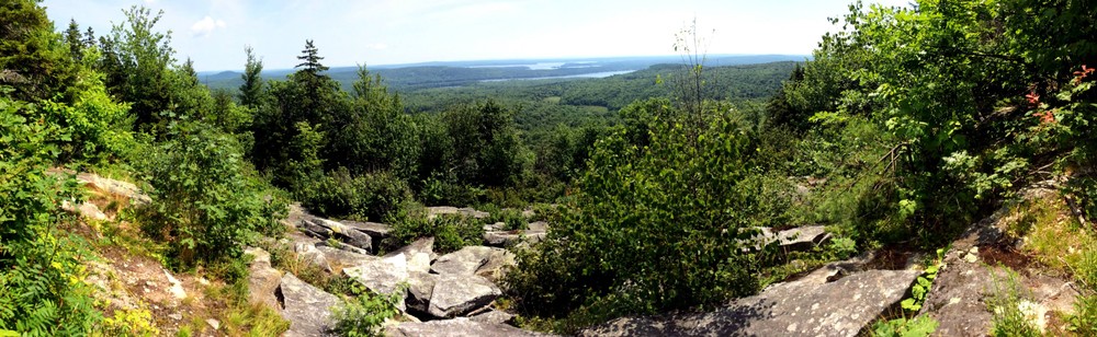
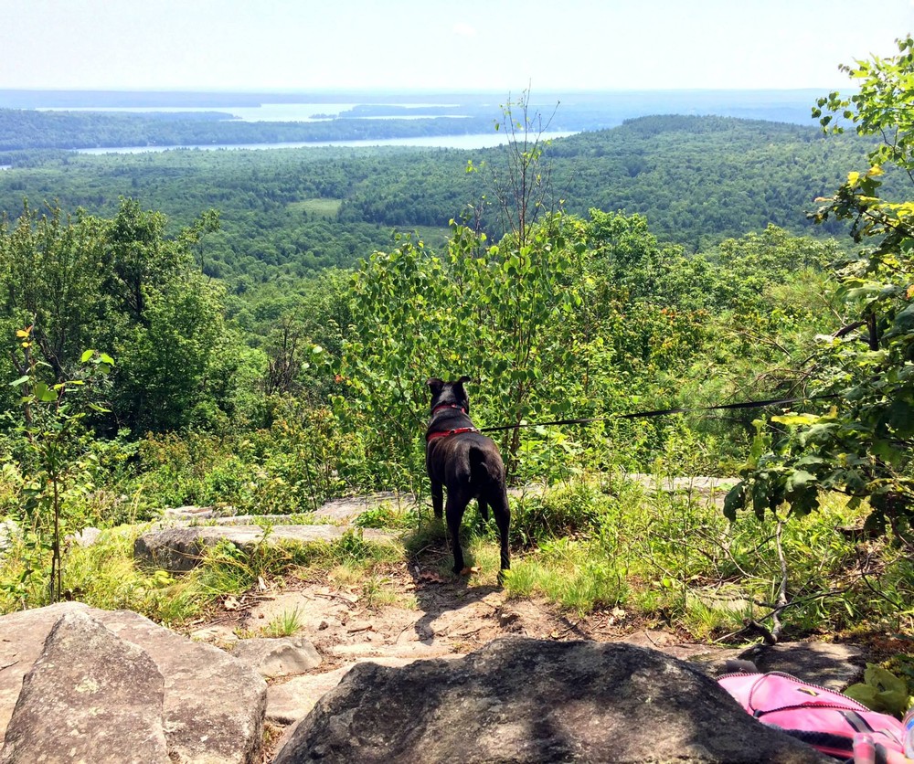
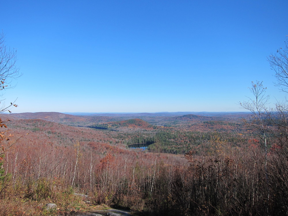
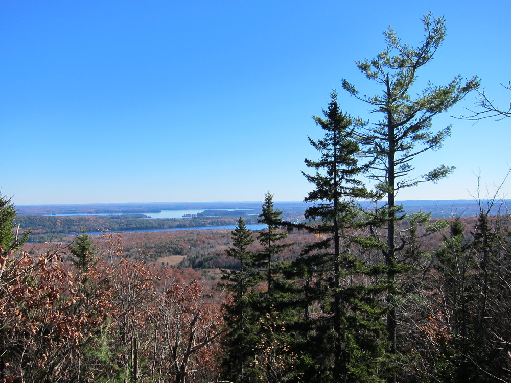
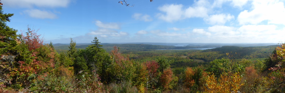
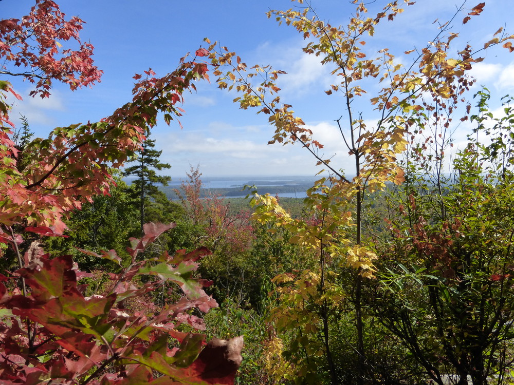
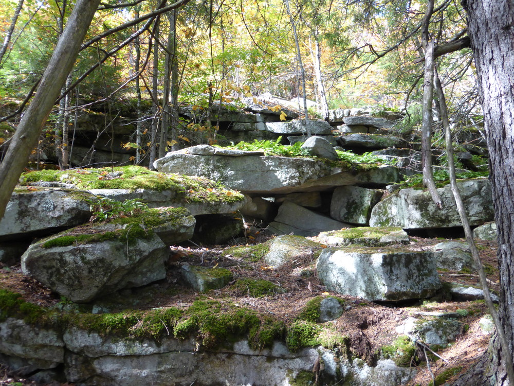
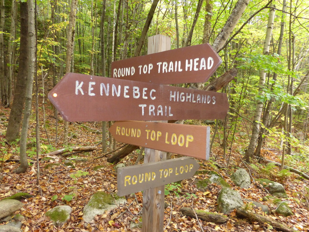
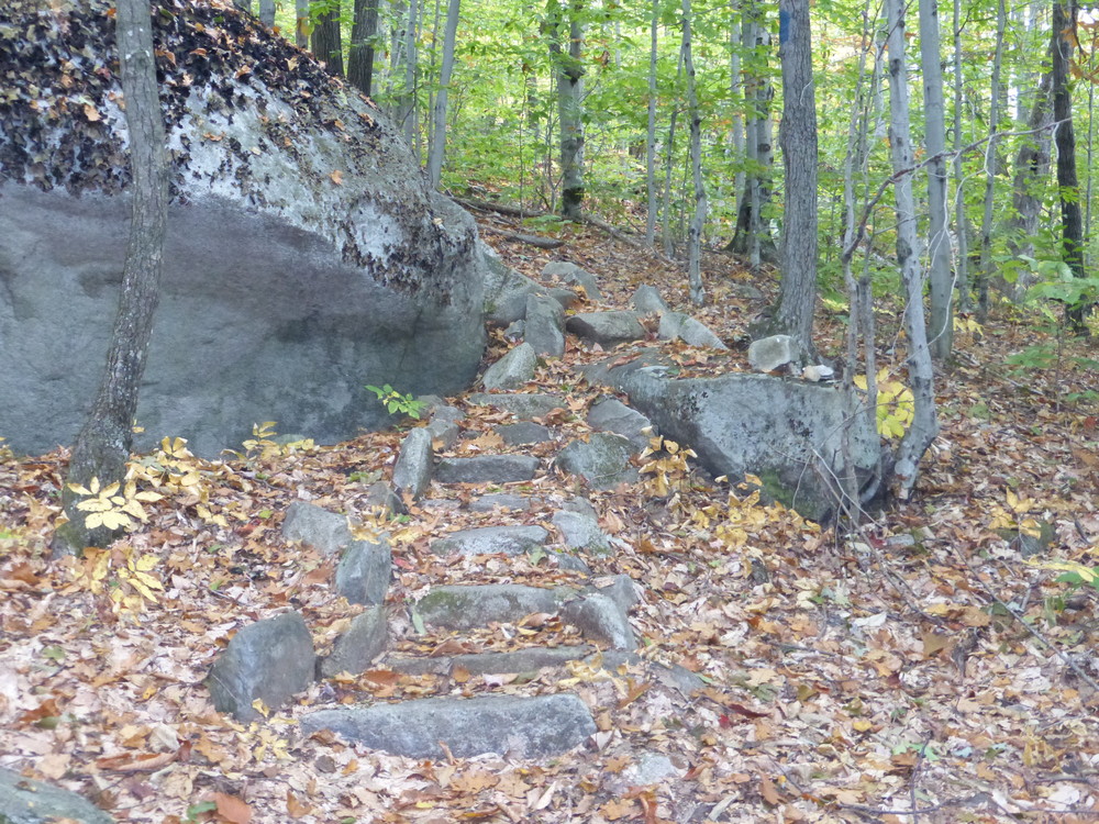
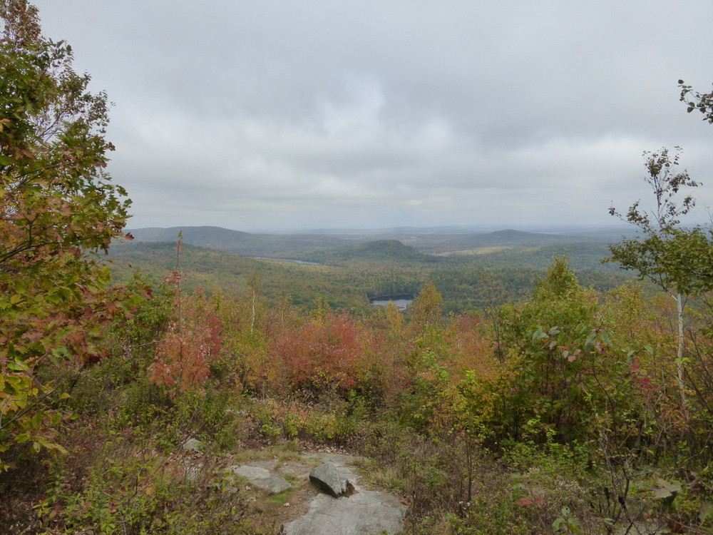
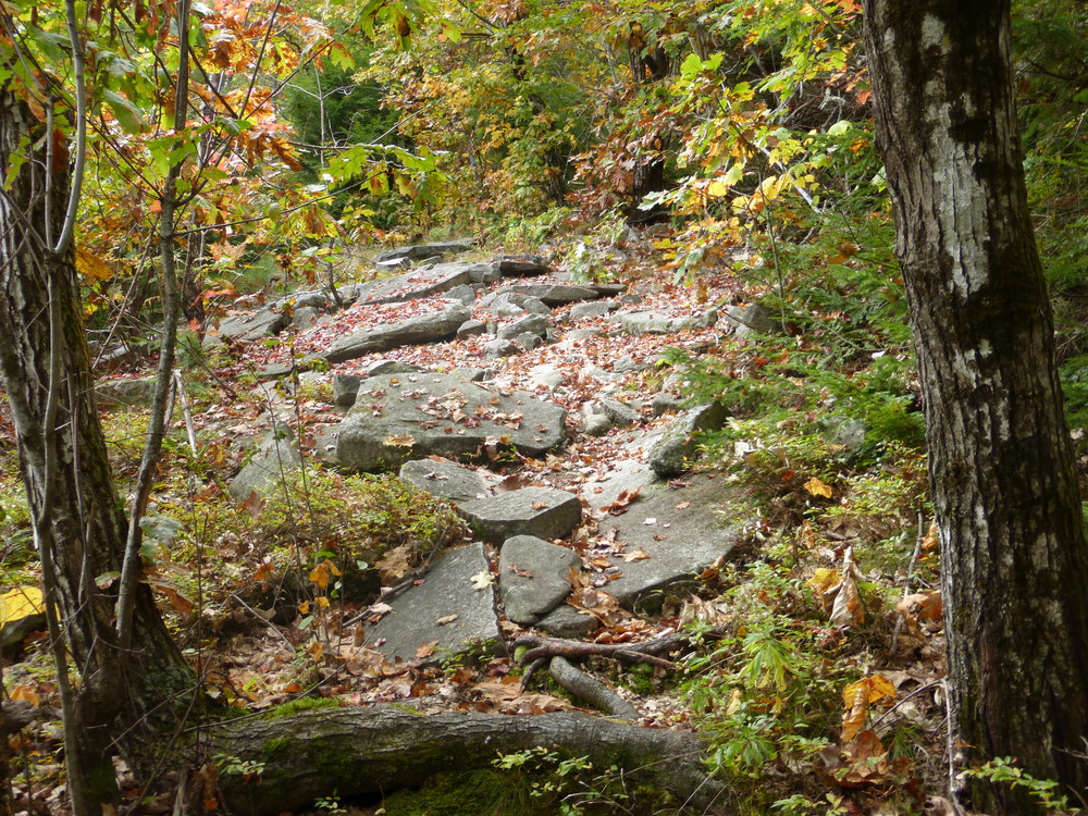
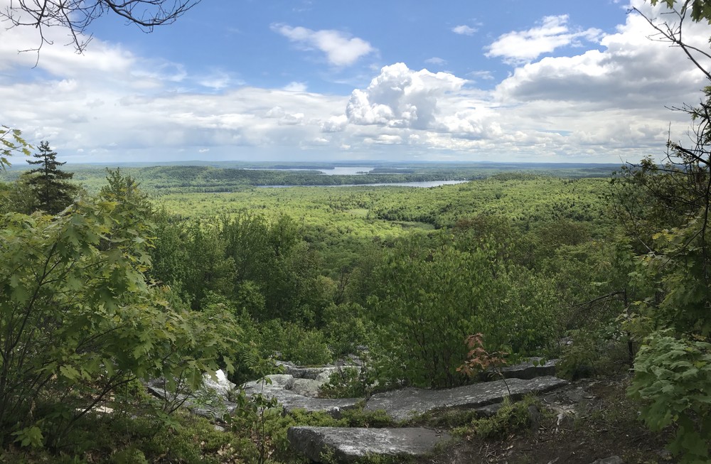
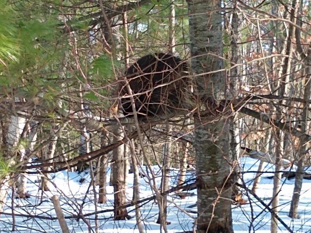
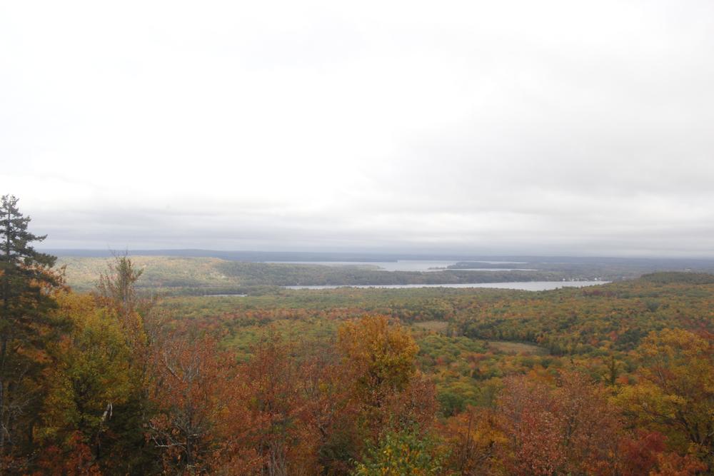
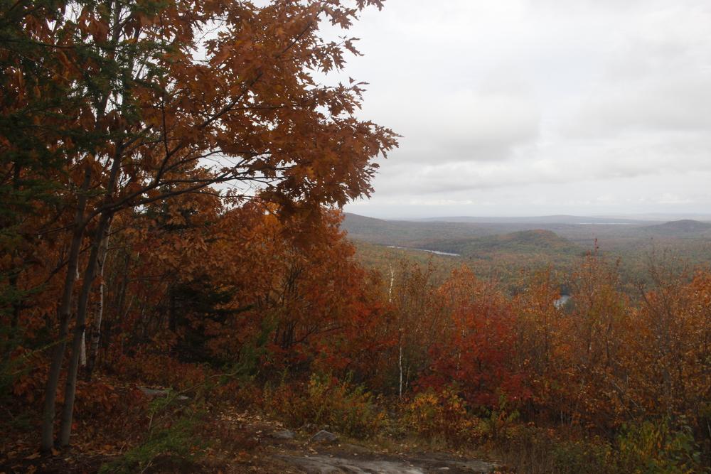
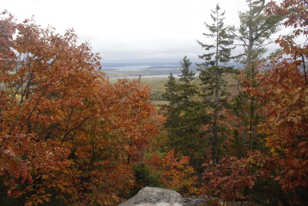
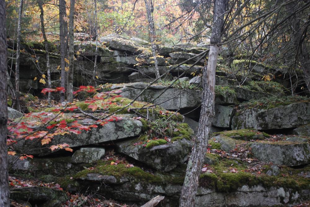
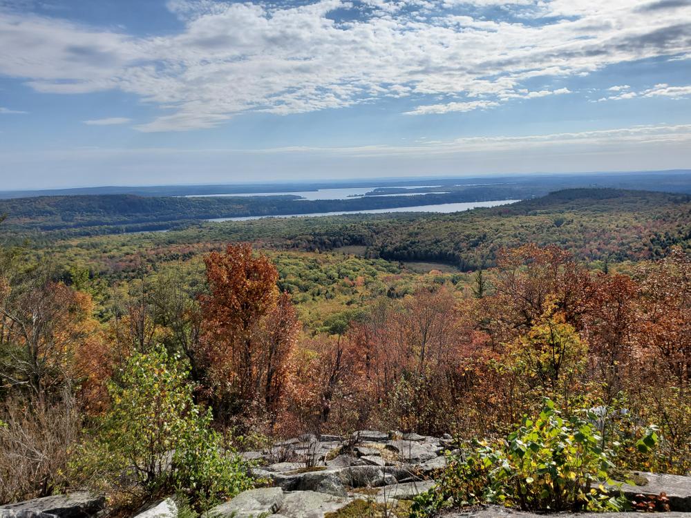
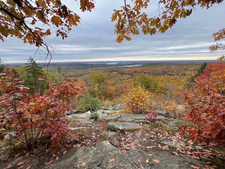
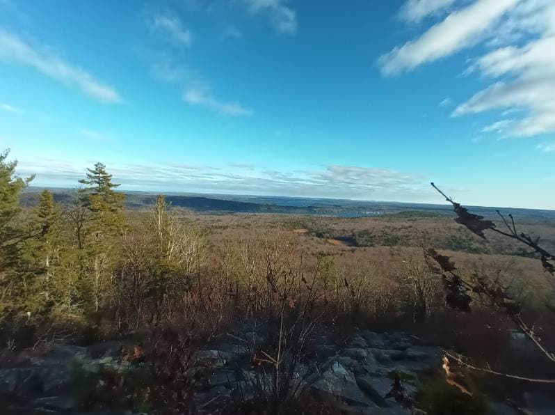
After crossing the Kennebec Highlands Trail, the Round Top Trail climbs steadily northward. As the trail approaches Round Top Mountain’s summit, views open up to the east and south. Near the top, at 1.7 miles, a spur trail leads north (description below). The main trail continues northeast, passing an overlook with views of Long Pond, Belgrade Lakes Village, and Great Pond, and then descends to a second overlook at an open area with large rock slabs and porcupine dens. The trail descends steeply, between and over large rocks, and joins the Kennebec Highlands Trail at 2.1 miles. Turn right (south) onto this broad gravel trail. At 2.9 miles bear right at a three-way junction, marked by a trail sign. A hundred yards past the junction (just before a Y-intersection of snowmobile trails) a rock cairn with a wooden sign post on the west side of the logging trail marks the Round Top Trail’s initial junction with the Kennebec Highlands Trail. Turn left (east) and follow the Round Top Trail back to the parking lot.
The Round Top Spur Trail, 0.3 miles long each way, leads to the north end of Round Top Mountain and two overlooks with spectacular views. The first view looks northward and east to Round Pond below, and French Mountain, Mount Phillip, North Pond, and Great Pond. The spur trail ends at a second overlook, which includes additional views of Watson Pond, Sanders Hill, and Vienna Mountain (northwest through the trees).
View BPL's map and guide for the Kennebec Highlands Public Land.
The Kennebec Highlands is an area of Public Lands encompassing over 6,000 acres in northwest Kennebec County and southeastern Franklin County. This regionally significant large block of conservation land is the result of a long-term collaboration between the Belgrade Regional Conservation Alliance, now the 7 Lakes Alliance, and the Maine Bureau of Parks and Public Lands.
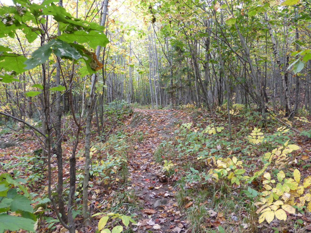
Users should note that the Kennebec Highlands Trail, which is crossed several times and in one case followed for a short distance, is a multi-use trail allowing snowmobile use in the winter.

This trail passes through a property that was acquired in part with funds from the Land for Maine’s Future program. For more information about the LMF program and the places it has helped to protect, please visit the LMF webpage.
Visit 7 Lakes Alliance or Maine Bureau of Parks and Lands online for more information or contact:
Maine Bureau of Parks and Lands, Western Public Lands OfficeThe trailhead is off Watson Pond Road, which leaves from the west side of ME Route 27 about a mile north of the intersection of ME Routes 27 and 225 in Rome. From ME Route 27, drive south on Watson Pond Road 4 miles to the parking area located on Watson Pond Road.
Success! A new password has been emailed to you.